
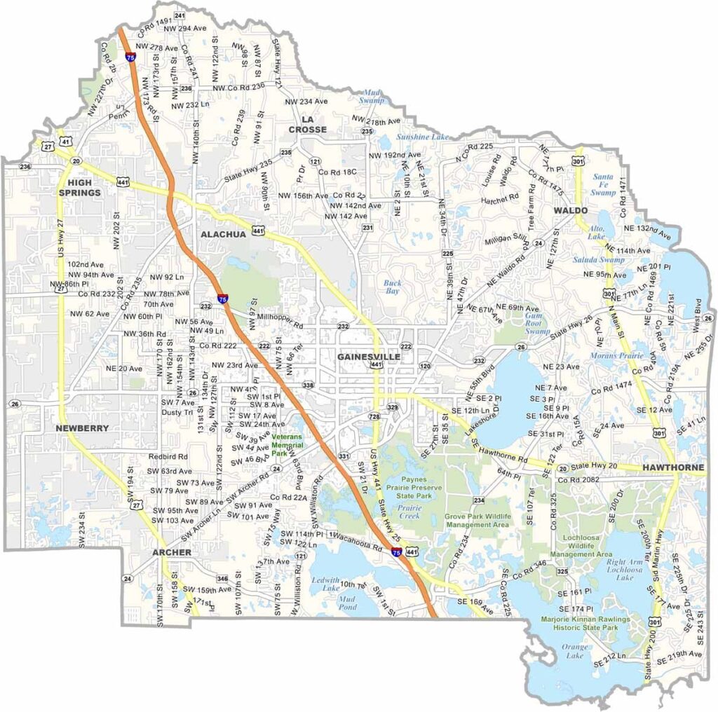
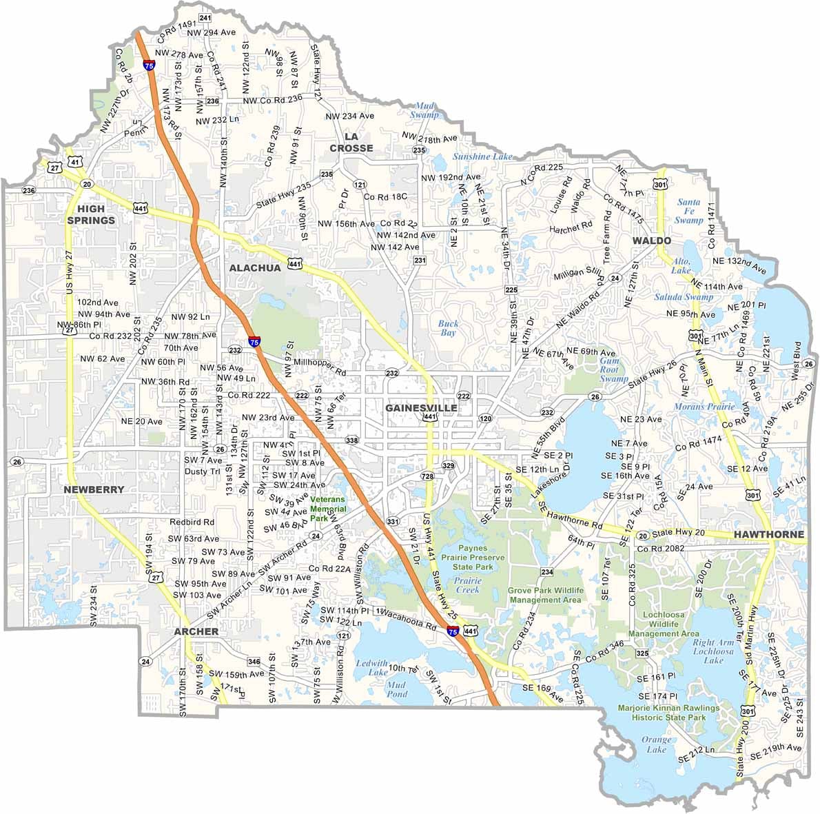
Alachua County sits in north-central Florida, roughly halfway between Jacksonville and Tampa. It is home to Gainesville, a vibrant college town and the location of the University of Florida. Gators football is a major part of the local culture and community spirit.
The county offers a mix of urban and rural landscapes, along with plenty of natural beauty to explore. Springs and sinkholes are scattered throughout the area, providing popular spots for swimming and diving. Gainesville also has a lively arts scene, especially downtown, while local farmers' markets offer fresh produce and community gatherings.
The weather stays warm for most of the year, although winter temperatures can occasionally require a jacket. Paynes Prairie Preserve State Park is a must-visit destination for nature lovers and birdwatchers. Despite continued growth and development, Alachua County maintains a strong sense of community and small-town character.
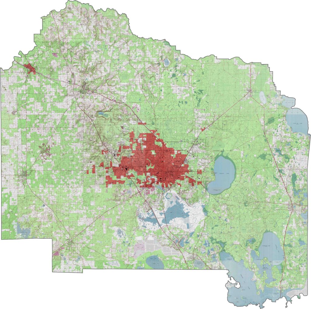
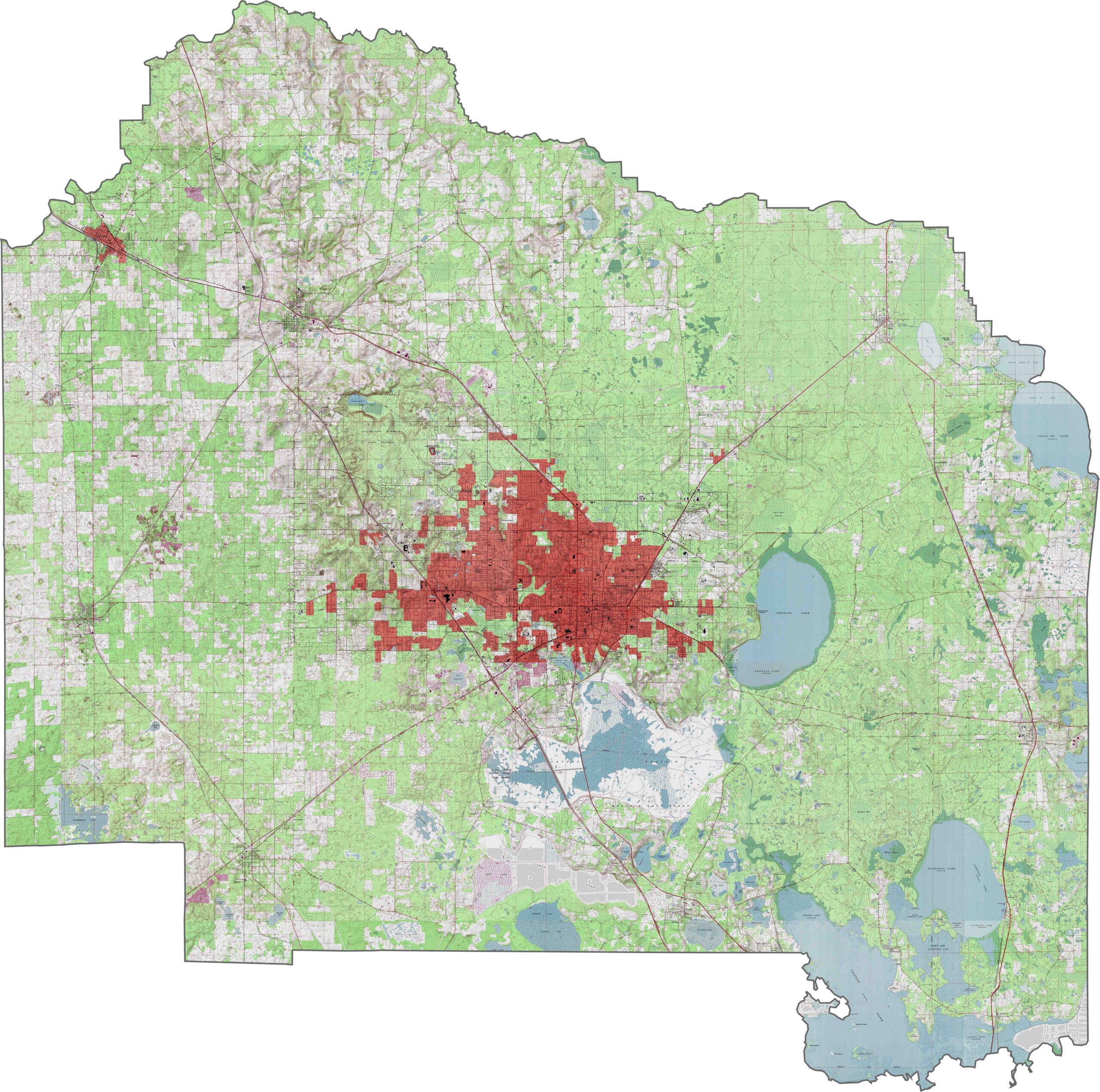
Our topographic map of Alachua County shows Gainesville’s urban center surrounded by rolling hills and the vast Paynes Prairie Preserve. Zoom in with our interactive tool to explore the numerous sinkholes and wetlands across this diverse landscape.
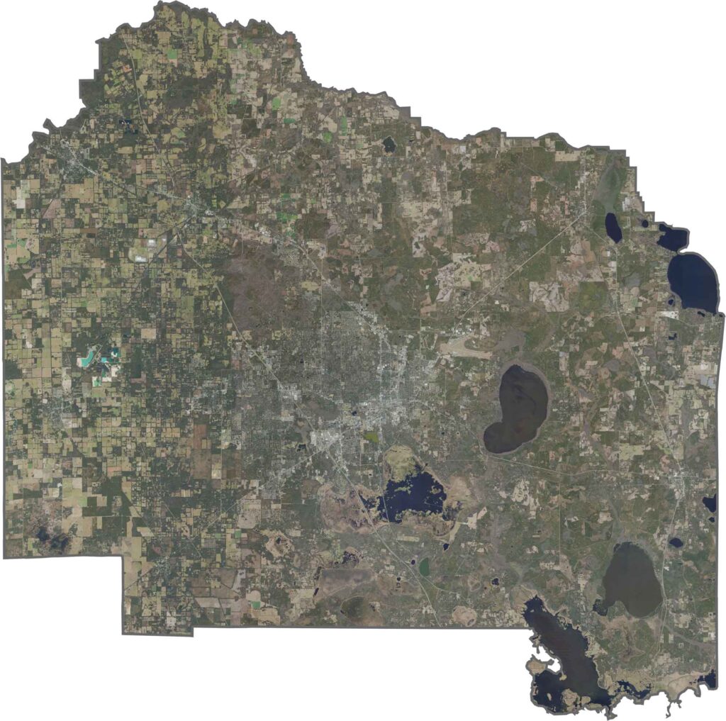
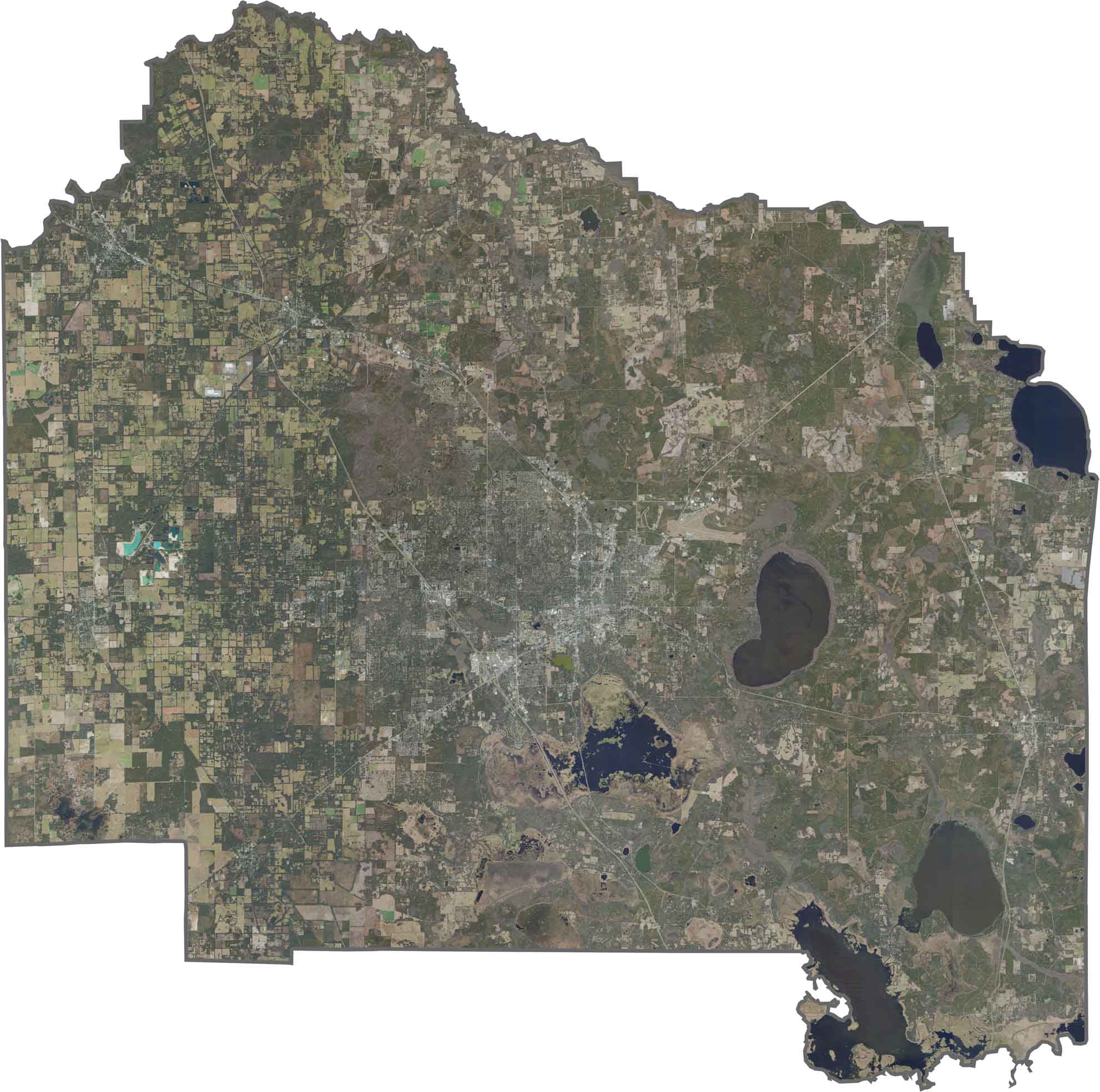
Our satellite map of Alachua County shows how Gainesville sits between several large lakes. Paynes Prairie forms a vast green basin south of the city, while Newnans Lake creates a distinctive oval shape along the eastern edge.
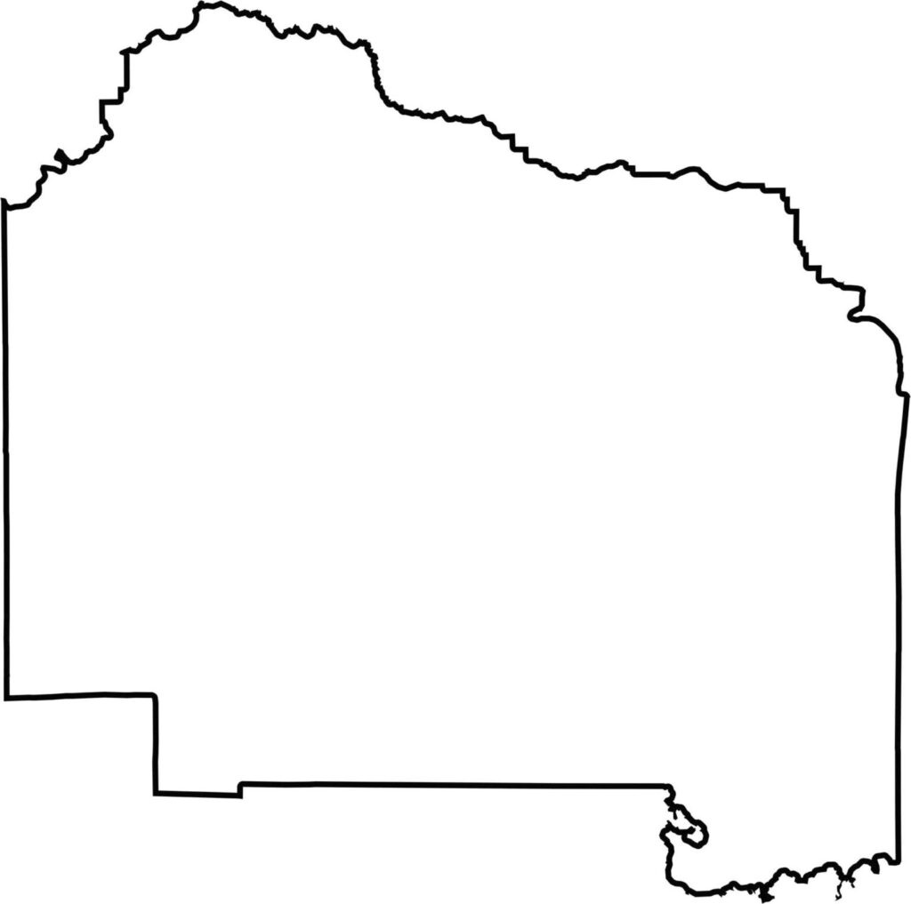
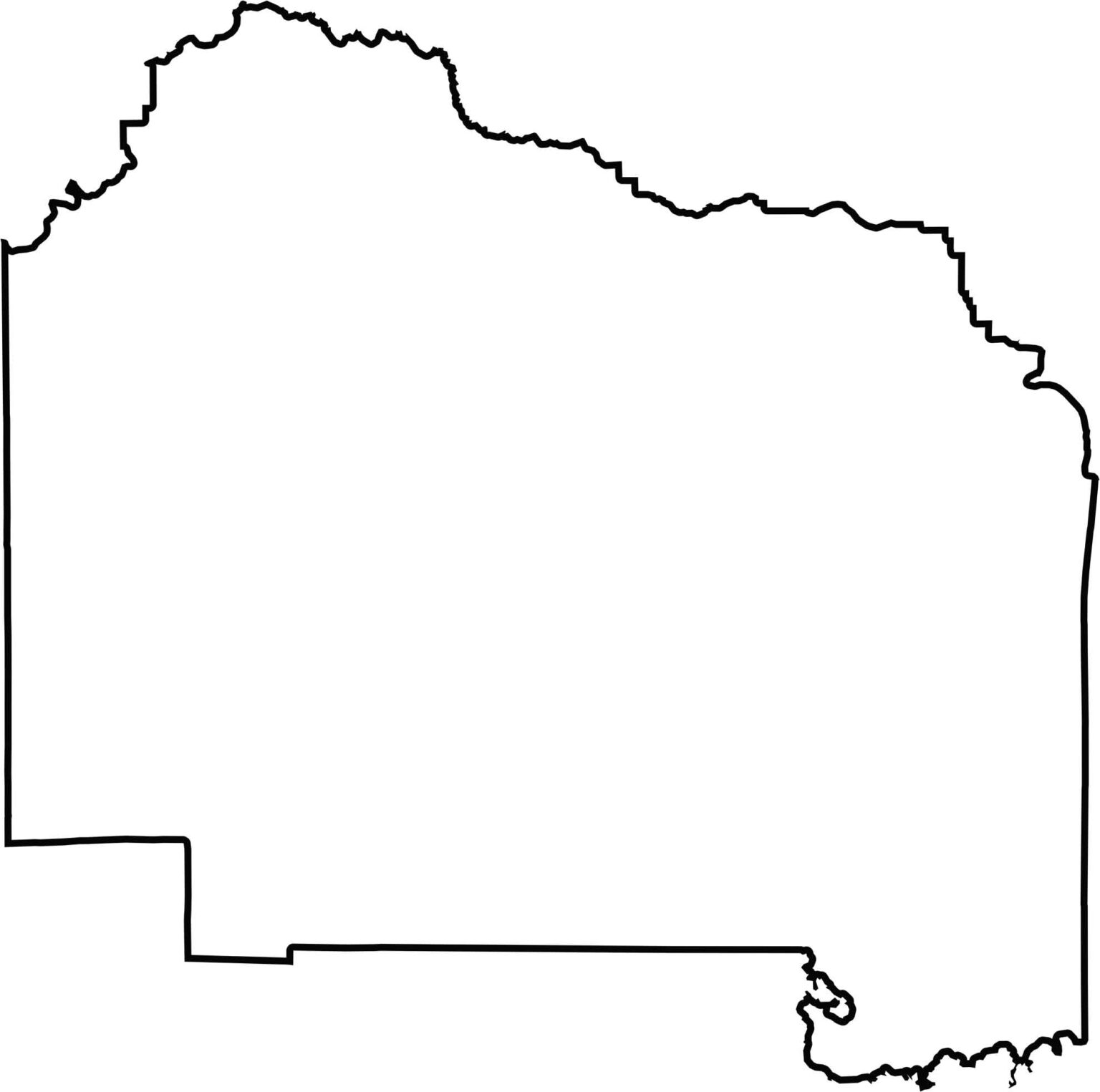
Our outline map of Alachua County highlights its almost rectangular shape, with a notch in the northeastern corner. The county borders eight other Florida counties.







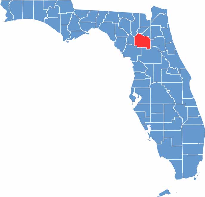
Looking for a county map of Florida? Our Florida County Map breaks down all 67 counties across the Sunshine State. Explore Florida through detailed topographic, satellite, and outline maps to better understand its geography, landscapes, and county boundaries.