
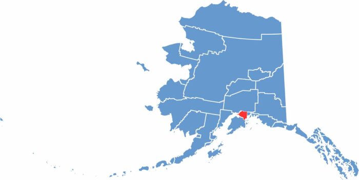
Anchorage Municipality is the largest city in Alaska, home to around 40% of the state’s population. Located at the head of Cook Inlet in south-central Alaska, it blends urban living with nearby wilderness, where moose can often be seen wandering through neighborhoods.
Anchorage serves as a major center for business and tourism, supported by its busy international airport. The city offers stunning views of the Chugach Mountains and features over 200 miles of trails for hiking and biking.
Winters are long and dark, while summers bring extended daylight, sometimes nearly 24 hours. Despite being a large city, Anchorage remains closely connected to nature, with easy access to activities like fishing, skiing, and wildlife viewing. It also has a diverse population, including many Alaska Native communities, and a vibrant cultural scene. The region is prone to earthquakes, including the powerful 1964 Good Friday earthquake, one of the strongest ever recorded in North America.
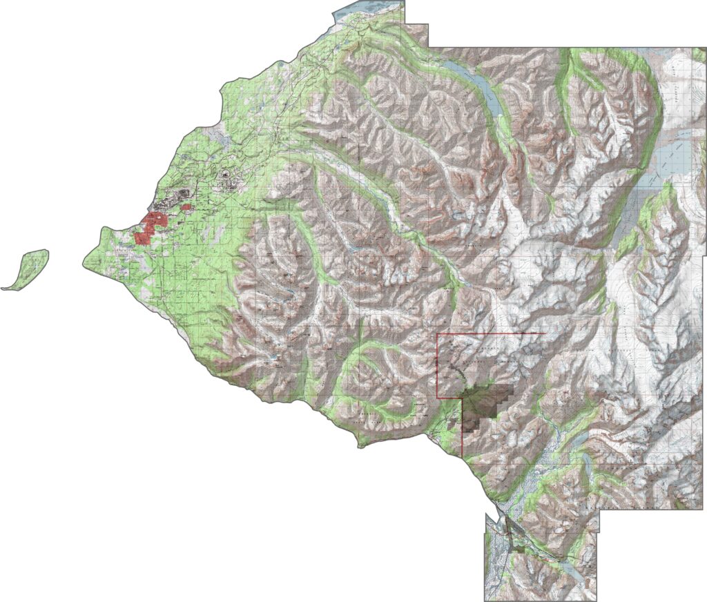
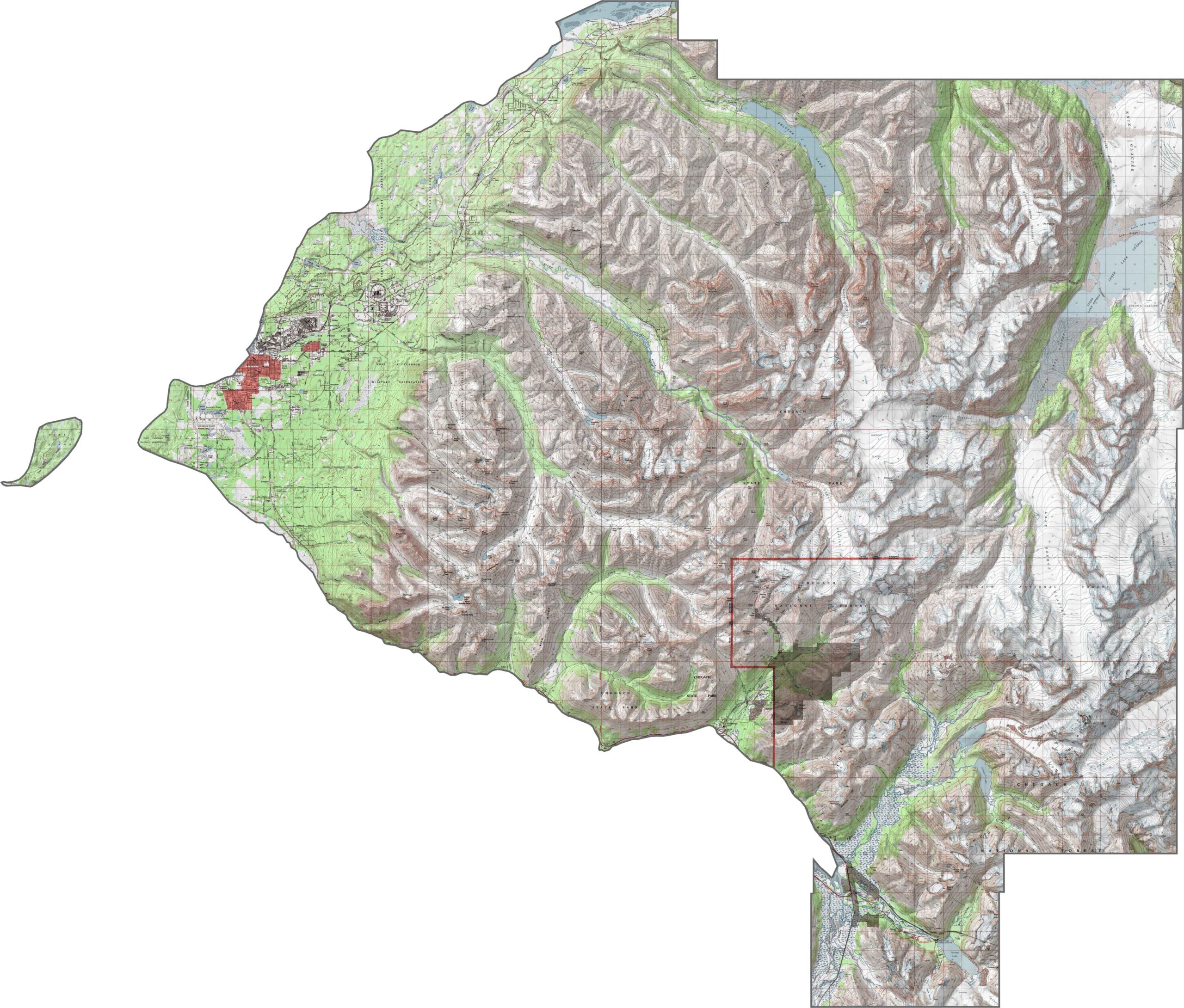
This topographic map highlights Anchorage’s elevation changes, ranging from sea level along Cook Inlet to the higher elevations of the Chugach Mountains. It clearly illustrates the valleys and ridges that define the landscape of Alaska’s largest urban area.
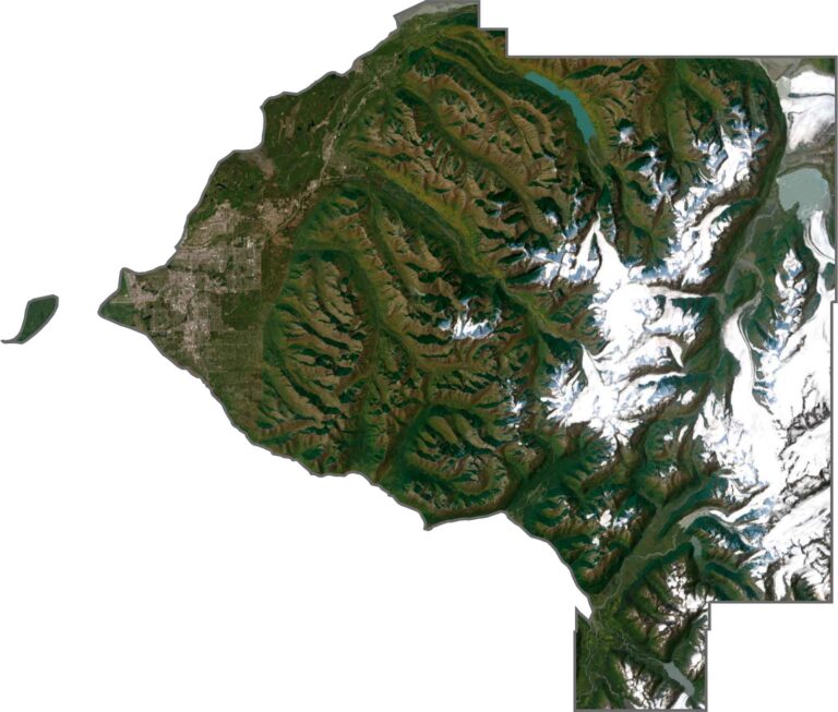
This satellite map highlights Anchorage, Alaska’s largest city, positioned between the mountains and the ocean. It shows both the urban center and the surrounding wilderness that defines the region.
This blank map highlights the boundaries of Anchorage, providing a clear outline for adding your own details. It captures the unique shape of Alaska’s largest city as it borders the waters of Cook Inlet.
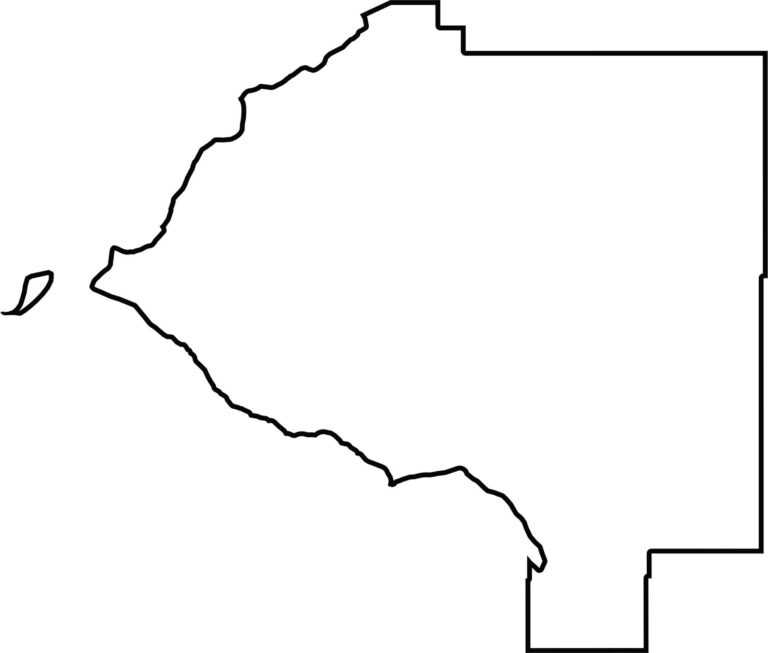
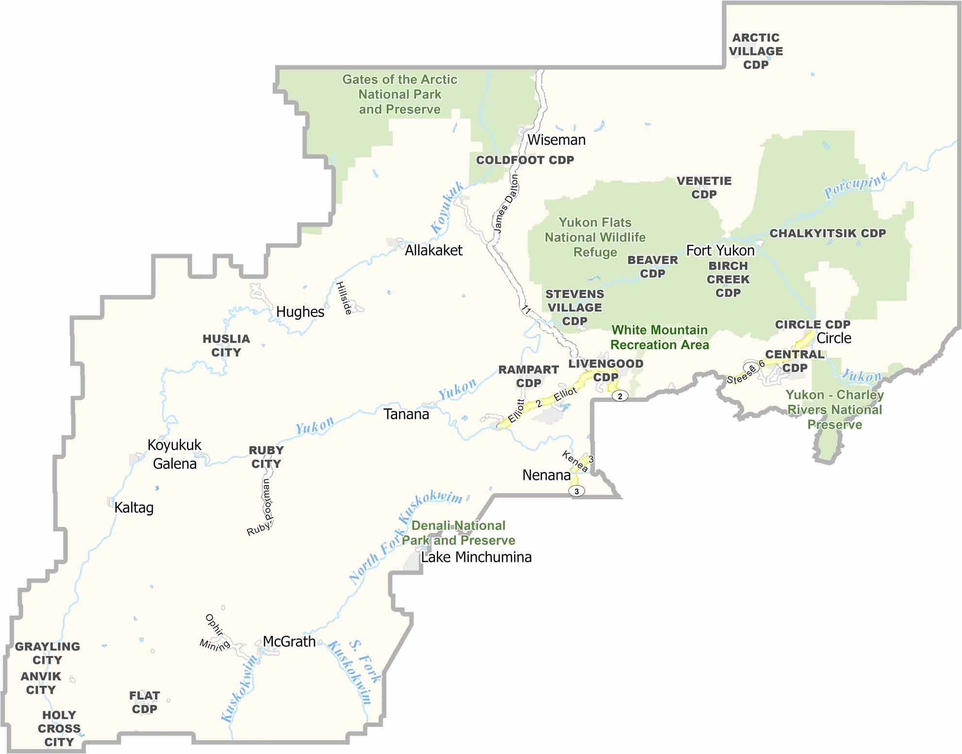
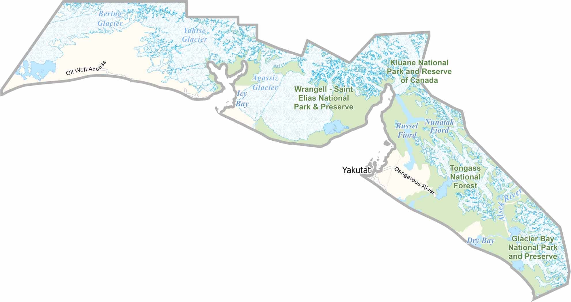
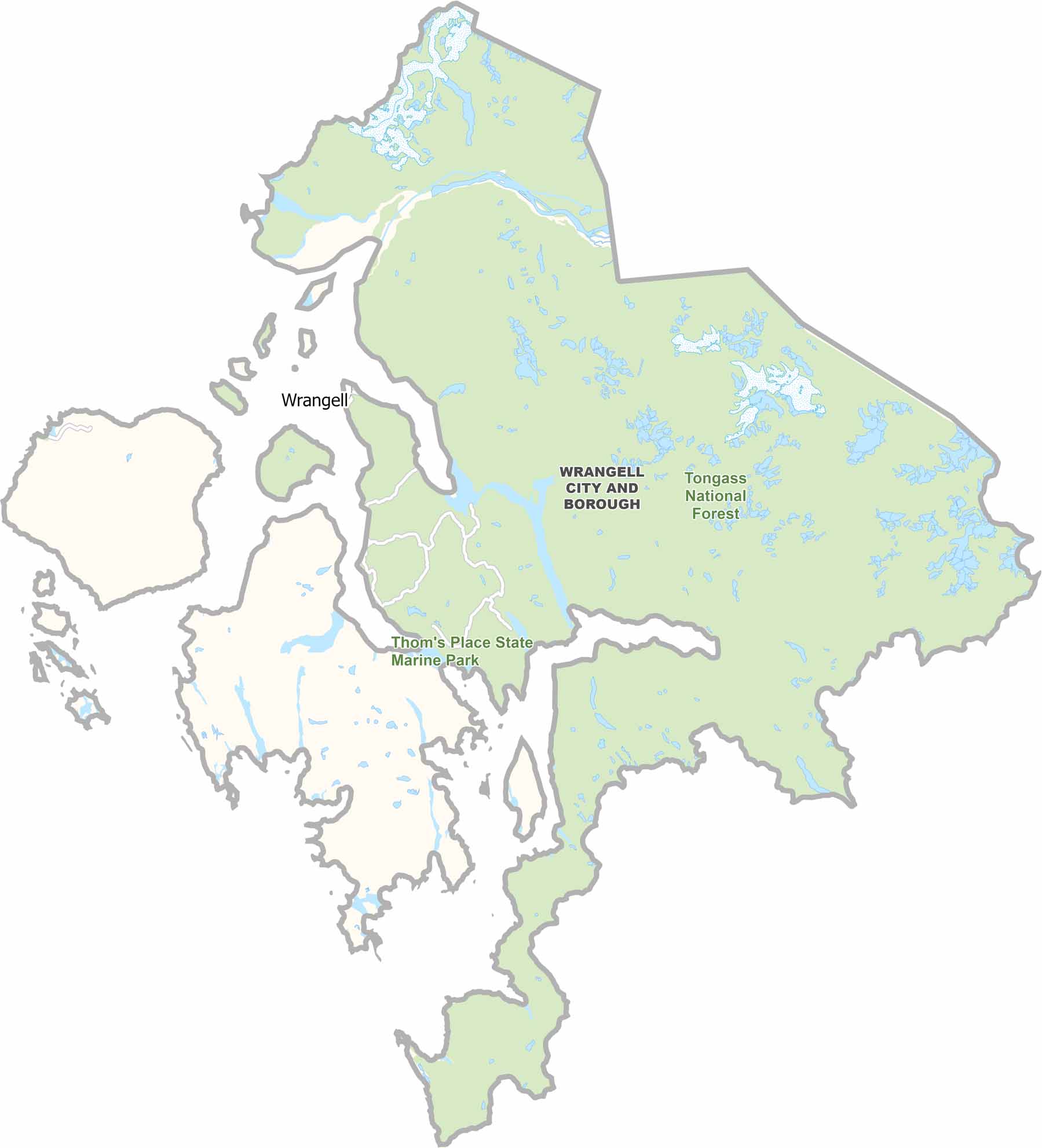
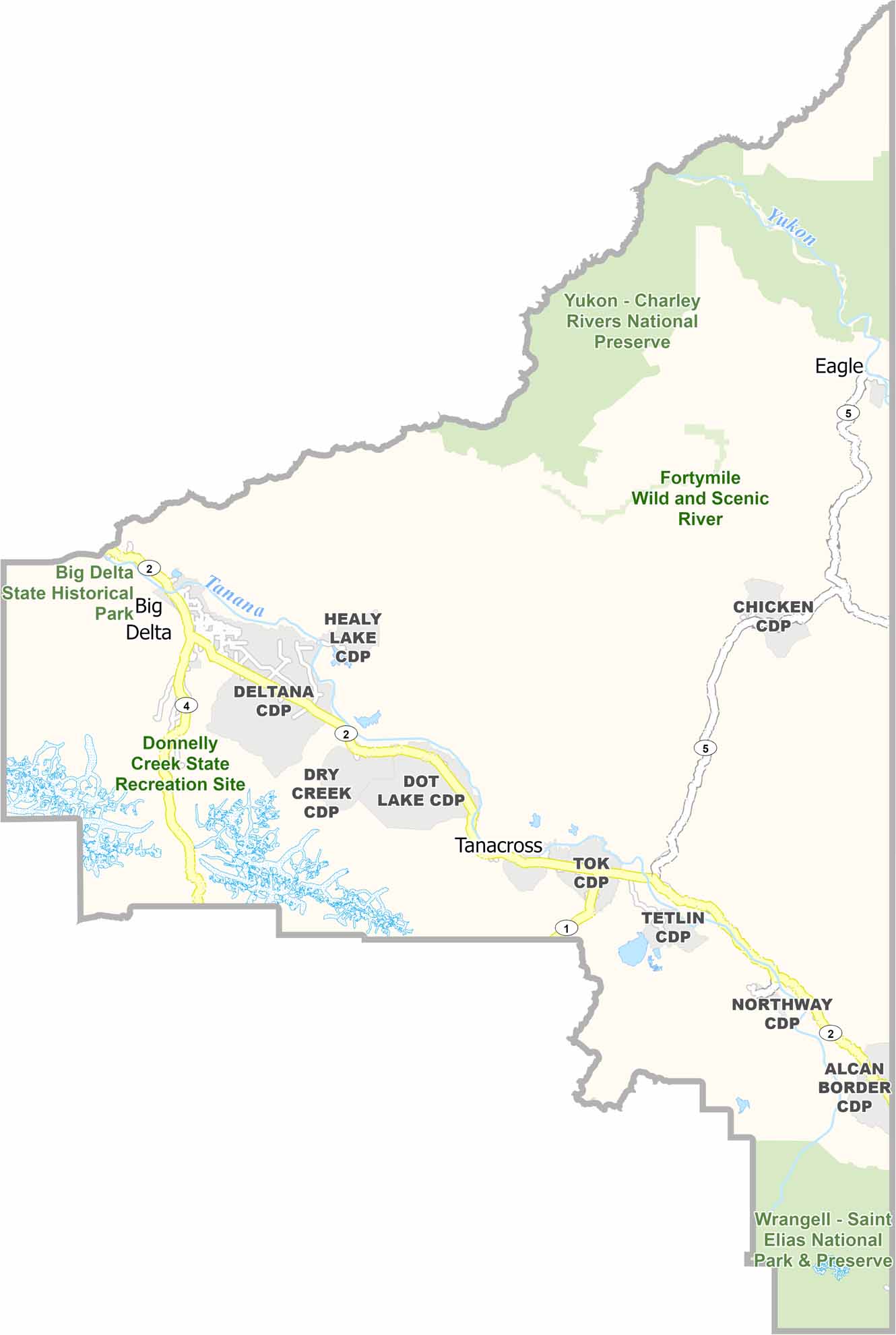
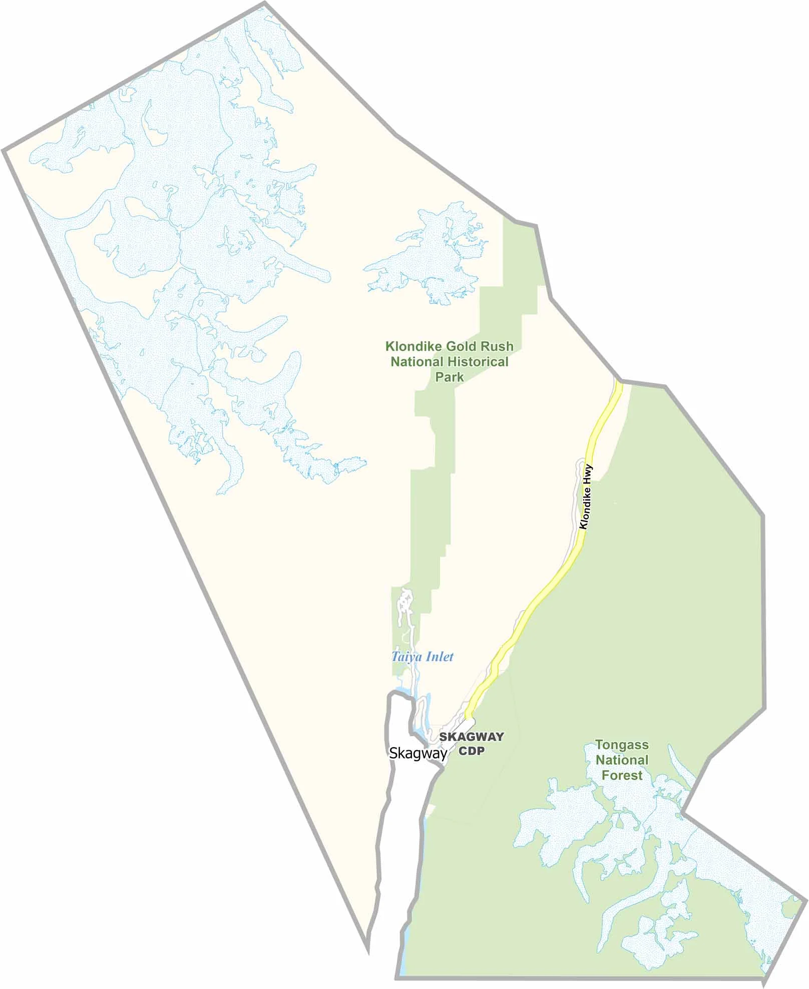
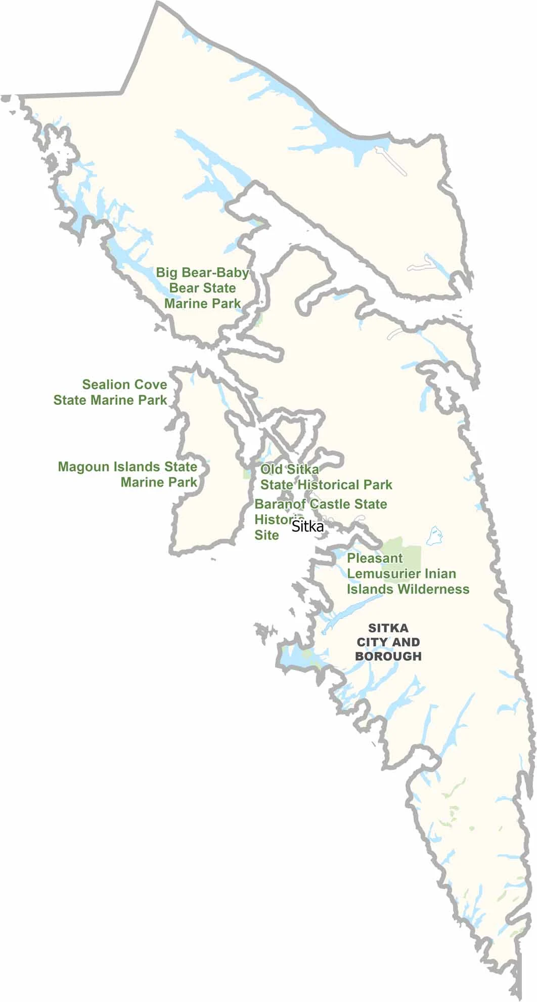
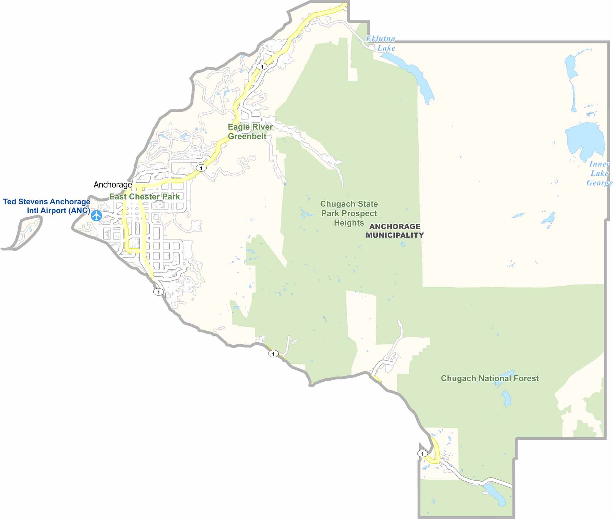


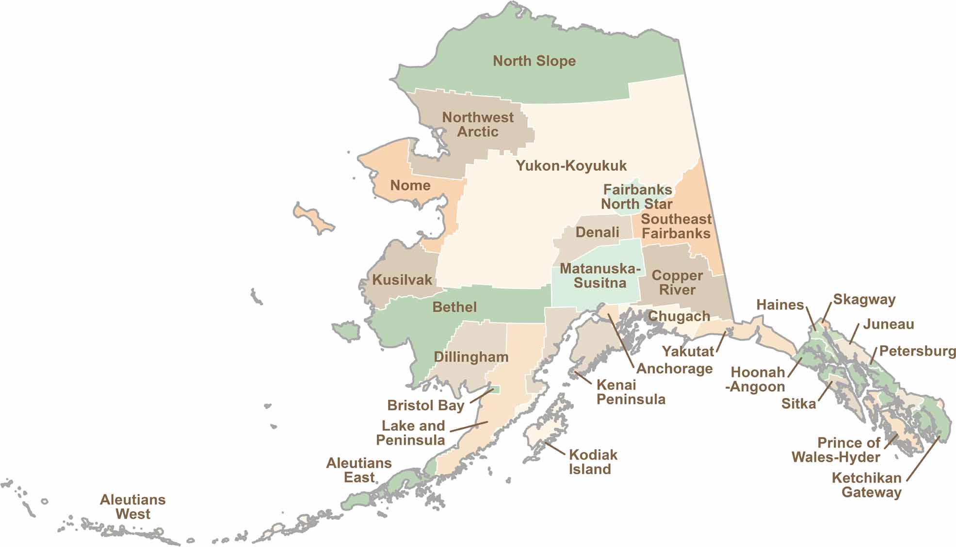
Explore Alaska’s boroughs and census areas with this detailed map, showcasing the state’s vast wilderness, rugged coastlines, and remote communities. Our Alaska Borough Map offers a clear view of the Last Frontier, highlighting its diverse landscapes and hard-to-reach regions.