
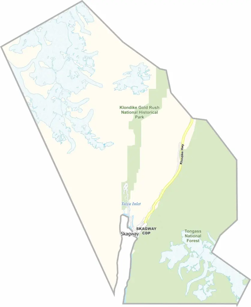
Skagway Municipality is a small region located in Southeast Alaska and is well known for its important role in the Klondike Gold Rush. Only about 1,000 people live here throughout the year, but the population increases significantly during summer due to tourists and seasonal workers.
The town of Skagway is the main settlement in the municipality. It still resembles the town of the 1890s, with many historic wooden buildings. Tourism is now the largest industry, and numerous cruise ships stop in Skagway each year. The White Pass and Yukon Route railroad is also one of the area's most popular attractions.
Skagway is surrounded by steep mountains and fjords. Covering only 434 square miles, it is one of the smallest boroughs in Alaska. Unlike many parts of Southeast Alaska, Skagway can be reached by road from Canada. Despite its small size, the town has a busy and active summer season with plenty of activities. The area also offers hiking trails and beautiful natural scenery. Winters are much quieter, with many businesses remaining closed.
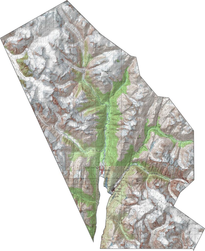
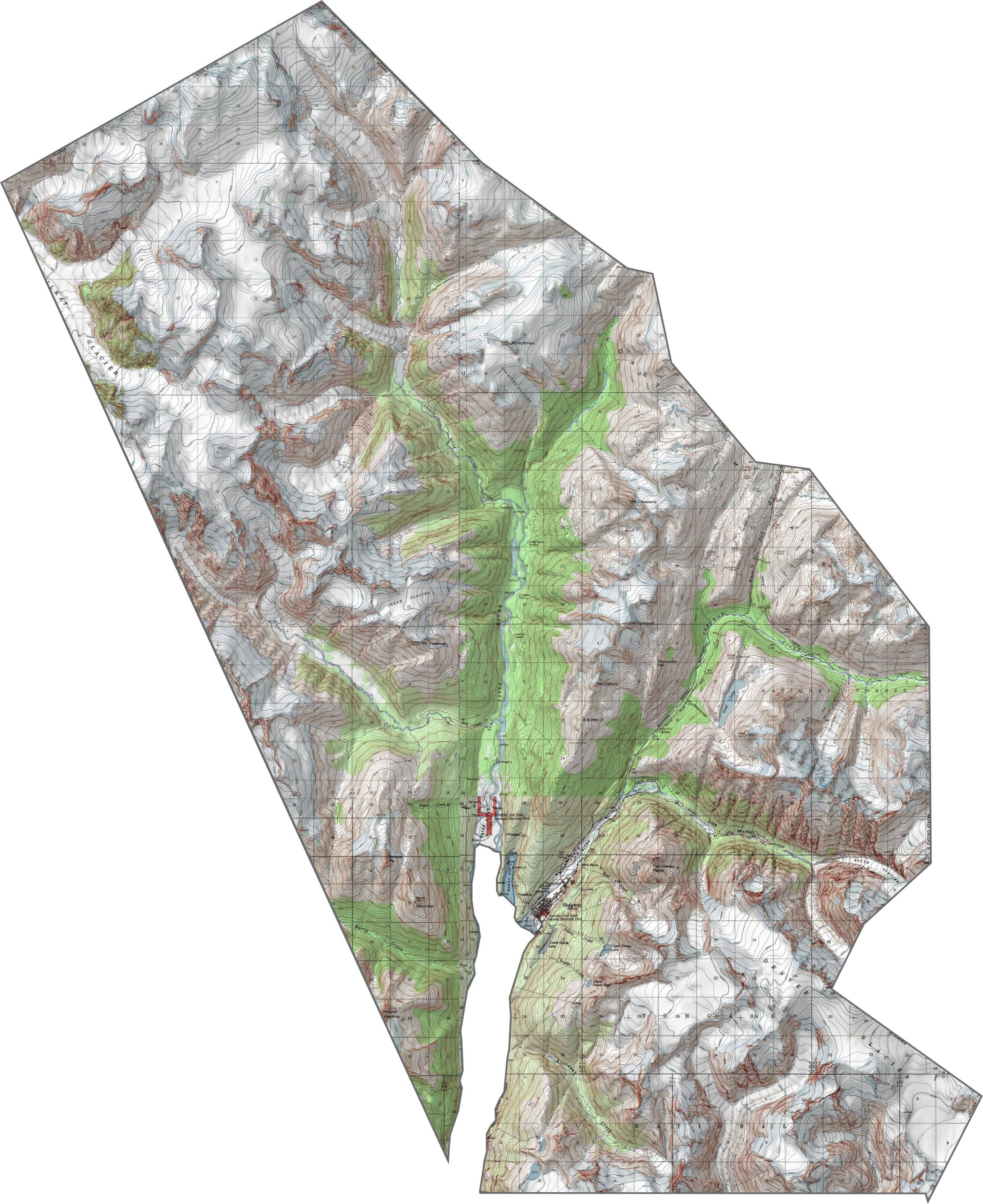
This topographic map highlights Skagway’s dramatic mountain valley setting. The elevation lines show the steep mountain walls surrounding the historic town and harbor below.
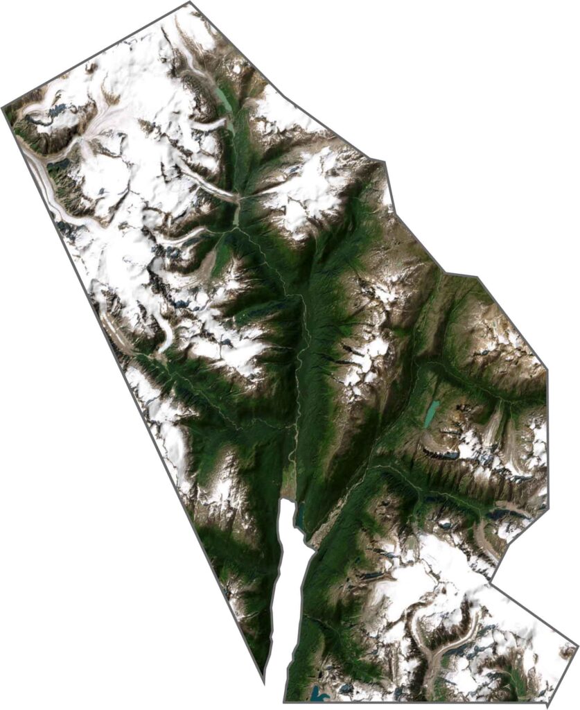
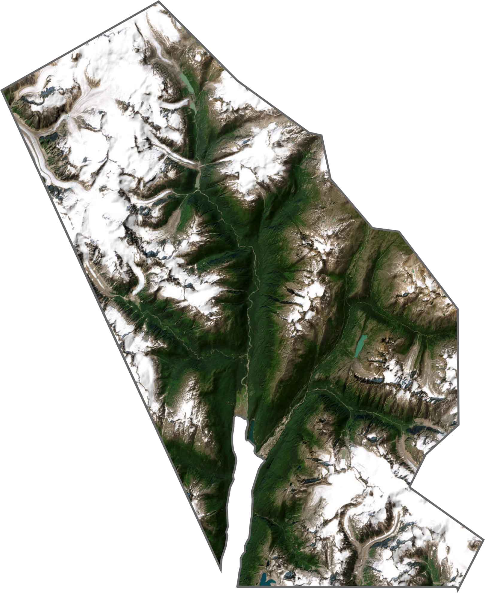
This satellite map shows historic Skagway, a small developed area surrounded by steep mountain valleys. The town’s location reflects its importance during the Klondike Gold Rush.
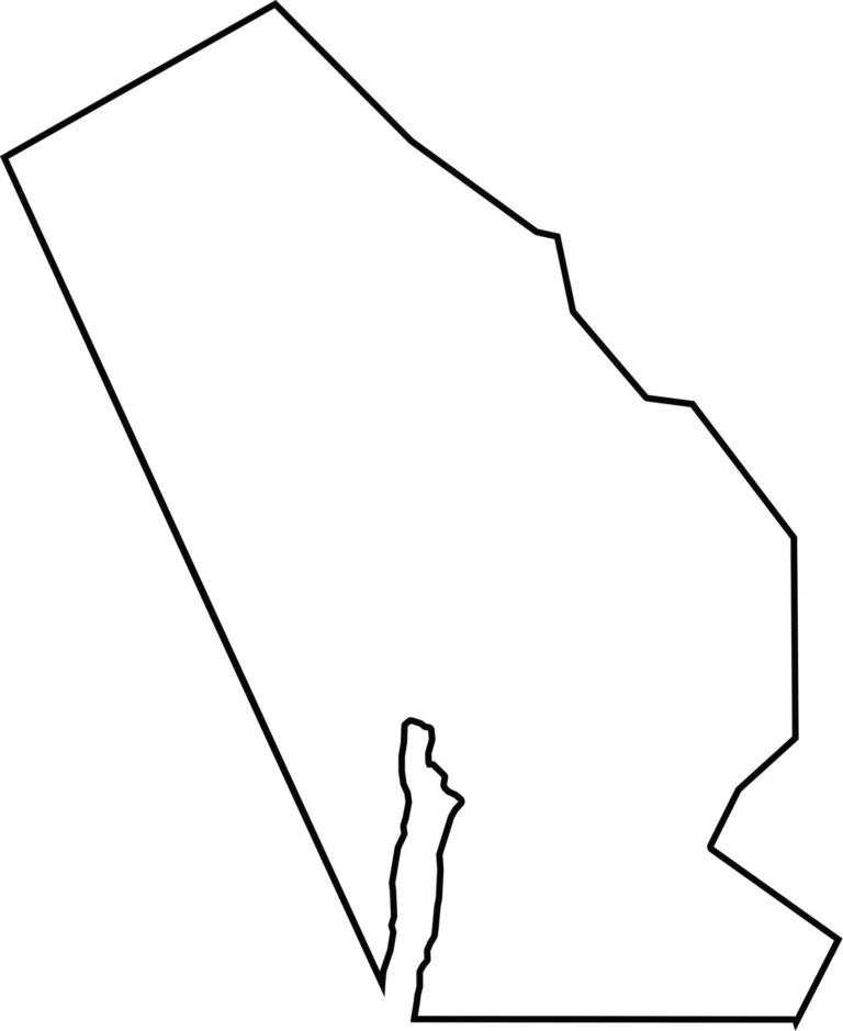
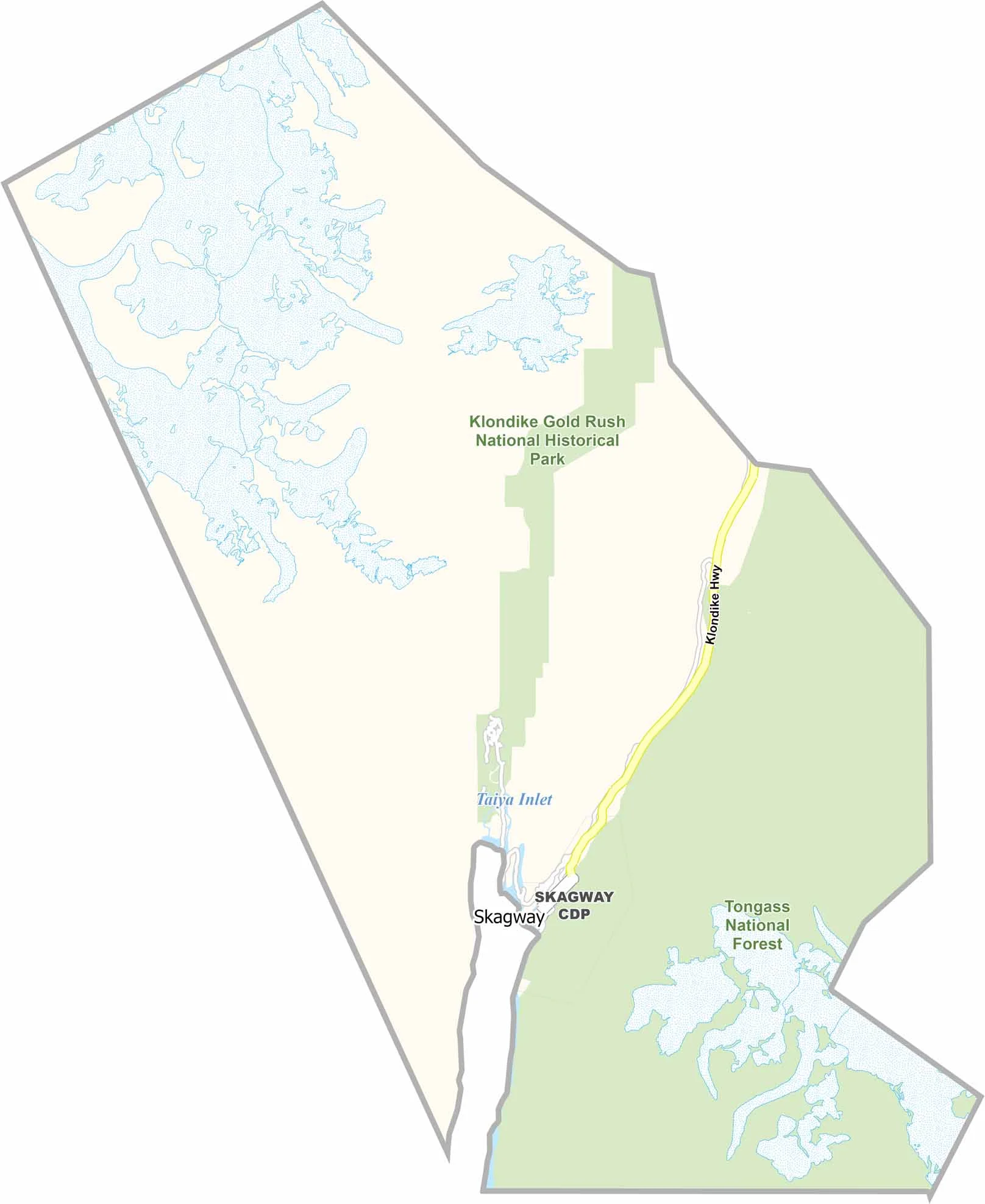
This blank map outlines the Municipality of Skagway’s narrow, elongated shape along the historic valley corridor. Its strategic location helped make Skagway an important gateway during the Gold Rush.


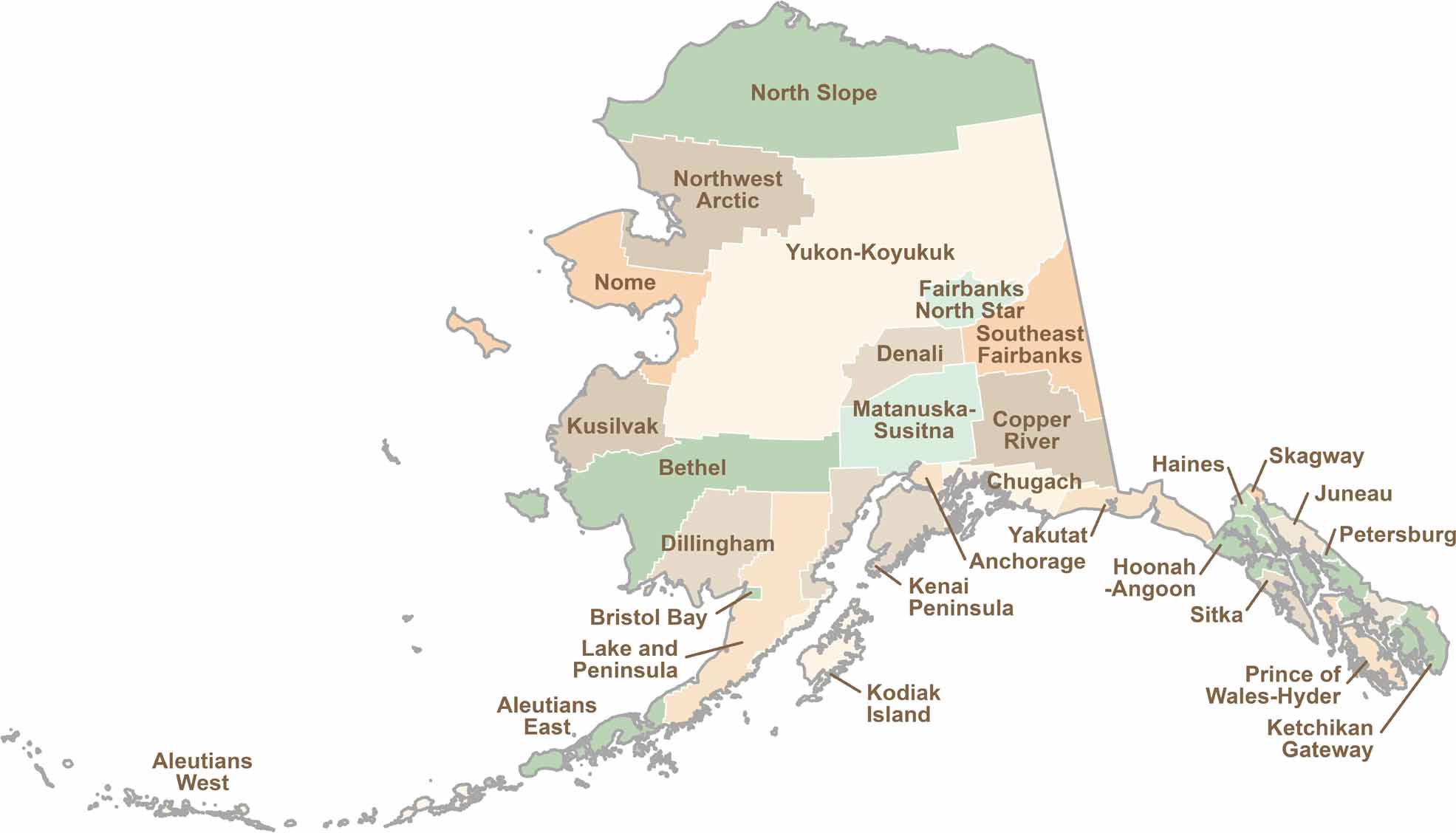
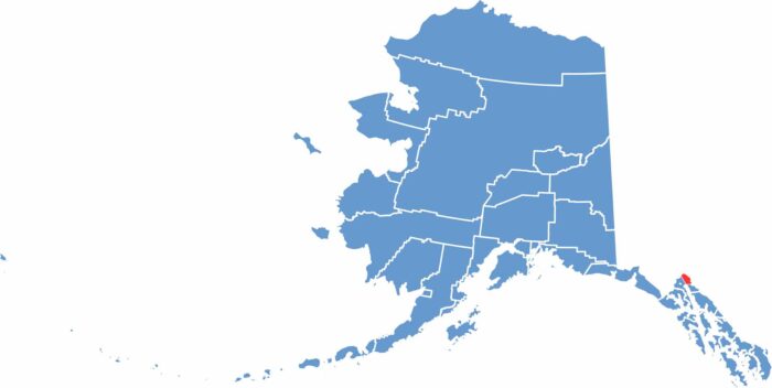
Explore Alaska’s boroughs and census areas with this detailed map, showcasing the state’s vast wilderness, rugged coastlines, and remote communities. Our Alaska Borough Map offers a clear view of the Last Frontier, highlighting its diverse landscapes and hard-to-reach regions.