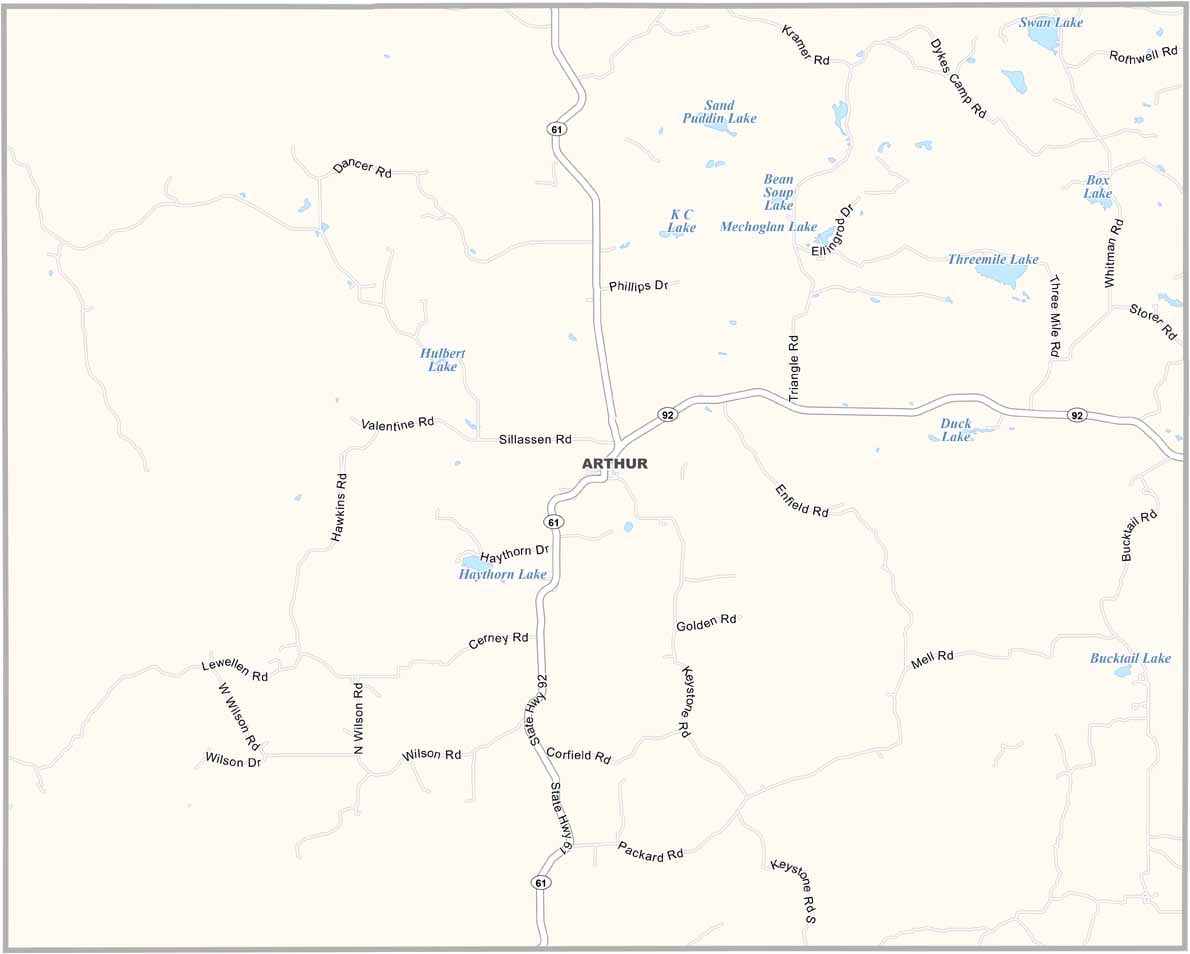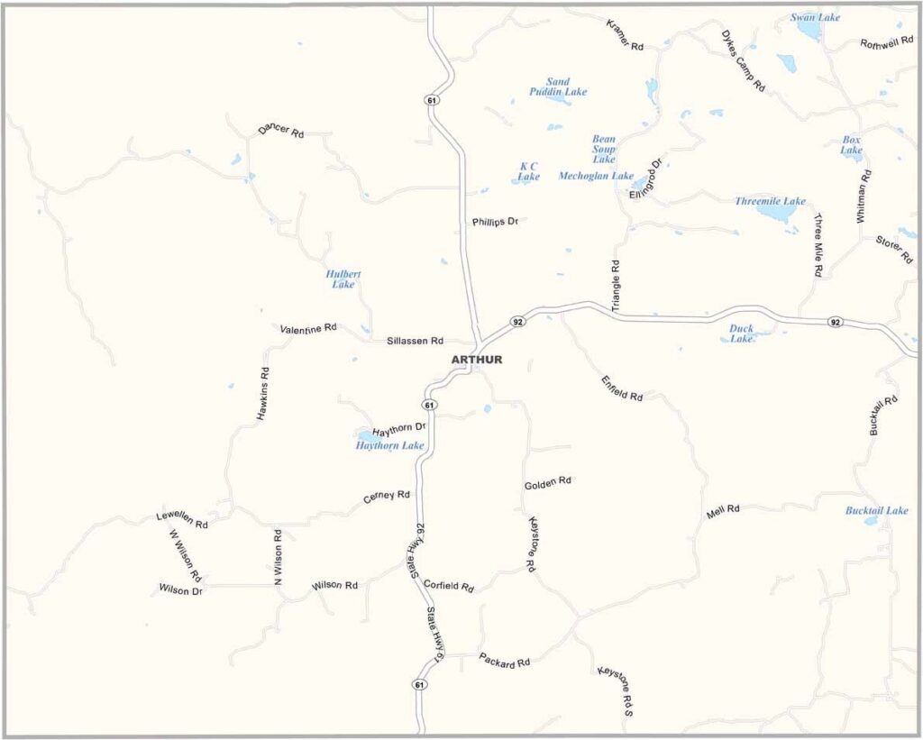
Arthur County Map, Nebraska

Arthur County, Nebraska

Arthur County sits right in the middle of the Nebraska Sandhills in western Nebraska, and it's about as rural as it gets. It's the second least populous county in the state.

Don't let that fool you, though, because there's still plenty to see and do. The scenery is something else, with rolling hills covered in prairie grass. Ranching is the name of the game here, and if you want to see real cowboys, this is the place.

Arthur, the county seat, is tiny but friendly. Fishing and hunting are popular pastimes, and the night sky out here is incredible for stargazing, with almost no lights at all. Just watch out for rattlesnakes!
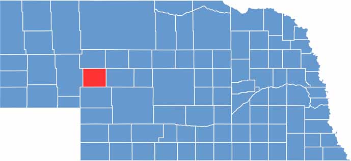

Arthur County location map of Nebraska
CategoryDetails
County NameArthur County
County SeatArthur
EtymologyNamed after President Chester A. Arthur
Cities, Towns, and CommunitiesArthur, Bingham
Interstates and HighwaysNE 61, NE 92
FIPS Code31-005
Total Area (Land and Water)718 square miles (Land: 715 sq mi, Water: 3 sq mi)
Adjacent Counties (and Direction)Grant County (North), Hooker County (Northeast), McPherson County (East), Keith County (South), Garden County (West)
Time ZoneMountain Time Zone (MT)
StateNebraska
Coordinates41.5725° N, 101.6929° W
Major LandmarksArthur County Courthouse and Jail (National Historic Landmark), Sandhills, Crescent Lake National Wildlife Refuge
PopulationApproximately 460
Scroll to Top