
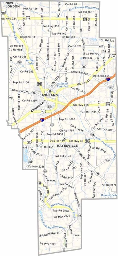
Ashland County Map, Ohio

Ashland County, Ohio

Ashland County is in the heart of north-central Ohio. It’s a place that blends small-town charm with modern living. Ashland University is here, founded back in 1878.

The rolling countryside is filled with Amish farms and quaint villages. Mohican State Park is situated in the southern part of the county. It’s an outdoor adventure spot where you can canoe, hike, or just soak in the natural beauty.

The county’s history is on display in its well-preserved downtown areas. Friendly faces greet you wherever you go. It’s the kind of place that has a perfect balance between progress and tradition.
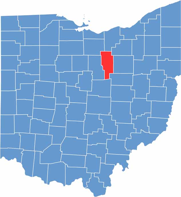

Ashland County location map of Ohio
CategoryDetails
County NameAshland County
County SeatAshland
PopulationApproximately 55,000
Cities, Towns, and CommunitiesAshland, Loudonville, Jeromesville, Polk
Interstates and HighwaysU.S. Highway 250, State Route 60, State Route 89
FIPS Code39-005
Total Area427 square miles (land and water)
Adjacent CountiesLorain County (North), Medina County (Northeast), Wayne County (East), Holmes County (Southeast), Knox County (Southwest), Richland County (West), Huron County (Northwest)
Time ZoneEastern Time Zone
StateOhio
Coordinates40.8671° N, 82.3180° W
EtymologyNamed after Ashland, home of U.S. Senator from Kentucky Henry Clay
Major LandmarksMohican State Park, Ashland Historical Society Museum
Scroll to Top




