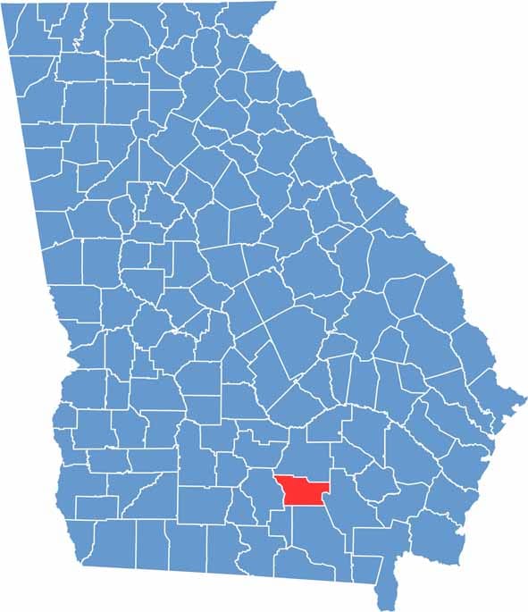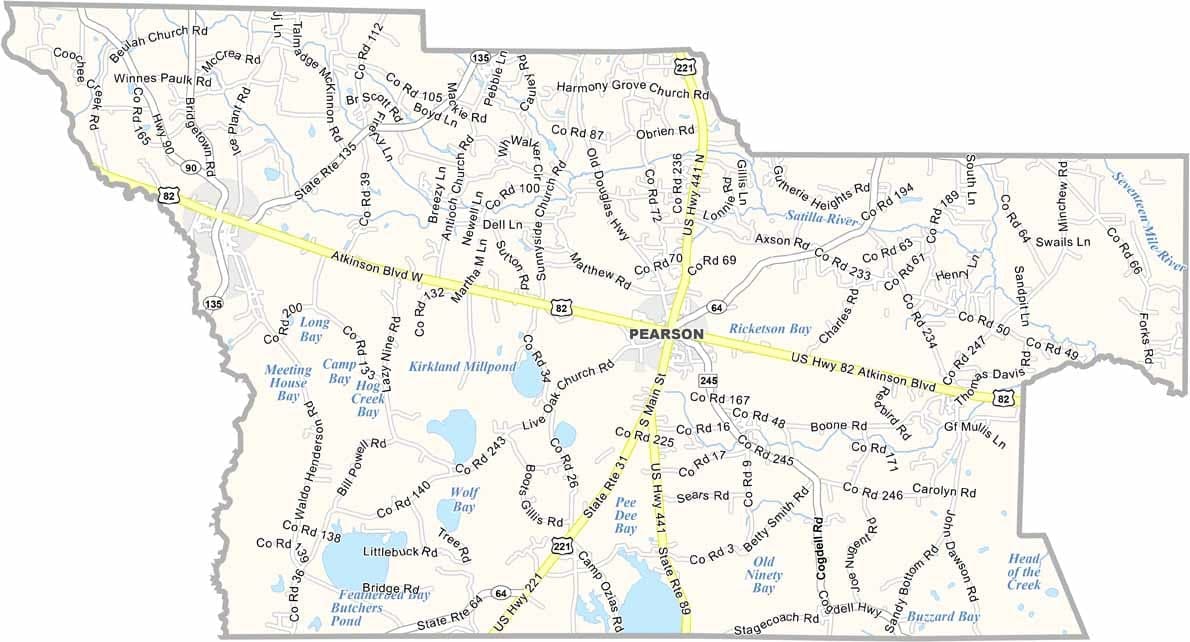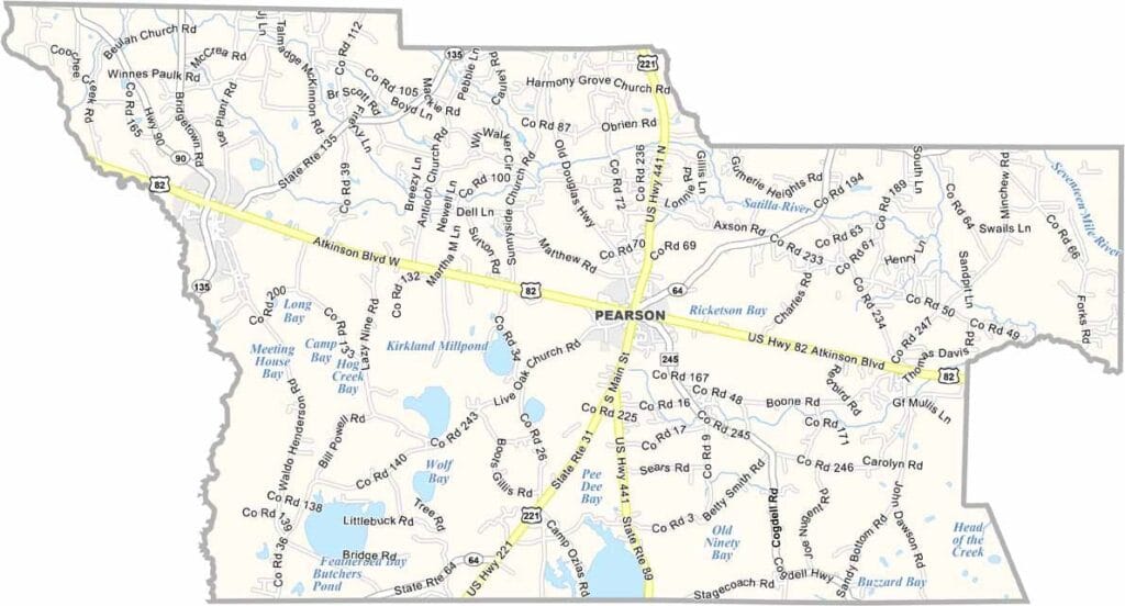
Atkinson County is a quiet rural community located in southern Georgia, just north of the Florida border within the state's coastal plain region. The county seat, Pearson, is a small town of around 2,000 residents and serves as the center of local life.
Agriculture plays a major role in the county’s economy, with tobacco farming and extensive pine forests shaping much of the landscape. Atkinson County was named in honor of William Y. Atkinson, a former governor of Georgia.
Along the county’s western boundary, the Alapaha River adds natural beauty and provides opportunities for outdoor recreation. Known for its small-town atmosphere, Atkinson County takes pride in its farming heritage. Hunting and fishing are favorite activities among residents, reflecting the area’s strong connection to the land and the outdoors.