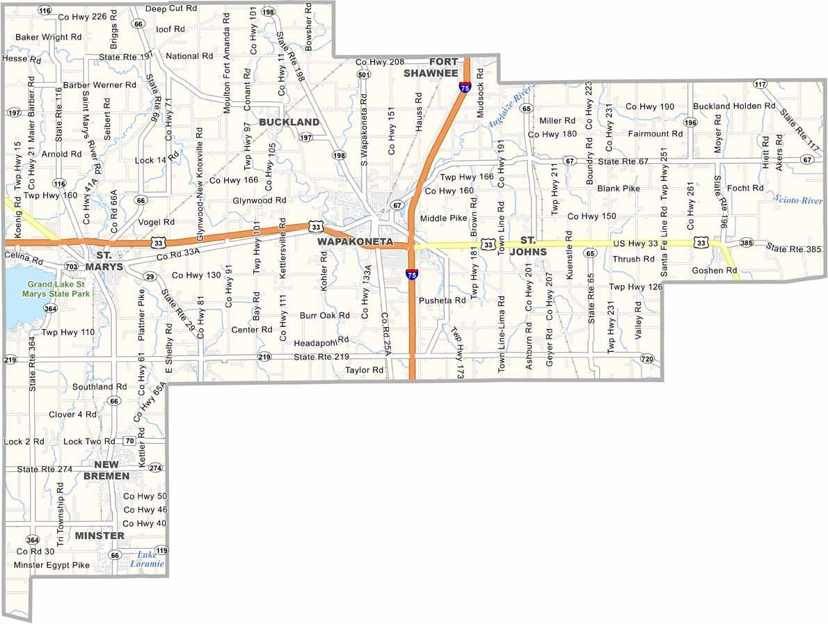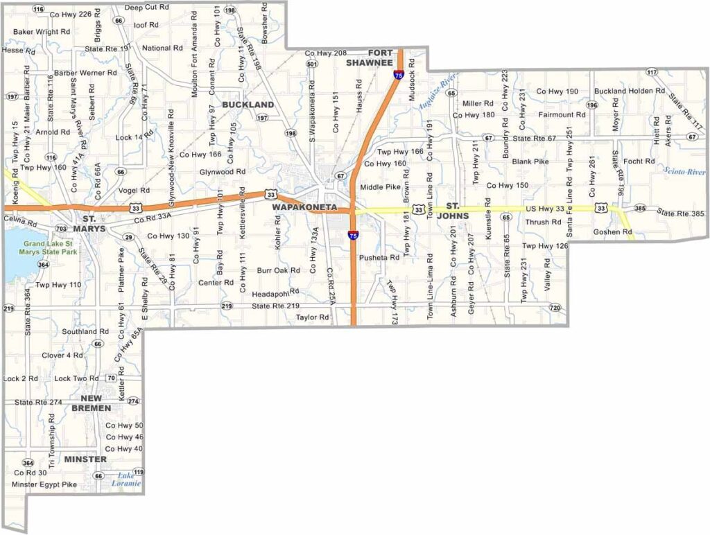
Auglaize County Map, Ohio

Auglaize County map of Ohio

Auglaize County, Ohio

Auglaize County sits in western Ohio, just north of Dayton. Wapakoneta, the county seat, is famous as the birthplace of Neil Armstrong. Here you can visit his childhood home and the Armstrong Air & Space Museum.

Agriculture drives the local economy, so expect cornfields stretching to the horizon. The county has a strong German heritage, which shows in the local food and festivals. Small towns like Minster and New Bremen are full of character.

Grand Lake St. Marys lies along the western edge of the county, making it perfect for recreational fun. The people here are hardworking and proud of their community. Auglaize County is a slice of classic Midwest America.
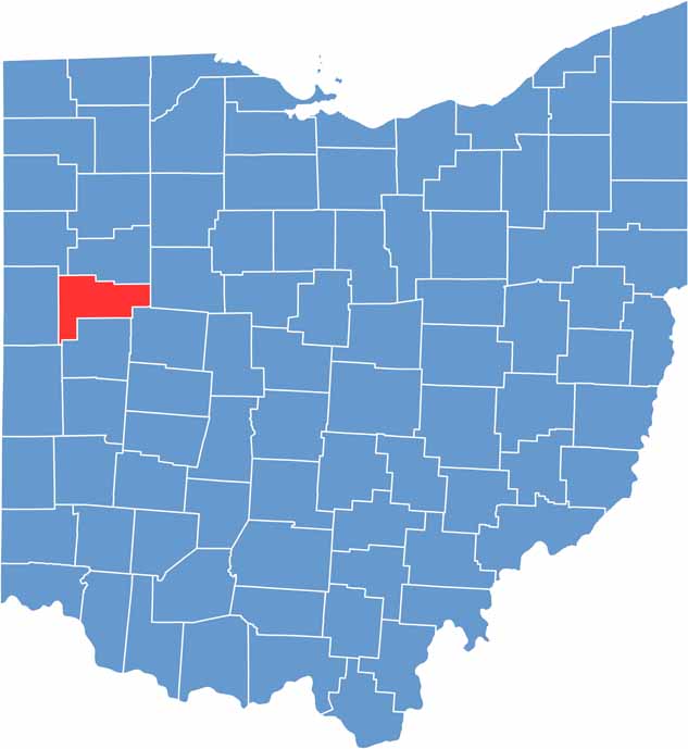

Auglaize County location map of Ohio
CategoryDetails
County NameAuglaize County
County SeatWapakoneta
EtymologyNamed after Auglaize River, which means “fallen timbers river” in the Shawnee Indian language
Cities, Towns, and CommunitiesWapakoneta, St. Marys, New Bremen, Minster
Interstates and HighwaysInterstate 75, U.S. Highway 33, State Route 66
FIPS Code39-011
Total Area406 square miles (land and water)
Adjacent CountiesAllen County (North), Hardin County (East), Logan County (Southeast), Shelby County (South), Mercer County (West), Van Wert County (Northwest)
Time ZoneEastern Time Zone
StateOhio
Coordinates40.5630° N, 84.1975° W
Major LandmarksWapakoneta Historical Society Museum, Grand Lake St. Marys State Park
PopulationApproximately 46,000
Scroll to Top