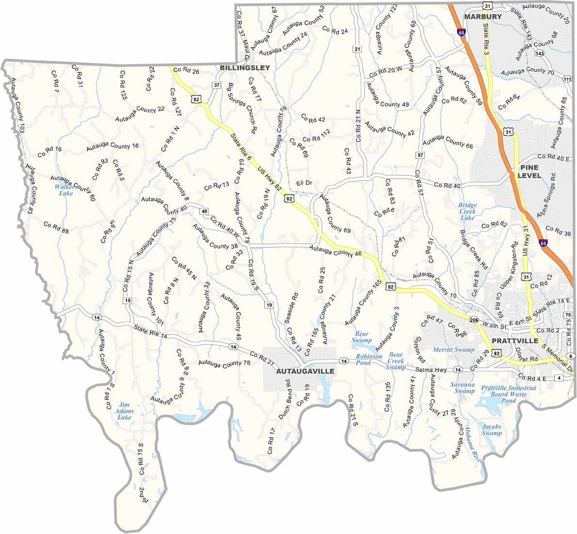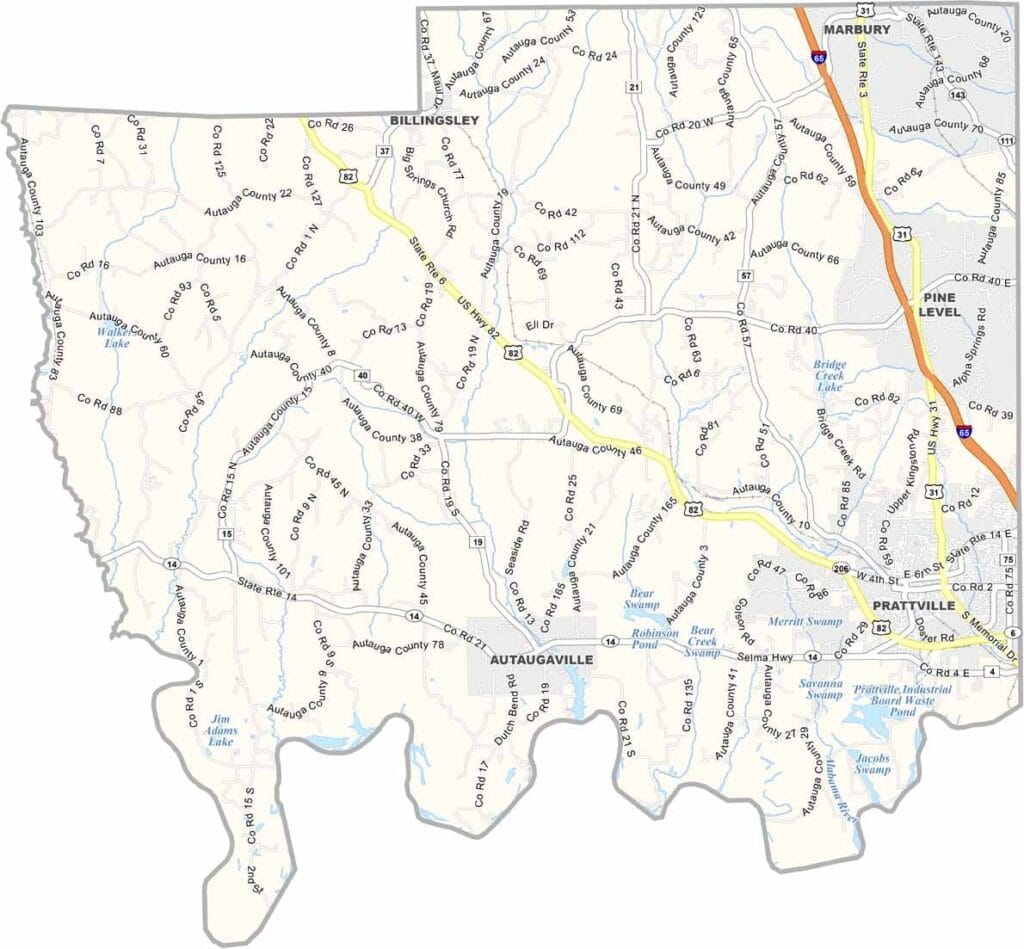
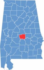
Autauga County is located in central Alabama, just northwest of Montgomery. Its largest city, Prattville, is often called “The Fountain City” because of its abundance of artesian wells.
The county derives its name from Autauga Creek, which runs through the area and is a popular destination for bass fishing, canoeing, and kayaking. During the 19th century, industrialist Daniel Pratt established one of the nation’s largest cotton gin manufacturing facilities here, playing a major role in the county’s growth.
Today, Autauga County is home to approximately 60,000 residents and offers a blend of suburban convenience and rural charm. The area also features a stop on the Robert Trent Jones Golf Trail, making it a popular destination for golf enthusiasts.
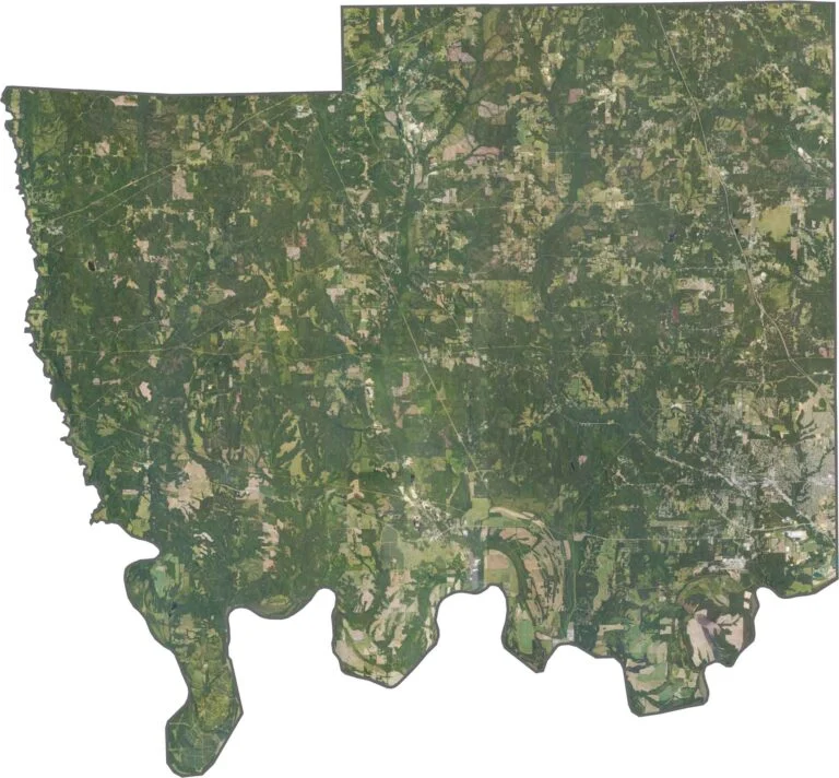
Take a bird’s-eye view of Autauga County with this detailed satellite map. See the county’s towns, expansive forests, winding rivers, and road networks from above, providing a clear perspective of the area’s geography and layout. This aerial view is ideal for exploring the region’s natural landscapes and understanding how its communities are connected.