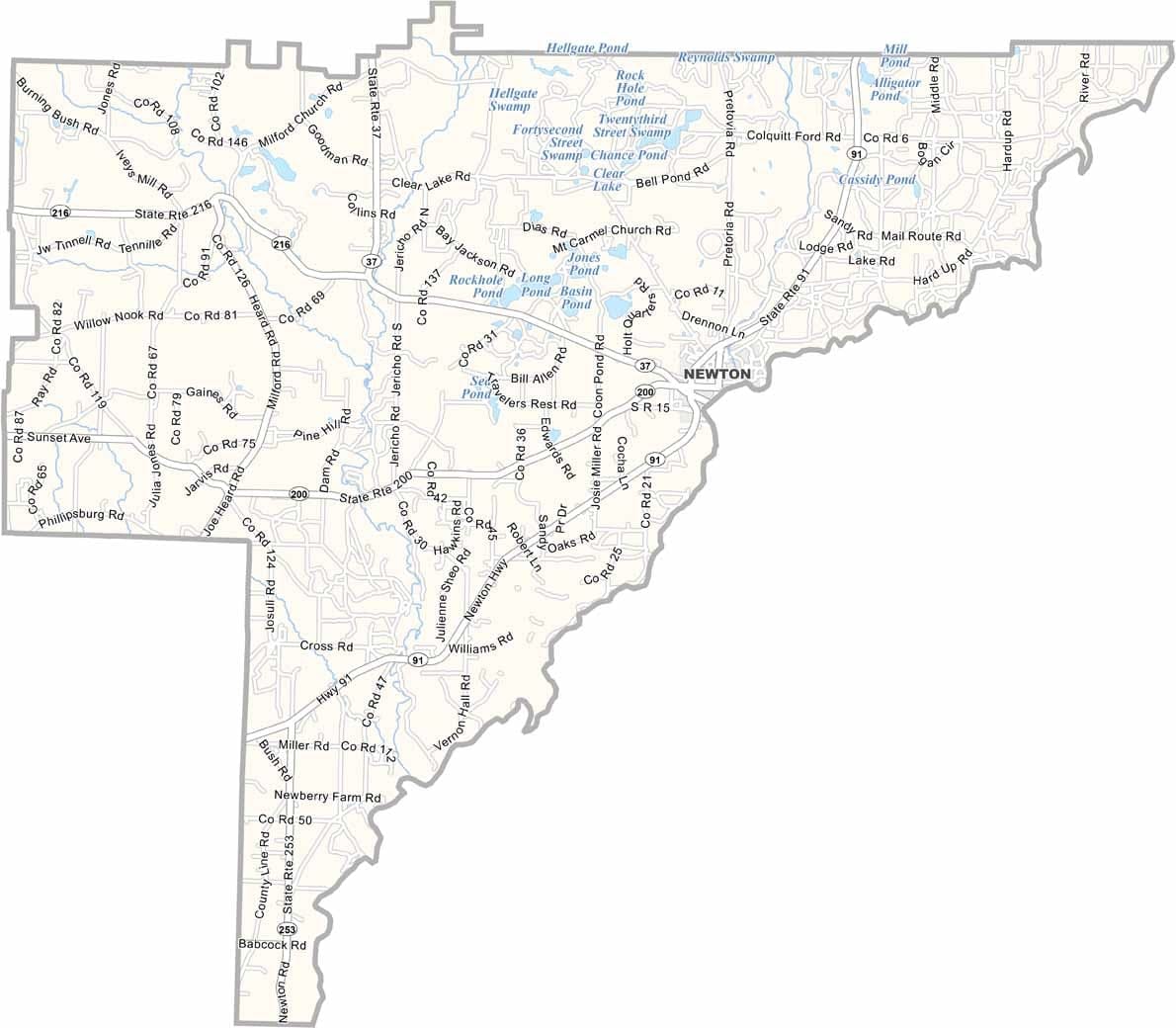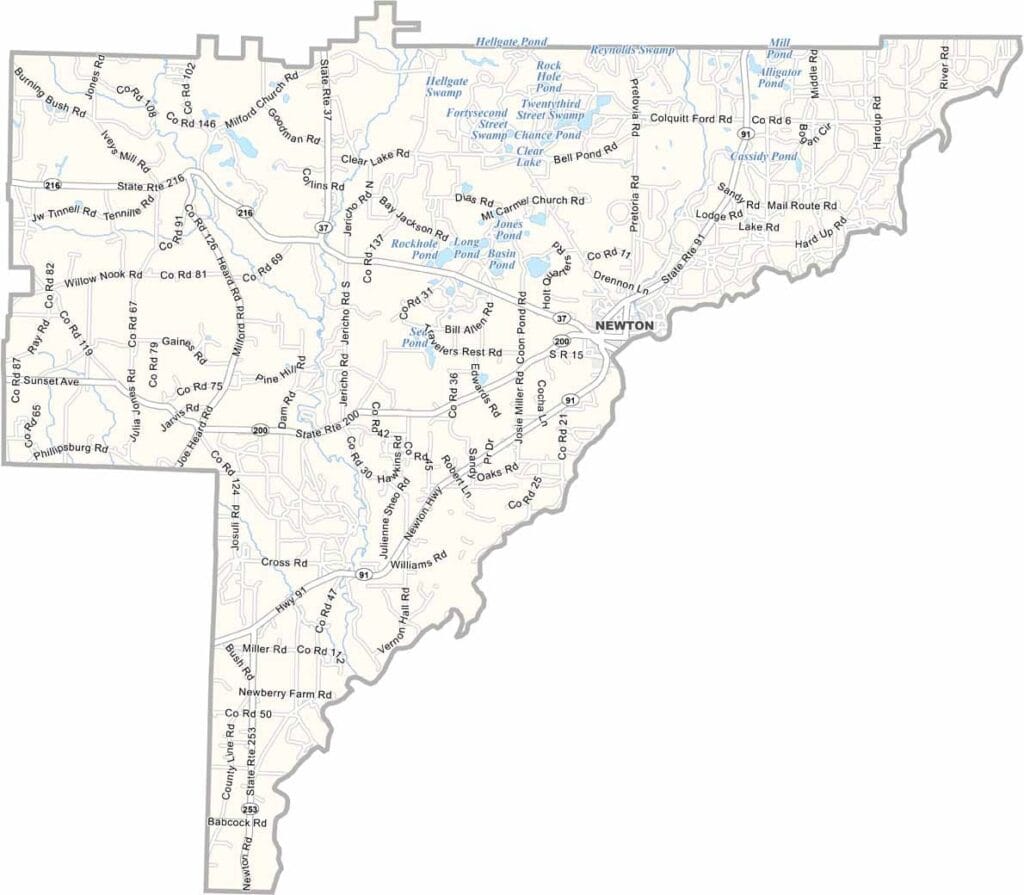
Baker County, Georgia

Tucked away in the southwestern corner of Georgia, Baker County is a small rural community that embraces its quiet way of life. The county seat, Newton, is a modest town that reflects the area’s laid-back character and strong agricultural traditions.

The Flint River forms Baker County’s eastern border, providing scenic views and supporting the region’s natural ecosystems. Agriculture remains the backbone of the local economy, with farmers primarily growing peanuts, cotton, and corn.

Baker County is also known for its abundant wildlife. Deer, wild turkeys, and other native species are commonly found throughout its forests and fields, making hunting and outdoor recreation popular activities.
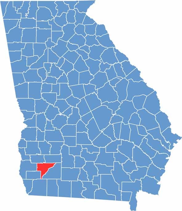

Baker County Location Map Georgia
Category Details
County Name Baker County
County Seat Newton
Cities, Towns, and Communities Newton, Baker County, and the community of Cordele
Interstates and Highways US 82, SR 37, SR 200
Etymology Named after Colonel John Baker, a prominent early settler
FIPS Code 13-007
Total Area (Land and Water) 340 square miles (land: 339 sq mi, water: 1 sq mi)
Time Zone Eastern Time Zone (ET)
State Georgia
Coordinates 31.5075° N, 84.3150° W
Major Landmarks Baker County Courthouse, Baker County Museum, Newton City Park
Adjacent Counties (and Direction) Dougherty County (Northeast), Mitchell County (East), Decatur County (Southwest), Early County (West), Miller County (West), Calhoun County (Northwest)
Population Approximately 3,500
Scroll to Top