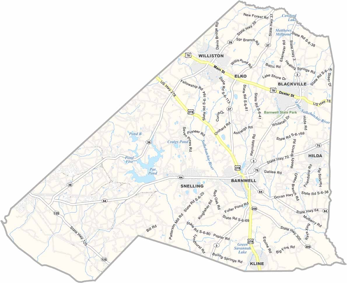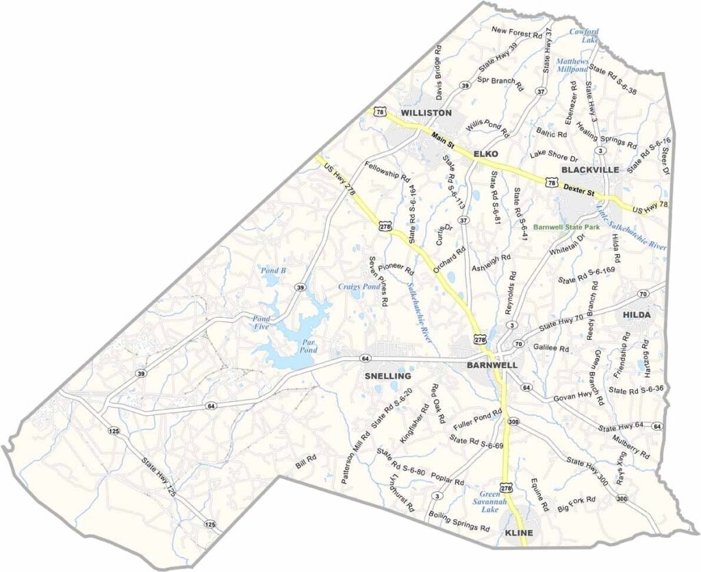
Barnwell County Map, South Carolina

Barnwell County, South Carolina

Barnwell County sits in the southwestern part of South Carolina, bordering Georgia. It’s a place with deep roots and a slower pace of life. The county is known for its peanut farms and small-town charm.

Williston is the biggest town, while Barnwell is the county seat. You’ll find a mix of history and rural living here. The Edisto River forms the county’s eastern border.

Outdoorsy types enjoy the fishing and hunting opportunities. It’s not a tourist hotspot, but that’s part of its appeal. The people are friendly, and the tea is always sweet. Life in Barnwell County feels like a throwback to simpler times.
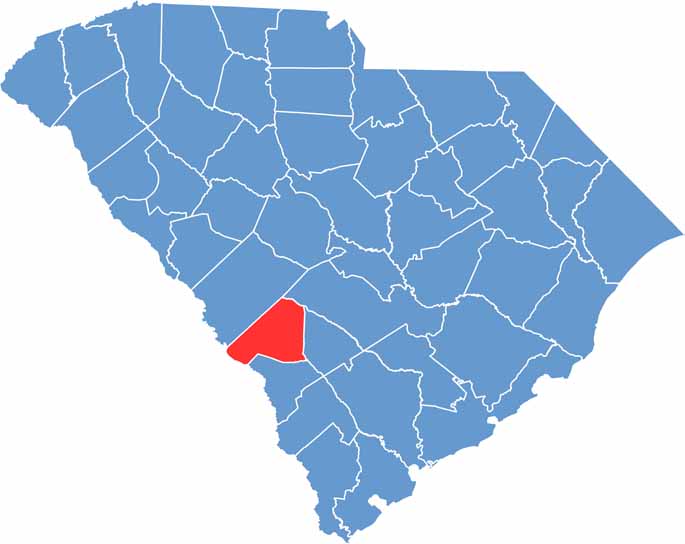

Barnwell County location map of South Carolina
CategoryDetails
County NameBarnwell County
County SeatBarnwell
PopulationApproximately 20,000
Cities, Towns, and CommunitiesBarnwell, Blackville, Williston, Elko
Interstates and HighwaysU.S. Highway 278, U.S. Highway 78, State Highway 3
FIPS Code45-011
Total Area (Land and Water)557 square miles (548 sq mi land, 9 sq mi water)
Adjacent Counties (and Direction)Aiken County (North), Bamberg County (East), Orangeburg County (East), Allendale County (Southeast), Burke County, Georgia (Southwest)
Time ZoneEastern Time Zone (EST)
StateSouth Carolina
Coordinates33°14’N, 81°21’W
EtymologyNamed after John Barnwell, a South Carolina State Senator
Major LandmarksBarnwell State Park, Healing Springs, Barnwell County Courthouse
Scroll to Top