
Bay County is located along Saginaw Bay in Michigan’s Thumb region, offering a scenic setting along the Great Lakes. The county has a rich history shaped by the lumber and shipbuilding industries, which played important roles in its development.
The county’s mostly flat landscape is well suited to cycling, with miles of scenic trails winding through the area. Sugar beet farming is also an important part of local agriculture, reflecting the county’s strong connection to farming traditions.
During winter, ice fishing becomes a popular activity on the frozen waters of Saginaw Bay, drawing anglers outdoors despite the cold. Bay City, the county seat, is known for its beautiful Victorian architecture, historic character, and scenic waterfront along the bay and river.
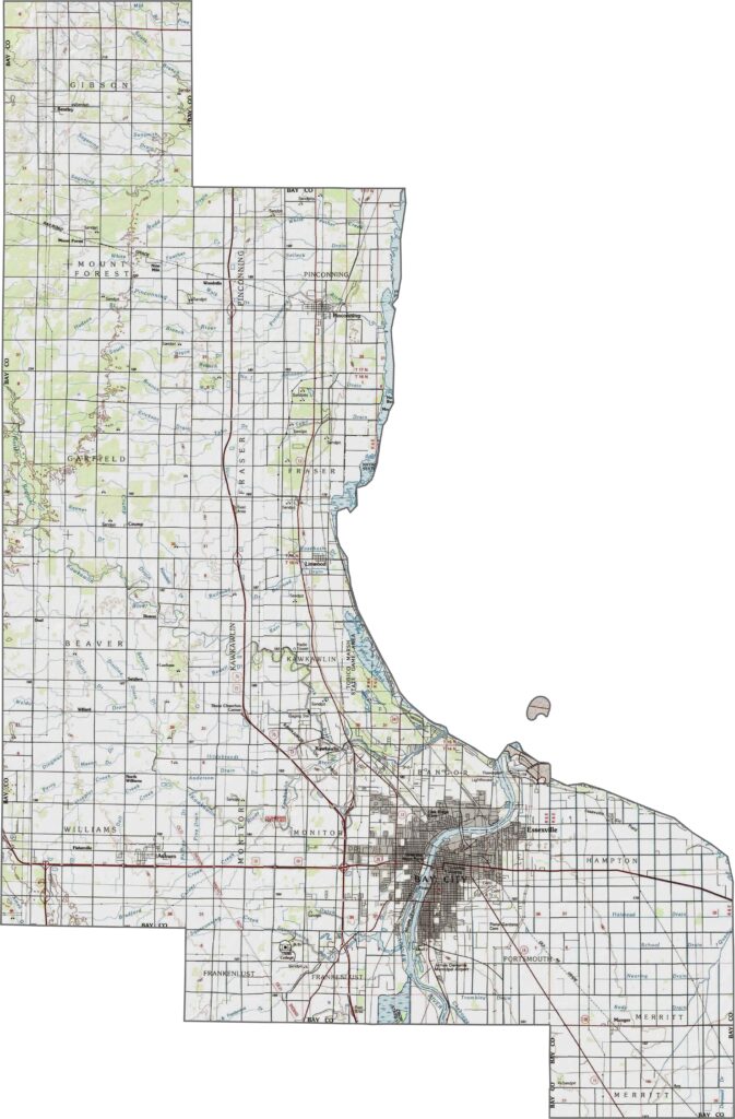
Bay County is characterized by mostly flat terrain, particularly along the shoreline of Saginaw Bay. Small hills appear in scattered areas, but broad stretches of open land cover much of the county. Wetlands along the bay add variety to the landscape and stand out clearly on the map. Use our interactive topographic map and zoom tool to examine the terrain and geographic details more closely.
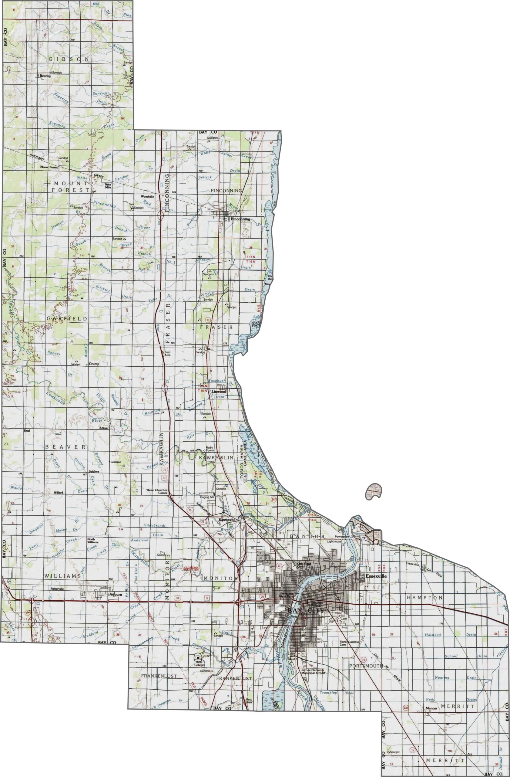
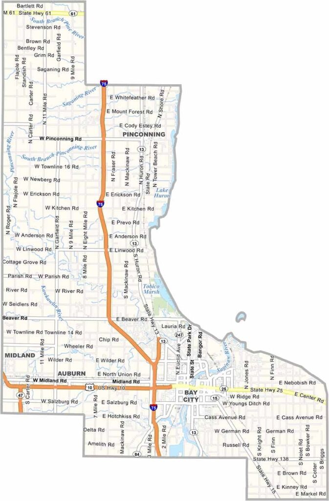
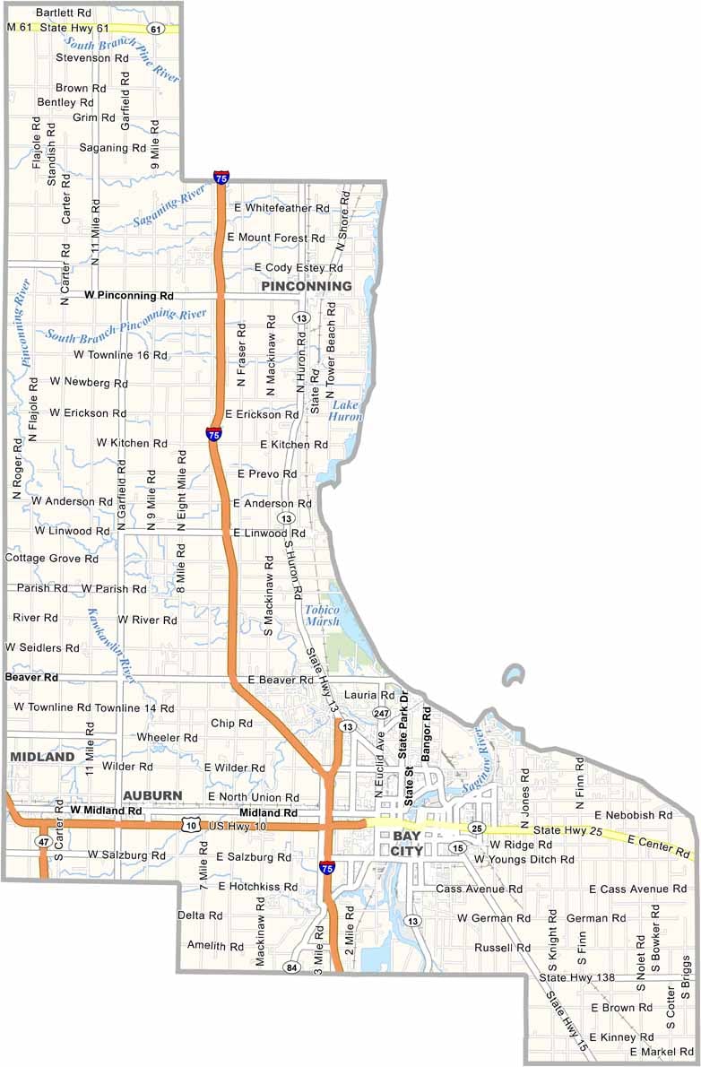
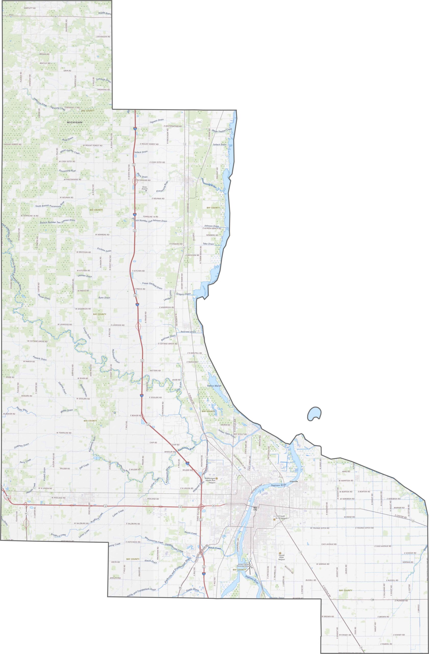
Bay County has a well-connected highway network that provides convenient access throughout the region. Interstate 75 runs north-south through the central part of the county, while U.S. Route 10 reaches the northern area and provides a connection toward Midland. Several roads cross local rivers and waterways, with bridges providing important links across the county.
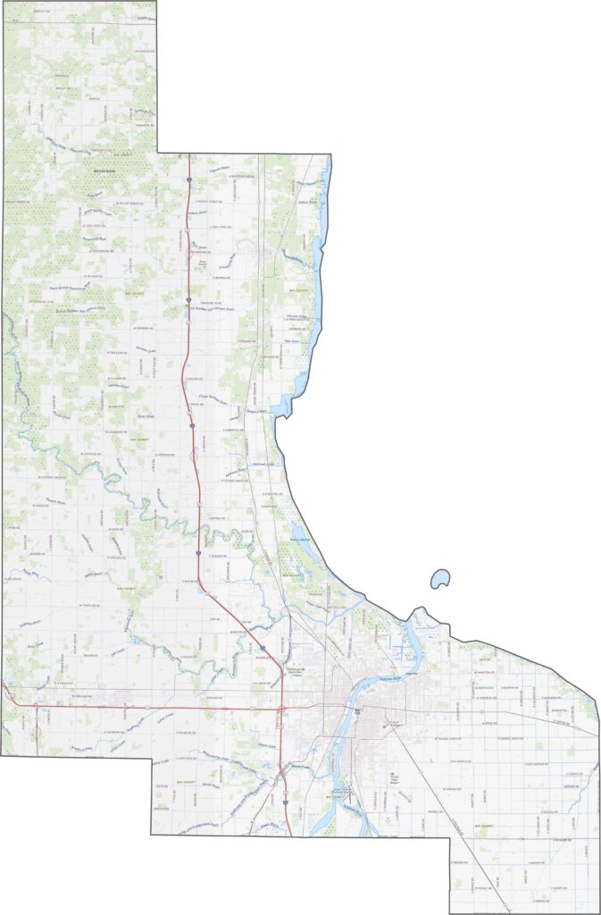
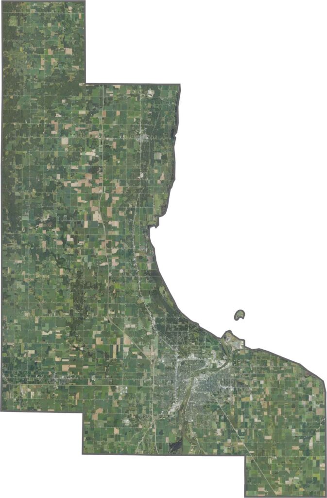
Our Bay County satellite map highlights Saginaw Bay along the eastern side of the county, with marshes and wetlands concentrated near the shoreline. Broad agricultural fields dominate the inland landscape, while developed areas around the county’s cities appear more densely built. Patches of green space and parks provide contrast within the developed areas.
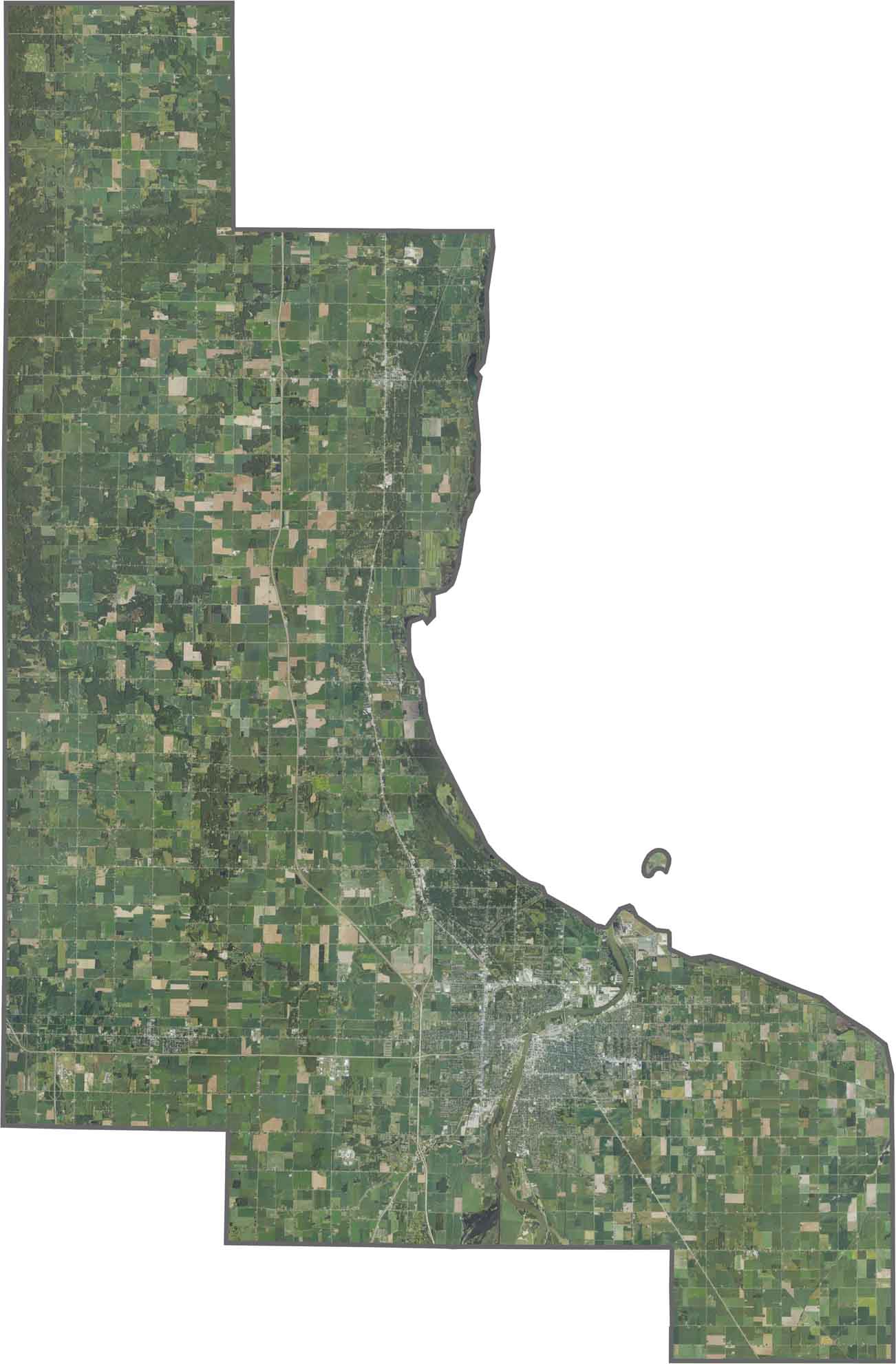
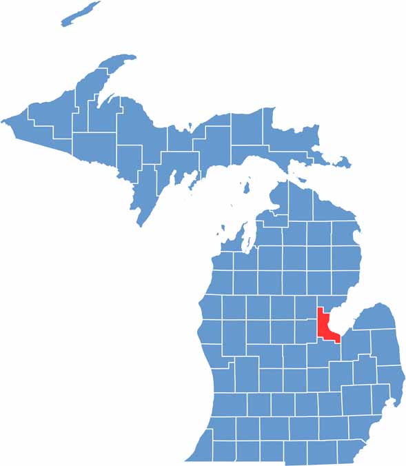
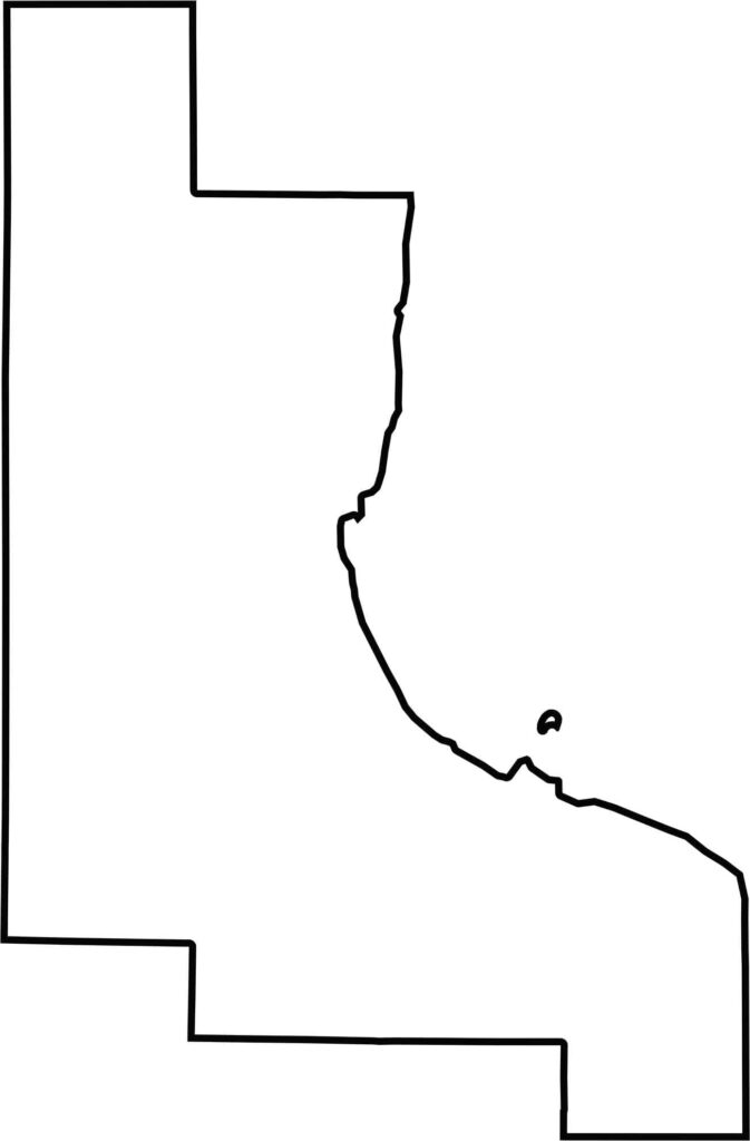
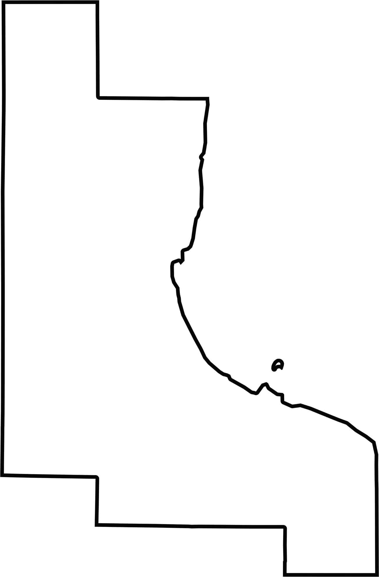
Bay County has a generally compact shape, with relatively straight boundaries across much of its northern and southern edges. The county does not share any state borders, remaining entirely within Michigan. Along the east, the curved shoreline of Saginaw Bay creates a distinctive boundary and gives the county its waterfront character.
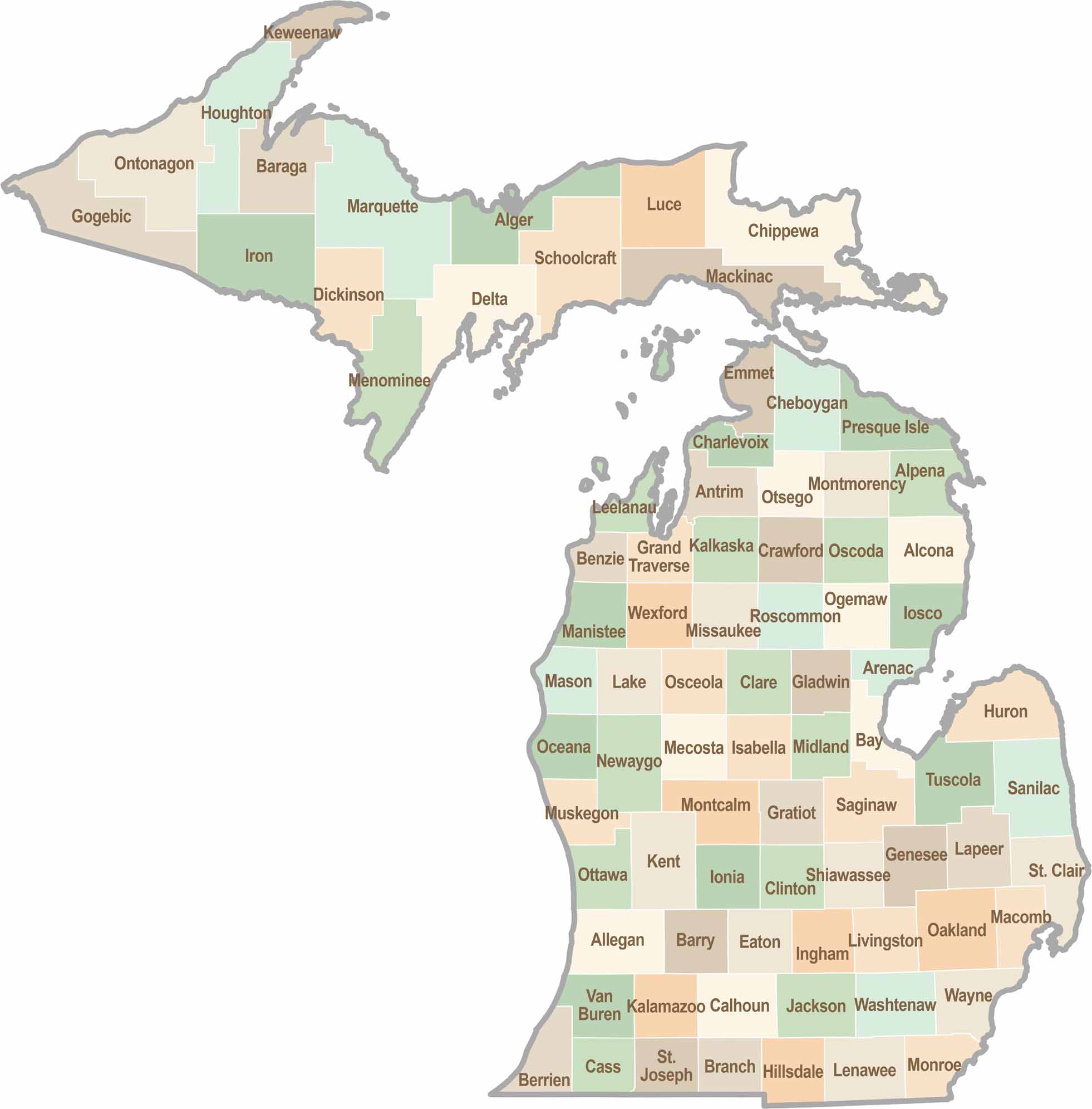
From Motown to moose sightings, Michigan’s 83 counties offer an impressive mix of urban energy, natural beauty, and outdoor adventure. Detroit celebrates its legendary Motown music heritage, while Ann Arbor brings a lively college-town atmosphere shaped by the University of Michigan. From the shores of the Great Lakes to the forests of the Upper Peninsula, the Mitten State delivers a diverse landscape filled with history, culture, and scenic attractions.