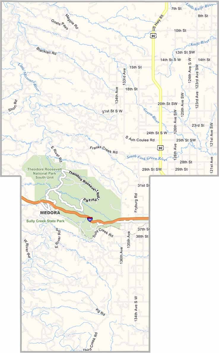
Billings County Map, North Dakota

Billings County, North Dakota

Billings County is where the Badlands begin, in the southwestern part of North Dakota. Theodore Roosevelt National Park's South Unit is the crown jewel here.

Medora, the county seat, is a tourist hotspot that feels like stepping back in time to the Old West. The Burning Hills Amphitheatre hosts the famous Medora Musical each summer.

Ranching is still a way of life in these parts, and you can see bison roaming the grasslands. The Little Missouri River carves through the dramatic landscape, and oil development has brought new prosperity to the area.
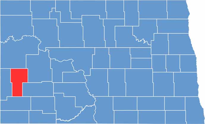
Billings County location map of North Dakota
CategoryDetails
County NameBillings County
County SeatMedora
EtymologyNamed after Frederick H. Billings
Cities, Towns, and CommunitiesMedora, Sentinel Butte, Fryburg
Interstates and HighwaysU.S. Route 10, North Dakota Highway 16
FIPS Code38-007
Total Area (Land and Water)1,232 square miles (land and water)
Adjacent Counties (and Direction)McKenzie County (North), Dunn County (Northeast), Stark County (East), Slope County (South), Golden Valley County (West)
Time ZoneMountain Time Zone
StateNorth Dakota
Coordinates46.7833° N, 103.3472° W
Major LandmarksTheodore Roosevelt National Park, Medora Musical
PopulationApproximately 1,000
Scroll to Top