
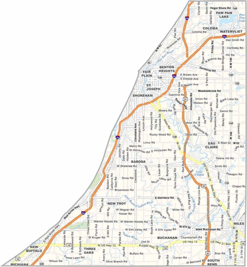
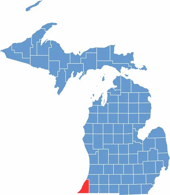
Berrien County is located in the southwestern corner of Michigan, where the waves of Lake Michigan meet fertile farmland. The county shares a direct border with Indiana to the south, giving it a distinctive position within the state.
The county features miles of sandy beaches and dunes, making it a popular destination for summer recreation. Fruit farming is also an important part of the local economy, with orchards producing a variety of crops, including Michigan peaches.
St. Joseph is one of the county’s main communities and is known as the “Riviera of the Midwest” for its scenic shoreline and waterfront character. Local wineries offer tastings surrounded by views of the countryside and lake, while the county’s orchards and farms contribute to its place within Michigan’s celebrated fruit-growing region.
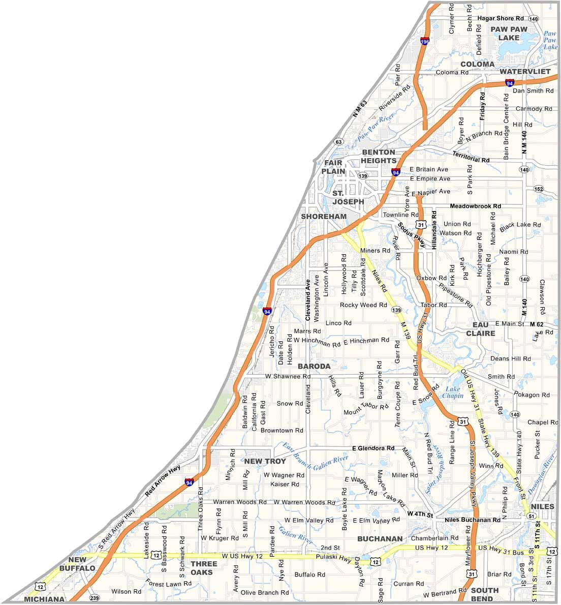
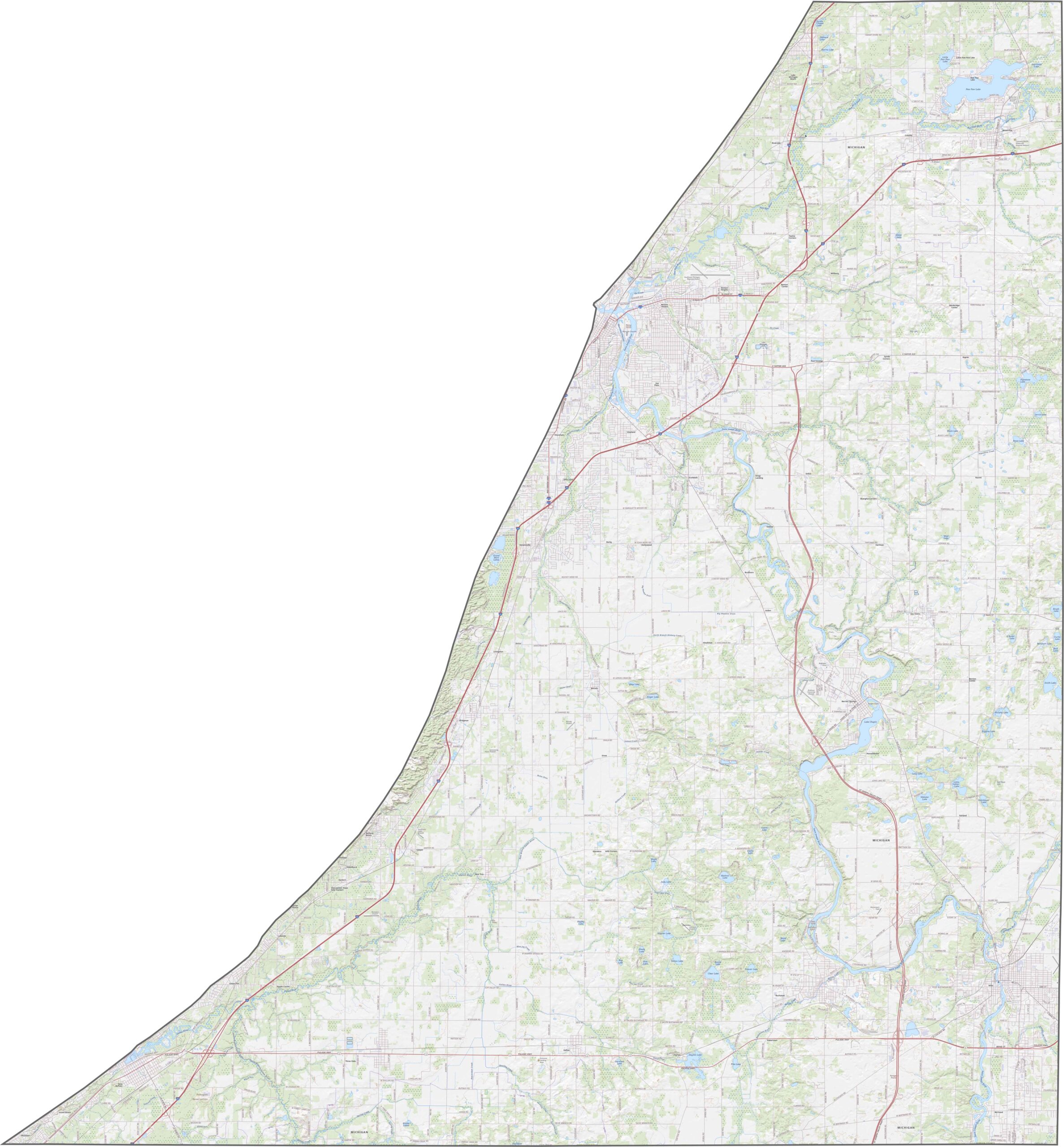
Berrien County has a well-developed network of highways connecting communities across the region. I-94 crosses the northern part of the county, providing an important route between Chicago and Detroit. I-196 also begins in the area before turning north toward Holland. Despite the busy transportation network, the major roads are well connected and easy to follow. Use our road map and zoom tool to explore the county’s highways and local routes in greater detail.
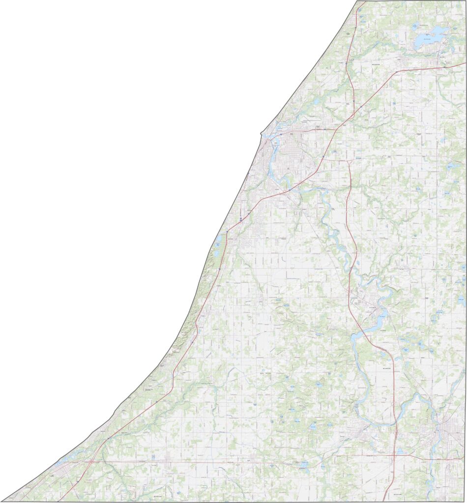
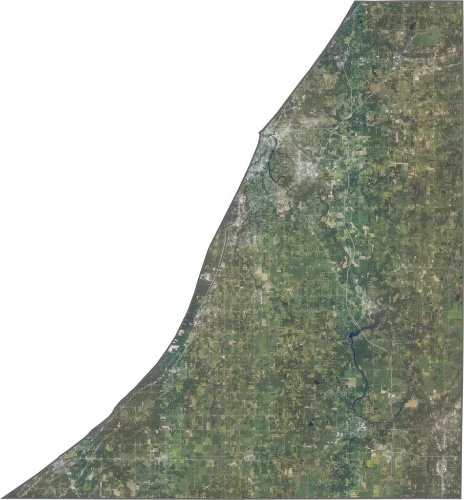
Our Berrien County satellite map shows broad agricultural fields covering much of the eastern portion of the county. Farther inland, patches of forest are mixed with farmland, while more developed communities are concentrated along the Lake Michigan shoreline.
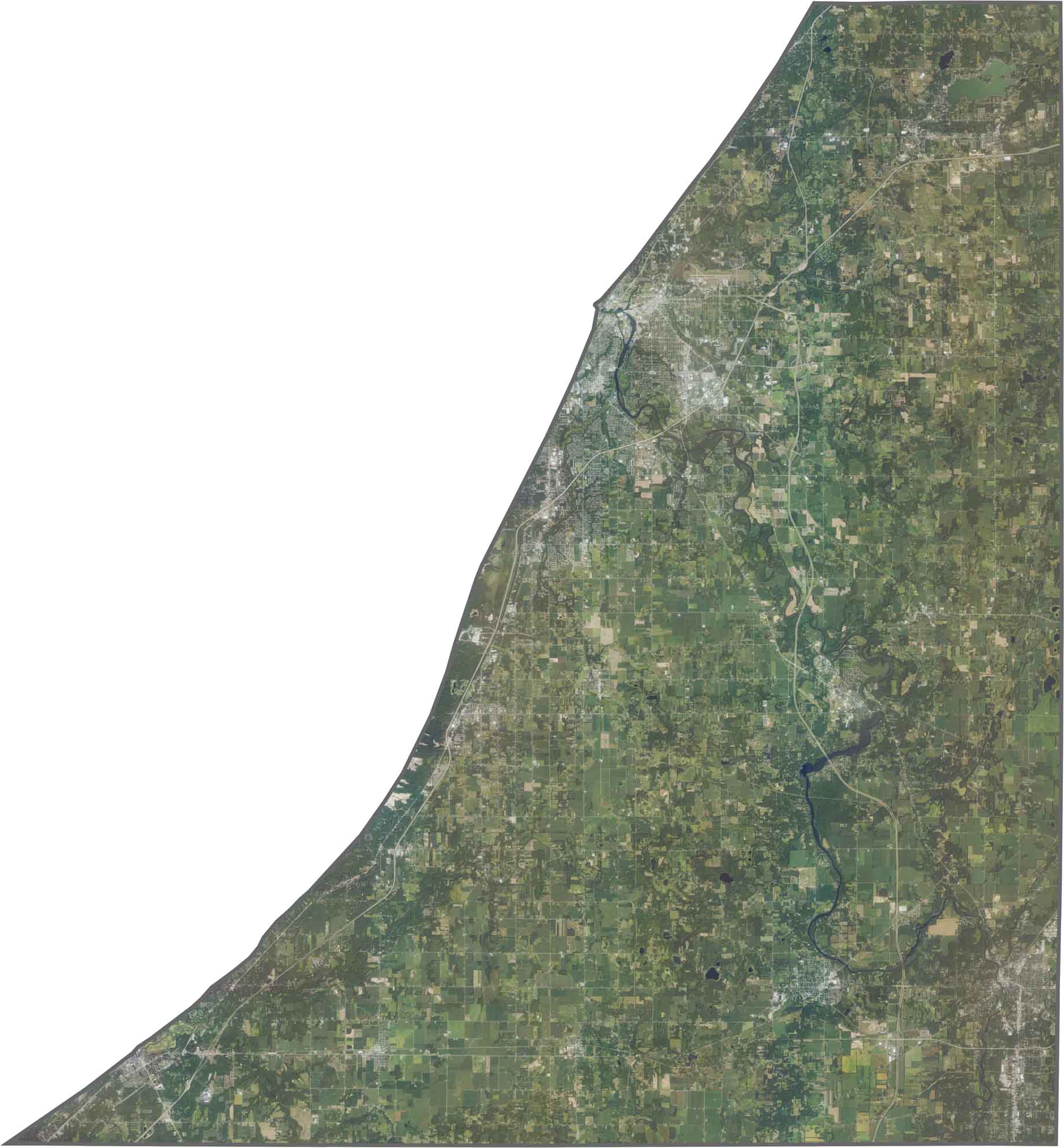
Berrien County follows the eastern shoreline of Lake Michigan, with a gently curving western boundary shaped by the lake. Indiana borders the county to the south along a relatively straight state line. While much of the county’s remaining boundaries are regular, the Lake Michigan shoreline creates a more irregular western edge.


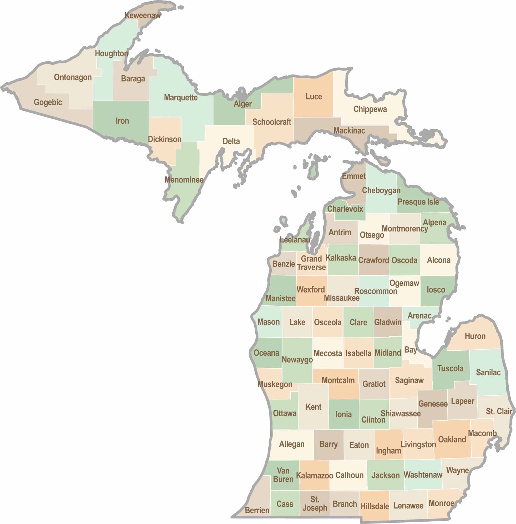
From Motown to moose sightings, Michigan’s 83 counties offer an impressive mix of urban energy, natural beauty, and outdoor adventure. Detroit celebrates its legendary Motown music heritage, while Ann Arbor brings a lively college-town atmosphere shaped by the University of Michigan. From the shores of the Great Lakes to the forests of the Upper Peninsula, the Mitten State delivers a diverse landscape filled with history, culture, and scenic attractions.