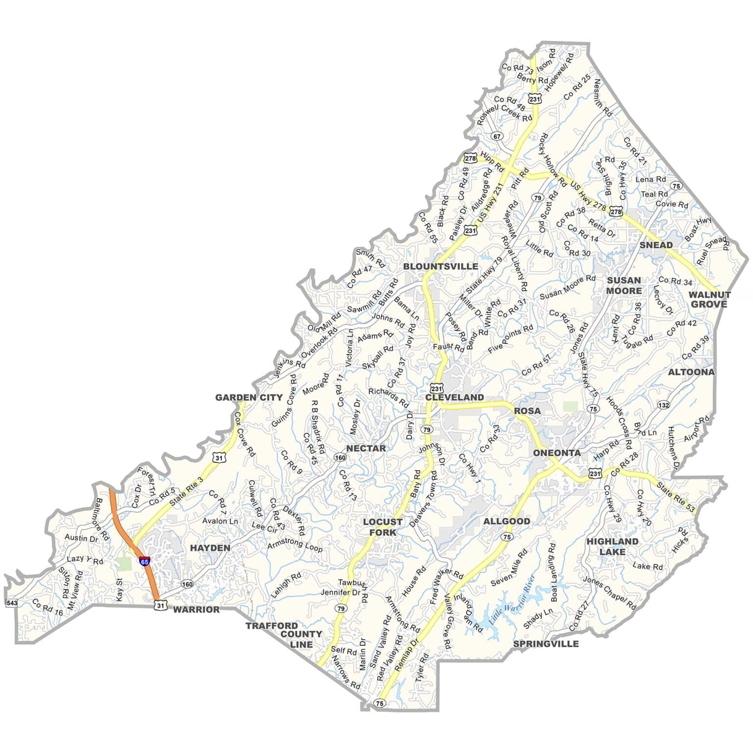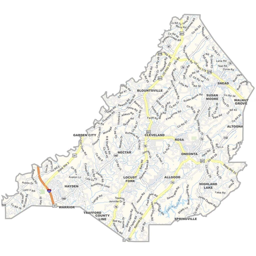
Blount County, Alabama

Blount County is located in north-central Alabama and forms part of the greater Birmingham metropolitan area. The city of Oneonta serves as the county seat and is its largest community. Named after William Blount, a former governor of Tennessee, the county is home to approximately 60,000 residents.

Often referred to as the “Covered Bridge Capital of Alabama,” Blount County is famous for its historic covered bridges, three of which still stand today. These well-preserved landmarks attract visitors from across the state and beyond.

The county offers a mix of suburban and rural landscapes. The southern portion is more closely connected to the Birmingham area, while the northern region features the scenic foothills of the Appalachian Mountains. Nature lovers can explore the underground wonders of Rickwood Caverns State Park, one of Alabama’s most popular natural attractions.
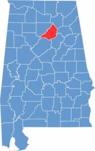

Location map of Blount County Alabama showing county position within the state
Category Details
County Name Blount County
County Seat Oneonta
Cities, Towns, and Communities Branson West, Kimberling City, Reeds Spring, Crane, Galena, Blue Eye, Cape Fair
Interstates and Highways Interstate 65, U.S. Highway 231, U.S. Highway 278, State Route 75, State Route 79, State Route 160
Etymology Named after Governor Willie Blount of Tennessee
FIPS Code 01-009
Total Area (Land and Water) 651 square miles (Land: 645 sq mi, Water: 6 sq mi)
Time Zone Central Time Zone (CT)
State Alabama
Coordinates 33.9373° N, 86.5664° W
Major Landmarks Palisades Park, Rickwood Caverns State Park, Horton Mill Covered Bridge, Swann Covered Bridge, Easley Covered Bridge
Adjacent Counties (and Direction) Marshall County (Northeast), Etowah County (East), St. Clair County (Southeast), Walker County (Southwest), Jefferson County (South), Cullman County (Northwest)
Population Approximately 59,000
Scroll to Top