
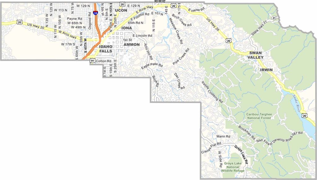
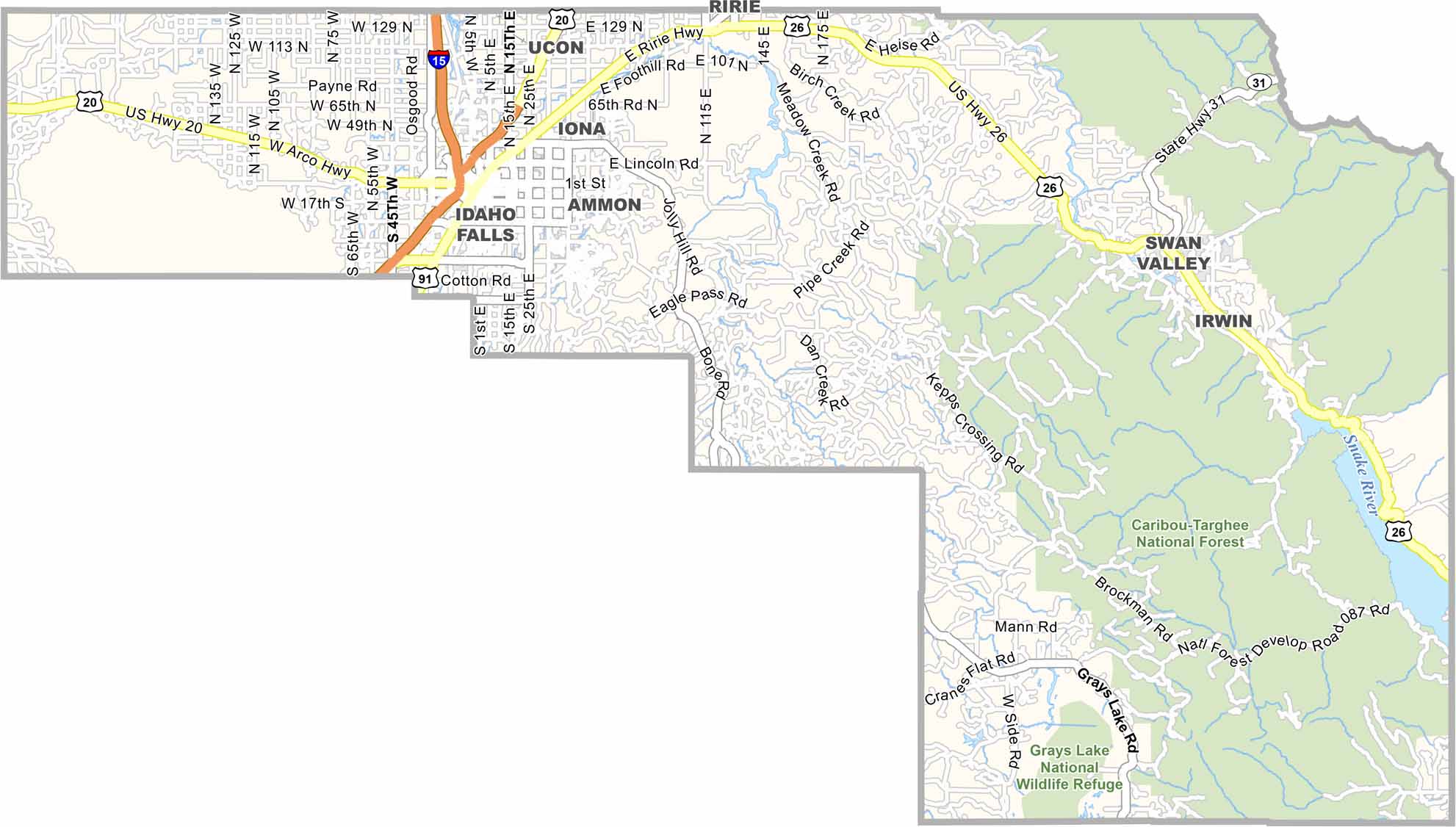
Bonneville County is the urban hub of eastern Idaho, anchored by Idaho Falls. The Snake River runs through the city, creating a scenic greenbelt around its famous waterfall. With its convenient location, Idaho Falls also serves as a popular jumping-off point for trips to Yellowstone National Park.
The nearby Idaho National Laboratory brings a highly educated workforce to the region, creating a distinctive mix of cowboy culture and high-tech jobs. The county stretches from productive farmland to rugged mountain peaks, with plenty of opportunities for outdoor recreation, including skiing at Kelly Canyon, fishing along the South Fork, and hiking in the Caribou-Targhee National Forest.
Agriculture remains important in the rural parts of Bonneville County, with potatoes still playing a major role. The area also has a strong Mormon cultural influence, reflected in family-oriented communities and relatively few bars. Meanwhile, Idaho Falls is growing rapidly, with new subdivisions and development spreading across the surrounding countryside.
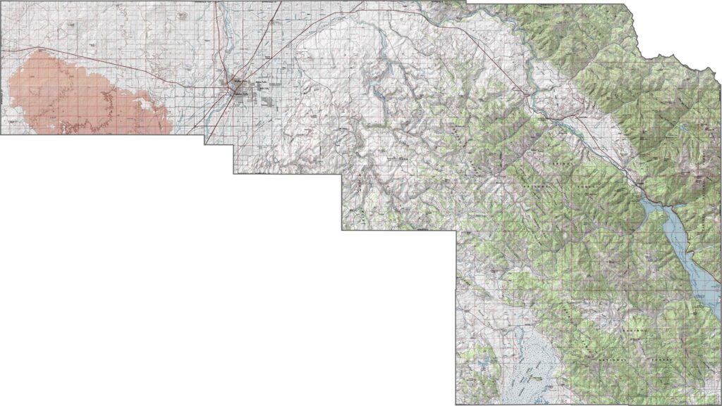
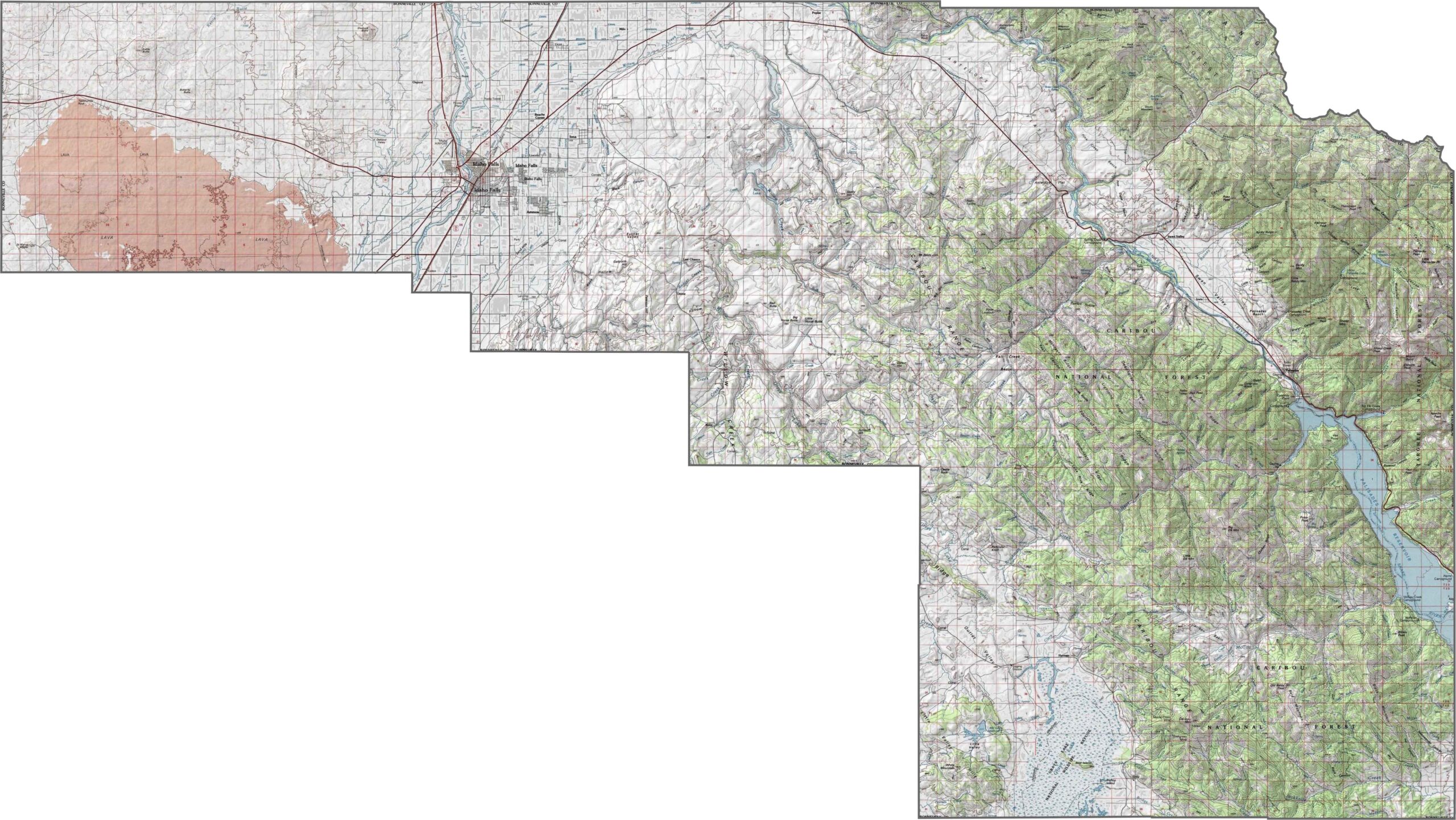
The Bonneville County topographic map shows a landscape of jagged mountain peaks and broad valleys. Idaho Falls is the only major city visible toward the western side of the map, while the surrounding terrain becomes increasingly rugged as you move east. The detailed contour lines make it easy to see the county’s changing elevations and mountainous terrain.
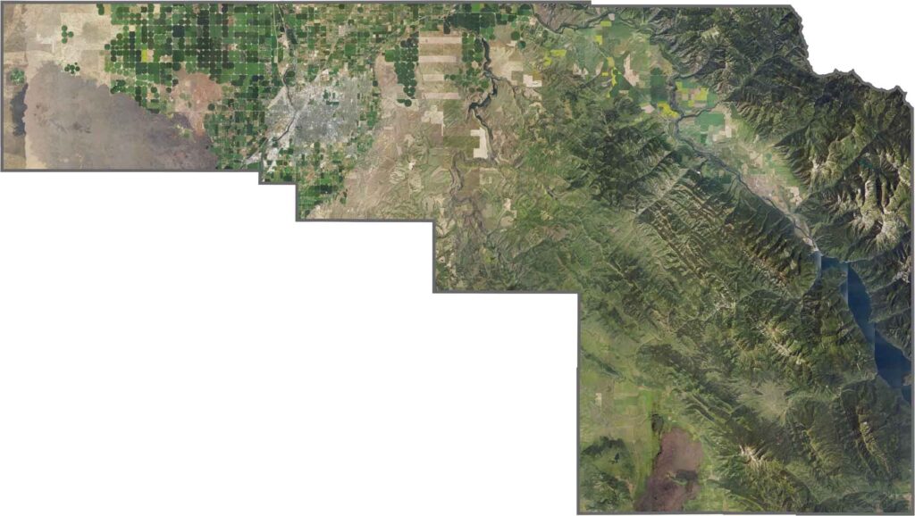
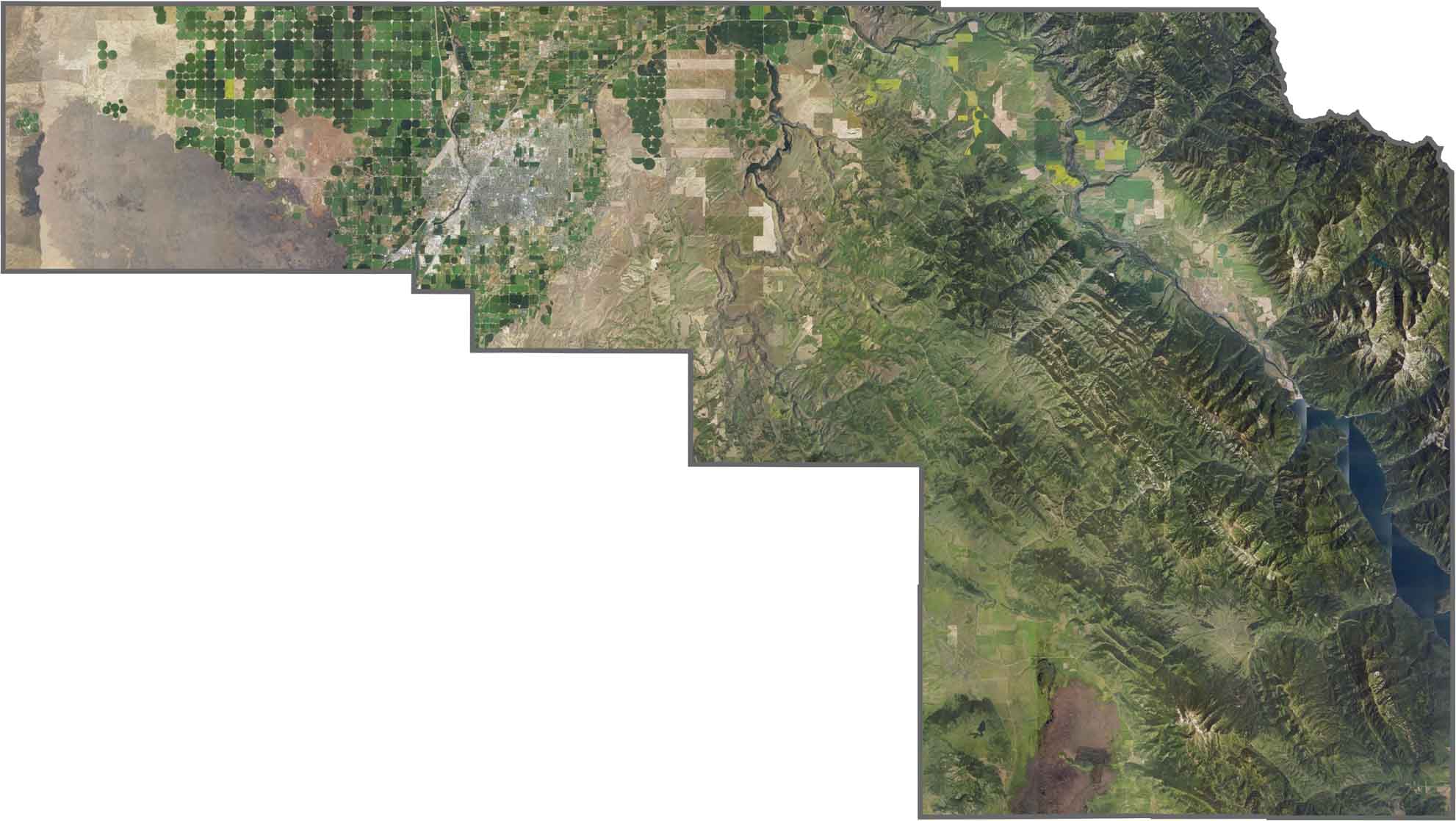
Our Bonneville County satellite map highlights the contrast between urban development and the region’s rugged outdoors. Idaho Falls sits along the Snake River, surrounded by parks, green spaces, and its well-known waterfalls. Farther east, the dramatic Teton Range rises above the landscape, with snow-covered peaks creating a striking backdrop.
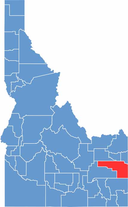
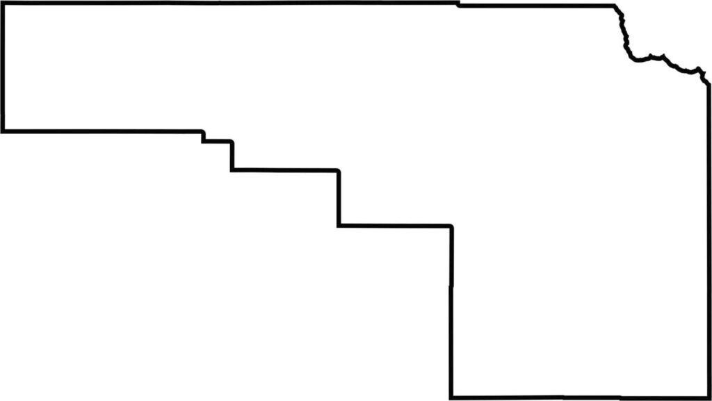
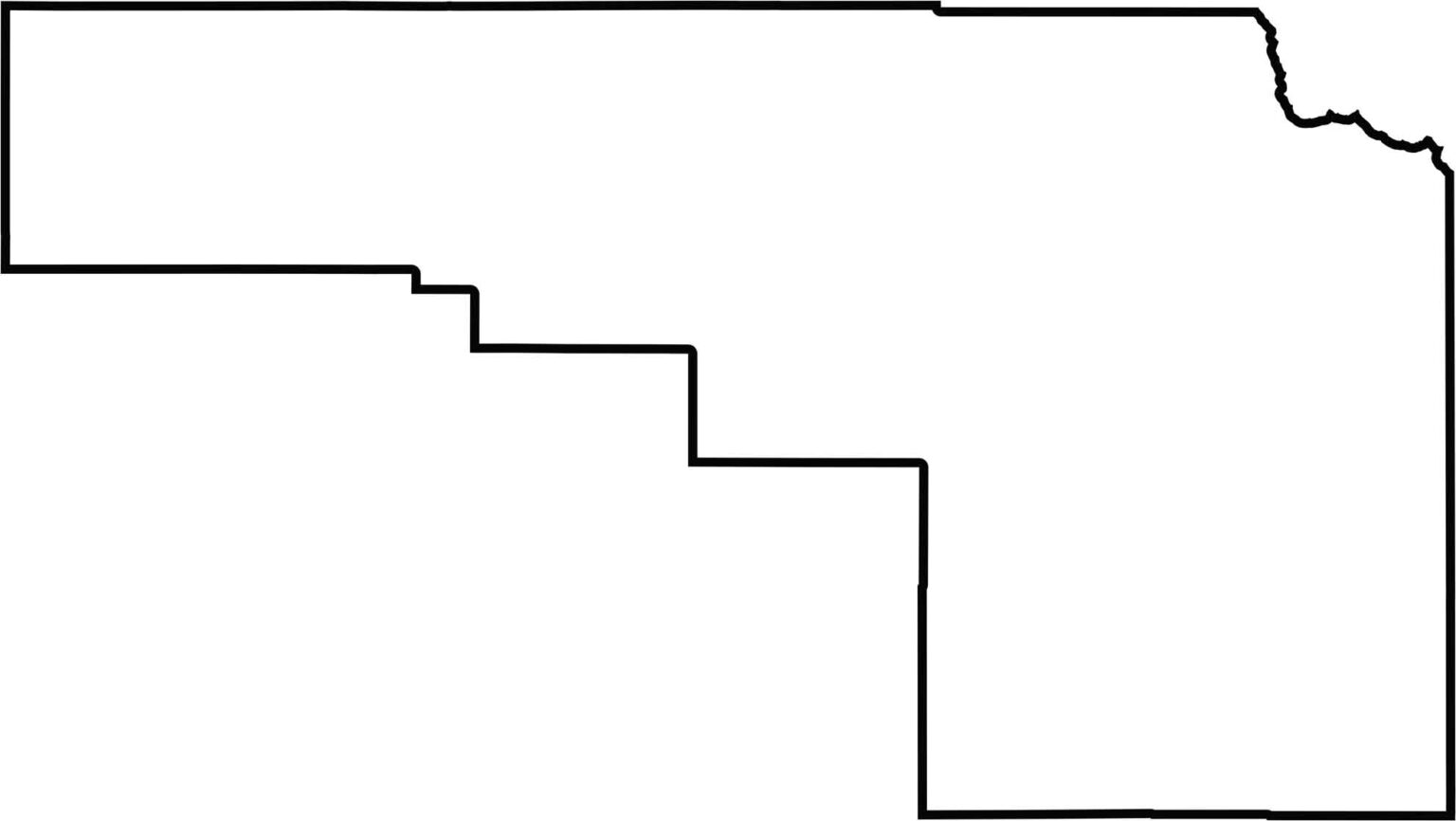
The Bonneville County boundary has a long, narrow shape stretching from west to east. Its northern edge is relatively straight and borders three other Idaho counties, while the eastern boundary follows the Wyoming state line.
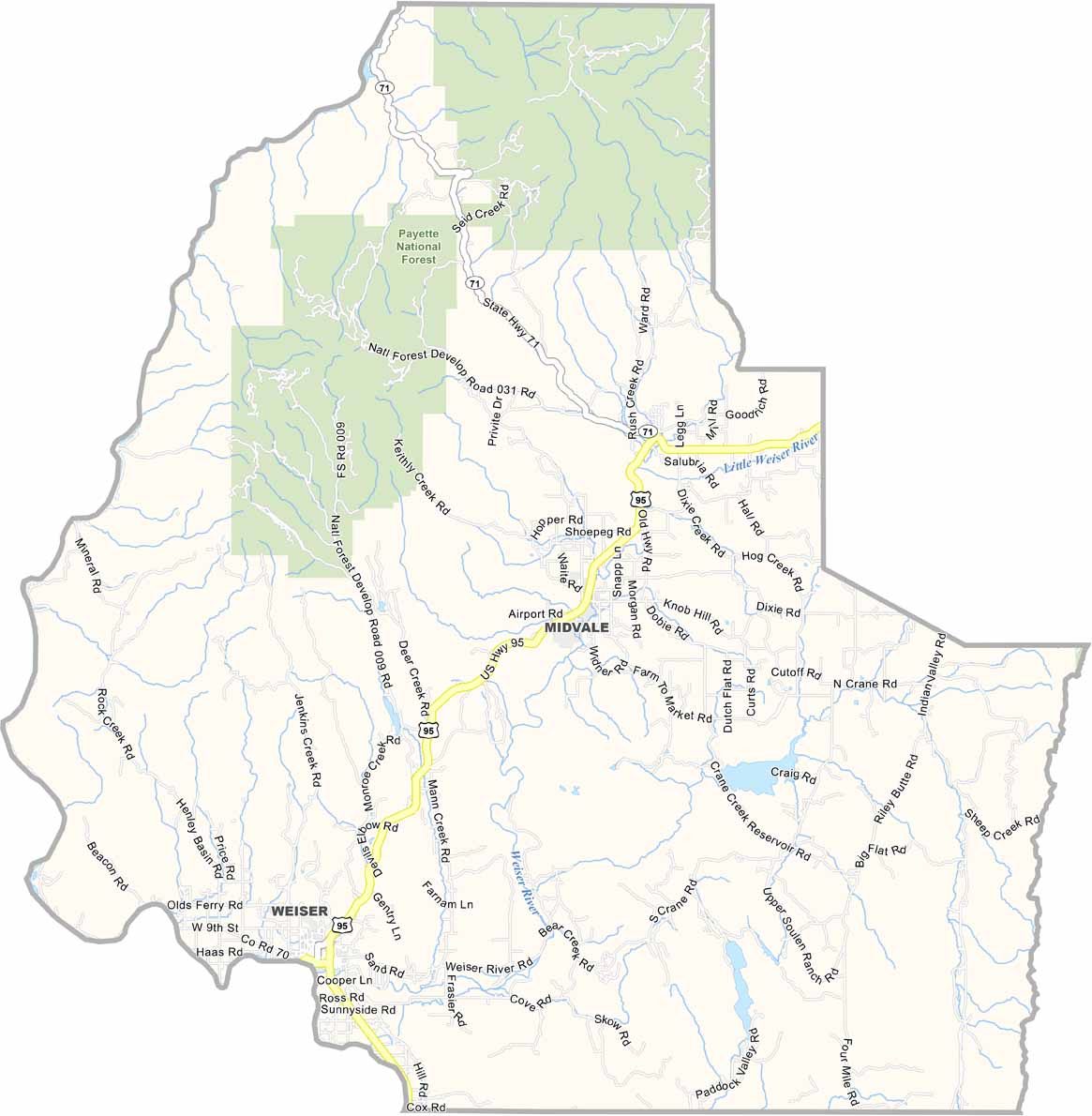
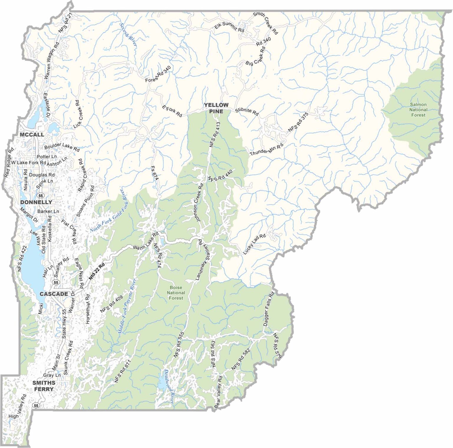
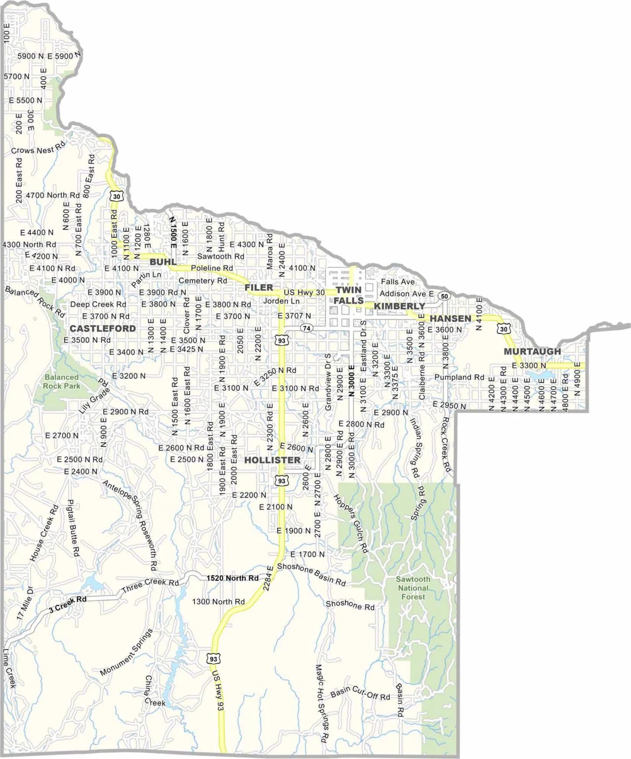
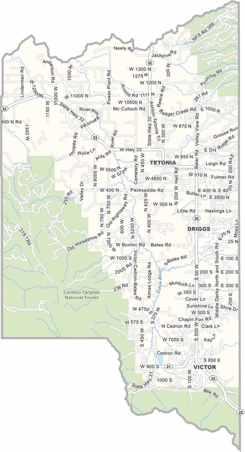
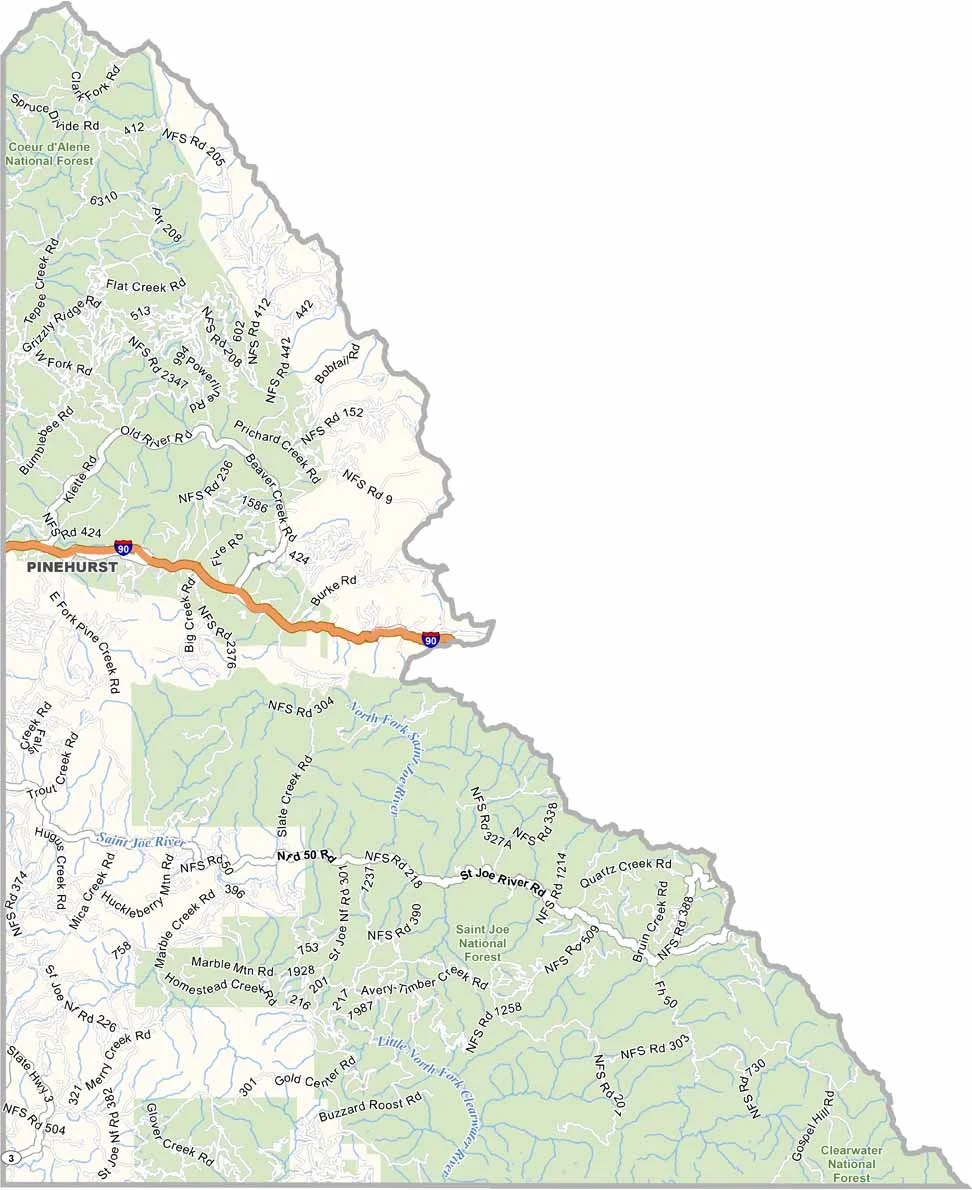
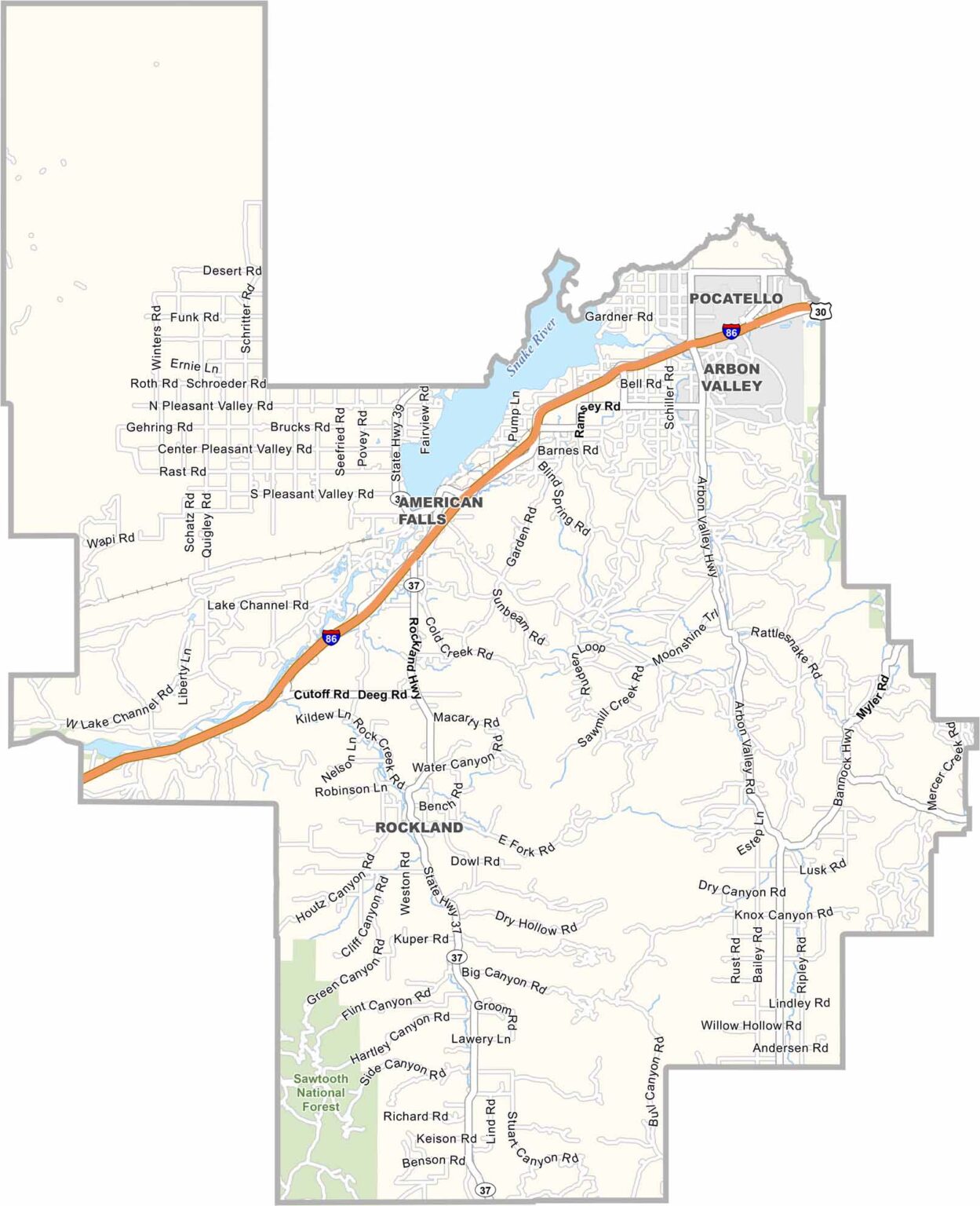
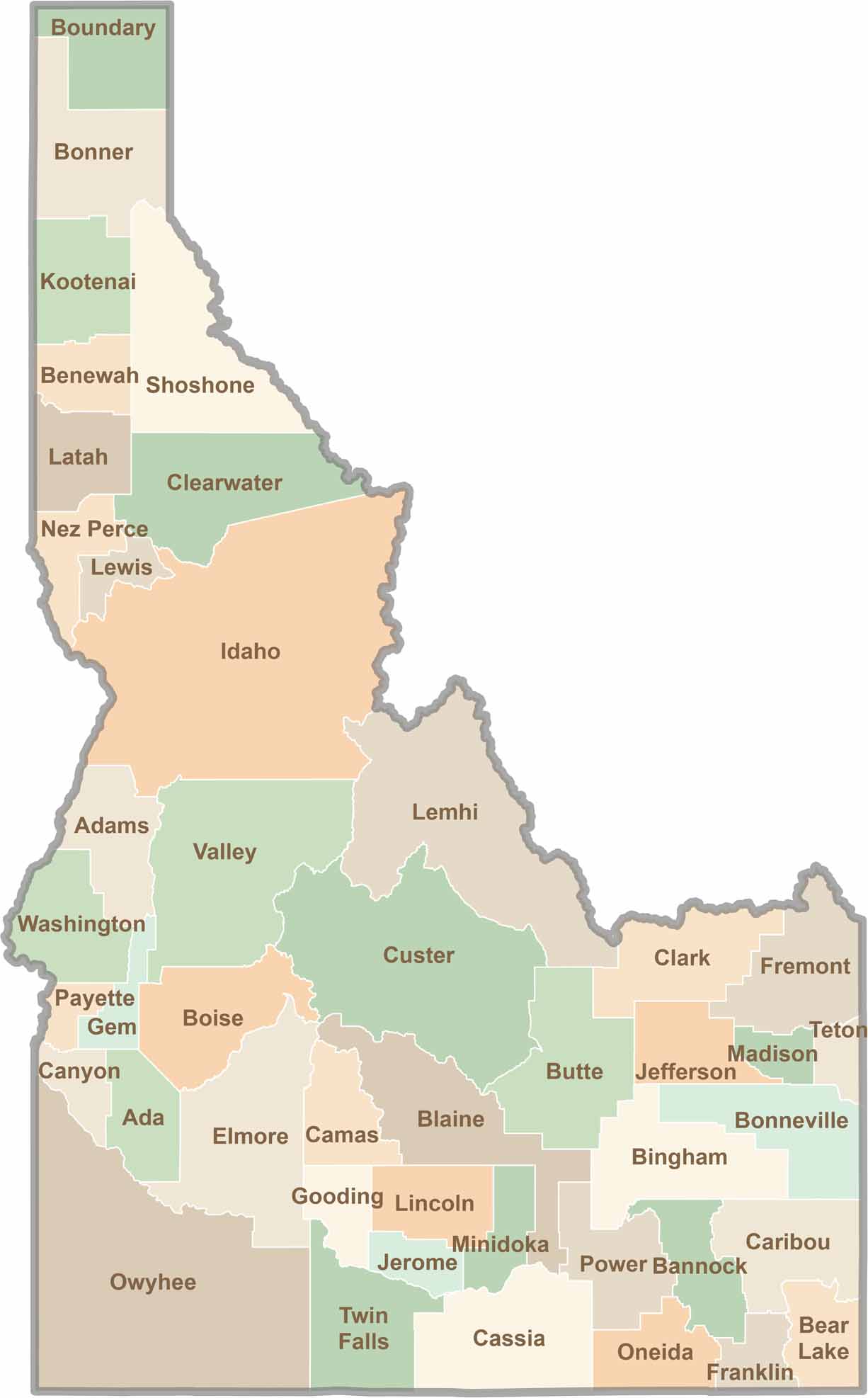
Discover the diverse landscapes of Idaho’s counties, from rugged mountain ranges and rolling plains to expansive forests and wild backcountry. Explore the vibrant heart of Boise, the scenic wilderness of Teton County, and the untamed forests of Shoshone County, each offering a unique glimpse into Idaho’s natural beauty.