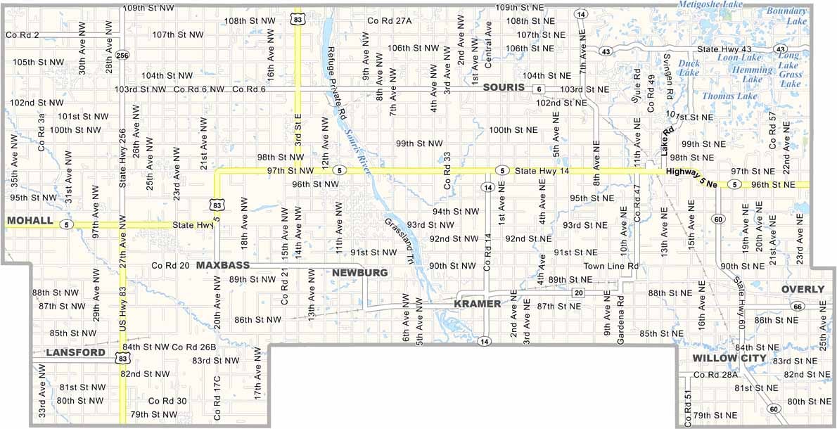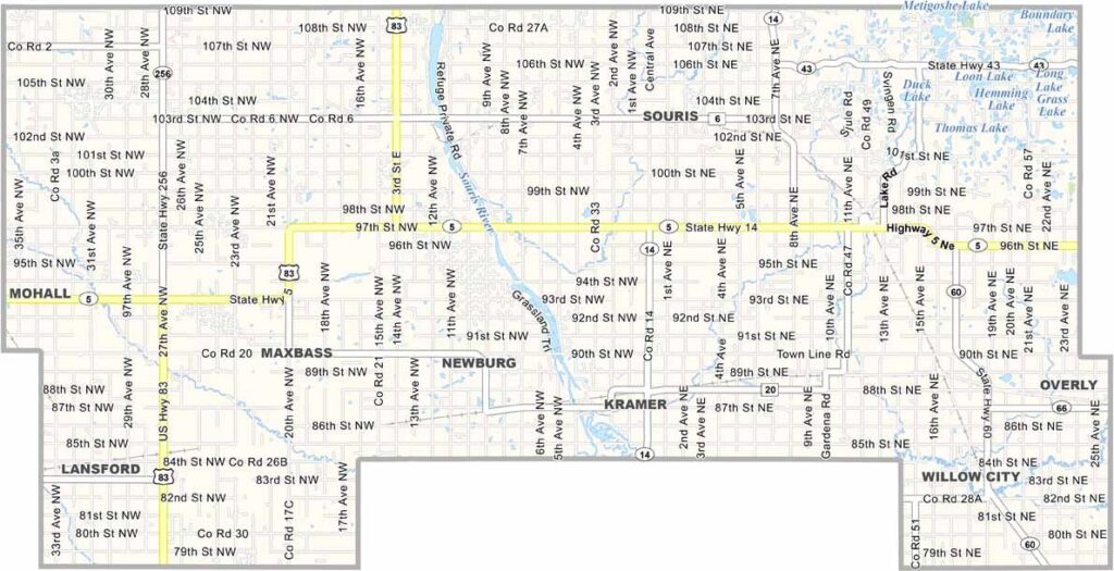
Bottineau County Map, North Dakota

Bottineau County, North Dakota

Bottineau County lies in the north-central region of North Dakota, right on the Canadian border. The county is named after Pierre Bottineau, a famous frontier guide.

The Turtle Mountains provide a unique forested landscape in the prairie state, and Lake Metigoshe is a popular spot for boating and fishing. The Souris River cuts right through the county.

Bottineau, the county seat, is known as the "Four Seasons Playground." Agriculture is king here, with wheat and canola fields aplenty. The International Peace Garden lies just to the east on the border with Canada, symbolizing the friendship between the two nations.
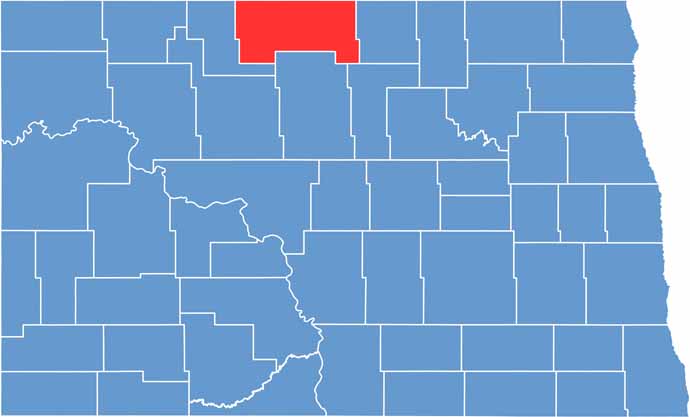
Bottineau County location map of North Dakota
CategoryDetails
County NameBottineau County
County SeatBottineau
EtymologyNamed after Pierre Bottineau, a French-Canadian explorer
Cities, Towns, and CommunitiesBottineau, Newburg, Antler, Westhope
Interstates and HighwaysU.S. Route 5, North Dakota Highway 43
FIPS Code38-009
Total Area (Land and Water)1,530 square miles (land and water)
Adjacent Counties (and Direction)Rolette County (East), Pierce County (Southeast), McHenry County (South), Renville County (West)
Time ZoneCentral Time Zone
StateNorth Dakota
Coordinates48.7830° N, 100.4542° W
Major LandmarksLake Metigoshe, Bottineau County Museum
PopulationApproximately 6,500
Scroll to Top