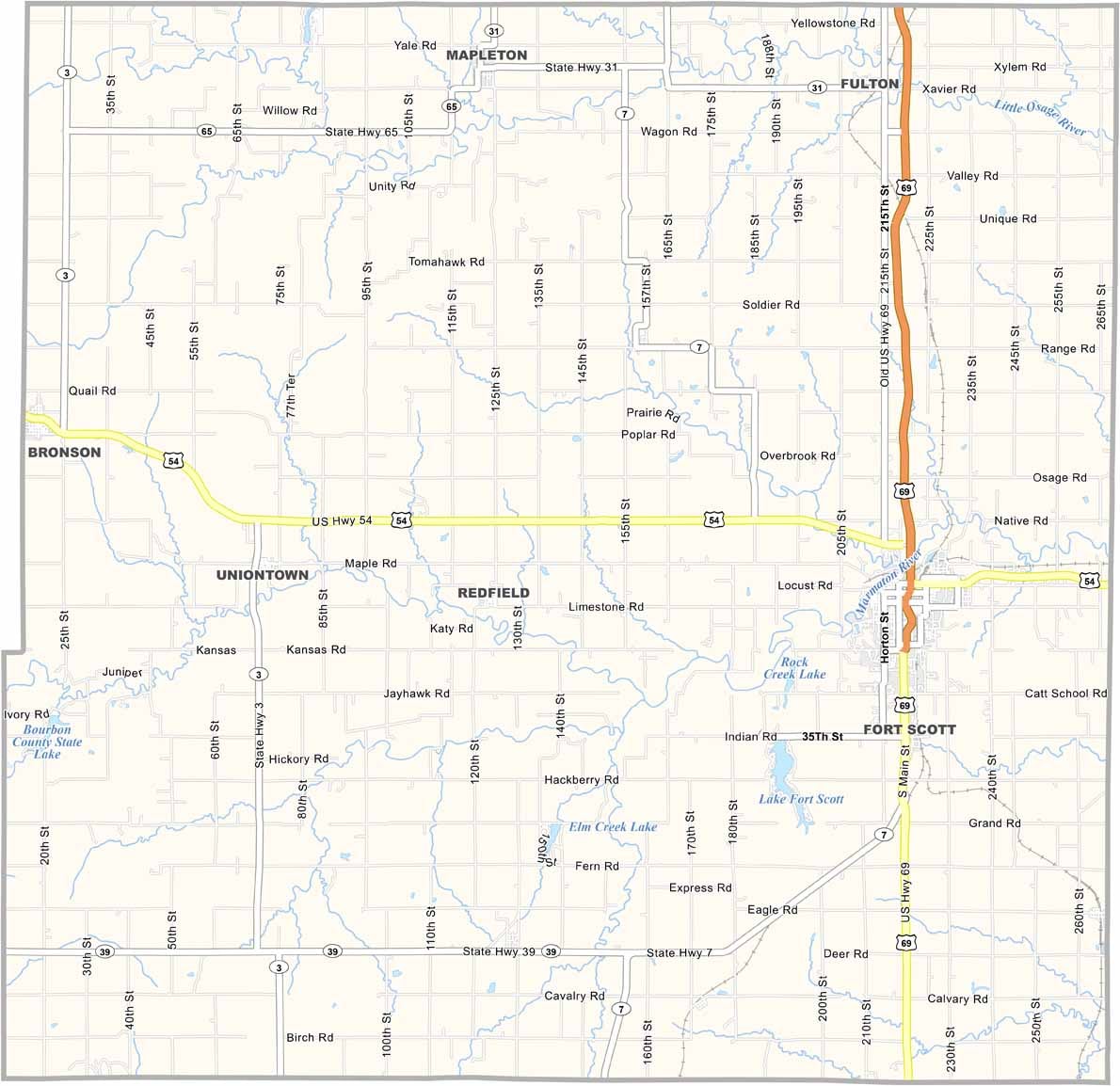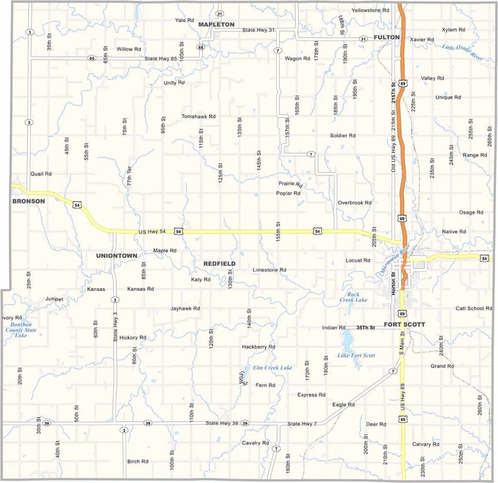
Bourbon County, Kansas

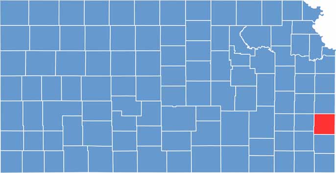
Bourbon County sits in the southeast corner of Kansas, right along the Missouri border. It has about 14,000 residents and a name that might make you thirsty.

Fort Scott, the largest town, is home to a genuine frontier fort that is now a National Historic Site. If you’re interested in Civil War history, this area offers plenty to explore.

The Good Ol’ Days Festival turns downtown Fort Scott into one big celebration. Gunn Park is a local favorite for fishing and disc golf. And if you’re passing through on U.S. Route 69, you might even catch a whiff of that sweet bourbon aroma from the local distillery.
CategoryDetails
County NameBourbon County
County SeatFort Scott
Cities, Towns, and CommunitiesFort Scott, Uniontown, Marmaton, and several smaller communities
Interstates and HighwaysU.S. Highway 69, U.S. Highway 54, Kansas Highway 39
FIPS Code20-011
Total Area (Land and Water)1,262 square miles (land: 1,258 sq mi, water: 4 sq mi)
Adjacent Counties (and Direction)Linn County (North), Vernon County, Missouri (East), Crawford County (South), Neosho County (Southwest), Allen County (West), Anderson County (Northwest)
Time ZoneCentral Time Zone (CST)
StateKansas
Coordinates37.83°N, 94.70°W
EtymologyNamed after the Bourbon County in Kentucky, reflecting the influence of early settlers from that region
Major LandmarksFort Scott National Historic Site, Lake Fort Scott, and the Bourbon County Courthouse
Population14,000
Scroll to Top