
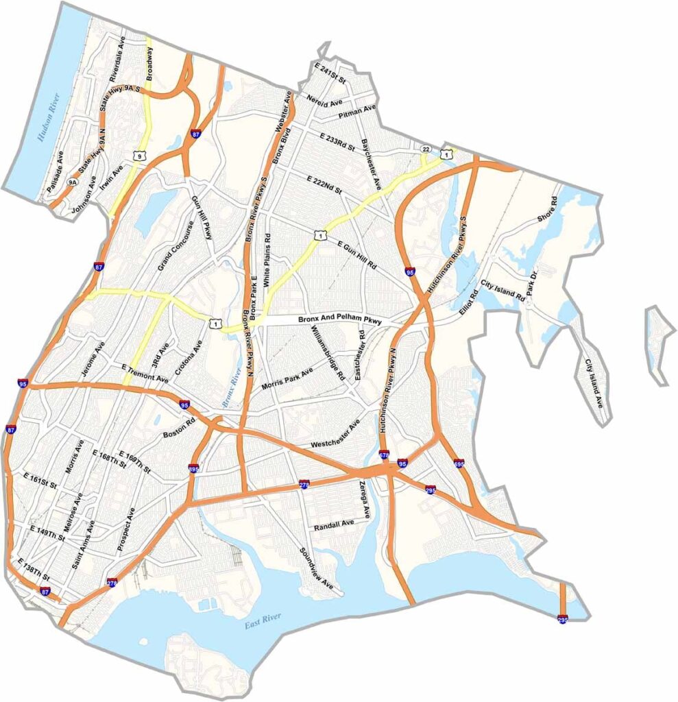
The Bronx is more than just a borough of New York City. It's a community with a character all its own, found at the northern tip of New York City, just across the Harlem River from Manhattan. This place has grit and heart.
It's the birthplace of hip-hop and home to the New York Yankees. The Bronx Zoo is world-famous, housing thousands of animals from across the globe, and Fordham University adds a scholarly vibe to the mix. The New York Botanical Garden offers a bit of green in the urban landscape.
Despite its tough reputation, the Bronx has some of the city's friendliest neighborhoods. It's a melting pot of cultures, where you'll hear dozens of languages spoken on the street. Even if you don't like the Bronx, you like the Bronx.
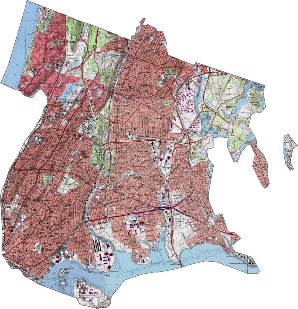
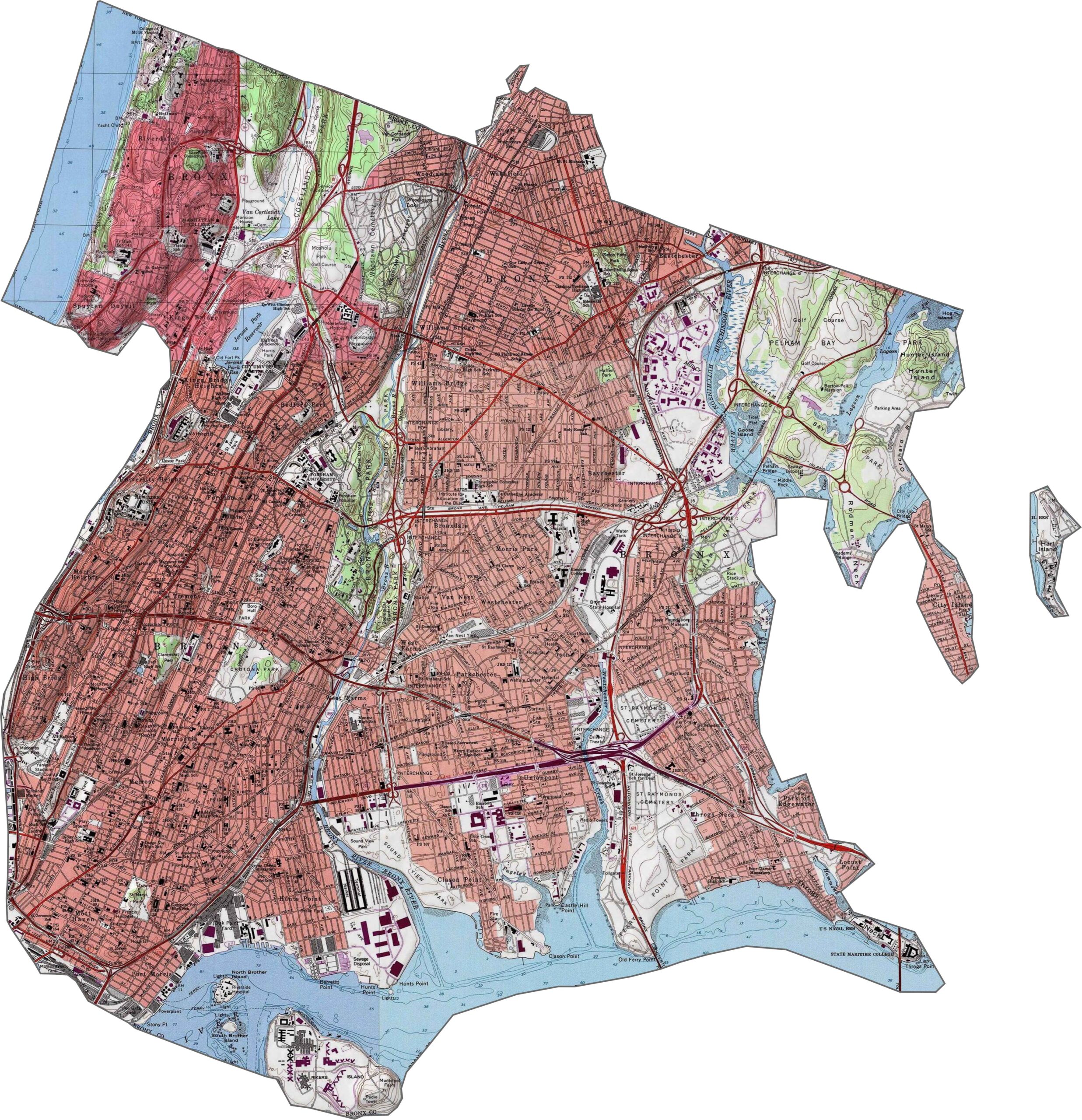
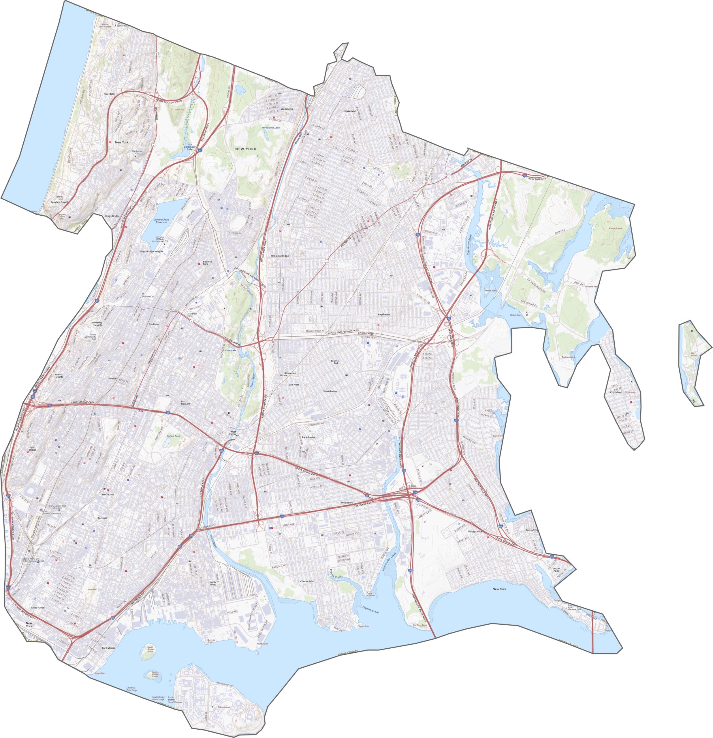
The Bronx mixes low hills with flat, developed land. It's not flat like Manhattan, nor rugged like the Hudson Valley. Instead, ridges rise gently in places like Riverdale, while coastal spots near Eastchester Bay sit lower. The elevation shifts aren't dramatic, but they're noticeable.
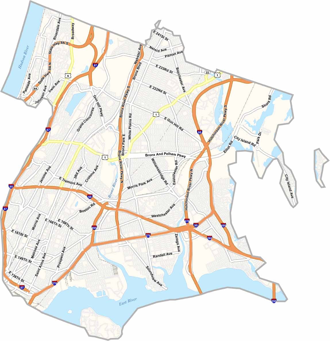
The Bronx is crisscrossed with expressways. I-95 cuts through the center, while I-87 runs along the west. Don't forget the Cross Bronx Expressway and the Bruckner Expressway, two of the busiest corridors in the county. Although the Bronx is small in area, it handles heavy traffic. Try our zoom tool below.
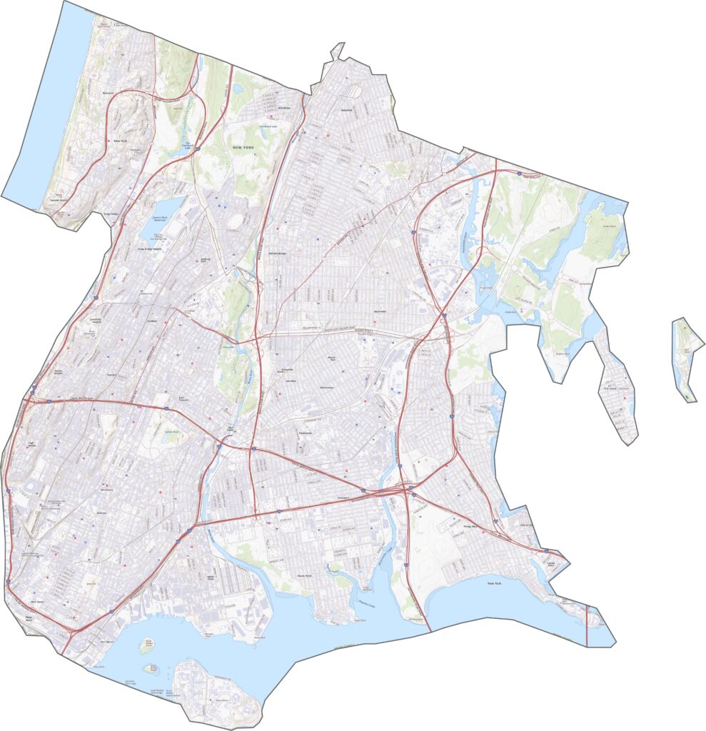
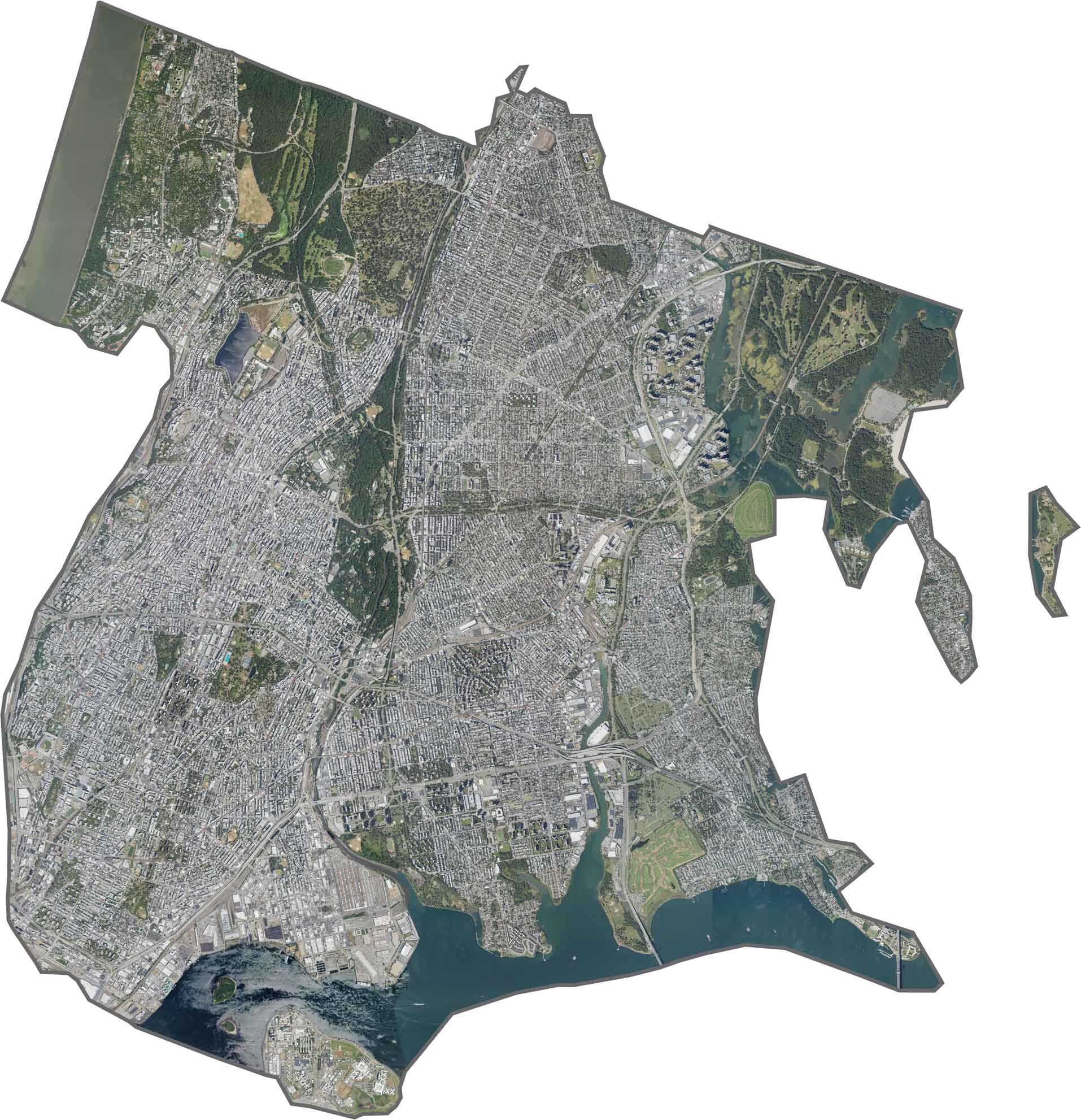
Buildings and roads fill nearly every space in Bronx County, but large green areas still break up the urban landscape. Van Cortlandt Park and Pelham Bay Park are easy to spot. Even though it's part of NYC, the Bronx has more trees and parkland than you'd expect.
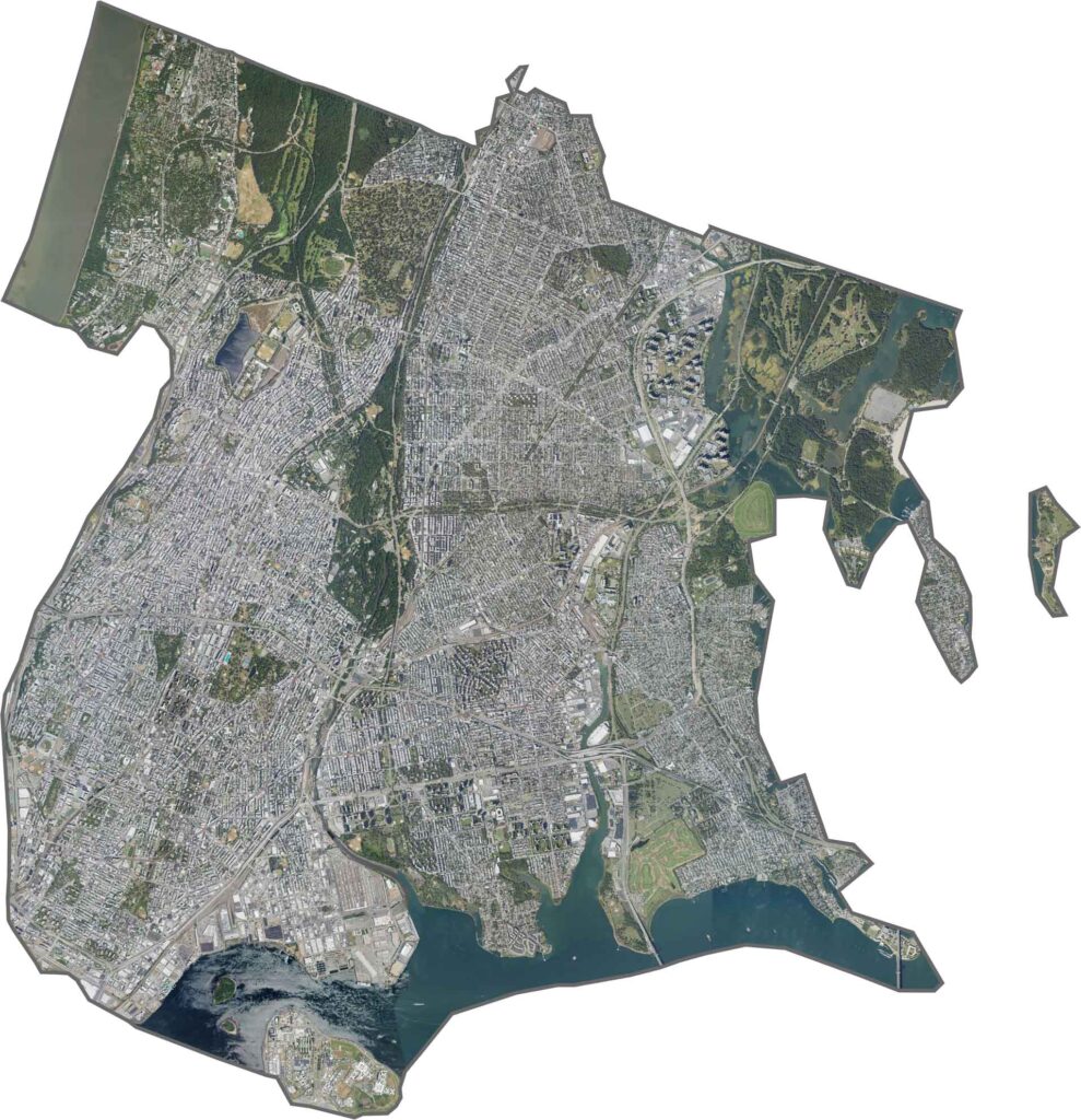
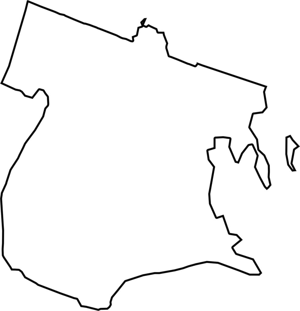
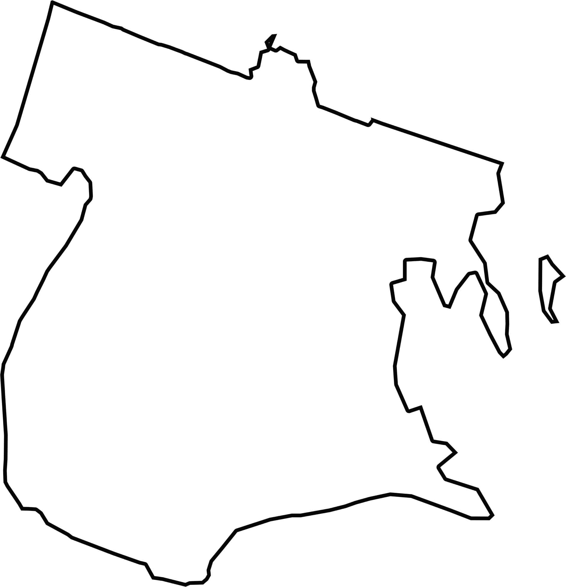
Bronx County has a tight, compact shape. Its southern boundary touches the East River, while the west side borders the Hudson River, across from New Jersey. To the east, it meets Long Island Sound. Inlets and waterlines shape most of its boundaries.







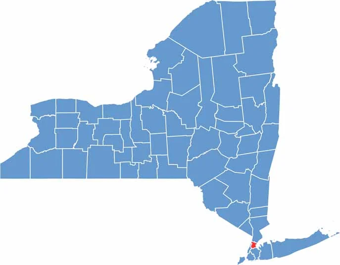
New York has 62 counties, and each one has its own personality. From the nonstop energy of Manhattan to the quiet wilderness of the Adirondacks, there’s plenty of variety to explore. And yes, we can’t forget those famous Buffalo wings. Explore our New York county maps.