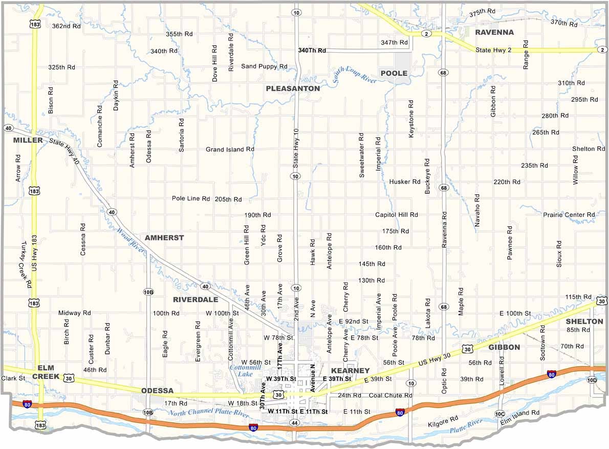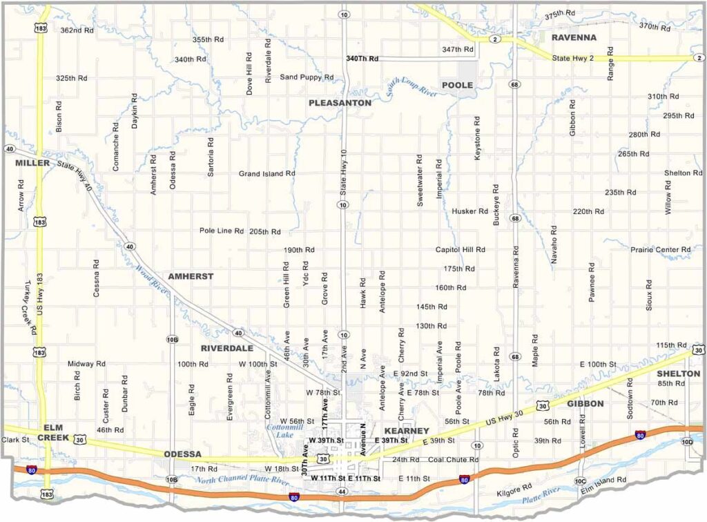
Buffalo County Map, Nebraska

Buffalo County, Nebraska

Buffalo County is located in central Nebraska. Kearney serves as the county seat and is home to the University of Nebraska at Kearney, which brings a youthful energy to the area.

The Platte River flows through the southern part of the county, providing habitat for a wide variety of wildlife. Each spring, thousands of sandhill cranes stop here during their migration. It’s quite an impressive sight.

Agriculture is a major part of the local economy, with corn and soybeans covering much of the landscape. The Great Platte River Road Archway Monument is a unique attraction that stretches across I-80. Visitors can also explore Fort Kearny State Historical Park.
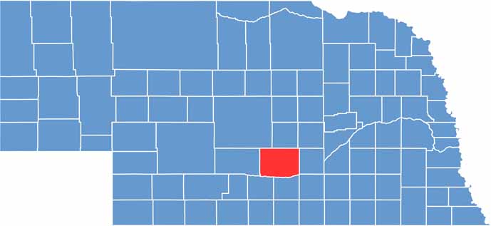

Buffalo County location map of Nebraska
CategoryDetails
County NameBuffalo County
County SeatKearney
EtymologyNamed after the American bison, commonly referred to as buffalo
Cities, Towns, and CommunitiesKearney, Gibbon, Shelton, Ravenna, Elm Creek, Riverdale
Interstates and HighwaysI-80, US 30, NE 10
FIPS Code31-019
Total Area (Land and Water)975 square miles (Land: 968 sq mi, Water: 7 sq mi)
Adjacent Counties (and Direction)Hall County (East), Adams County (Southeast), Kearney County (South), Phelps County (Southwest), Dawson County (West), Custer County (Northwest), Sherman County (North), Howard County (Northeast)
Time ZoneCentral Time Zone (CT)
StateNebraska
Coordinates40.7251° N, 99.0832° W
Major LandmarksUniversity of Nebraska at Kearney, Great Platte River Road Archway, Yanney Heritage Park
PopulationApproximately 52,000
Scroll to Top