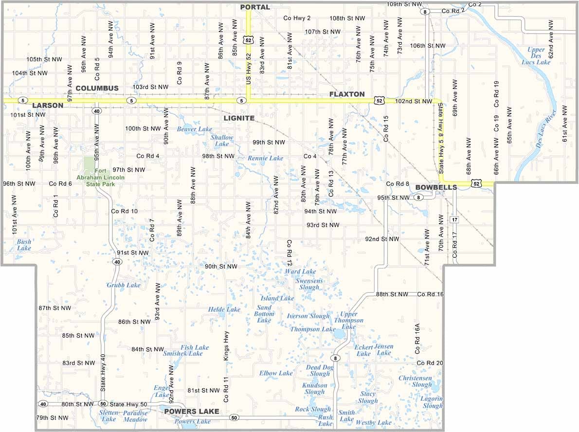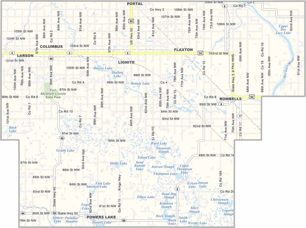
Burke County Map, North Dakota

Burke County, North Dakota

Burke County sits in the northwestern part of North Dakota along the Canadian border. This is oil country, where derricks dot the landscape alongside wheat fields. Bowbells is the county seat.

The area has a rich homesteading history, and you can still see abandoned pioneer buildings on the prairie. The county is also home to the Burke County Fair in Flaxton.

Lignite coal mining was once big business here, but now agriculture and oil drive the economy. Community is important to the locals, though the wide-open spaces can take your breath away.
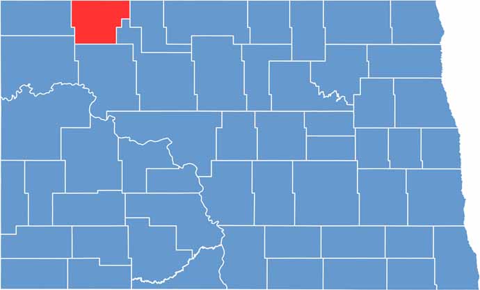
Burke County location map of North Dakota
CategoryDetails
County NameBurke County
County SeatBowbells
EtymologyNamed after John Burke, tenth Governor of North Dakota
Cities, Towns, and CommunitiesBowbells, Lignite, Noonan, Columbus
Interstates and HighwaysNorth Dakota Highway 5, North Dakota Highway 62
FIPS Code38-013
Total Area (Land and Water)1,849 square miles (land and water)
Adjacent Counties (and Direction)Renville County (East), Ward County (Southeast), Mountrail County (South), Williams County (Southwest), Divide County (West)
Time ZoneMountain Time Zone
StateNorth Dakota
Coordinates48.7351° N, 102.1304° W
Major LandmarksLake Metigoshe, Burke County Historical Museum
PopulationApproximately 2,200
Scroll to Top