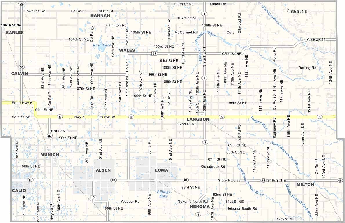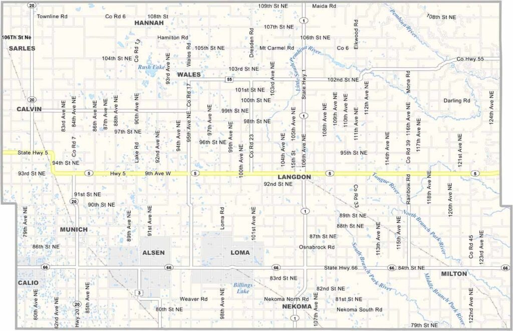
Cavalier County Map, North Dakota

Cavalier County, North Dakota

Cavalier County occupies the northeastern corner of North Dakota and is named after Charles Cavalier, an early settler. Langdon, the county seat, is home to a post office that has been in operation since 1886.

Agriculture dominates the landscape, with canola fields painting the prairie yellow in summer. Wheat, barley, and flax also help shape the region's rural character.

The county has a strong Icelandic heritage, and you can learn about its history at the Cavalier County Museum. Locals enjoy outdoor recreation at Mt. Carmel Dam, while the Frost Fire Summer Theatre brings a touch of culture to the countryside.
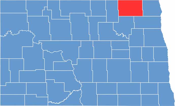
Cavalier County location map of North Dakota
CategoryDetails
County NameCavalier County
County SeatLangdon
EtymologyNamed after Charles Cavalier, French fur trapper
Cities, Towns, and CommunitiesLangdon, Munich, Bathgate, Pembina
Interstates and HighwaysNorth Dakota Highway 1, North Dakota Highway 5
FIPS Code38-019
Total Area (Land and Water)1,310 square miles (land and water)
Adjacent Counties (and Direction)Pembina County (East), Walsh County (Southeast), Ramsey County (South), Towner County (West)
Time ZoneCentral Time Zone
StateNorth Dakota
Coordinates48.7716° N, 98.4725° W
Major LandmarksLangdon City Park, Icelandic State Park
PopulationApproximately 3,500
Scroll to Top