
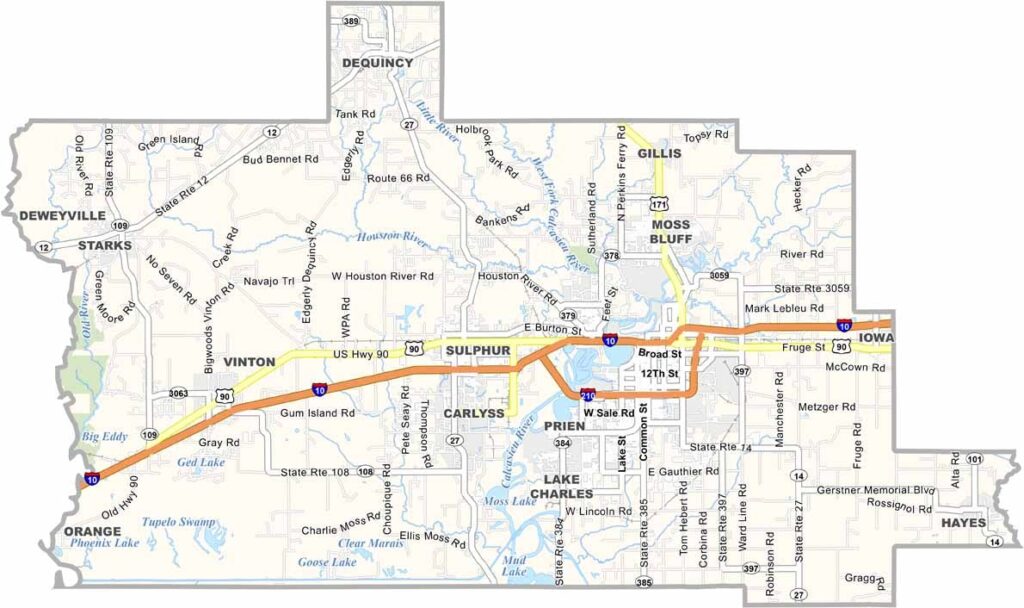
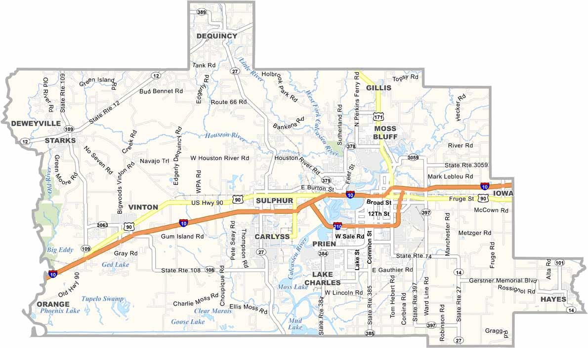
Calcasieu Parish sits in the southwestern corner of Louisiana, along the Texas border. The parish offers a diverse landscape that includes busy cities, quiet bayous, expansive farmland, and coastal areas.
Lake Charles, the parish seat and largest city, blends Cajun culture with modern attractions and entertainment. Residents and visitors enjoy a range of outdoor activities, from fishing and boating to hiking and exploring the area’s natural landscapes.
Calcasieu Parish has faced its share of hurricanes and severe storms, but its communities have repeatedly demonstrated resilience. The oil and gas industry plays a major role in the local economy, with large refineries and industrial facilities shaping parts of the landscape. At the same time, the parish has a growing arts and cultural scene, adding another dimension to its character.
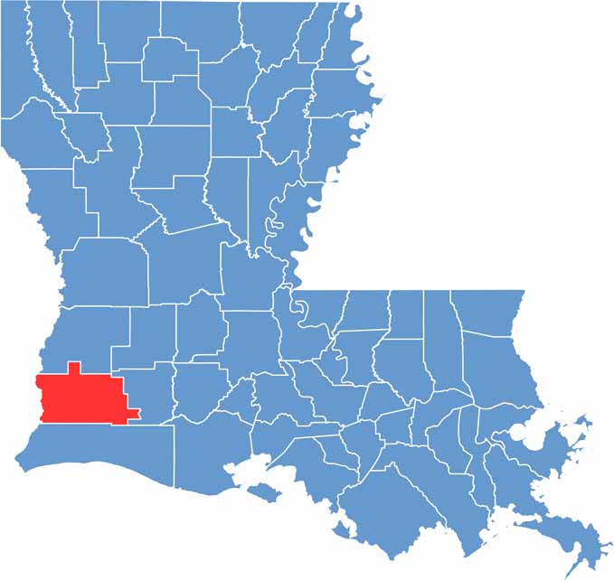
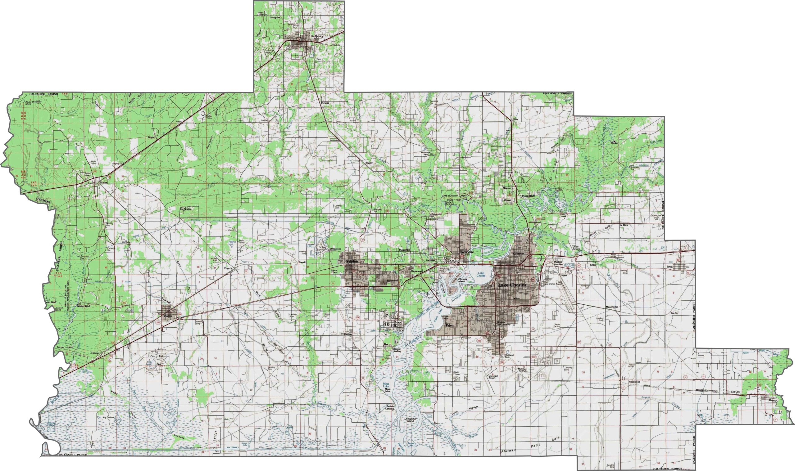
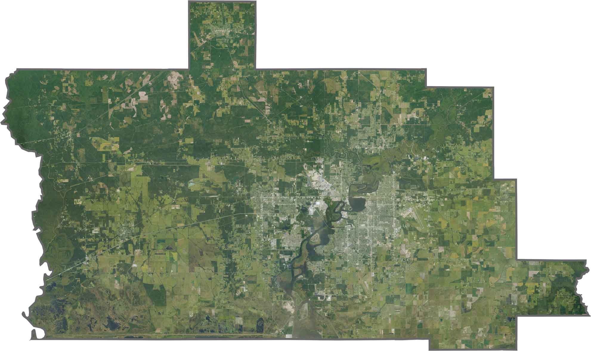
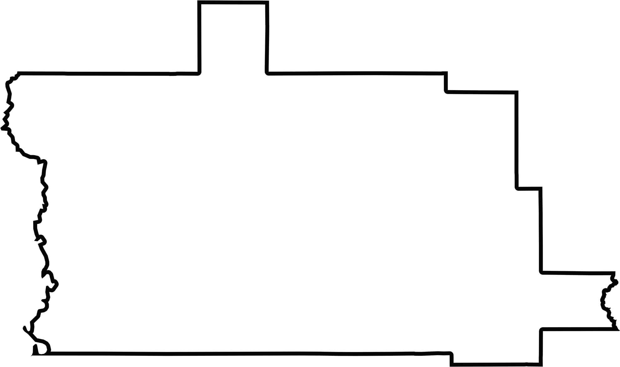
Calcasieu Parish transitions from coastal marshes in the south to inland prairies farther north. The landscape is mostly flat, with the Calcasieu River creating the most noticeable changes in elevation and drainage patterns. Use our zoom tool to explore the parish’s terrain and geographic details.
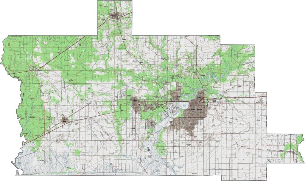
Industry and wetlands meet across the parish, where the Calcasieu River flows past refineries, industrial facilities, and busy docks. Farther south, expansive marshes dominate the landscape, while Lake Calcasieu stands out as a prominent water feature surrounded by coastal wetlands.
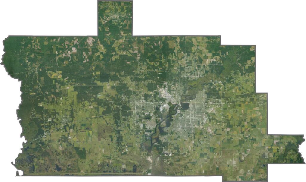
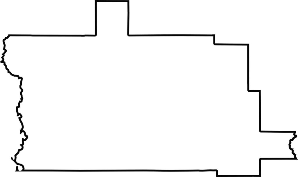
Calcasieu Parish curves along the Sabine River, forming part of the border with Texas. Coastal marshes shape its southern edges, while Jefferson Davis Parish and Cameron Parish complete much of its Louisiana boundaries.






In Louisiana, you’ll taste the spirit of the state in its hot sauce and hear it in the midnight blues. Laissez les bon temps rouler! Explore our Louisiana parish maps to discover the state’s unique communities, winding bayous, and rich landscapes. Come for the beignets. Stay for the bayou.