
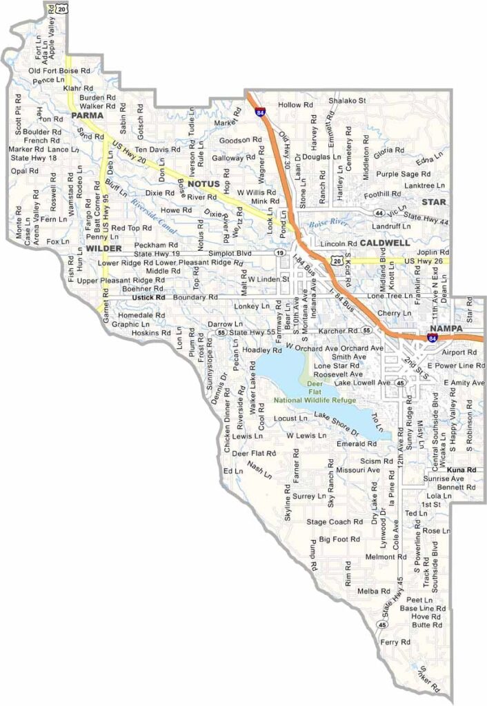
Canyon County is a major part of Idaho’s agricultural heartland, stretching across the western Snake River Plain. Nampa and Caldwell, the county’s largest communities, have grown from quiet farming towns into rapidly developing Boise suburbs, bringing new residents and development into the area.
Across the landscape, onion fields and farmland sit alongside expanding neighborhoods and new subdivisions. The county is also known for its wineries and Sunnyslope Wine Trail, offering scenic vineyard views and a growing wine culture. The Snake River forms much of the southern boundary, providing opportunities for fishing, boating, and outdoor recreation.
Hot, dry summers create excellent conditions for agriculture but can make life uncomfortable during the peak of the season. Latino communities have also become an important part of Canyon County’s cultural identity, contributing to its diverse food, traditions, and community life. Rodeos, county fairs, and agricultural events remain popular local traditions, connecting the rapidly growing county to its rural roots.
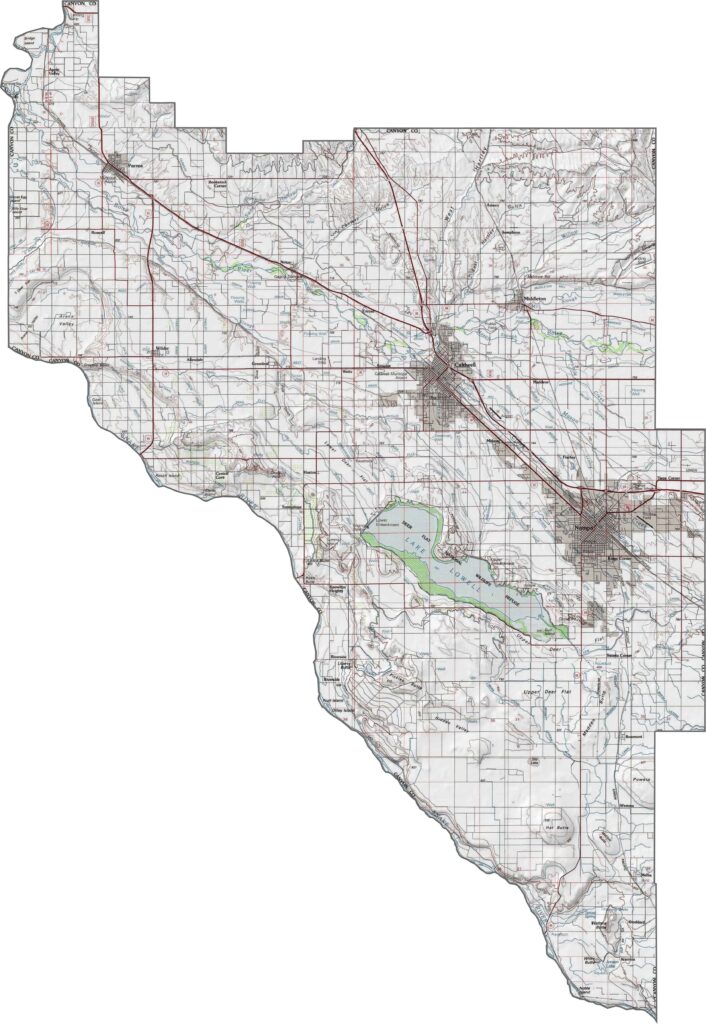
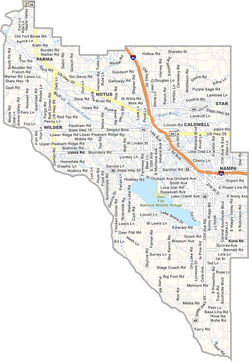
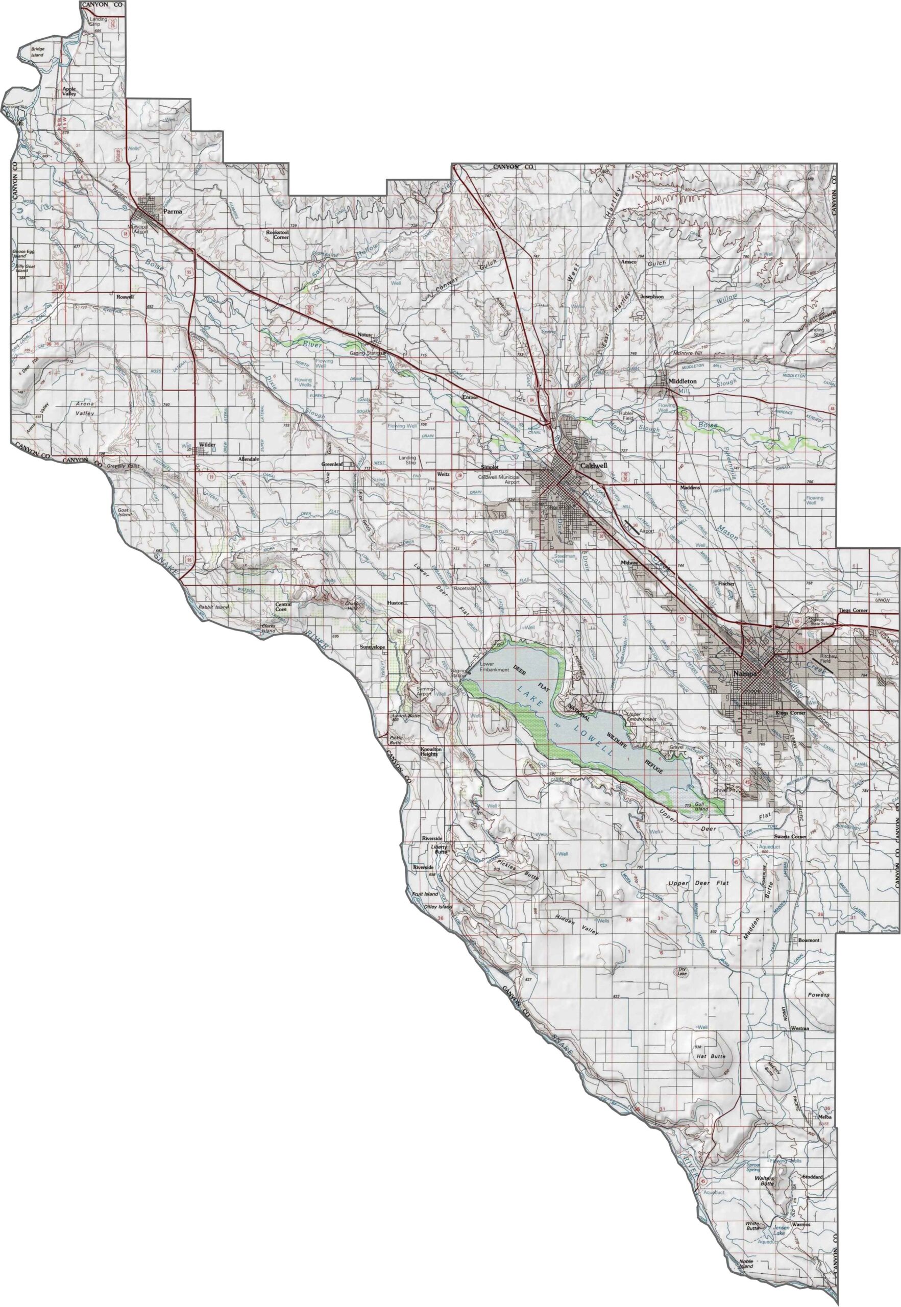
Our Canyon County topographic map highlights a broad, open landscape dominated by farmland and flat plains. Use the zoom tool to explore Lake Lowell, located south of Caldwell and west of Nampa. The map gives a clear sense of the county’s peaceful agricultural setting and wide-open terrain.
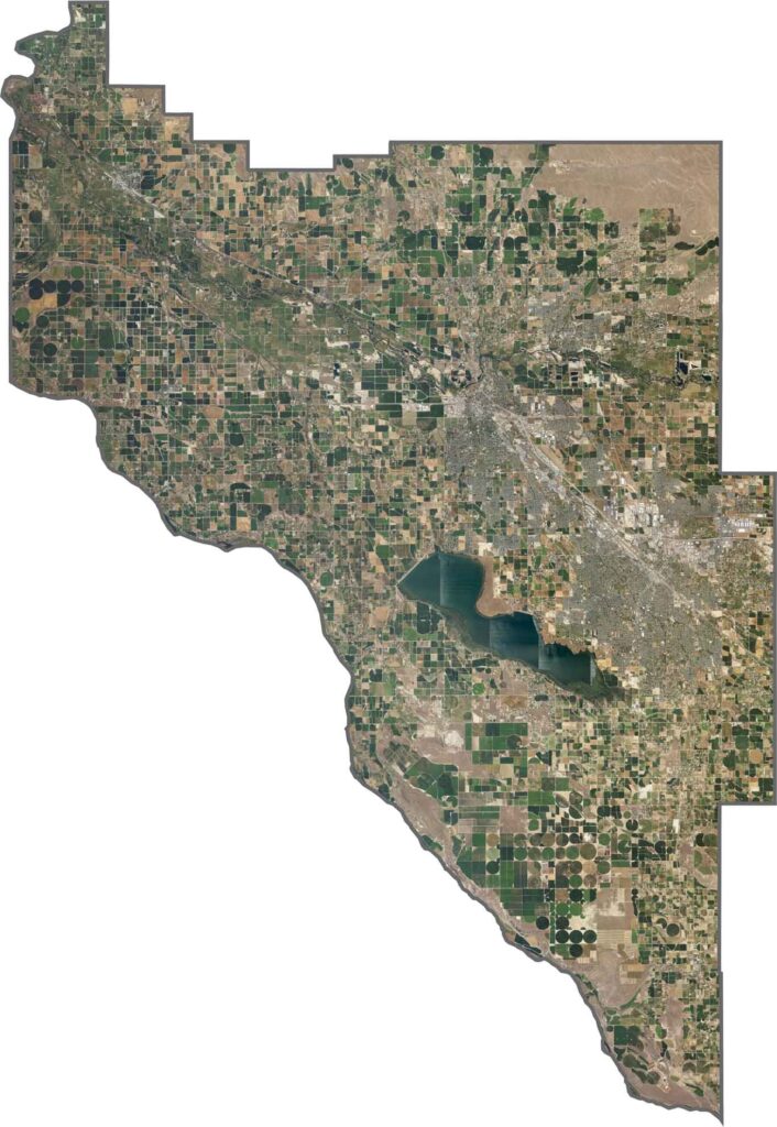
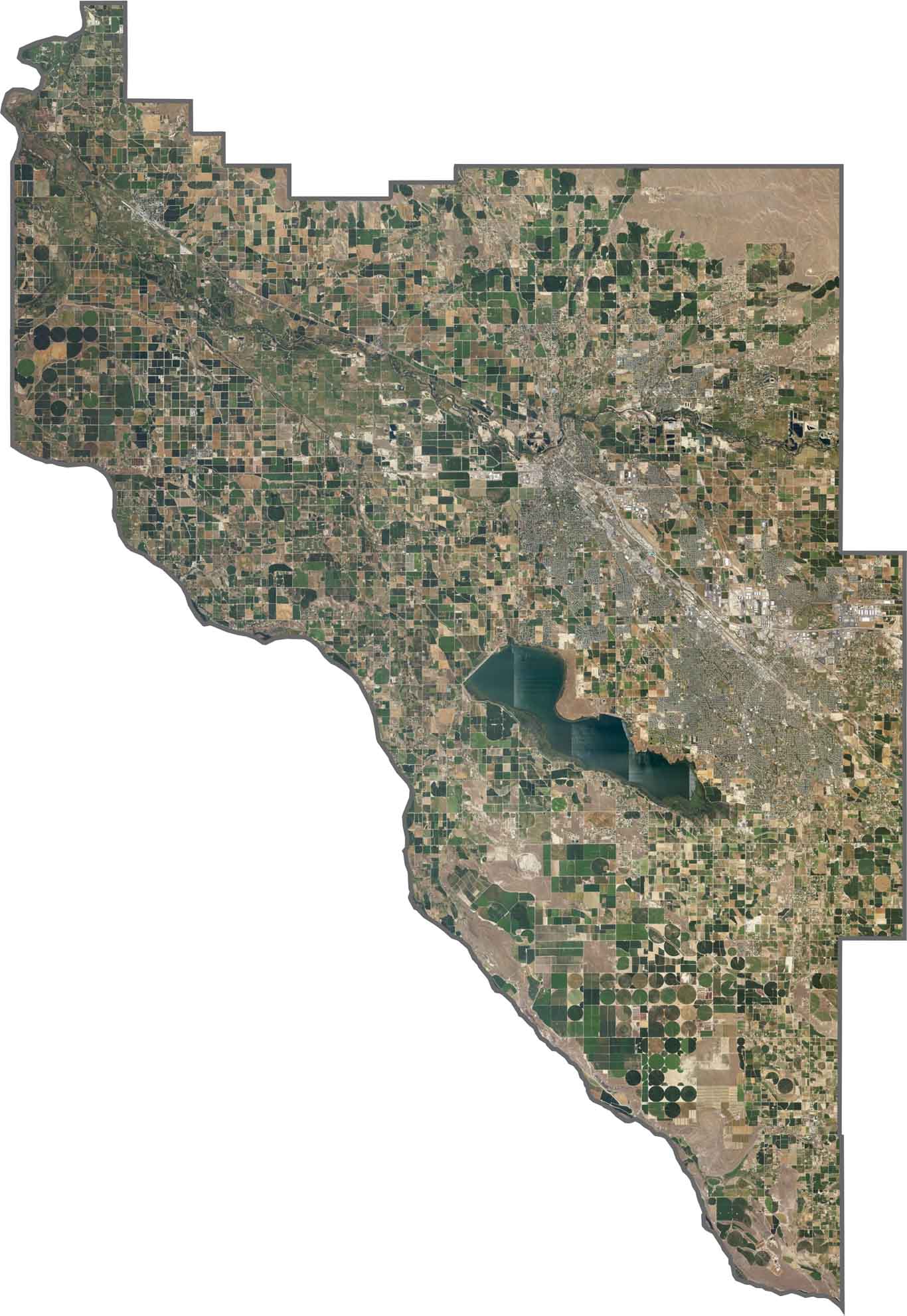
From above, Canyon County appears expansive and largely agricultural. The Snake River winds through the western portion of the county, passing fields, pivot irrigation systems, and networks of farm roads that create distinctive patterns across the landscape.
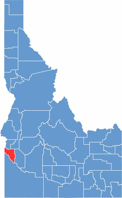
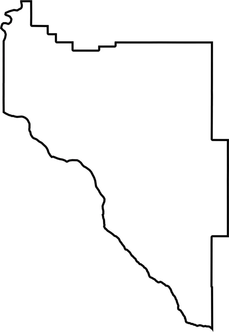
The Canyon County boundary has a large, blocky, roughly triangular shape with several uneven edges. The Snake River forms part of the southwestern boundary, while the remaining borders create a shape that looks almost ruler-straight in places, with a few rough and irregular sections.
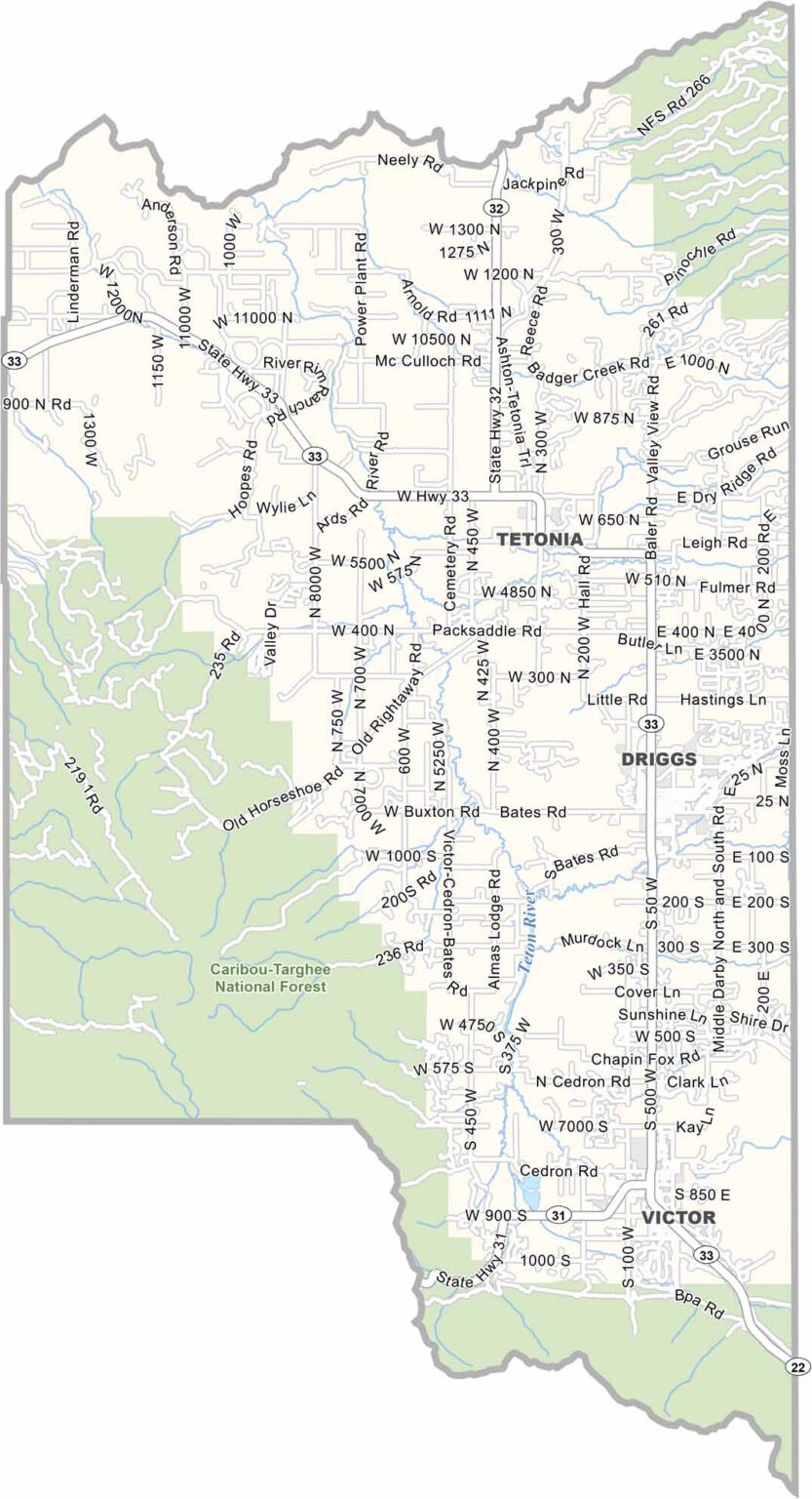
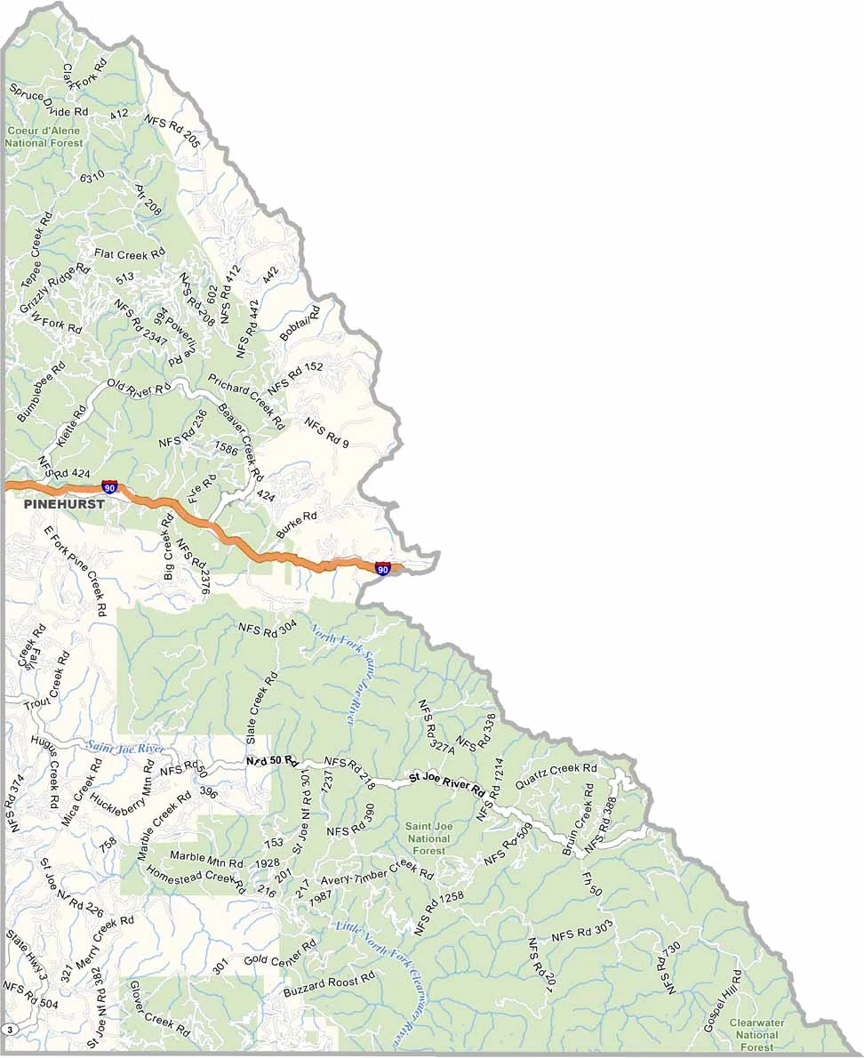
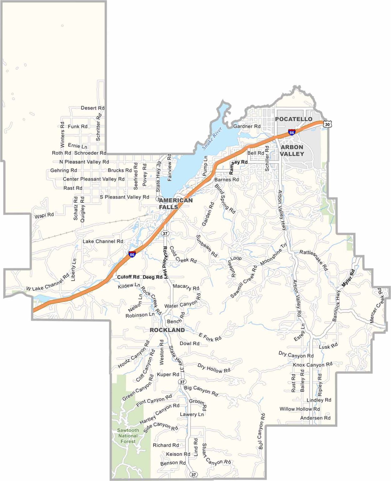
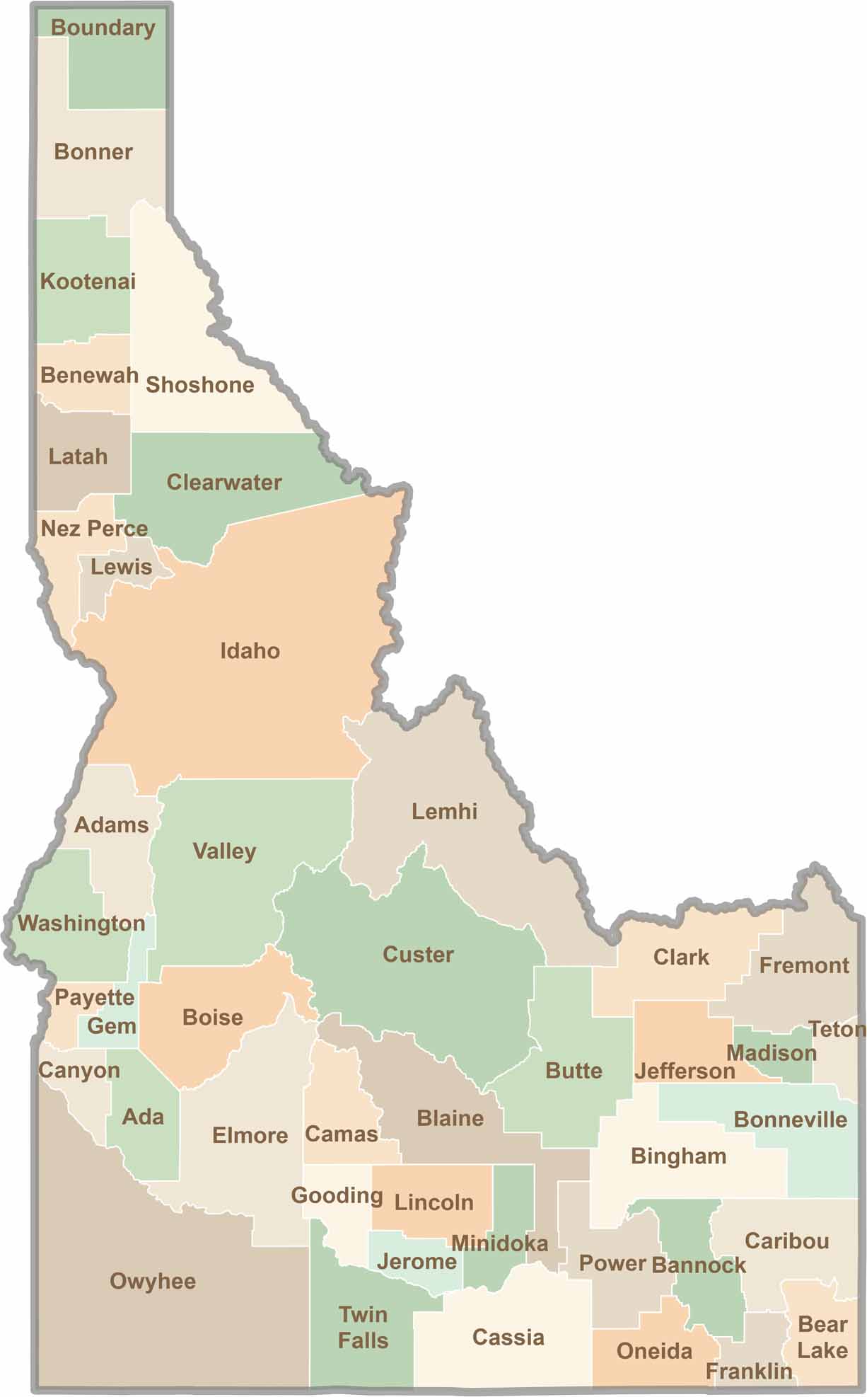
Discover the diverse landscapes of Idaho’s counties, from rugged mountain ranges and rolling plains to expansive forests and wild backcountry. Explore the vibrant heart of Boise, the scenic wilderness of Teton County, and the untamed forests of Shoshone County, each offering a unique glimpse into Idaho’s natural beauty.