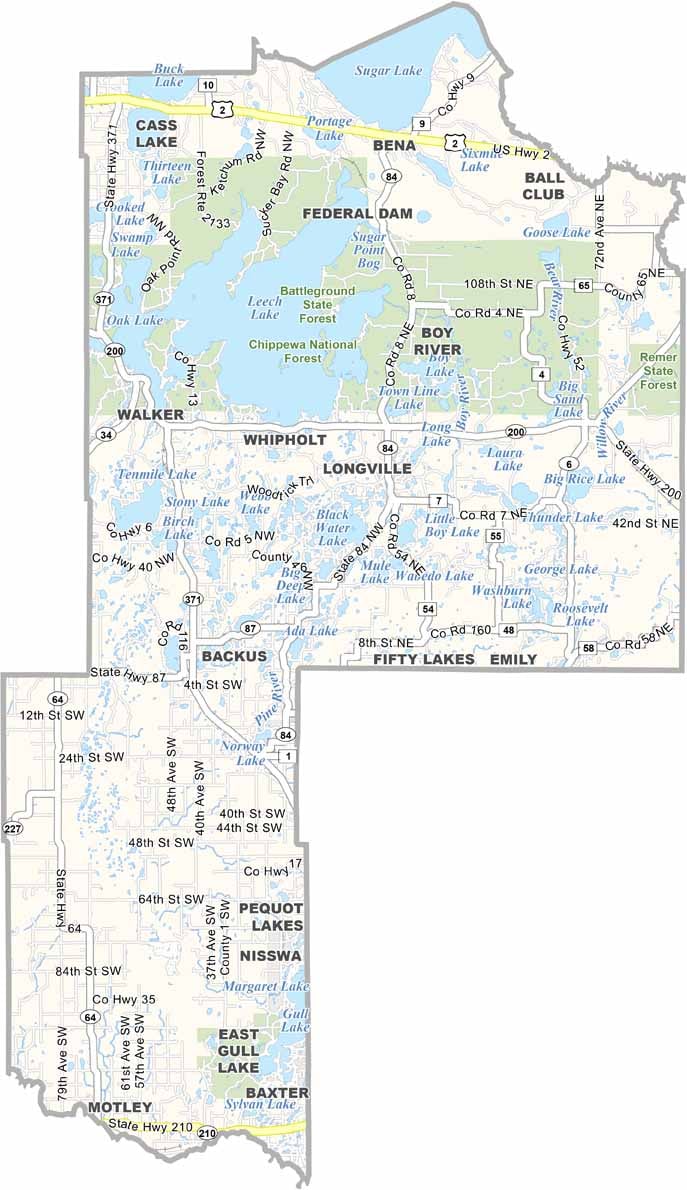
Cass County Map, Minnesota

Cass County, Minnesota

Cass County is up in northern Minnesota, where the lakes outnumber the people, and that's no joke. Walker, the county seat, is a small town that punches above its weight when it comes to charm.

Fishing is big here because of all the lakes. Yep, really big. You can't throw a stone without hitting water. The Chippewa National Forest covers a good chunk of Cass County, which means opportunities for hiking, camping, and getting lost (in a good way).

Tourists flock to the area, nearly doubling the population as they seek out that perfect lakeside vacation. Despite the influx, Cass County manages to hold onto its laid-back, small-town feel.
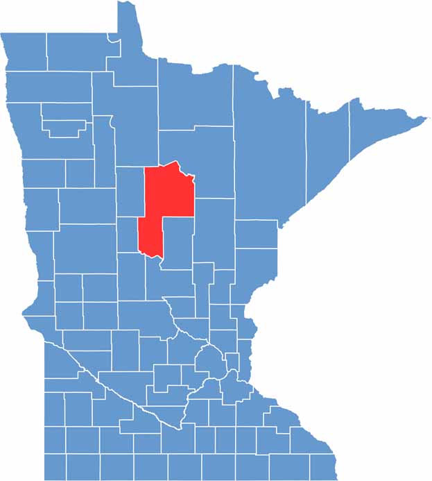

Cass County location map of Minnesota
CategoryDetails
County NameCass County
County SeatWalker
PopulationApproximately 30,000
Cities, Towns, and CommunitiesWalker, Cass Lake, Pine River, Hackensack, Backus, Remer, Federal Dam, Longville
Interstates and HighwaysUS 2, MN 6, MN 34, MN 84
FIPS Code27-021
Total Area (Land and Water)2,414 square miles (Land: 2,022 sq mi, Water: 392 sq mi)
Adjacent Counties (and Direction)Itasca County (Northeast), Aitkin County (East), Crow Wing County (Southeast), Morrison County (South), Todd County (Southwest), Wadena County (West), Hubbard County (Northwest), Beltrami County (North)
Time ZoneCentral Time Zone (CT)
StateMinnesota
Coordinates47.1336° N, 94.3154° W
EtymologyNamed after Lewis Cass, the Michigan Territory governor who organized the Wisconsin Territory
Major LandmarksLeech Lake, Chippewa National Forest, Leech Lake Indian Reservation, Deep Portage Conservation Reserve
Scroll to Top