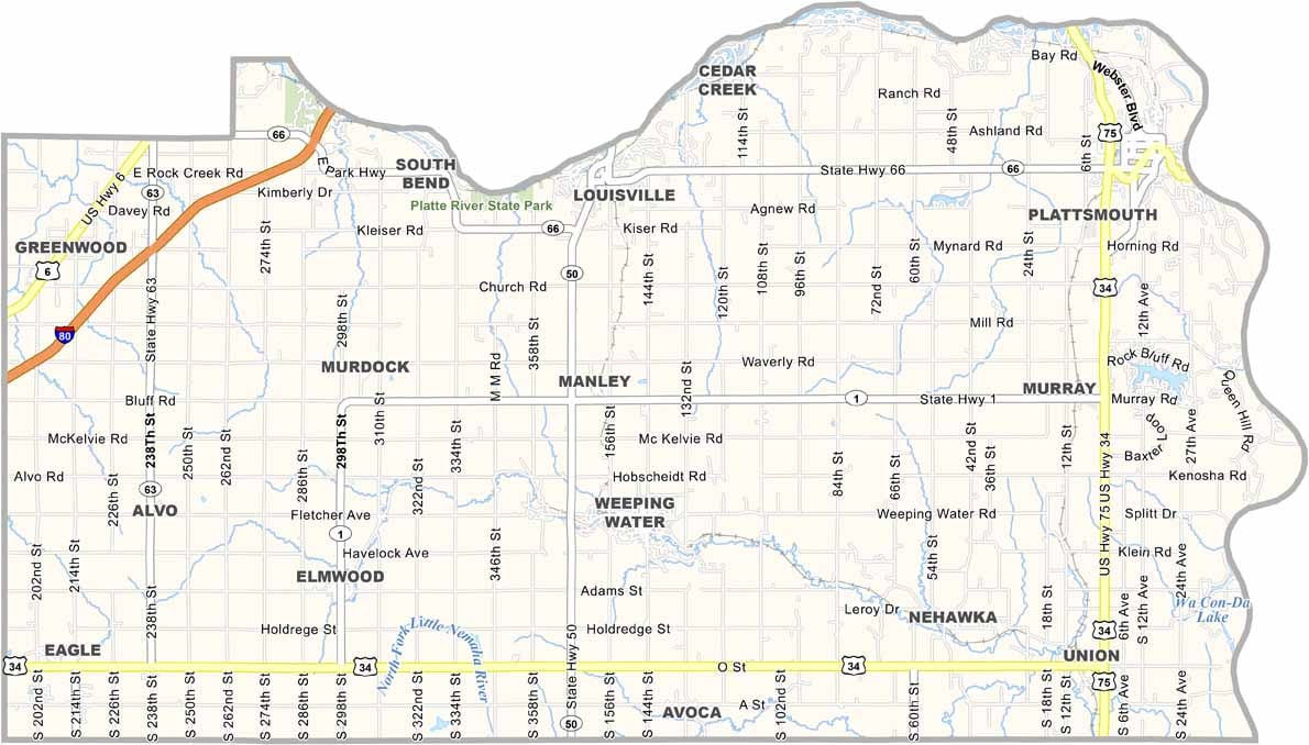
Cass County Map, Nebraska

Cass County, Nebraska

Cass County is located in eastern Nebraska, just south of Omaha. It’s named after Lewis Cass, a 19th-century statesman. Iowa lies directly to the east, separated from the county by the Missouri River.

Plattsmouth serves as the county seat and sits where the Platte River meets the Missouri. The landscape features a mix of rolling hills and river valleys, while farming remains a major part of the local economy.

A growing number of residents commute to Omaha for work. The county also has an interesting history, with several sites listed on the National Register of Historic Places. Platte River State Park is a popular destination for hiking and fishing.
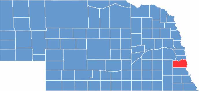

Cass County location map of Nebraska
CategoryDetails
County NameCass County
County SeatPlattsmouth
EtymologyNamed after Lewis Cass
Cities, Towns, and CommunitiesPlattsmouth, Louisville, Weeping Water, Eagle, Greenwood, Elmwood, Murray, Nehawka
Interstates and HighwaysI-80, US 34, US 75, NE 66
FIPS Code31-025
Total Area (Land and Water)566 square miles (Land: 557 sq mi, Water: 9 sq mi)
Adjacent Counties (and Direction)Sarpy County (North), Mills County, Iowa (Northeast), Fremont County, Iowa (Southeast), Otoe County (South), Lancaster County (West), Saunders County (Northwest)
Time ZoneCentral Time Zone (CT)
StateNebraska
Coordinates40.9250° N, 95.9454° W
Major LandmarksSchramm Park State Recreation Area, Platte River State Park, Louisville State Recreation Area
PopulationApproximately 26,000
Scroll to Top