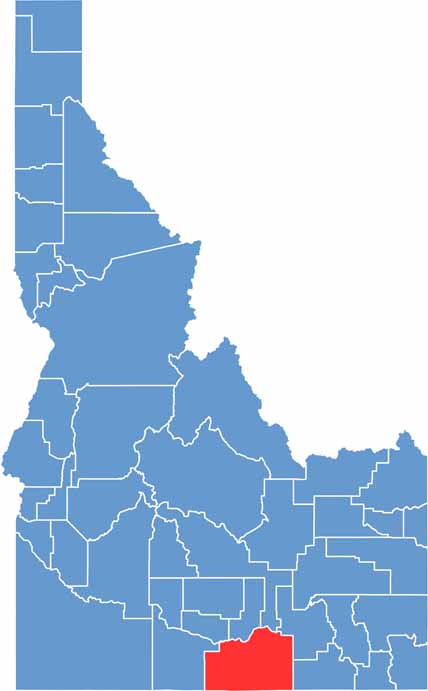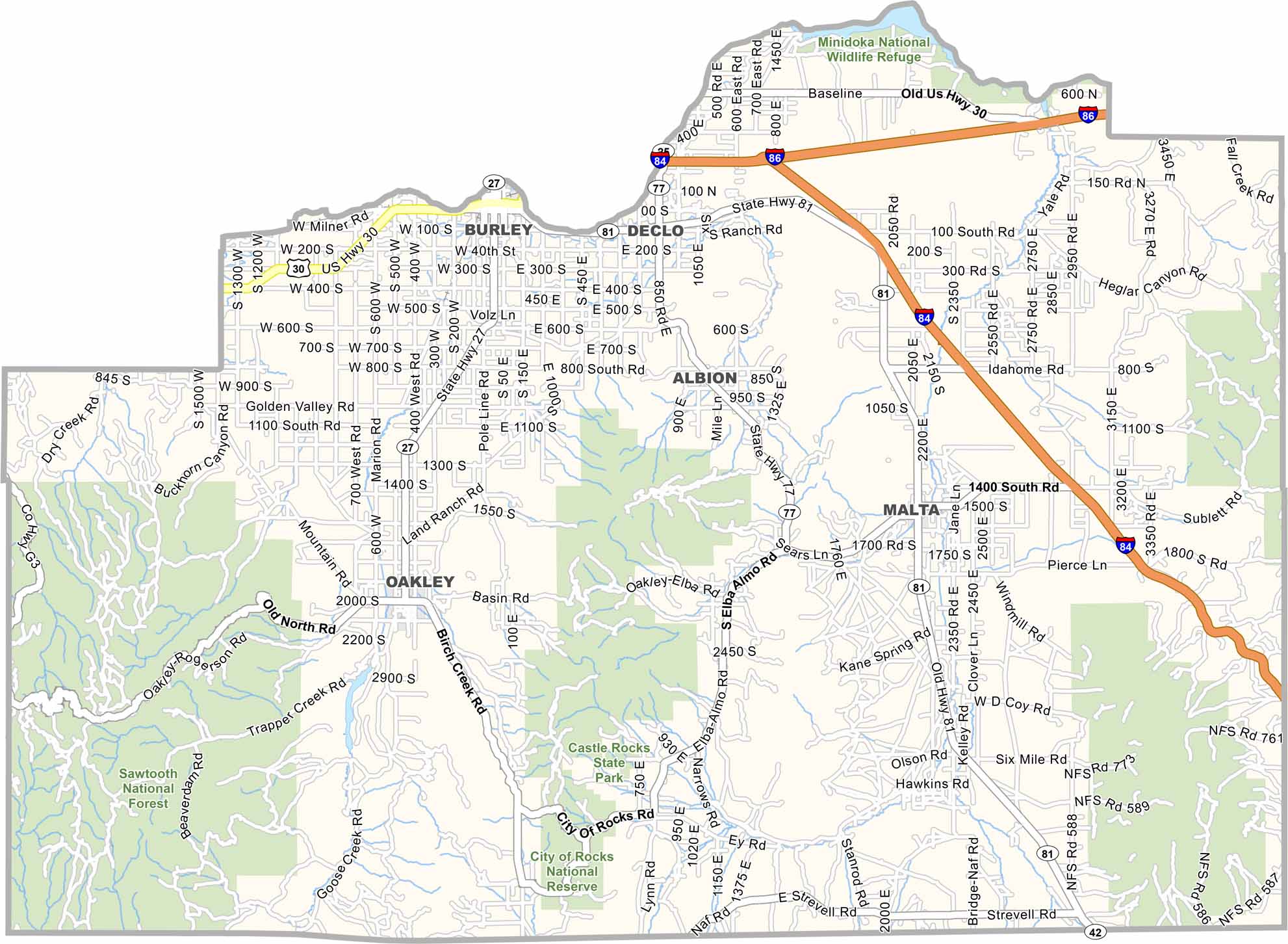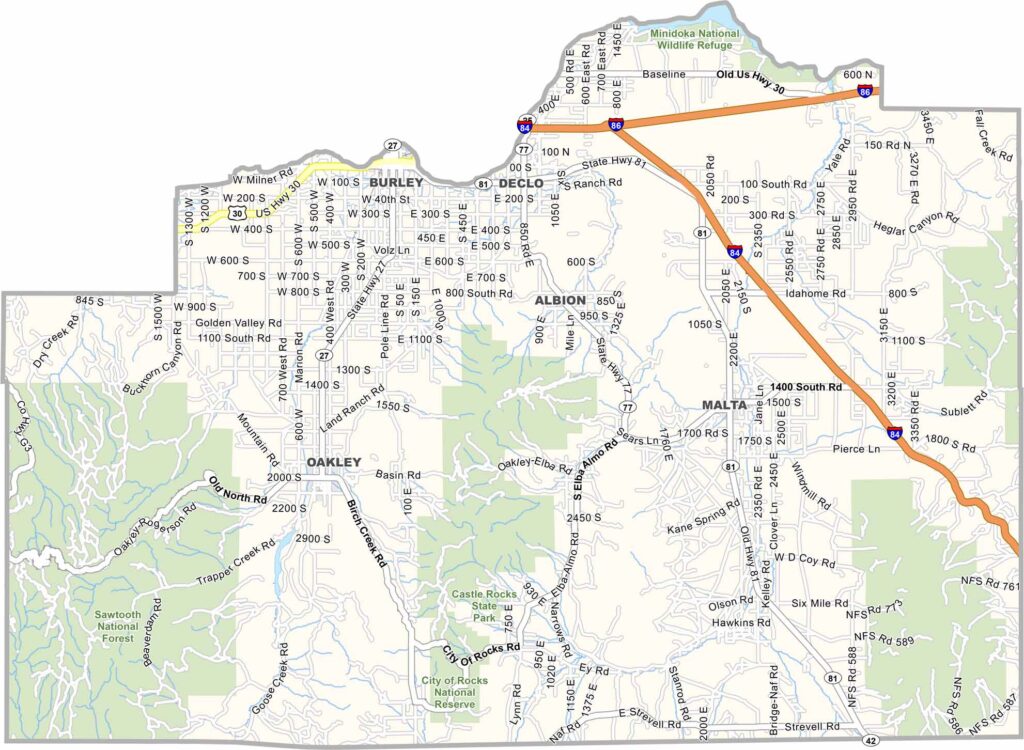
Cassia County stretches across south-central Idaho, where the Snake River Plain meets the surrounding mountains. Burley, the county’s largest town, sits along the Snake River near the northern edge and serves as a major agricultural hub. The region is known for farming, with extensive fields of potatoes, sugar beets, and wheat.
The landscape transitions between irrigated farmland and high desert, creating a striking contrast across the county. Summers can be scorching, while winters are often bitterly cold. City of Rocks National Reserve is one of the county’s standout attractions, featuring dramatic rock formations that have become a popular destination for rock climbing, hiking, and outdoor recreation.
Historic communities add even more character to Cassia County. Oakley is known for its distinctive stone buildings, while Almo offers a glimpse into the region’s past. A strong outdoor culture runs throughout the county, with hunting, fishing, and off-roading among the favorite activities. The area also has a strong Mormon cultural influence and a distinctly rural, hardworking character.