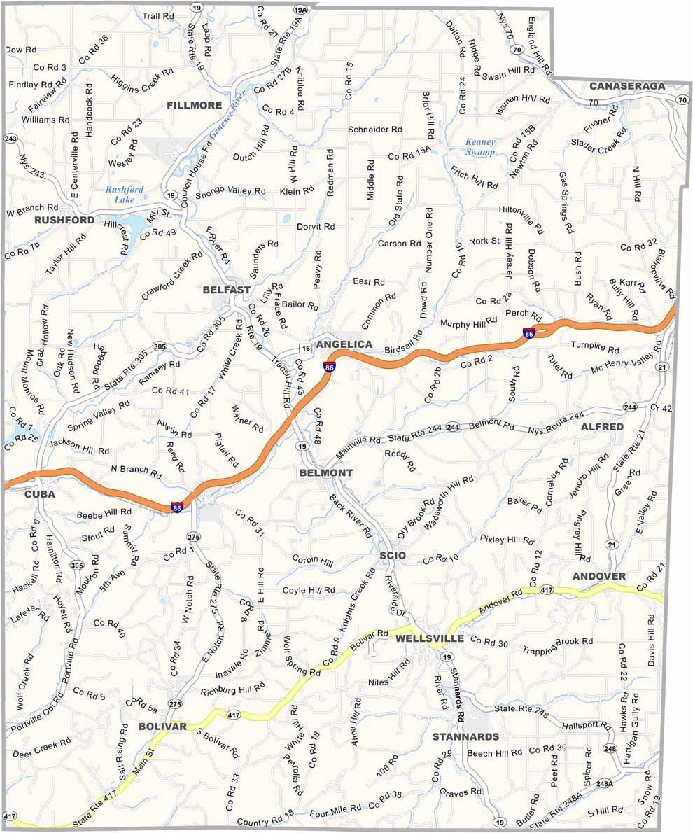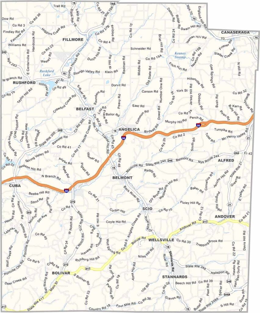
Allegany County Map, New York

Allegany County, New York

Allegany County is located in western New York, bordering Pennsylvania. This rural area is perfect for the outdoors, and hikers and campers love it, especially Wiscoy Falls in the northern part of the county.

The county has a rich Native American history, and you can still find arrowheads in some fields. Small towns like Wellsville and Cuba dot the landscape, while Alfred University brings a touch of academia to the region, known for its top-notch ceramics program.

Maple syrup is big business here, and in spring the air smells sweet as producers tap their trees. The Genesee River cuts through the heart of the county, creating beautiful scenery. Allegany County might be off the beaten path, but that's part of its appeal.
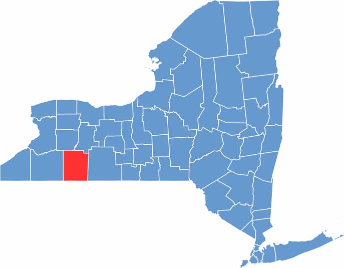

Allegany County location map of New York
CategoryDetails
County NameAllegany County
County SeatBelmont
EtymologyNamed after the Allegheny River, which flows through the county
Cities, Towns, and CommunitiesWellsville, Alfred, Cuba, Belmont, Houghton, Angelica
Interstates and HighwaysInterstate 86, U.S. Route 19, New York State Route 417, New York State Route 21
FIPS Code36-003
Total Area (Land and Water)1,034 square miles (1,029 sq mi land, 5 sq mi water)
Adjacent Counties (and Direction)Livingston County (Northeast), Steuben County (East), Potter County, Pennsylvania (Southeast), McKean County, Pennsylvania (Southwest), Cattaraugus County (West), Wyoming County (Northwest)
Time ZoneEastern Time Zone (ET)
StateNew York
Coordinates42.3128° N, 78.0195° W
Major LandmarksLetchworth State Park (nearby), Alfred University, Swain Ski Resort
PopulationApproximately 46,000
Scroll to Top