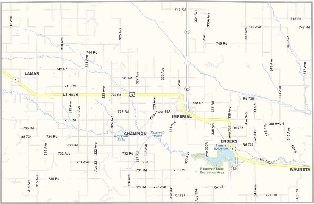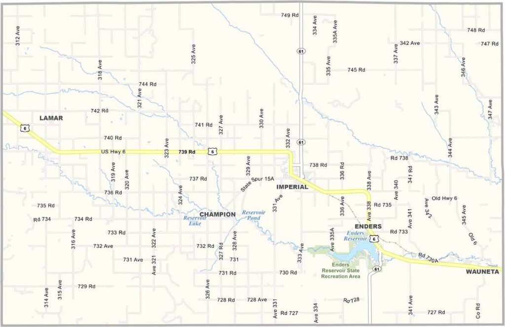
Chase County Map, Nebraska

Chase County, Nebraska

Chase County is located in southwestern Nebraska, right along the Colorado border. It’s named after Champion S. Chase, Nebraska’s first Attorney General. Imperial serves as the county seat.

The landscape has that classic High Plains feel, with plenty of wide-open spaces. Agriculture is the lifeblood of the county, with both crops and cattle playing major roles.

Enders Reservoir is a popular destination for fishing and boating. If you enjoy stargazing, the night sky here is absolutely breathtaking. For anyone who loves big skies and wide-open spaces, Chase County is hard to beat.
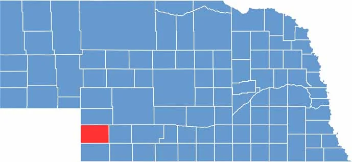

Chase County location map of Nebraska
CategoryDetails
County NameChase County
County SeatImperial
EtymologyNamed after Champion S. Chase, Nebraska’s first attorney general
Cities, Towns, and CommunitiesImperial, Wauneta, Lamar
Interstates and HighwaysUS 6, US 34, NE 61
FIPS Code31-029
Total Area (Land and Water)897 square miles (Land: 894 sq mi, Water: 3 sq mi)
Adjacent Counties (and Direction)Hayes County (East), Dundy County (South), Yuma County, Colorado (Southwest), Phillips County, Colorado (West), Perkins County (North)
Time ZoneMountain Time Zone (MT)
StateNebraska
Coordinates40.5256° N, 101.6855° W
Major LandmarksEnders Reservoir State Recreation Area, Champion Mill State Historical Park, Imperial Country Club
PopulationApproximately 4,000
Scroll to Top