Cherokee County, Kansas

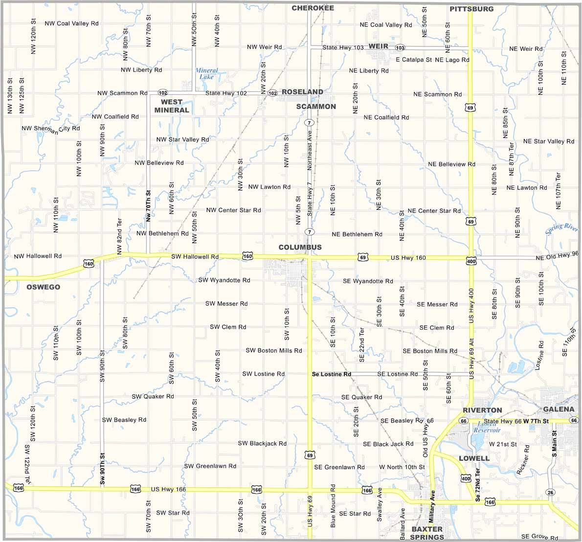
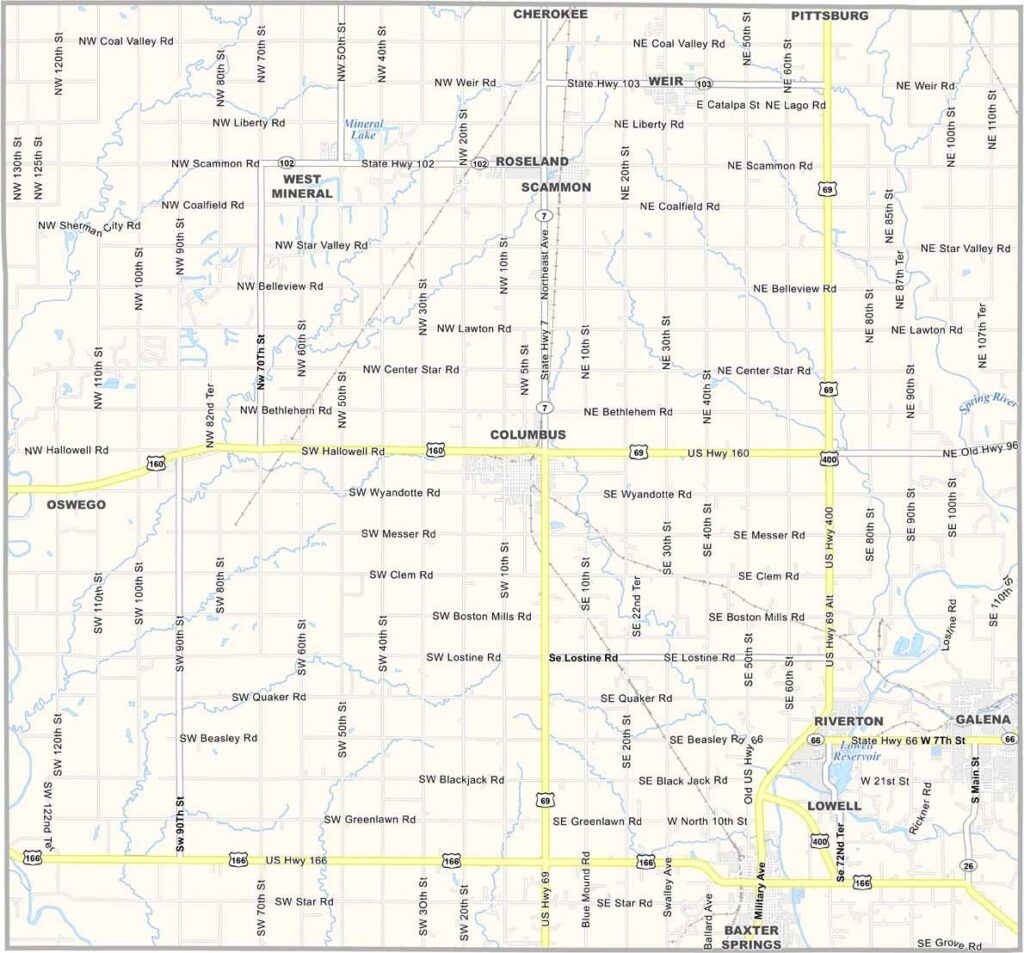
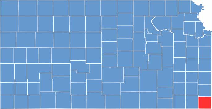
Cherokee County is located in the far southeastern corner of Kansas, along the Missouri and Oklahoma borders. The area has a strong connection to its coal-mining heritage, with remnants of historic mines reflecting the region’s industrial past.

Baxter Springs is known for its Route 66 heritage, including a restored Phillips 66 station that highlights the community’s connection to the historic highway. With about 20,000 residents, Cherokee County has a strong sense of community and many families with deep local roots.

History enthusiasts can visit the Baxter Springs Heritage Center, which highlights the area’s Civil War history and local heritage. The Rainbow Bridge near Riverton is another notable attraction and is recognized as one of the remaining historic arch bridges along old Route 66.
CategoryDetails
County NameCherokee County
County SeatColumbus
EtymologyNamed after the Cherokee Native American tribe
Cities, Towns, and CommunitiesColumbus, Baxter Springs, Galena, and several smaller communities
Interstates and HighwaysU.S. Highway 66, U.S. Highway 400, Kansas Highway 7
FIPS Code20-021
Total Area (Land and Water)634 square miles (land: 627 sq mi, water: 7 sq mi)
Adjacent Counties (and Direction)Crawford County (North), Jasper County, Missouri (East), Newton County, Missouri (Southeast), Ottawa County, Oklahoma (South), Craig County, Oklahoma (Southwest), Labette County (West)
Time ZoneCentral Time Zone (CST)
StateKansas
Coordinates37.18°N, 94.73°W
Major LandmarksThe historic town of Baxter Springs, the Old Iron Post Trail, and the Baxter Springs Heritage Center
Population19,500
Scroll to Top