
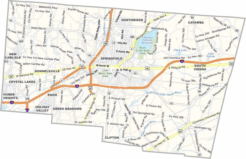
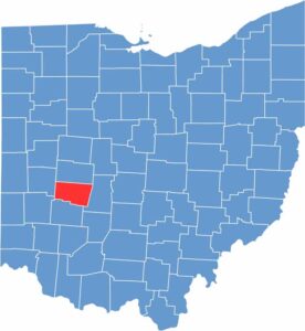
Clark County is located in southwestern Ohio, about 40 miles west of Columbus. Springfield, the county seat, was once called the “Champion City” because of its thriving manufacturing industry. Today, it’s reinventing itself with a focus on healthcare and education.
Wittenberg University is located in Springfield and has more than 1,000 full-time students. The county also has deep agricultural roots, with plenty of farms still scattered across the landscape.
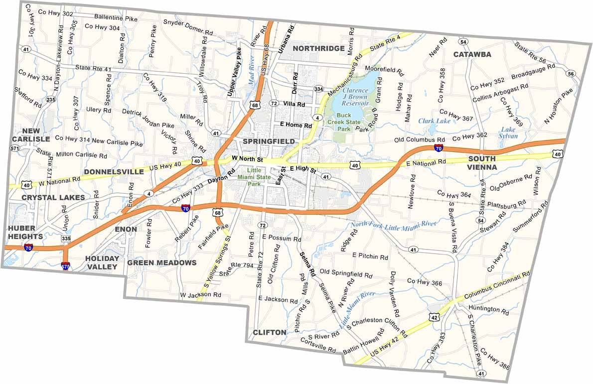
Visitors can explore the many 19th-century buildings found downtown. Outdoor enthusiasts can enjoy Buck Creek State Park, which offers boating, fishing, and camping. The county’s location along I-70 also makes it easy to access.
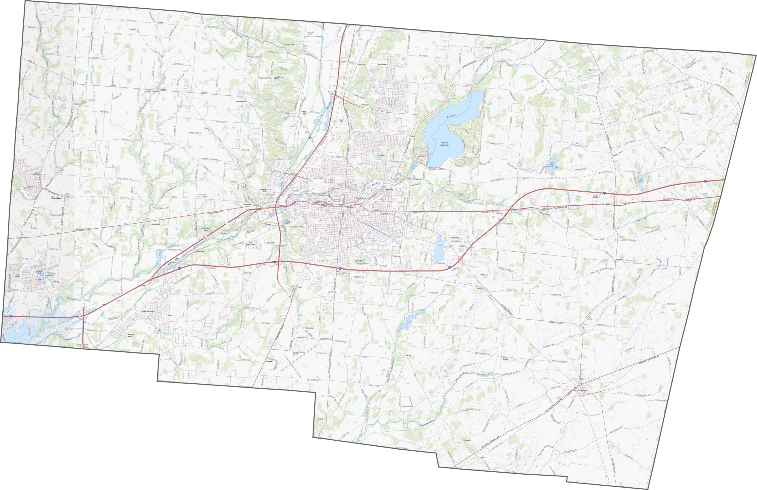
Interstate 70 runs straight across Clark County from west to east, while U.S. Route 68 cuts vertically through the area. The two routes meet near Springfield, the county seat. Several state highways, including Routes 4, 40, and 42, fill in the gaps between the major roads.
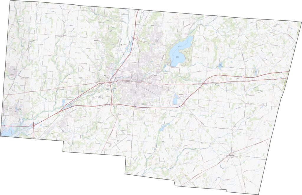
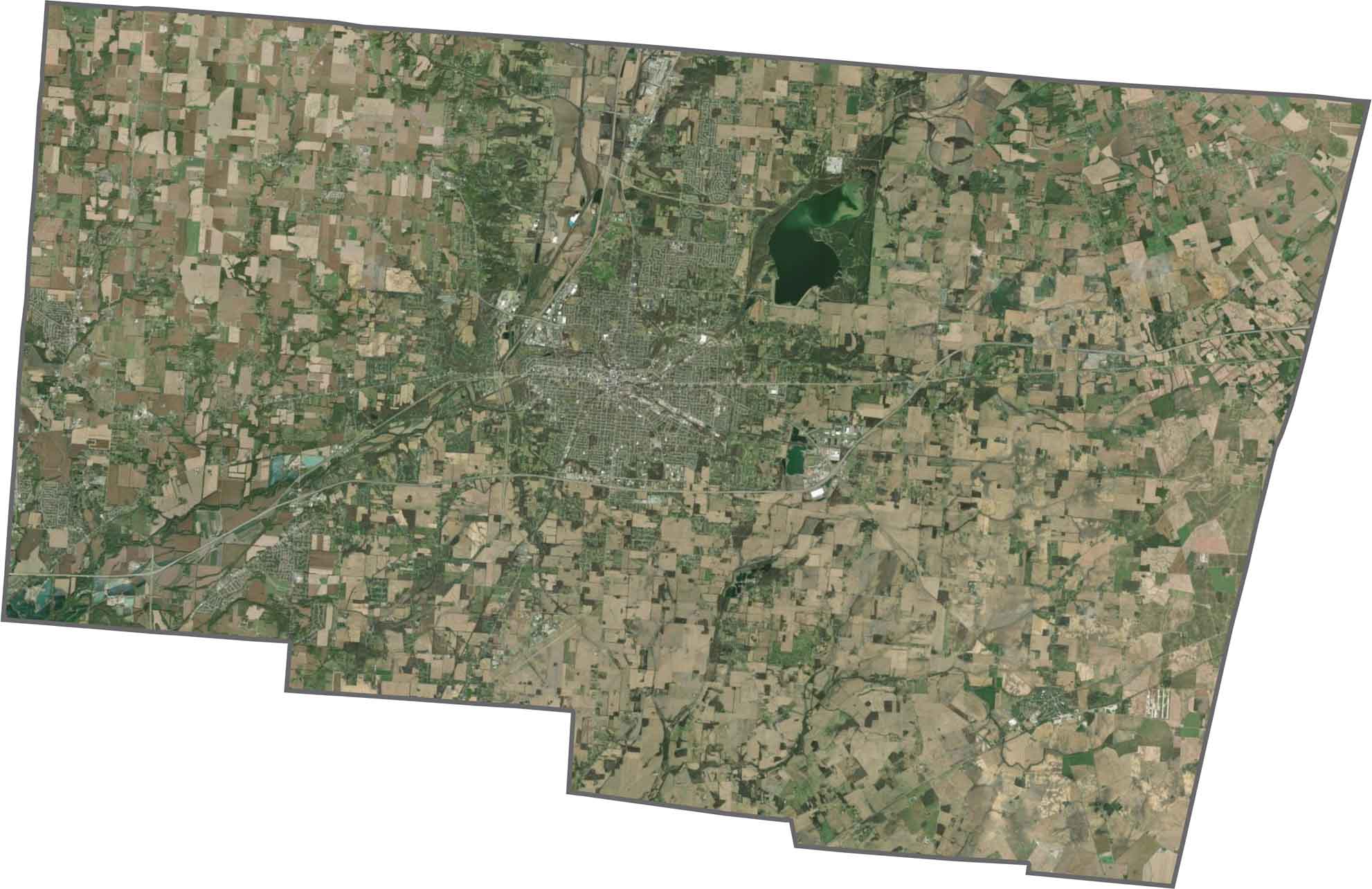
Springfield dominates the center of the county. Farmland surrounds the city, while suburbs and commercial areas spread outward. Even with this development, green fields and wooded patches still cover much of the landscape. The Mad River and several lakes are also visible from above.
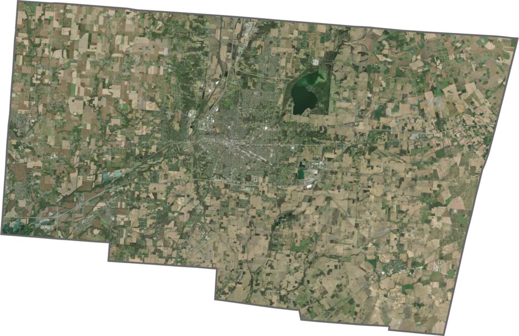
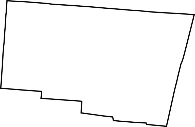
Clark County has a simple shape that is close to square but slightly stretched. It does not border another state, and no major river forms part of its boundary.








Forget the coast. Ohio’s 88 counties are where everyday America comes alive. No pretense, no postcard perfection—just hardworking towns and quiet backroads that grow on you. This is the Midwest without the filter.