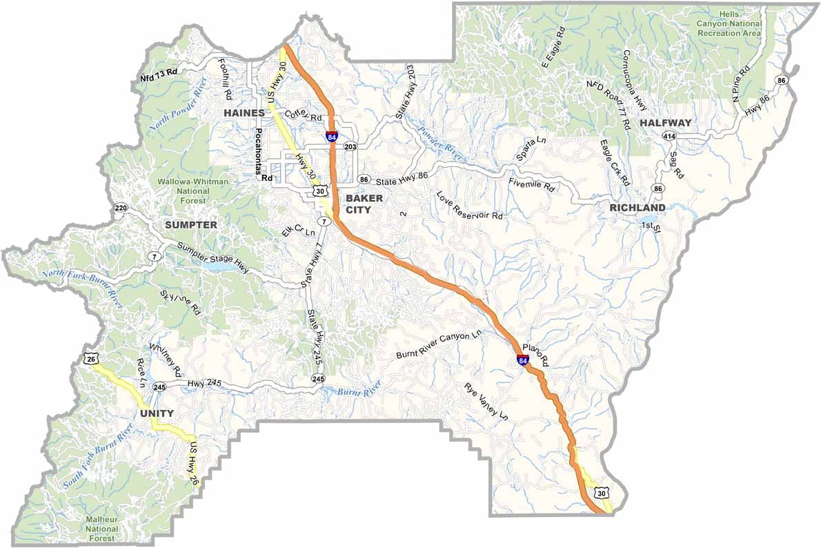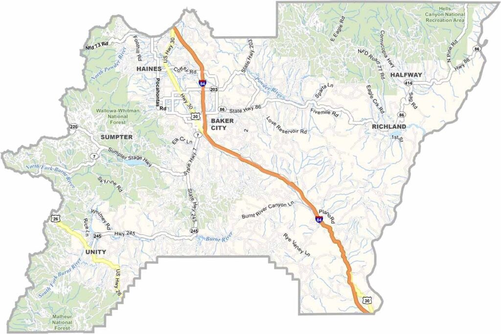
Baker County Map, Oregon

Baker County, Oregon

Baker County sits in the eastern corner of Oregon and is a land of extremes, with scorching summers and freezing winters. Gold brought the first settlers, but today it is hikers and skiers who strike it rich.

The Elkhorn Mountains rise high over the county, and locals swear by the healing powers of the hot springs scattered across it. Baker City, the county seat, still carries a whisper of the Old West.

Ranching runs deep here. The Snake River flows along the eastern border, carving out Hells Canyon, North America's deepest river gorge. It is a land that demands respect and rewards the adventurous.
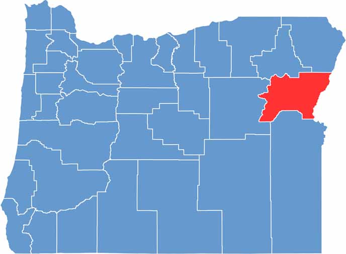

Location map of Baker County, Oregon
CategoryDetails
County NameBaker County
County SeatBaker City
EtymologyNamed after Edward D. Baker, the only U.S. Senator killed in military combat
Cities, Towns, and CommunitiesBaker City, Haines, Halfway, Sumpter, Huntington, Richland
Interstates and HighwaysInterstate 84, U.S. Highway 30, State Highway 7, State Highway 86
FIPS Code41-001
Total Area (Land and Water)3,088 square miles (3,068 sq mi land, 20 sq mi water)
Adjacent Counties (and Direction)Union County (North), Wallowa County (Northeast), Adams County, Idaho (East), Washington County, Idaho (Southeast), Malheur County (South), Grant County (West)
Time ZoneMountain Time Zone (MST)
StateOregon
Coordinates44°46’N, 117°50’W
Major LandmarksAnthony Lakes Mountain Resort, Sumpter Valley Railroad, Hells Canyon National Recreation Area
PopulationApproximately 16,000
Scroll to Top