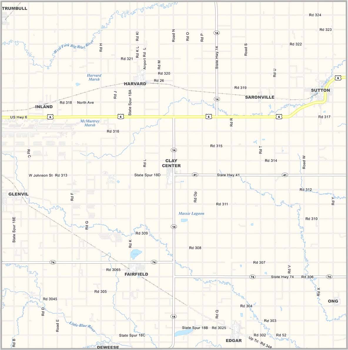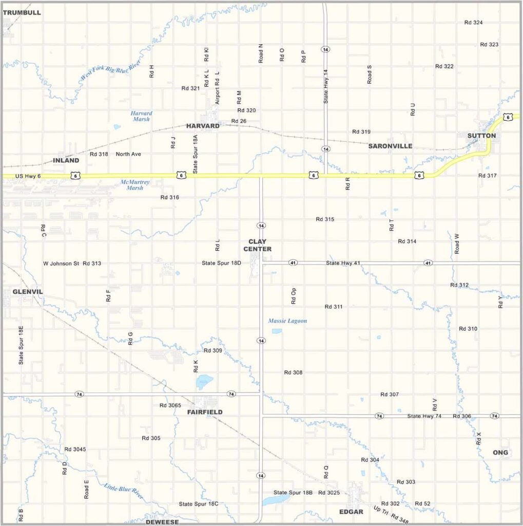
Clay County Map, Nebraska

Clay County, Nebraska

Clay County is located in south-central Nebraska, with Clay Center serving as the county seat. The county is named after Henry Clay, the well-known American statesman.

But don’t let the name fool you—it’s a fairly small place. The landscape is mostly flat farmland, with corn, soybeans, and other crops covering much of the area. Still, agriculture isn’t the whole story.

The county is also home to a large railway yard. Birdwatchers may enjoy the spring migration, when all kinds of waterfowl pass through the local wetlands. It may not be a major tourist destination, but for those who enjoy small-town living and wide-open spaces, Clay County has plenty to offer.
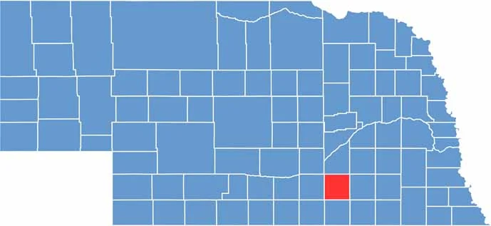

Clay County location map of Nebraska
CategoryDetails
County NameClay County
County SeatClay Center
EtymologyNamed after Henry Clay, a prominent American statesman
Cities, Towns, and CommunitiesClay Center, Sutton, Harvard, Edgar, Fairfield, Glenvil, Deweese
Interstates and HighwaysUS 6, NE 14, NE 41, NE 74
FIPS Code31-035
Total Area (Land and Water)574 square miles (Land: 573 sq mi, Water: 1 sq mi)
Adjacent Counties (and Direction)York County (Northeast), Fillmore County (East), Thayer County (Southeast), Nuckolls County (South), Webster County (Southwest), Adams County (West), Hamilton County (North)
Time ZoneCentral Time Zone (CT)
StateNebraska
Coordinates40.5234° N, 98.0467° W
Major LandmarksClay County Historical Society Museum, Fairfield Opera House, Harvard Airport Park
PopulationApproximately 6,000
Scroll to Top