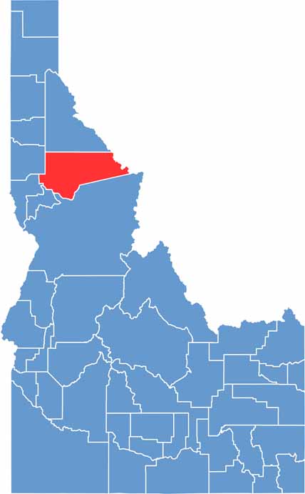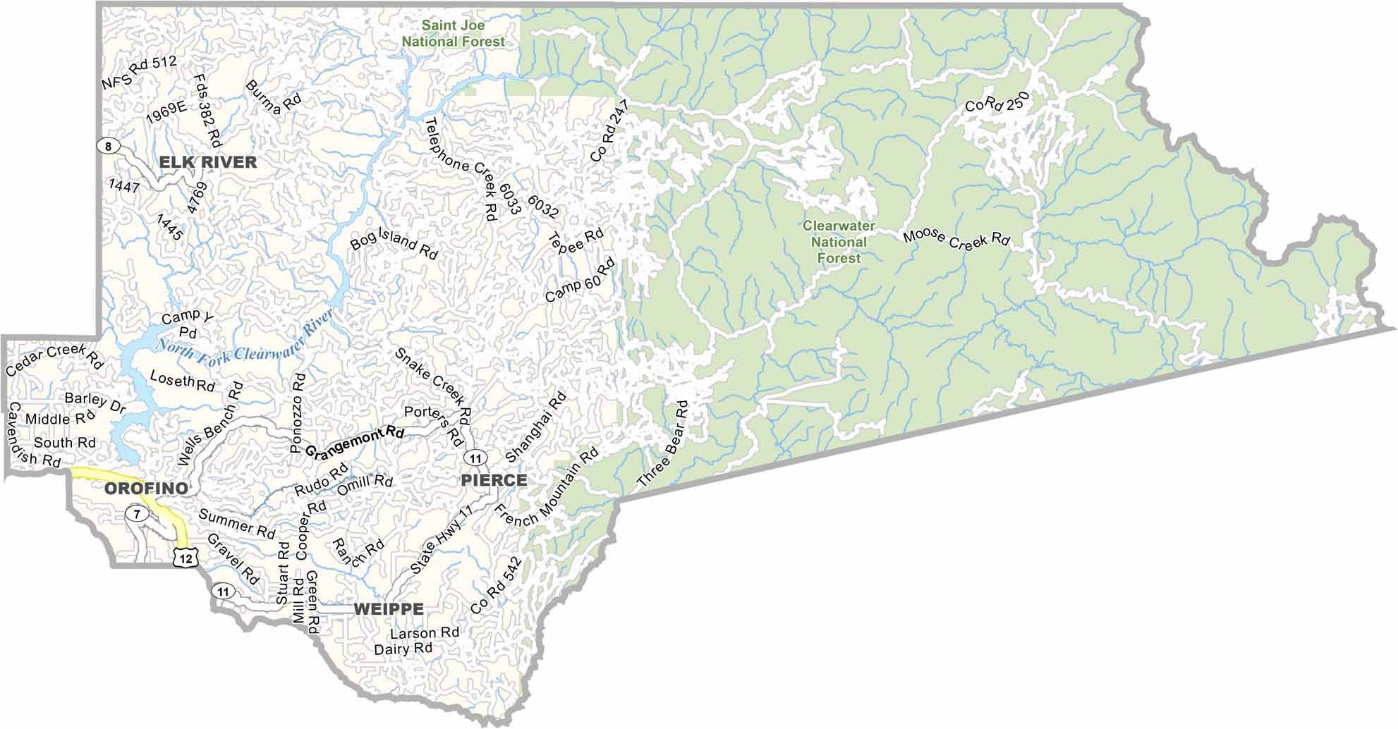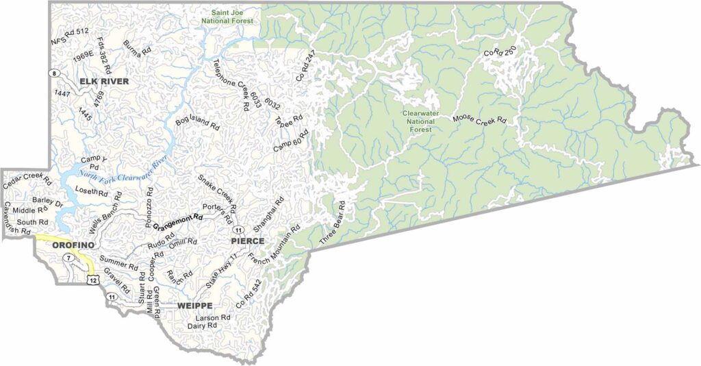
Clearwater County is tucked away in north-central Idaho, surrounded by deep forests, rugged mountains, and wild rivers. Orofino, the county seat, sits along the Clearwater River and has long been shaped by the logging industry, while outdoor tourism has become an increasingly important part of the local economy.
The landscape is lush, green, and dramatically different from the dry deserts of southern Idaho. Dworshak Reservoir is a major attraction for boating, fishing, and other outdoor recreation, while the surrounding wilderness provides plenty of opportunities for wildlife viewing, including elk and moose. The Nez Perce Tribe also has deep historical and cultural roots in the region.
The area has strong connections to the Lewis and Clark Expedition, whose route passed through this part of Idaho and can still be explored today. Winters are often wet and gloomy, while summers are beautiful but relatively short. With limited nightlife but endless opportunities for hunting, fishing, hiking, and wilderness adventures, Clearwater County has a strong culture of self-reliance and outdoor living.