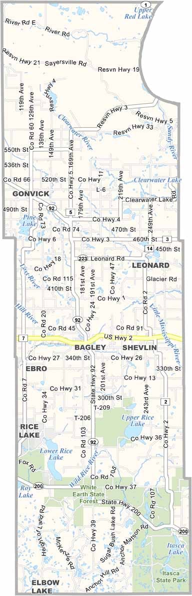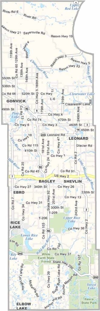
Clearwater County Map, Minnesota

Clearwater County, Minnesota

Clearwater County is up in the northwestern part of Minnesota. Its name comes from the crystal-clear waters that flow through its rivers and lakes, and they do it in a way that makes them hard to forget.

Bagley, the county seat, is located along U.S. Highway 2. People come here year-round to fish and hike, while winter brings snowmobiling and cross-country skiing.

The area's rich history includes Native American settlements and early European exploration. Itasca State Park, the headwaters of the Mississippi River, is partly located in Clearwater County. It's a must-visit spot.
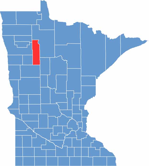

Clearwater County location map of Minnesota
CategoryDetails
County NameClearwater County
County SeatBagley
PopulationApproximately 8,500
Cities, Towns, and CommunitiesBagley, Clearbrook, Gonvick, Leonard, Shevlin, Pinewood, Ebro
Interstates and HighwaysUS 2, MN 92, MN 200
FIPS Code27-029
Total Area (Land and Water)1,030 square miles (Land: 999 sq mi, Water: 31 sq mi)
Adjacent Counties (and Direction)Beltrami County (Northeast), Hubbard County (Southeast), Becker County (South), Mahnomen County (Southwest), Polk County (West), Pennington County (Northwest)
Time ZoneCentral Time Zone (CT)
StateMinnesota
Coordinates47.6097° N, 95.3764° W
EtymologyNamed after the Clearwater River, which flows through the county
Major LandmarksItasca State Park, Mississippi River Headwaters, LaSalle Lake State Recreation Area
Scroll to Top