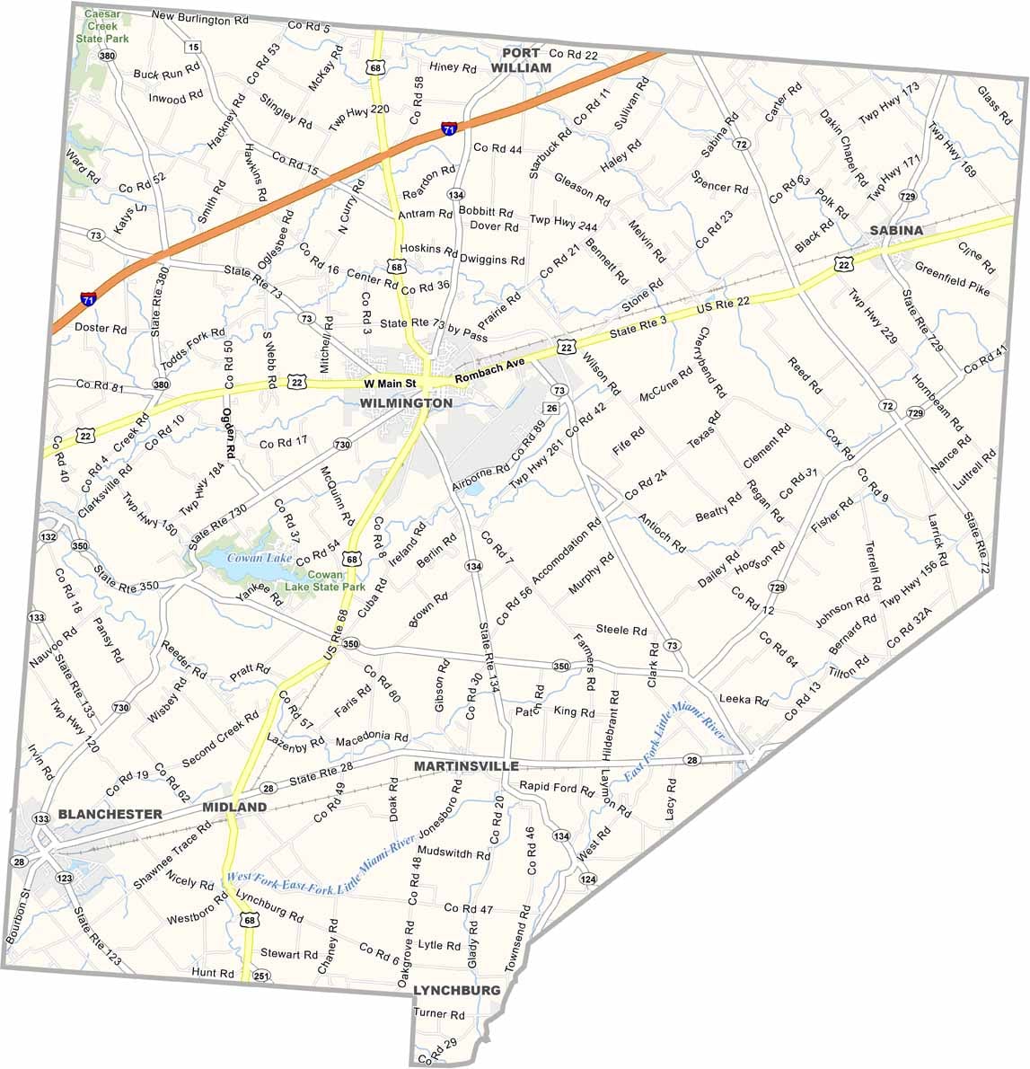
Clinton County Map, Ohio

Clinton County, Ohio

Clinton County, in southwestern Ohio, is full of surprises. Wilmington, the county seat, has a charming downtown with great shopping. Ever heard of the “Banana Split Festival”? That’s a Wilmington thing.

Agriculture is big here, and you’ll see plenty of corn and soybean fields as you drive around. The county has an interesting aviation history too: Clinton Field was once home to a WWII glider pilot training program.

These days, it’s all about community, and people take pride in their local events and traditions. The 1918 Murphy Theatre in downtown Wilmington still hosts shows. Clinton County is also home to Cowan Lake State Park, a popular spot for sailing and fishing.
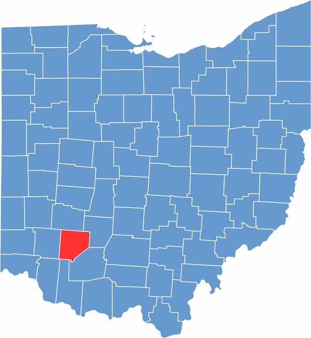

Clinton County location map of Ohio
CategoryDetails
County NameClinton County
County SeatWilmington
EtymologyNamed after George Clinton
Cities, Towns, and CommunitiesWilmington, Blanchester, Sabina, Martinsville
Interstates and HighwaysU.S. Highway 22, U.S. Highway 68, State Route 73
FIPS Code39-027
Total Area409 square miles (land and water)
Adjacent CountiesGreene County (North), Fayette County (Northeast), Highland County (Southeast), Brown County (South), Clermont County (Southwest), Warren County (West)
Time ZoneEastern Time Zone
StateOhio
Coordinates39.4509° N, 83.8112° W
Major LandmarksClinton County Historical Society Museum, Cowan Lake State Park
PopulationApproximately 44,000
Scroll to Top