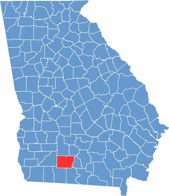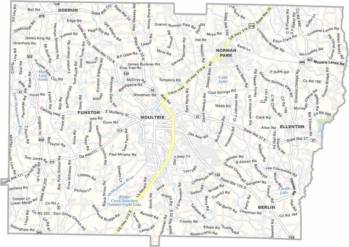
Colquitt County is located in the heart of south Georgia, with Moultrie serving as the county seat and largest city. Named after Walter T. Colquitt, a former judge and U.S. senator, the county has long been recognized for its deep agricultural roots and importance to Georgia’s farming industry.
Agriculture remains the foundation of the local economy, with cotton, peanuts, vegetables, and other crops grown across its fertile farmland. Often called the "Capital of the Agricultural South," the county hosts the annual Sunbelt Agricultural Exposition, one of the largest farm shows in North America. Reed Bingham State Park is another notable attraction, offering opportunities for fishing, hiking, and wildlife viewing.
Residents take great pride in their agricultural heritage and strong sense of community. Tractors and farm equipment are a common sight on local roads, reflecting the county’s close connection to the land. While Colquitt County faces the same challenges as many rural areas, its hardworking spirit, thriving farm sector, and welcoming atmosphere continue to define life in this part of Georgia.