
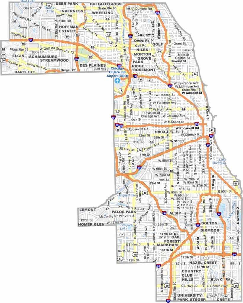
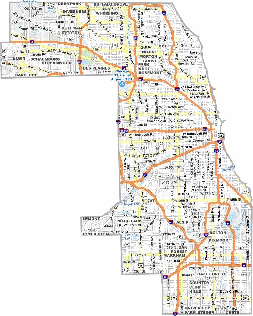
Cook County is at the heart of Chicagoland and is one of the largest and most populous counties in the United States. More than 5 million residents call the county home, with Chicago serving as its dominant urban center. However, there is much more to Cook County beyond the city itself.
Extensive suburbs stretch across the county, while the Lake Michigan lakefront adds a scenic dimension to the region. Skyscrapers shape Chicago’s famous skyline, and heavy traffic is a familiar part of daily life. The county is also celebrated for its incredible international food scene, with cuisines from around the world.
While Chicago L trains rumble above the streets, numerous parks and green spaces provide a break from the surrounding concrete. The county is filled with museums, theaters, and cultural attractions, yet it also has a quieter side, with extensive forest preserves spread throughout the area. Politics plays a major role in Cook County, adding to its reputation as a place of stark contrasts between urban energy and natural spaces.
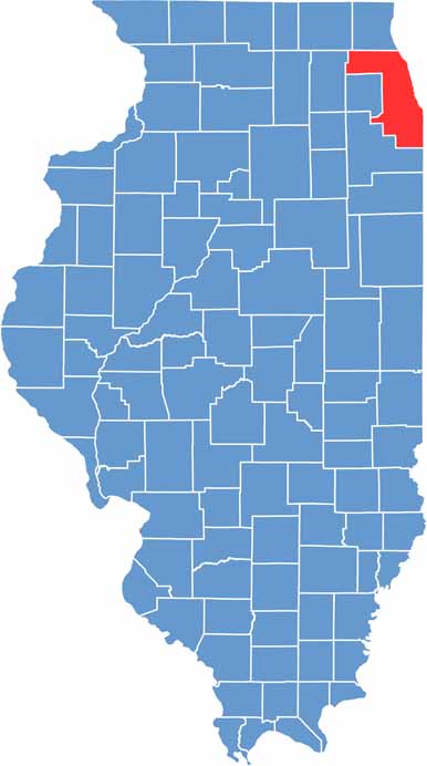
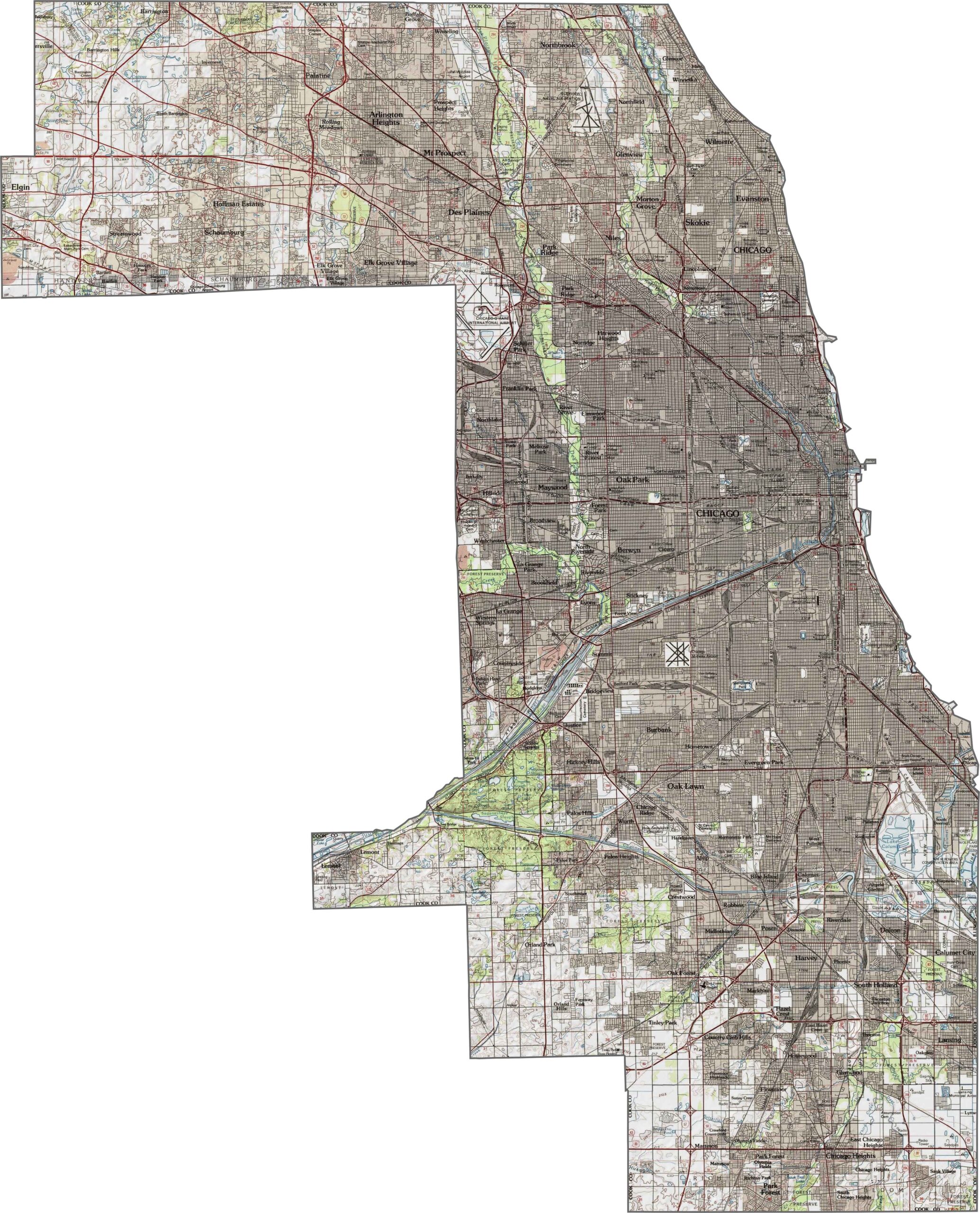
Cook County features a landscape of flat plains and gentle rises. While the Chicago skyline dominates much of the region, the Lake Michigan shoreline adds a scenic natural highlight. With more than 5 million residents, the county offers a distinctive blend of urban development and natural landscapes.
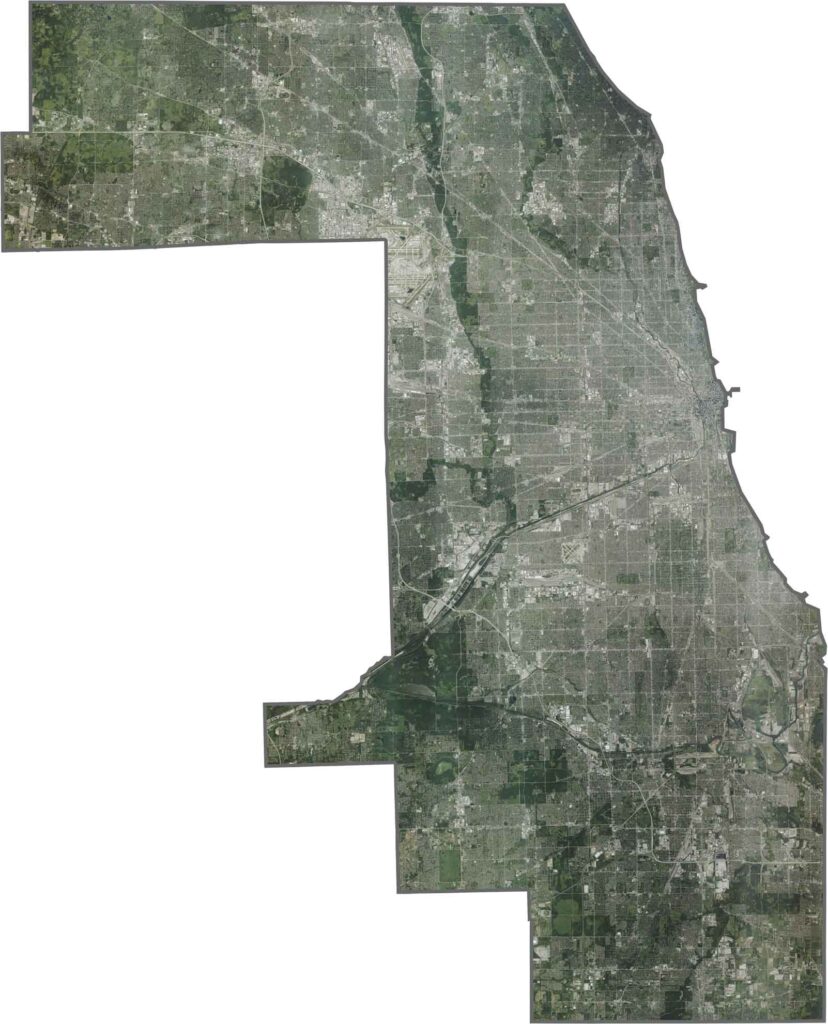
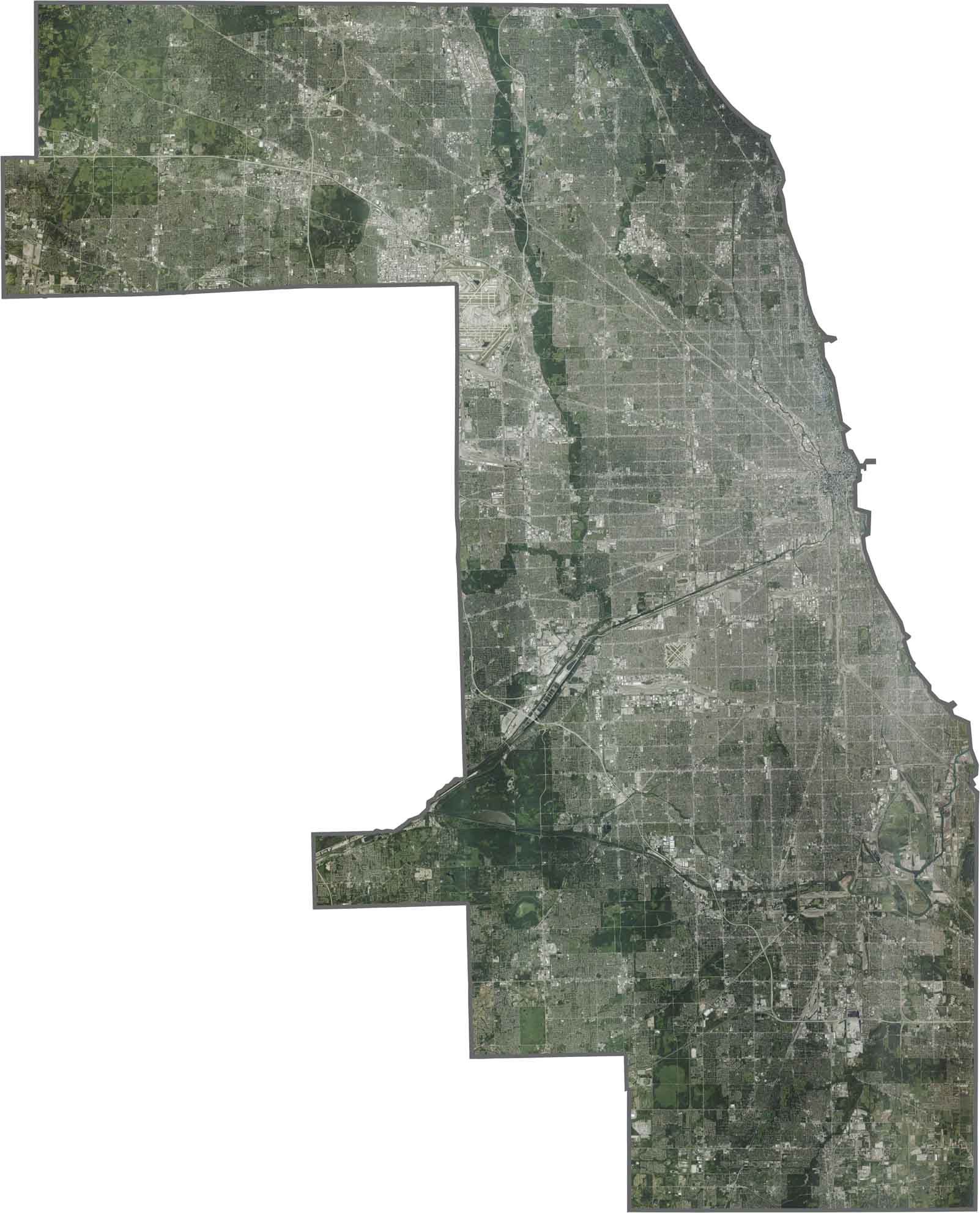
The Cook County satellite view is dominated by Chicago’s urban sprawl, with an extensive grid of streets stretching across the landscape. The blue curve of Lake Michigan defines the eastern edge, while forest preserves appear as dark green patches. Rivers wind through the city, adding natural features to the developed landscape. Explore the contrast between urban areas and nature with our zoom tool in the map below.
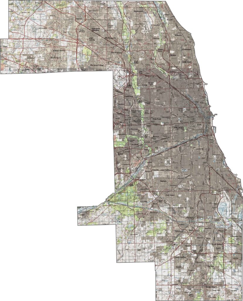
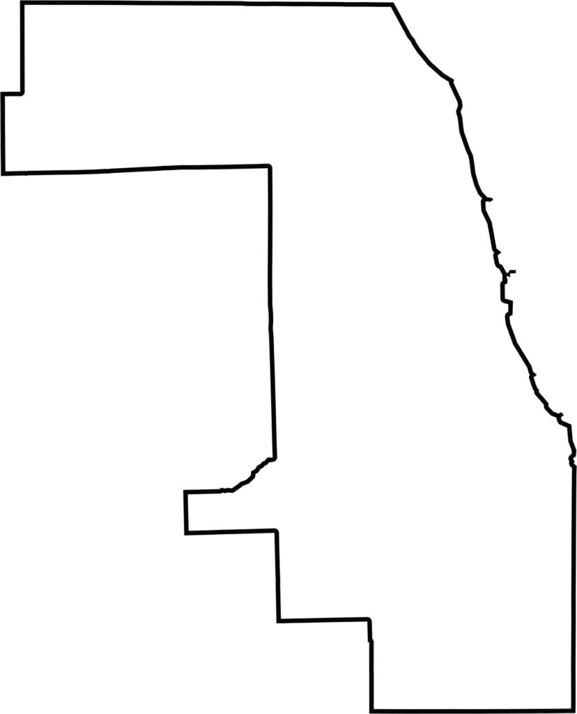
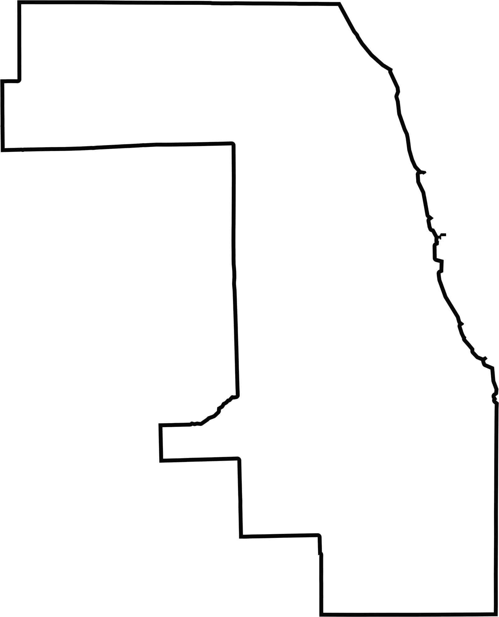
Cook County’s outline is somewhat jagged, particularly along the Lake Michigan shoreline. On a blank map, its shape appears as a collection of rough rectangular sections pieced together, creating a distinctive and irregular county boundary.






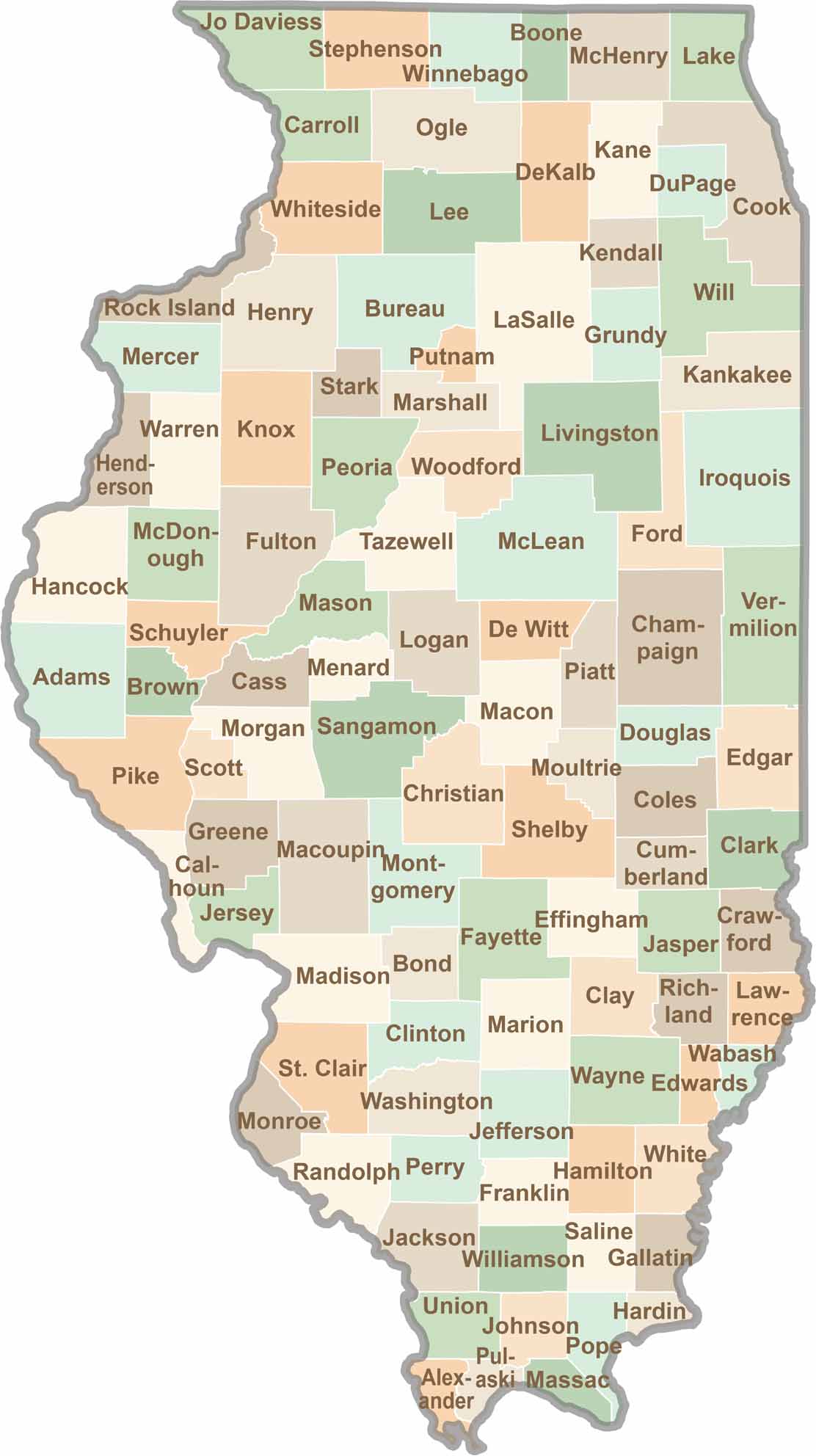
Ready to explore Illinois? Discover counties full of surprises, from the energy of Chicago and Cook County to the quiet beauty of Shawnee National Forest. Explore rich history, farmland, natural scenery, and small-town charm with our Illinois county map. Find your next adventure and discover all that Illinois has to offer.