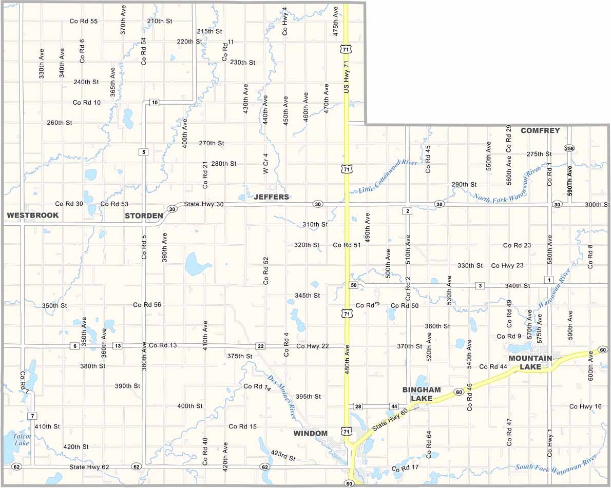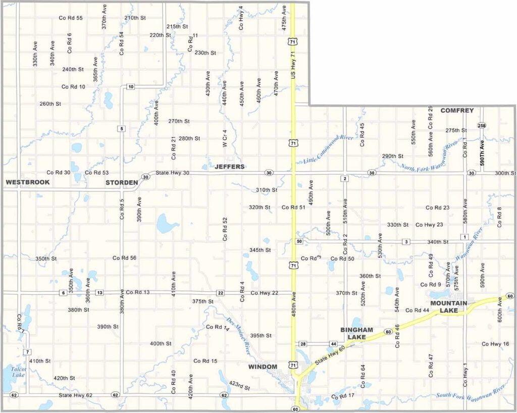
Cottonwood County Map, Minnesota

Cottonwood County, Minnesota

Cottonwood County lies in the southwest corner of Minnesota, an area of rolling prairies, sparkling lakes, and small towns. Windom, the county seat, has a main street lined with local businesses.

The county's rich agricultural heritage is evident in its patchwork of farms and fields. Looking for something outdoors? People enjoy Talcot Lake for fishing and birdwatching.

Despite its small population, the county hosts lively community events throughout the year. For a taste of true Minnesotan hospitality, look no further than Cottonwood County.
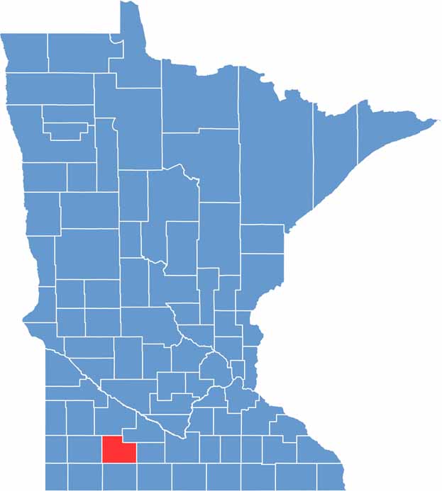

Cottonwood County location map of Minnesota
CategoryDetails
County NameCottonwood County
County SeatWindom
PopulationApproximately 11,000
Cities, Towns, and CommunitiesWindom, Mountain Lake, Westbrook, Jeffers, Storden, Bingham Lake, Comfrey
Interstates and HighwaysUS 71, MN 60, MN 62, MN 30
FIPS Code27-033
Total Area (Land and Water)649 square miles (Land: 639 sq mi, Water: 10 sq mi)
Adjacent Counties (and Direction)Redwood County (North), Brown County (Northeast), Watonwan County (East), Jackson County (South), Nobles County (Southwest), Murray County (West)
Time ZoneCentral Time Zone (CT)
StateMinnesota
Coordinates43.9372° N, 95.1938° W
EtymologyNamed for the cottonwood trees and Cottonwood River
Major LandmarksCottonwood County Historical Society, Jeffers Petroglyphs, Mountain Lake Heritage Village
Scroll to Top