
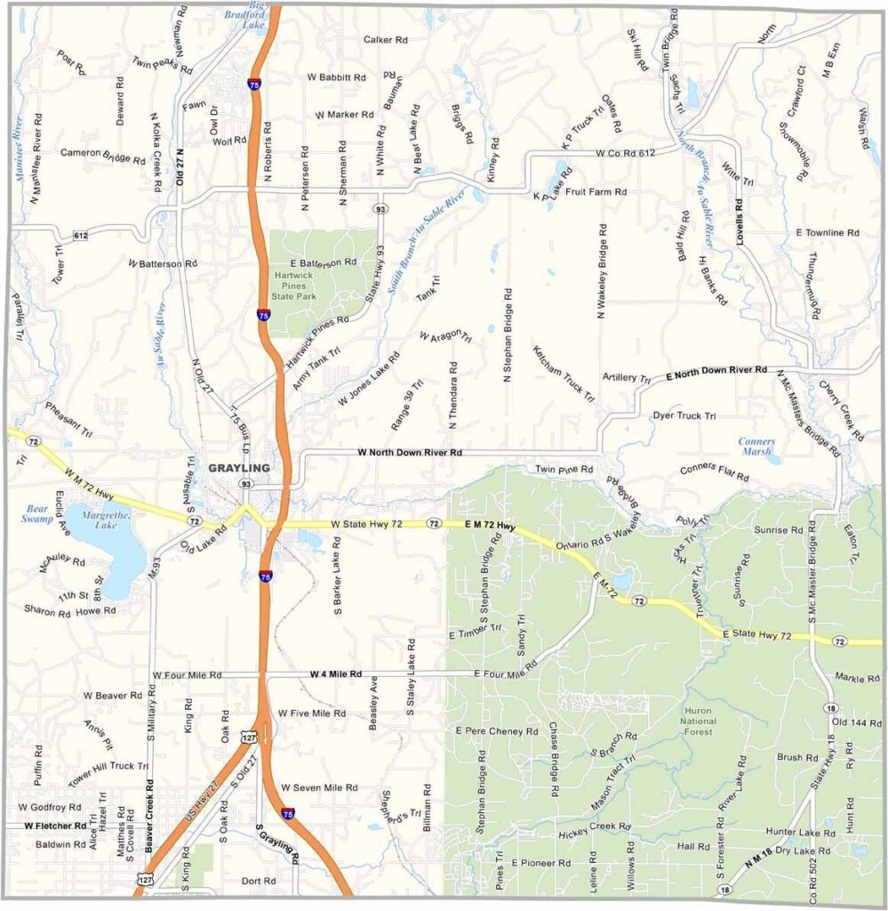
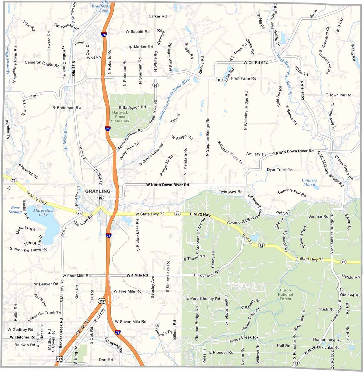
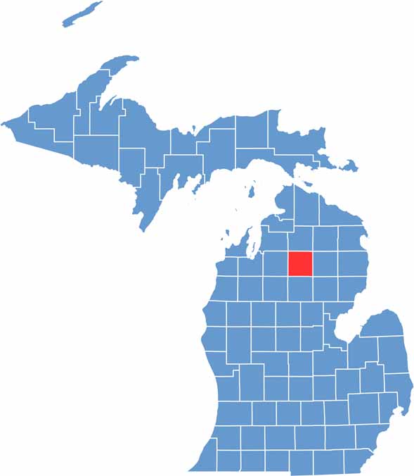
Crawford County, Michigan

Crawford County lies in the northern part of Michigan’s Lower Peninsula. It’s a place where nature takes center stage, with forests covering much of the land.

The county is named after Colonel William Crawford, a soldier in the American Revolution. The area has strong military roots, with Camp Grayling nearby.

Grayling, the county seat, sits along the AuSable River, a paradise for fly fishing. But if trees could talk, Crawford County would probably have some wild stories to tell.
CategoryDetails
County NameCrawford County
County SeatGrayling
Cities, Towns, and CommunitiesGrayling, Frederic, Beaver Creek Township, Lovells, South Branch
Interstates and HighwaysI-75, M-72, M-93
FIPS Code26-039
Total Area (Land and Water)563 square miles (Land: 556 sq mi, Water: 7 sq mi)
Adjacent Counties (and Direction)Otsego County (North), Montmorency County (Northeast), Oscoda County (East), Ogemaw County (Southeast), Roscommon County (South), Missaukee County (Southwest), Kalkaska County (West), Antrim County (Northwest)
Time ZoneEastern Time Zone (ET)
StateMichigan
Coordinates44.6834° N, 84.6113° W
EtymologyNamed after William Crawford, a politician and soldier from Georgia
Major LandmarksHartwick Pines State Park, Au Sable River, Grayling Fish Hatchery, Camp Grayling
PopulationApproximately 13,500
Scroll to Top