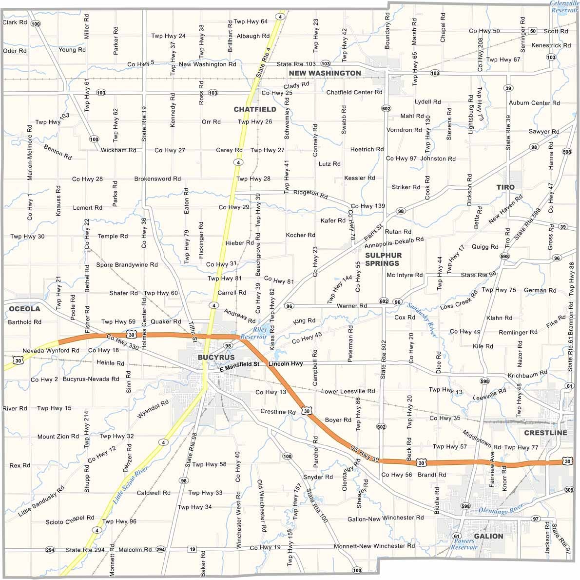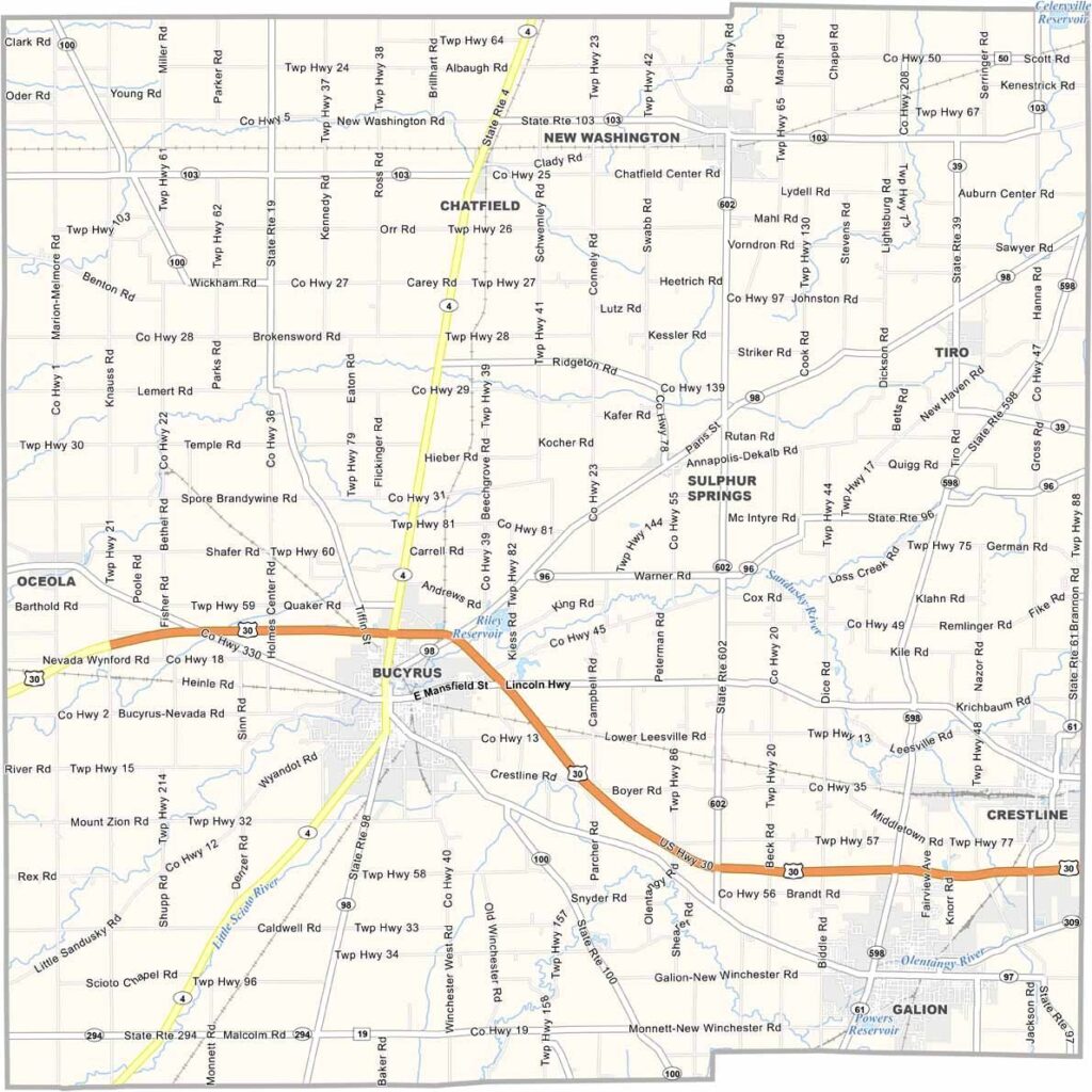
Crawford County Map, Ohio

Crawford County, Ohio

Crawford County sits right in the heart of north-central Ohio, and it has reinvented itself over the years. Once a hub for manufacturing, it now focuses on healthcare and education.

Bucyrus, the county seat, is known as the “Bratwurst Capital of America,” and the locals take their sausages seriously. The county’s agricultural roots run deep, and you’ll see plenty of farms as you drive around.

Crawford County is home to some unique attractions. The Lincoln Highway runs right through it, and the county has a rich Native American history you can explore at the Crawford Park District’s Lowe-Volk Park. For train buffs, there’s the AC&Y Railroad District.
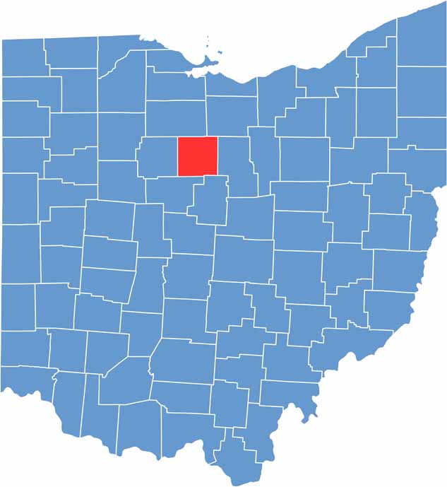

Crawford County location map of Ohio
CategoryDetails
County NameCrawford County
County SeatBucyrus
EtymologyNamed after William Crawford, a frontier hero
Cities, Towns, and CommunitiesBucyrus, Galion, Crestline, Nevada
Interstates and HighwaysU.S. Highway 30, State Route 4, State Route 98
FIPS Code39-033
Total Area404 square miles (land and water)
Adjacent CountiesSeneca County (North), Huron County (Northeast), Richland County (East), Morrow County (Southeast), Marion County (Southwest), Wyandot County (West)
Time ZoneEastern Time Zone
StateOhio
Coordinates40.8020° N, 82.9810° W
Major LandmarksCrawford Park District, Bucyrus Historical Society Museum
PopulationApproximately 43,000
Scroll to Top