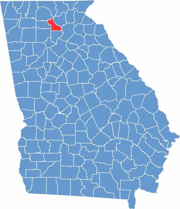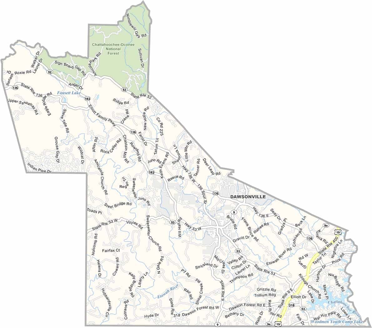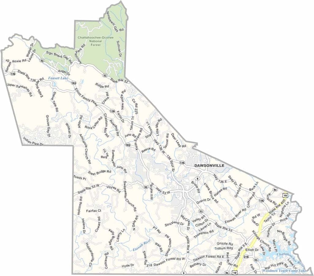
Dawson County is situated in the foothills of the North Georgia mountains and is known for its scenic landscapes and outdoor recreation opportunities. The county is home to Amicalola Falls, the tallest cascading waterfall east of the Mississippi River, making it a popular destination for hikers and nature enthusiasts.
Despite rapid growth, Dawson County has retained much of its mountain character. Dawson Forest Wildlife Management Area encompasses thousands of acres for hiking, hunting, fishing, and wildlife observation. The northern reaches of Lake Lanier also extend into the county, providing additional opportunities for boating and recreation.
Its proximity to Atlanta has fueled significant residential and commercial development in recent years. North Georgia Premium Outlets attracts shoppers from across the region, while Dawsonville, the county seat, is widely recognized for its deep connections to moonshine history and the origins of NASCAR racing.