
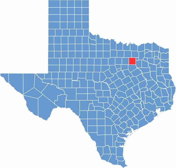
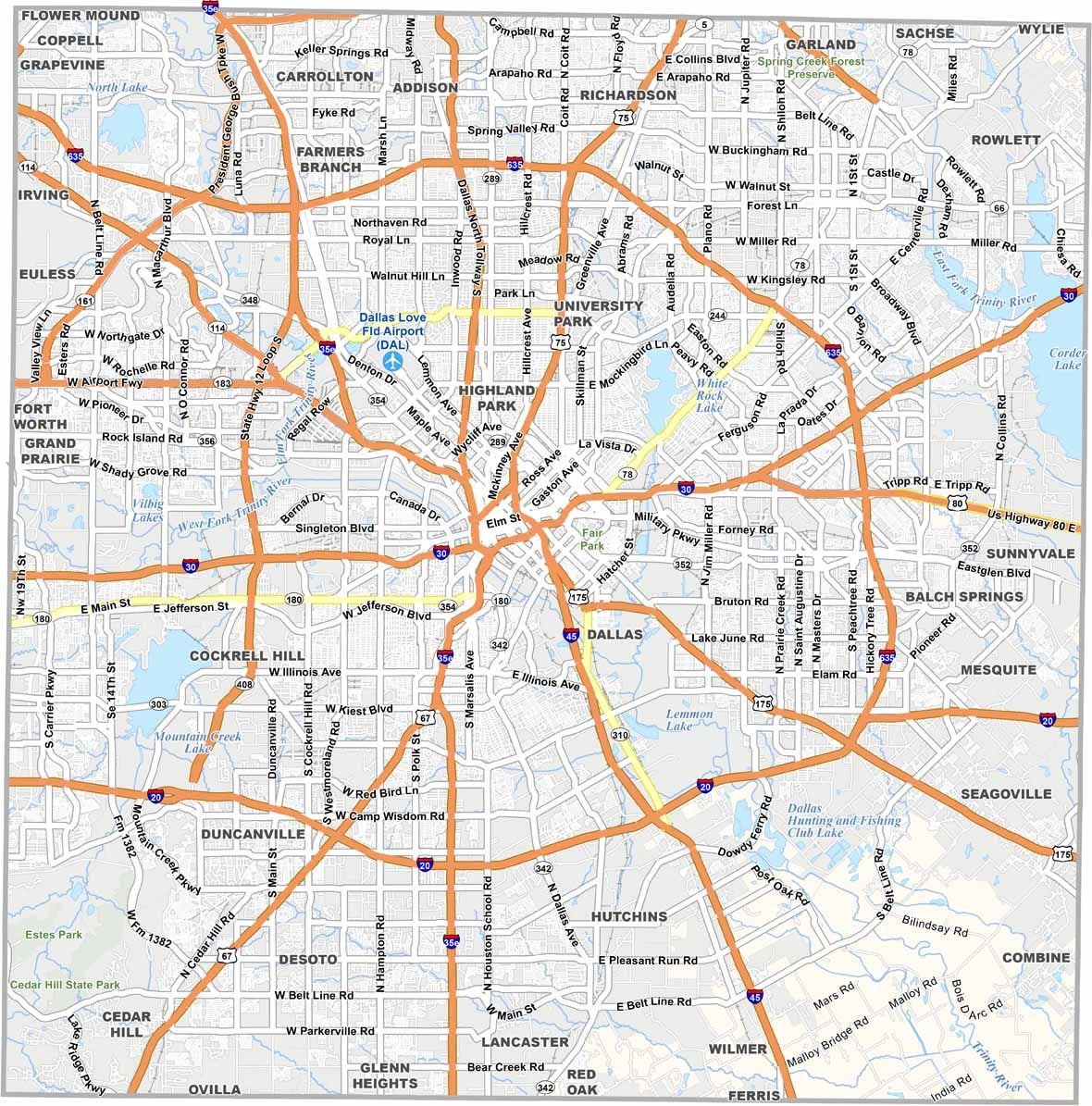
Right in the heart of North Texas, Dallas County is a whole different animal. It’s urban, it’s polished, and it’s always on the move. Dallas gets most of the attention, but the county is also home to 27 other cities, each with its own vibe.
This place has come a long way from its cowtown roots. Today, it’s filled with gleaming skyscrapers and sprawling suburbs. But you can still find traces of old Texas if you know where to look. The State Fair of Texas is a big deal, with fried everything and Big Tex saying, “Howdy, folks!”
Traffic is a nightmare, not gonna lie. But the food scene? Out of this world. Dallas County is incredibly diverse, with languages from all over the globe. The Arts District downtown is top-notch. And let’s not forget the sports—the Cowboys, Mavericks, and Stars. This county loves its teams.
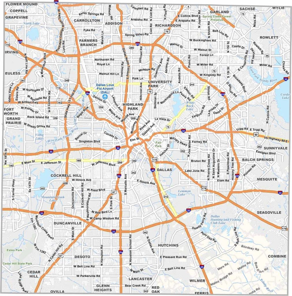
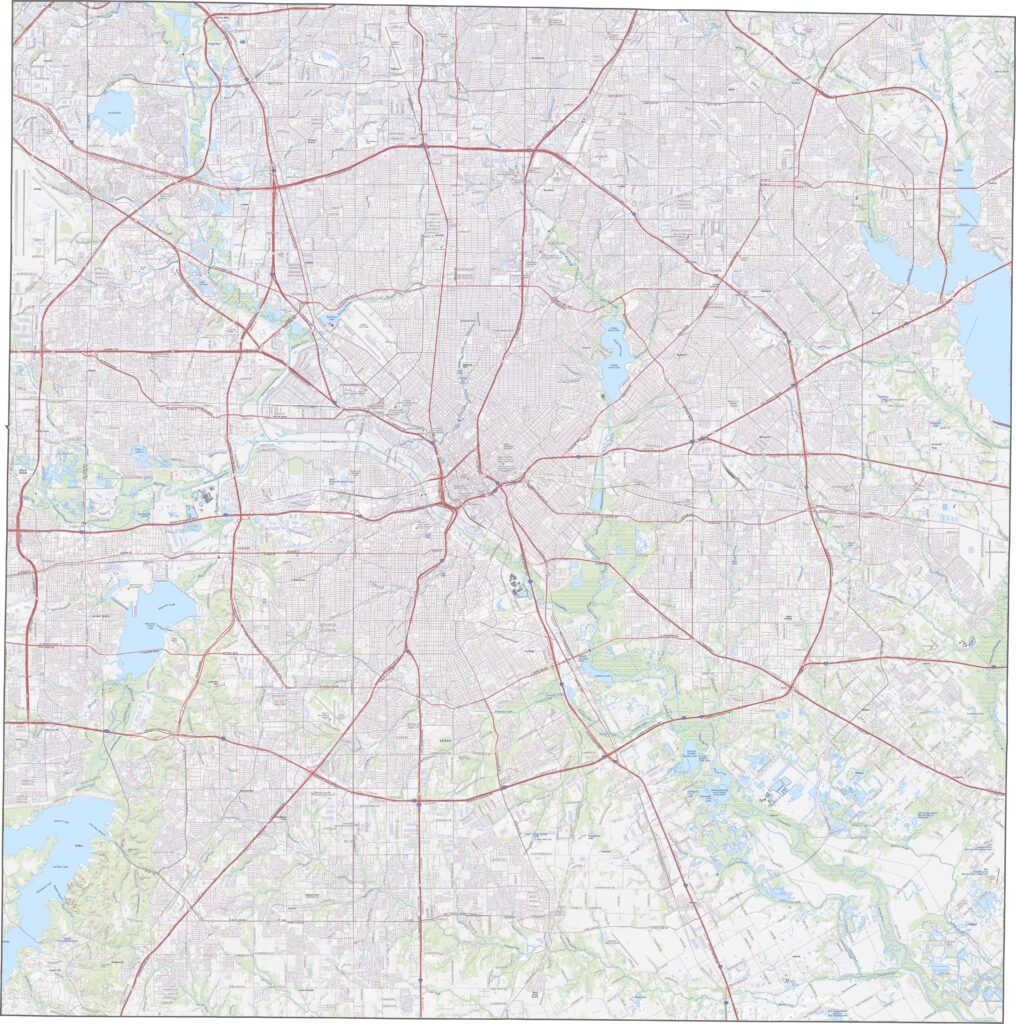
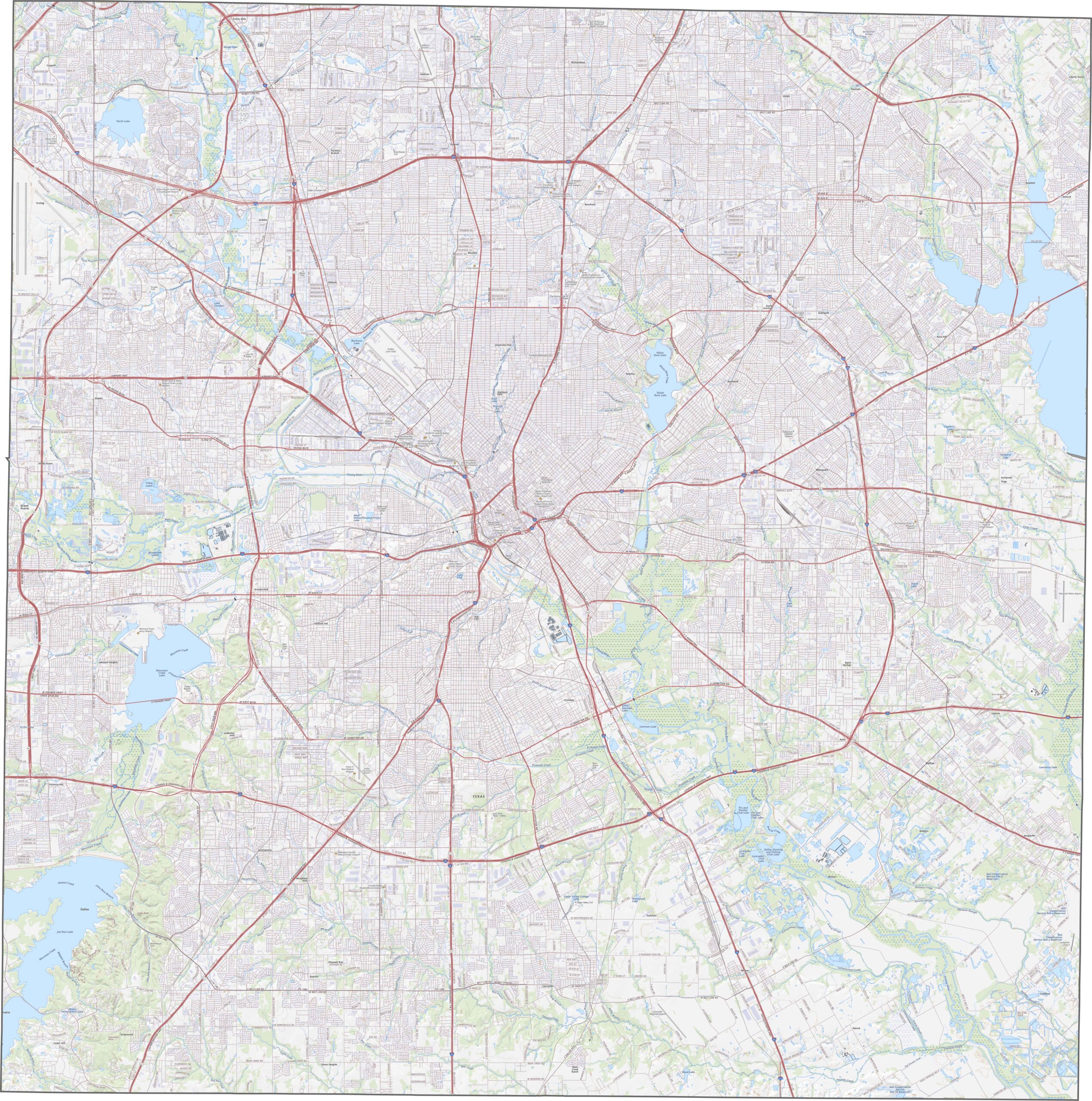
This is one of the busiest highway networks in Texas. Roads crisscross the county, with layers of overpasses and feeder roads. Traffic is nearly constant, especially around the urban core. Want to see how it all fits together? Use our zoom tool on the road map below.
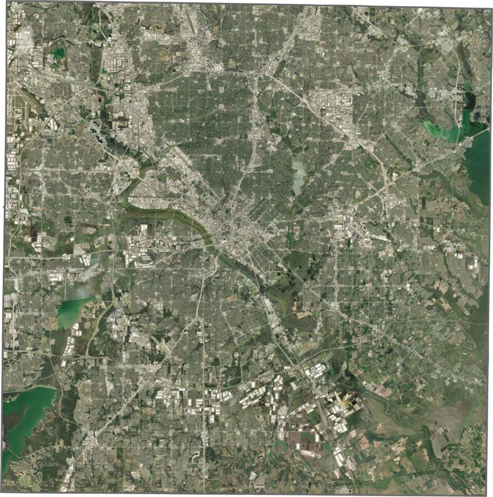
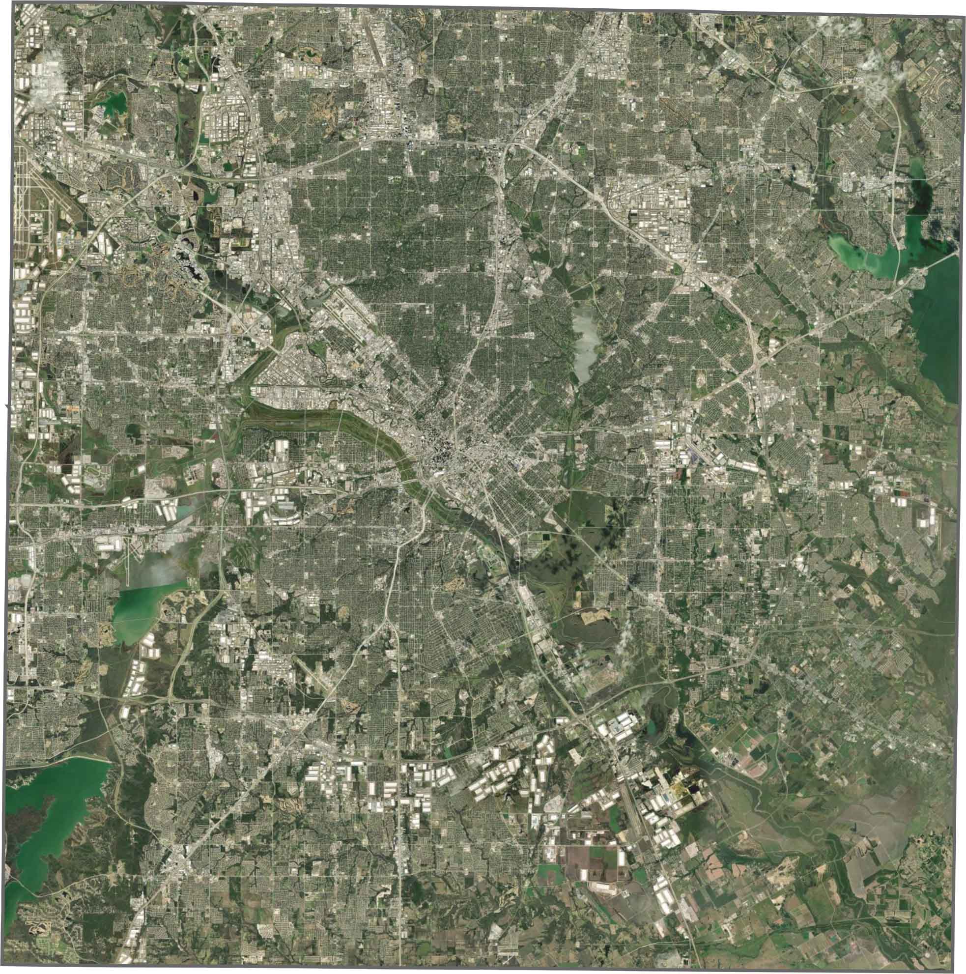
Our satellite map shows the rooftops, highways, and parking lots spread across Dallas County. But the Trinity River corridor stands out with a long stretch of green. Pockets of forest and parkland help break up the development.
Dallas County is basically a perfect square. It doesn’t border another state, but it’s surrounded by some of the most populous counties in Texas.









Discover all 254 legendary Texas county maps, covering the Lone Star State from the Panhandle to the Rio Grande. That means more rodeos, honky-tonk, and Texas BBQ.