
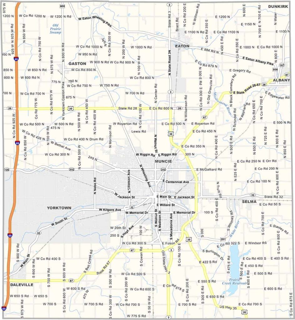
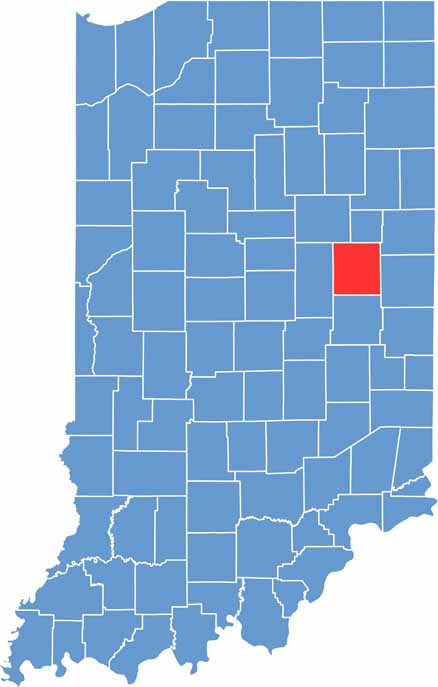
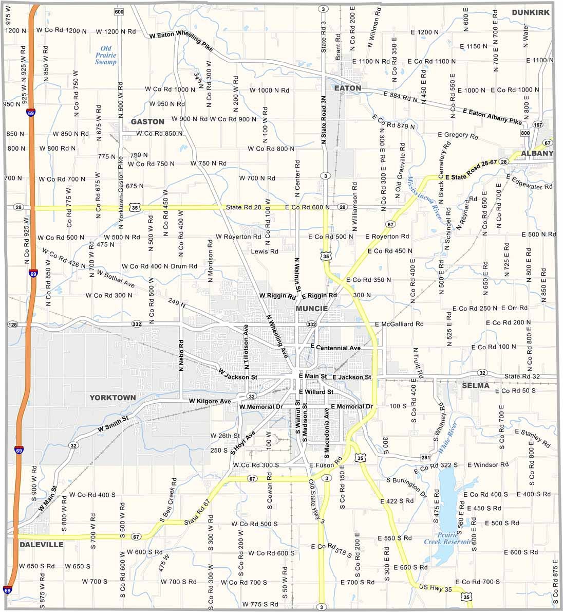
Delaware County offers a unique blend of a college town atmosphere and Rust Belt revival, making it an interesting part of east-central Indiana. The county combines its industrial past with a growing cultural and community identity.
Muncie, the county seat of Delaware County, is home to Ball State University, which brings a strong academic and youthful energy to the area. The White River runs through the county, creating scenic landscapes and opportunities for outdoor recreation.
Summers in Delaware County are typically hot, making the season ideal for local festivals and community events such as Muncie Gras, which was once a popular celebration. Today, Delaware County continues to reflect a spirit of grit, resilience, and determination.
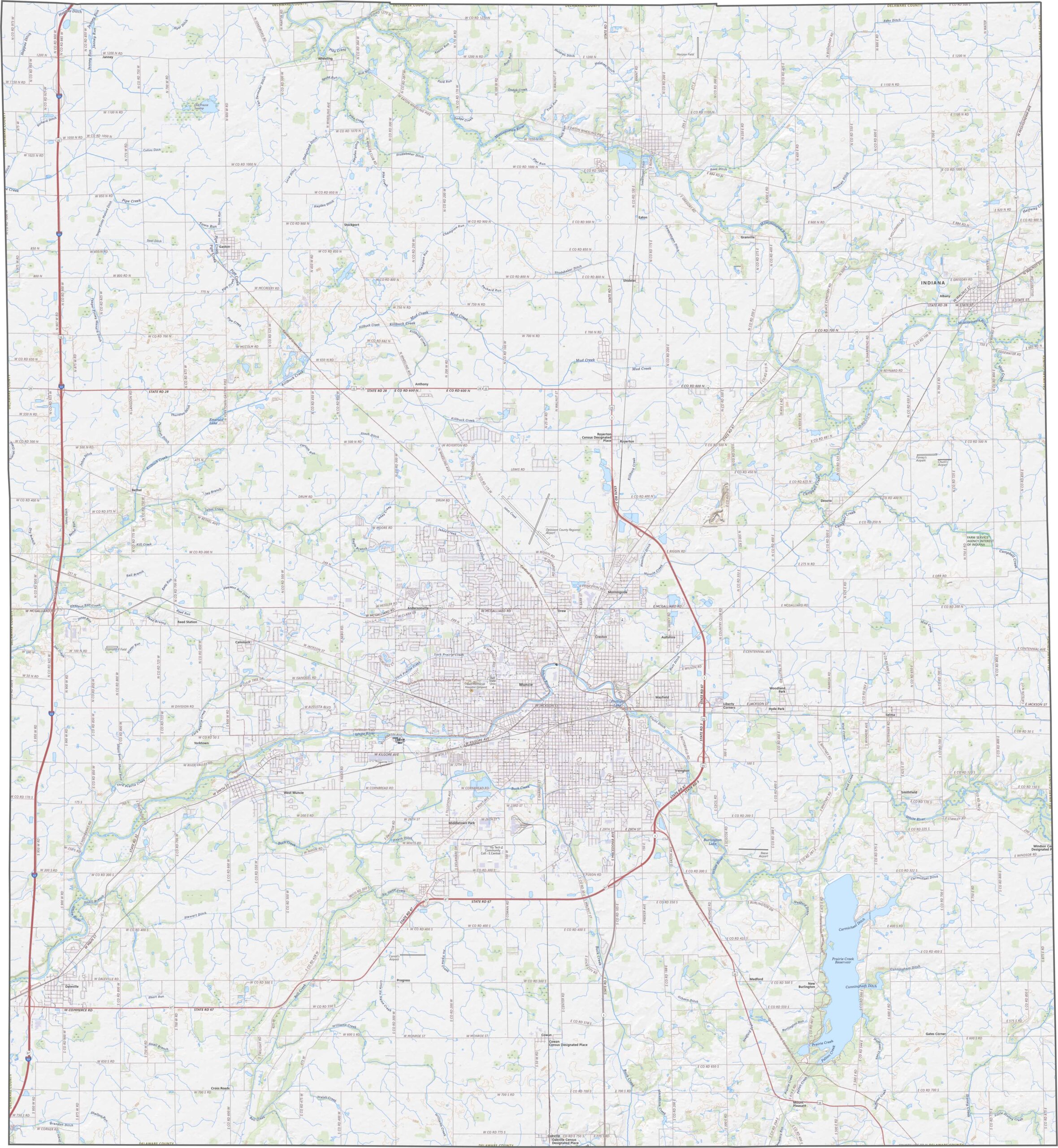
The terrain of Delaware County features gently rolling hills, with the White River forming a noticeable valley through the center of the county. While the eastern areas are generally flatter, more pronounced slopes can be found near the riverbanks. The landscape gradually transitions between urban and rural areas, creating a diverse geographic setting.
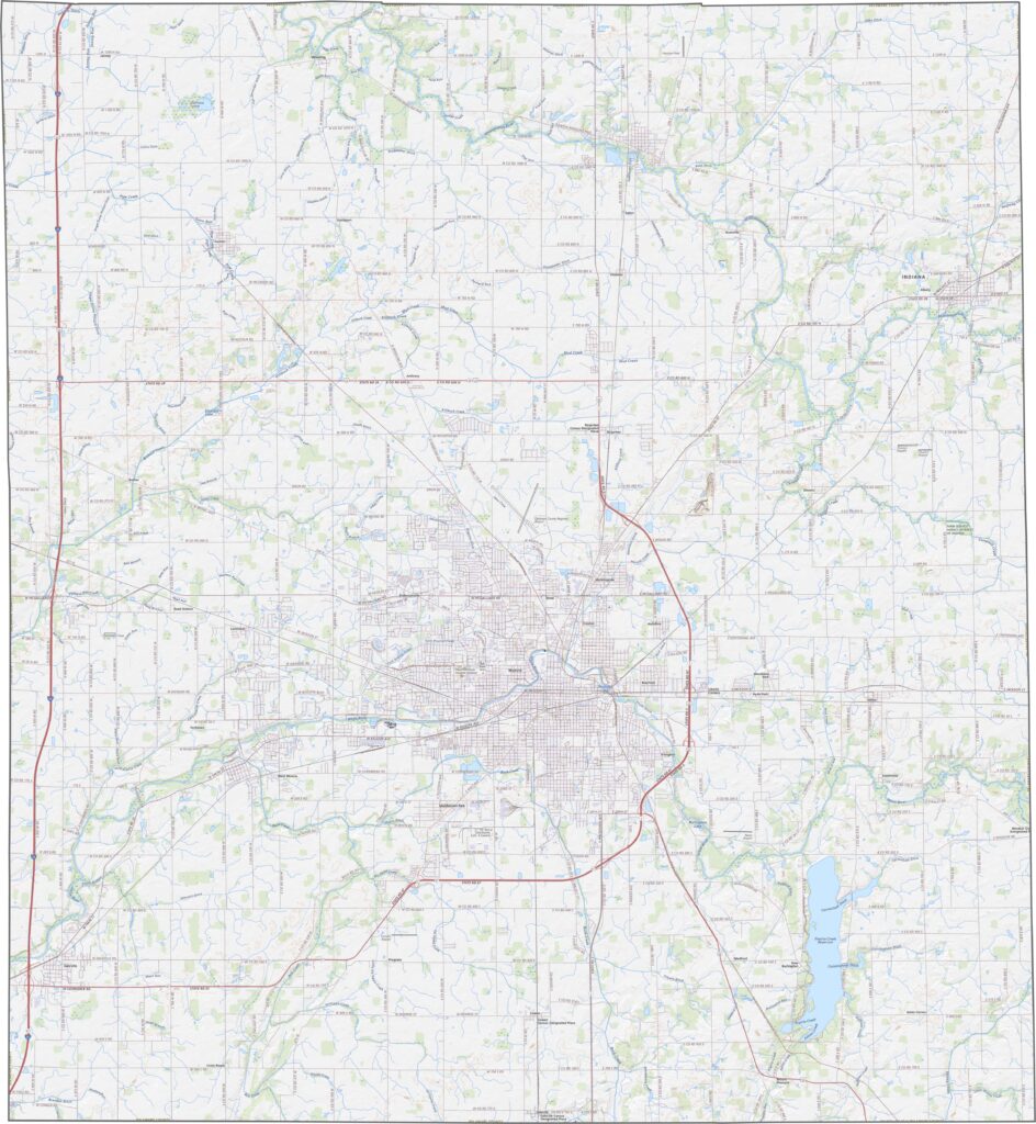
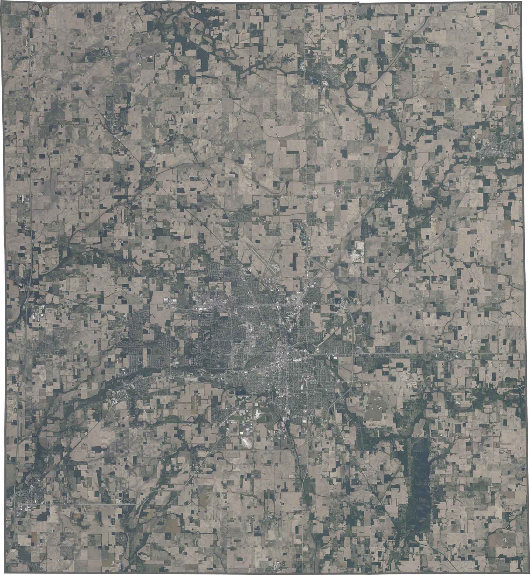
Muncie stands out as the county’s dominant urban center, while winding tributaries flowing into the White River create distinctive, finger-like patterns across the surrounding countryside. Beyond the city, farmland spreads outward in patchwork fields, giving much of the county a classic agricultural appearance.
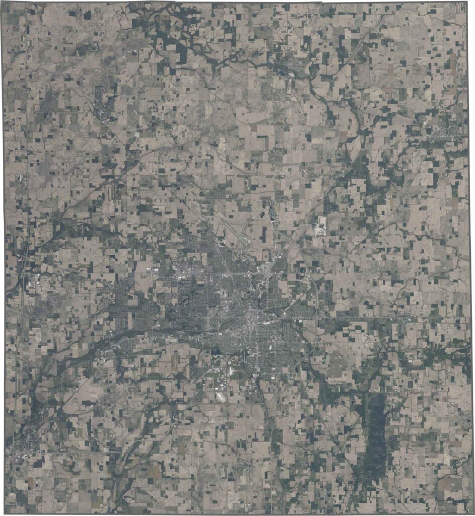
Delaware County has a generally rectangular shape and is completely surrounded by other Indiana counties, with no state boundaries. The White River passes through the county but does not form any part of its borders, adding an important geographic feature without defining the county’s overall outline.Would you like the next county description to focus on Delaware County’s river valley and tributaries or its urban-to-rural landscape?








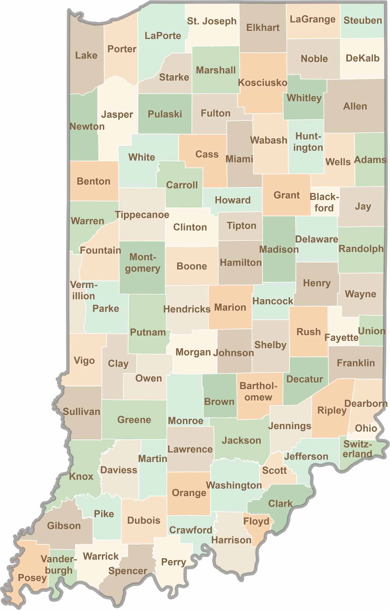
Explore the Hoosier State, home to 92 counties filled with scenic backroads, impressive skyline views, and charming small towns. Think of this as your glovebox passport to Indiana, guiding you to classic diner pies, covered bridges, and stunning Lake Michigan sunsets.