Denali Borough, Alaska

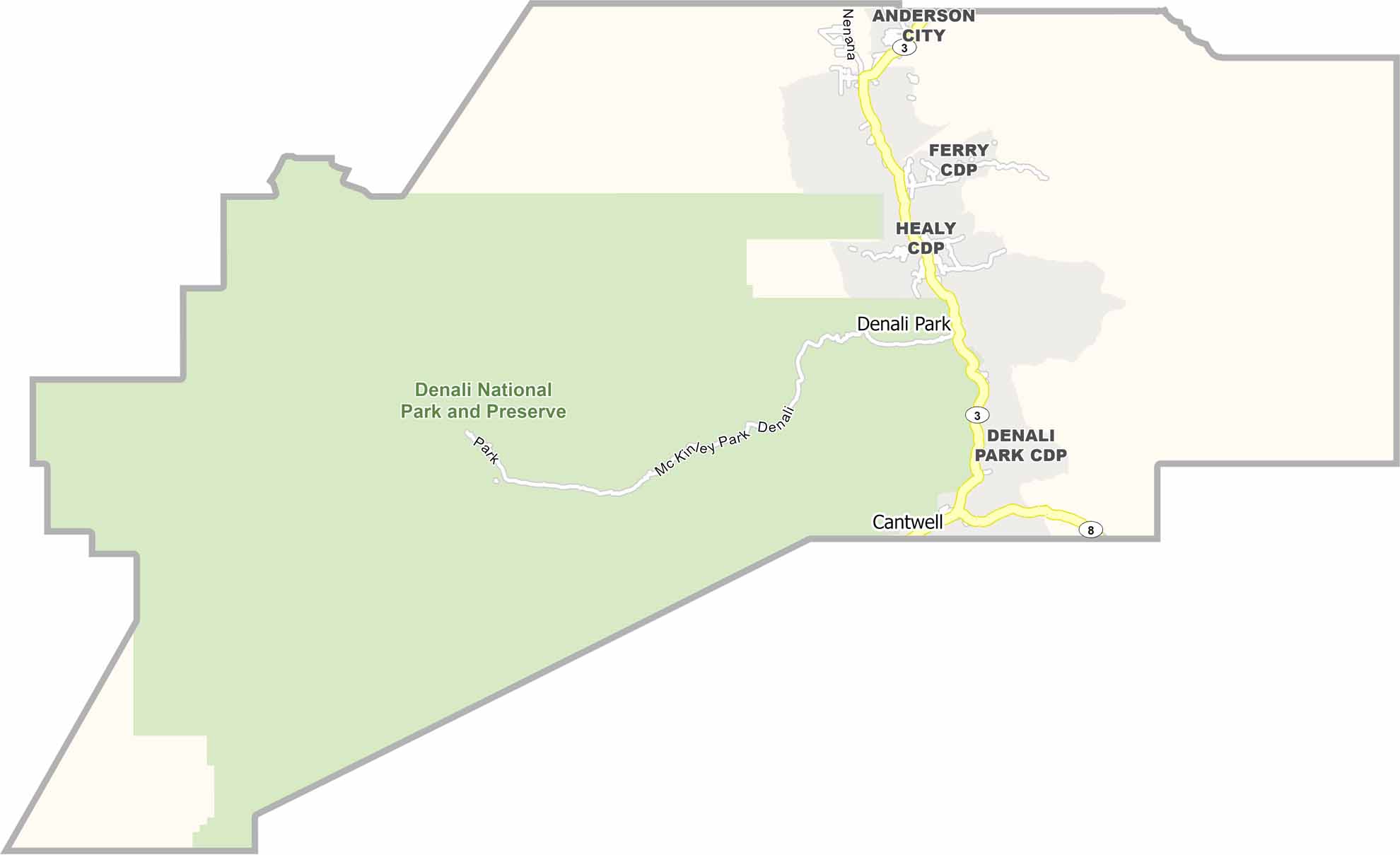
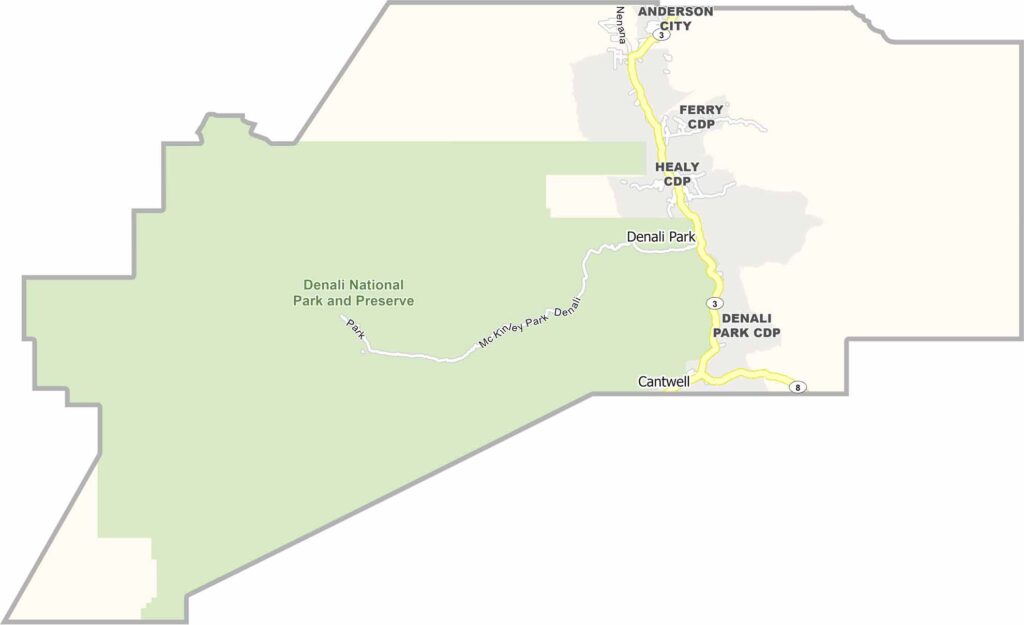
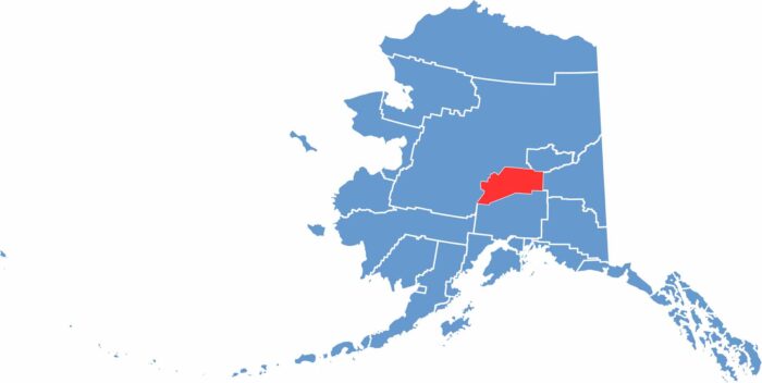
Denali Borough is located in the heart of Alaska and is home to Denali, North America’s tallest peak. The borough covers a vast area but has a population of only around 2,000 people. Most residents live in or near the small town of Healy.

Denali National Park attracts thousands of visitors each summer who come to see the mountain and wildlife. The park road is the only road in the borough, while most of the land consists of remote wilderness and backcountry. Mining was once an important industry, but tourism is now the main economic activity.

Winters are long and dark, while summers bring nearly endless daylight. The region is known for its beautiful scenery, including rivers, mountains, and forests. Despite its remote location, the borough has a small but close-knit community. Outdoor activities such as hiking, fishing, and dog sledding are popular with both residents and tourists.
CategoryDetails
Borough NameDenali Borough
Borough SeatHealy
PopulationApproximately 2,000
Cities, Towns, and CommunitiesHealy, Anderson, Cantwell, Ferry, McKinley Park, Carlo Creek, Denali Park
Interstates and HighwaysAlaska Route 3 (George Parks Highway), Denali Park Road
FIPS Code02-068
Total Area (Land and Water)12,777 square miles (Land: 12,750 sq mi, Water: 27 sq mi)
Adjacent Boroughs and Census Areas (and Direction)Yukon-Koyukuk Census Area (Northwest), Fairbanks North Star Borough (Northwest), Southeast Fairbanks Census Area (East), Matanuska-Susitna Borough (South)
Time ZoneAlaska Time Zone (AKT)
StateAlaska
Coordinates63.7366° N, 148.9109° W
EtymologyNamed after Denali, the highest peak in North America, located within the borough
Major LandmarksDenali National Park and Preserve, Mount McKinley (Denali), Denali State Park, Stampede Trail (location associated with “Into the Wild”), Nenana River
CategoryDetails
Borough NameDenali Borough
Borough SeatHealy
PopulationApproximately 2,000
Cities, Towns, and CommunitiesHealy, Anderson, Cantwell, Ferry, McKinley Park, Carlo Creek, Denali Park
Interstates and HighwaysAlaska Route 3 (George Parks Highway), Denali Park Road
FIPS Code02-068
Total Area (Land and Water)12,777 square miles (Land: 12,750 sq mi, Water: 27 sq mi)
Adjacent Boroughs and Census Areas (and Direction)Yukon-Koyukuk Census Area (Northwest), Fairbanks North Star Borough (Northwest), Southeast Fairbanks Census Area (East), Matanuska-Susitna Borough (South)
Time ZoneAlaska Time Zone (AKT)
StateAlaska
Coordinates63.7366° N, 148.9109° W
EtymologyNamed after Denali, the highest peak in North America, located within the borough
Major LandmarksDenali National Park and Preserve, Mount McKinley (Denali), Denali State Park, Stampede Trail (location associated with “Into the Wild”), Nenana River
Scroll to Top