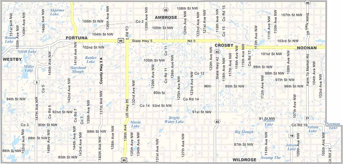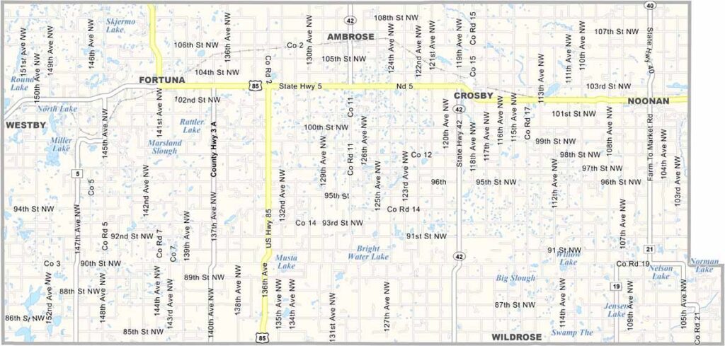
Divide County Map, North Dakota

Divide County, North Dakota

Divide County sits in the northwest corner of North Dakota, right on the Montana and Canadian borders. Crosby, the county seat, is a small town of about 1,000 people.

Oil is a big deal here, as the county sits on part of the Bakken Formation, bringing economic ups and downs over the years. Farming is still important too, with wheat and canola among the major crops.

The county has its share of wide-open spaces, and on a clear day you can see for miles. Divide County has an interesting name, likely a reference to when the county was "divided" from Williams County.
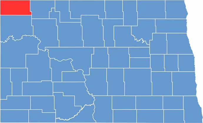
Divide County location map of North Dakota
CategoryDetails
County NameDivide County
County SeatCrosby
EtymologyNamed after the division of Williams County
Cities, Towns, and CommunitiesCrosby, Noonan, Fortuna, Lignite
Interstates and HighwaysNorth Dakota Highway 5, North Dakota Highway 50
FIPS Code38-023
Total Area (Land and Water)1,694 square miles (land and water)
Adjacent Counties (and Direction)Burke County (East), Williams County (South), Sheridan County, Montana (West)
Time ZoneMountain Time Zone
StateNorth Dakota
Coordinates48.7825° N, 103.2842° W
Major LandmarksCrosby City Park, Divide County Fairgrounds
PopulationApproximately 2,000
Scroll to Top