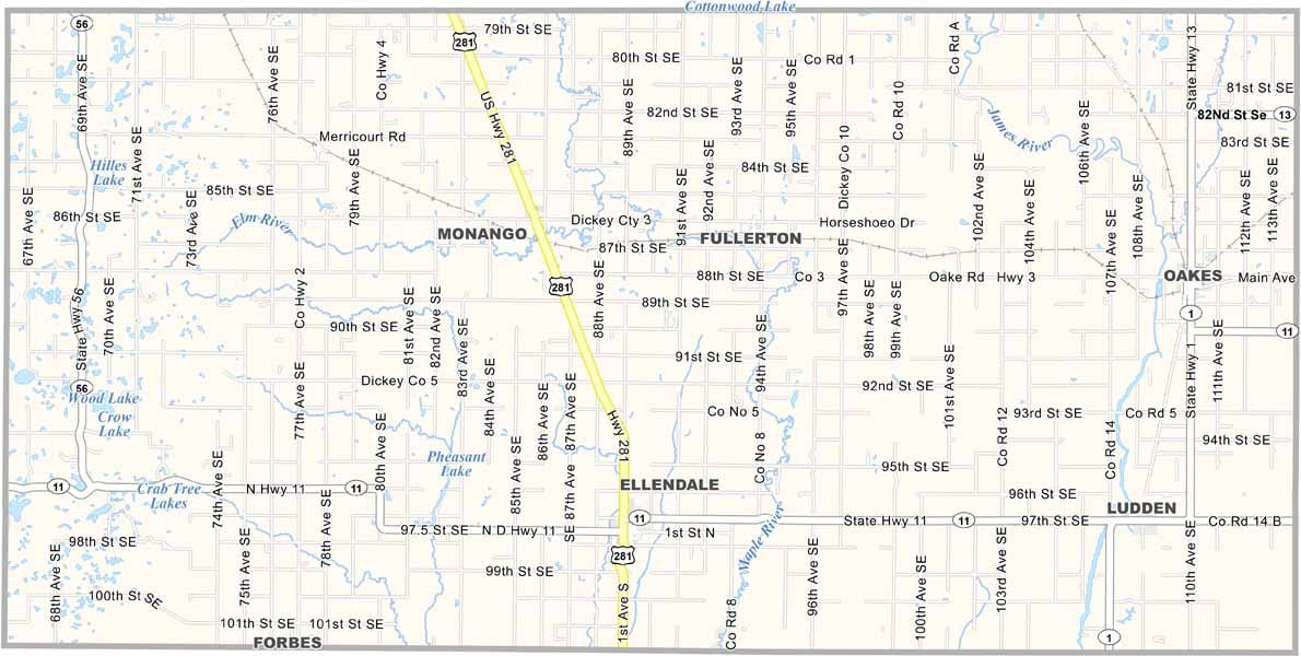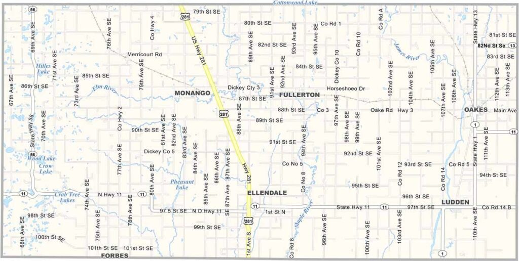
Dickey County Map, North Dakota

Dickey County, North Dakota

Dickey County sits in southeastern North Dakota, right along the South Dakota border. This is farm country, where fields of wheat, soybeans, and corn stretch across the plains.

Ellendale, the county seat, is home to about 1,300 folks, though Oakes is the largest town. The James River winds its way through the county, and the fishing is pretty good, if you know the right spots.

Dickey County has some history to it, having been founded back in 1881. The railroad played a big part in settling the area, and you can still see some of that heritage today. Now, it's all about agriculture.
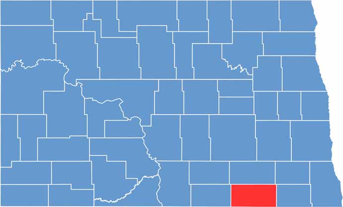
Dickey County location map of North Dakota
CategoryDetails
County NameDickey County
County SeatEllendale
EtymologyNamed after Dakota territorial legislator George H. Dickey
Cities, Towns, and CommunitiesEllendale, Oakes, Fullerton, Monango
Interstates and HighwaysNorth Dakota Highway 1, North Dakota Highway 11
FIPS Code38-021
Total Area (Land and Water)1,389 square miles (land and water)
Adjacent Counties (and Direction)LaMoure County (North), Ransom County (Northeast), Sargent County (East), Brown County, South Dakota (South), McPherson County, South Dakota (Southwest), McIntosh County (West)
Time ZoneCentral Time Zone
StateNorth Dakota
Coordinates46.0237° N, 98.1333° W
Major LandmarksDickey County Courthouse, Lake Louise State Park
PopulationApproximately 3,200
Scroll to Top