
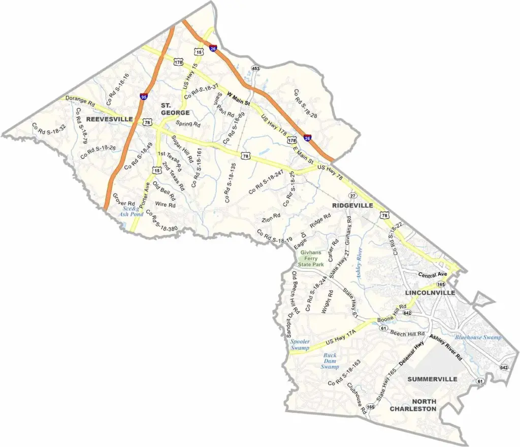
Dorchester County sits in the coastal plain of South Carolina, just inland from Charleston. The area is growing fast, so new subdivisions are popping up left and right.
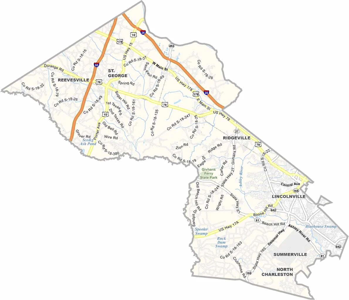
Summerville is the largest town, known for its beautiful azaleas and sweet tea. The town claims to have invented the drink, you know.
The Ashley River runs through the county, which is perfect for kayaking or simply enjoying the scenery. Nature lovers should check out Givhans Ferry State Park.
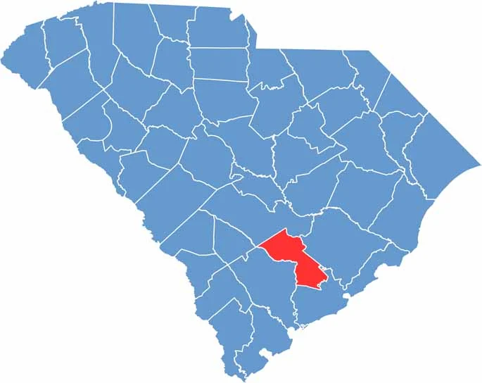
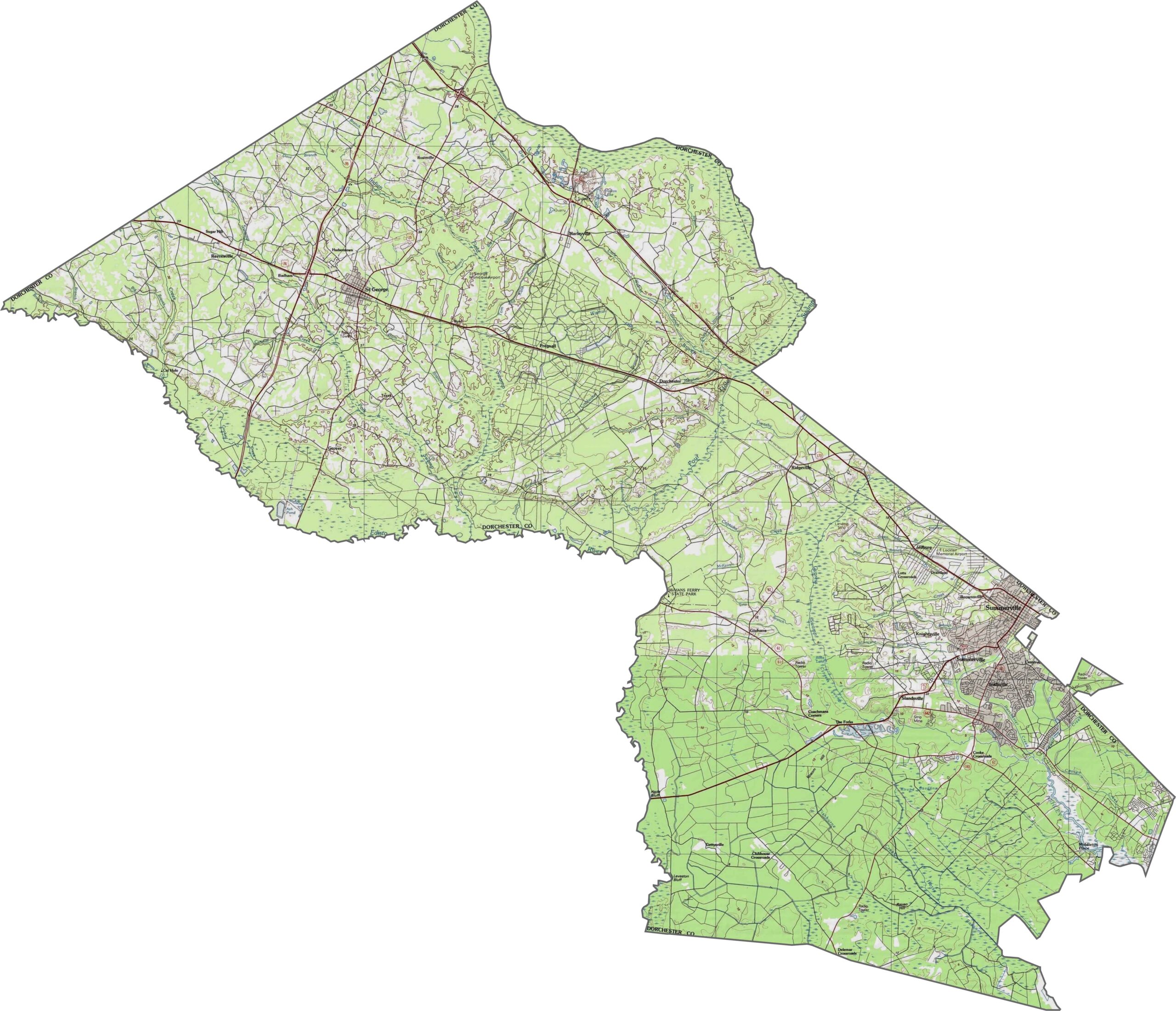
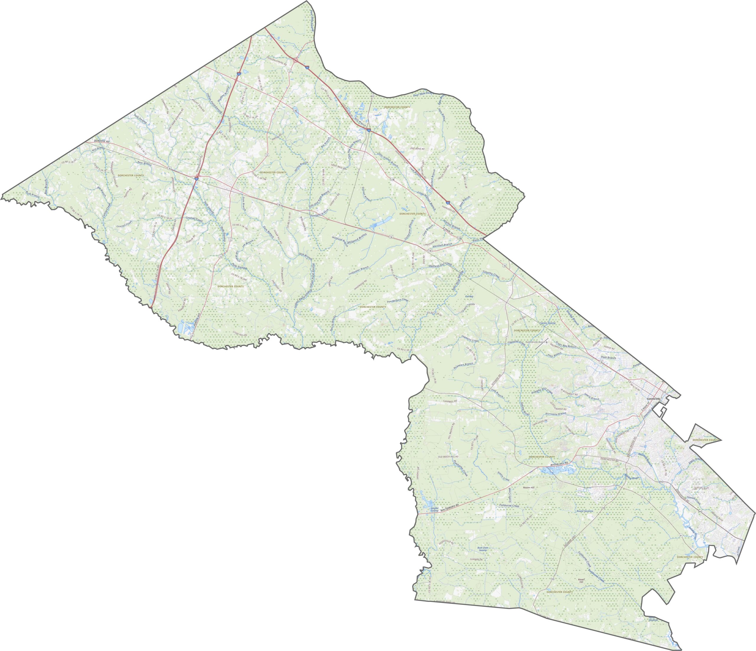
The land in Dorchester County rises gently from the coastal plain. Shallow ridges and broad flats trade places across the county. There are no mountains, but it is not completely level either. Use our zoom tool to scope out the terrain.
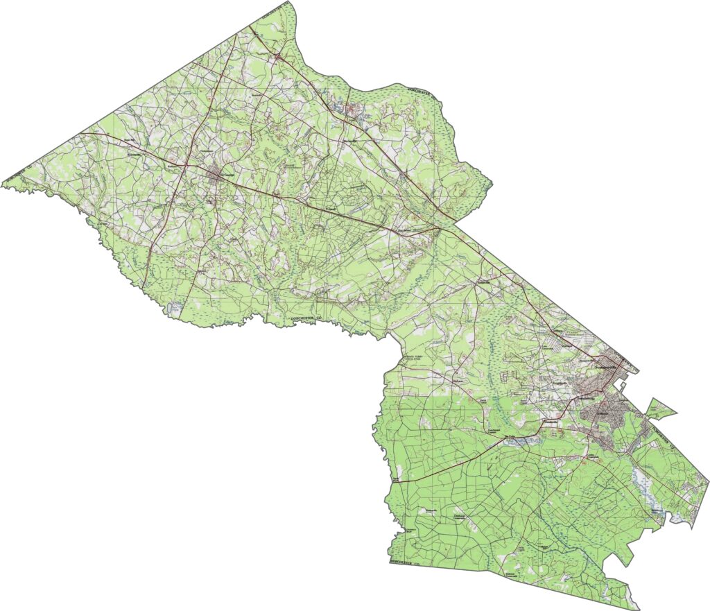
The roads in Dorchester County are straight and simple. I-26 and I-95 cut through the northern region. The county is not heavily urban, but it is growing fast. Some areas feel suburban, while others are still very rural.
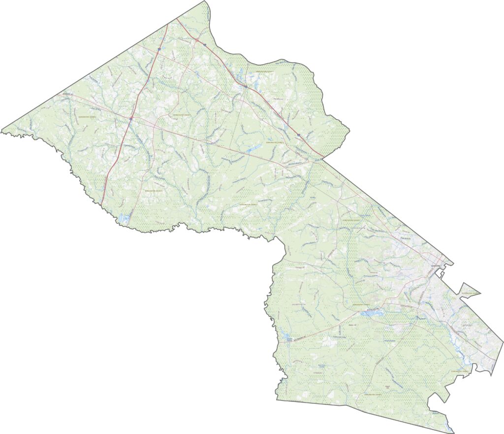
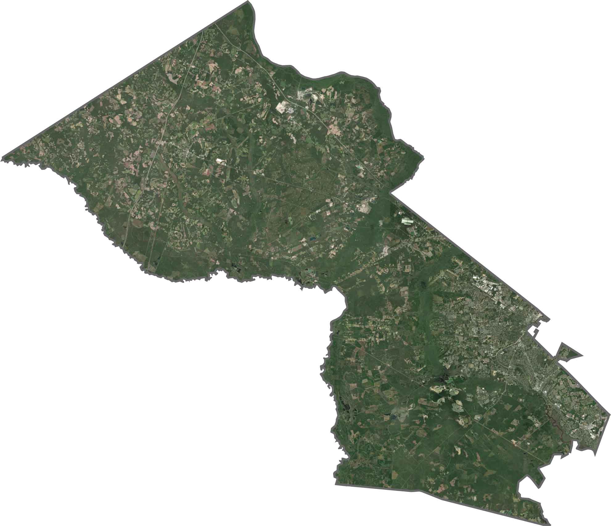
Fields, pine forests, and housing developments are easy to spot. Urban growth stands out near the southeast, while further inland the trees grow tall. You will notice large green tracts with occasional breaks for farmland or neighborhoods.
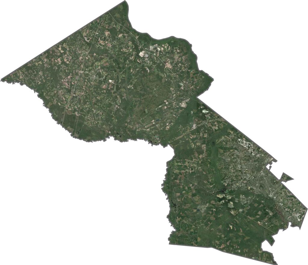
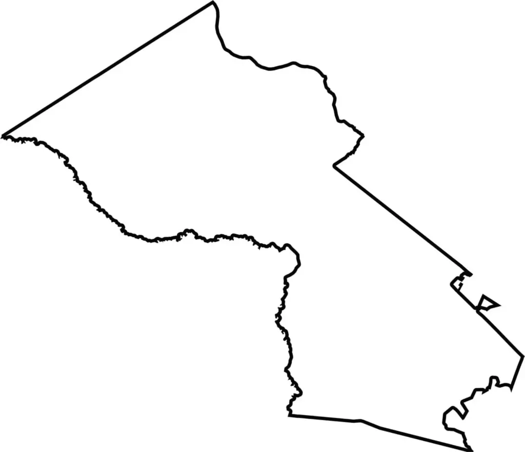
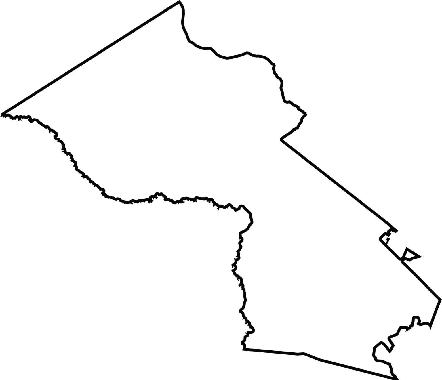
The county looks a bit like a tilted wedge. The Edisto River defines its western border. It shares boundaries with five other counties in South Carolina but does not touch another state. Some lines are straight, while others are gently curved.






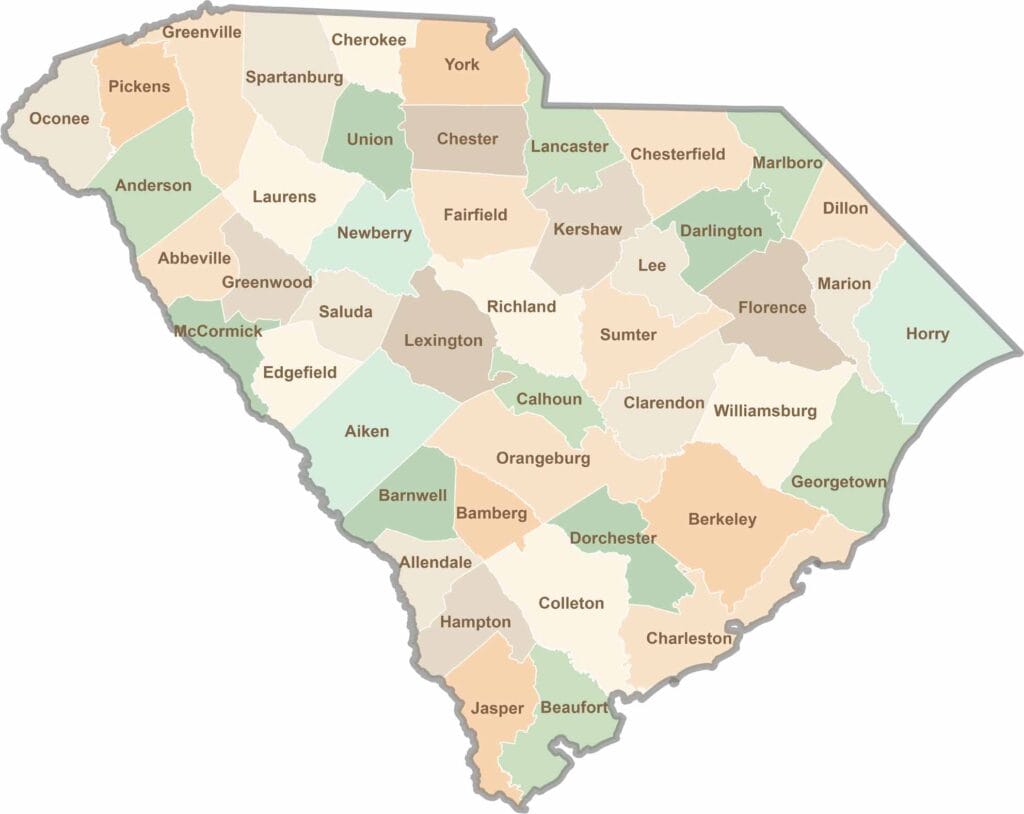
South Carolina’s 46 counties each have their own personality. Some are all about beach vibes, while others are steeped in history. You’ll find gators, grits, and gospel here—sometimes all in the very same afternoon.