
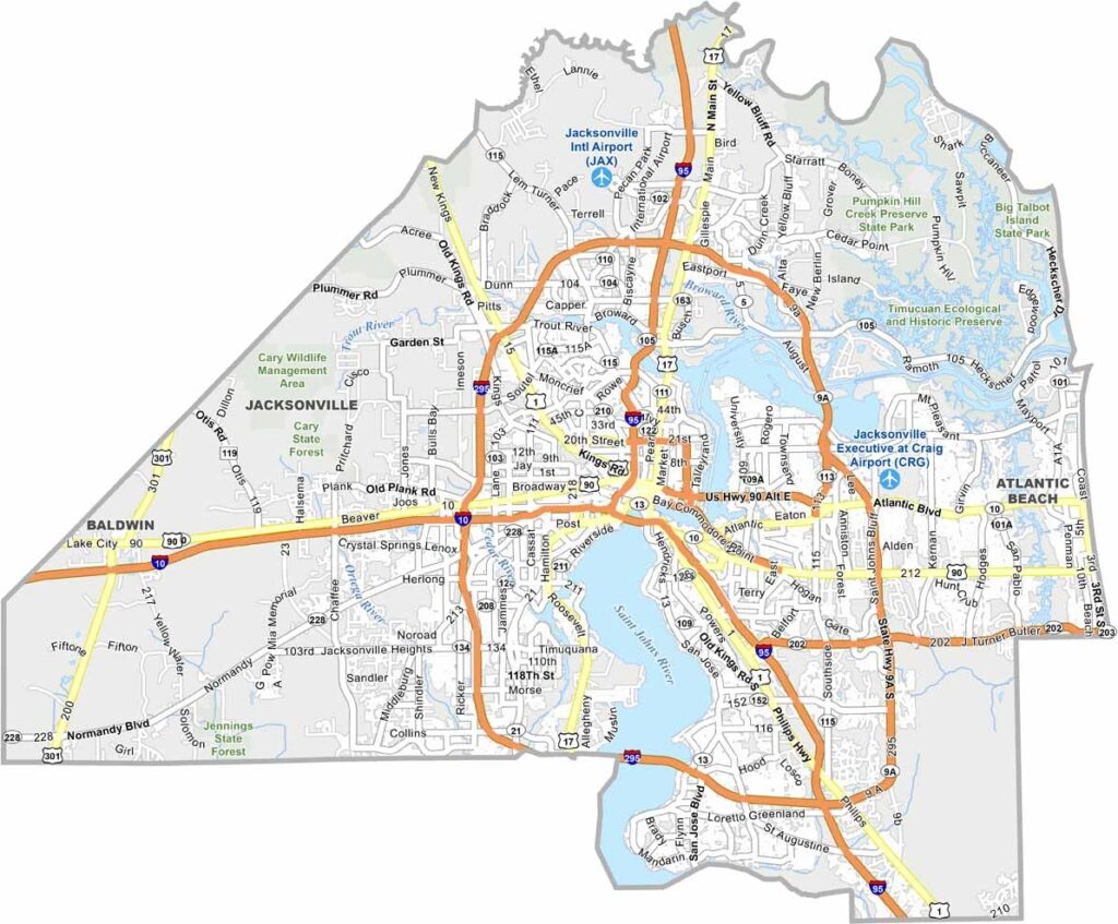
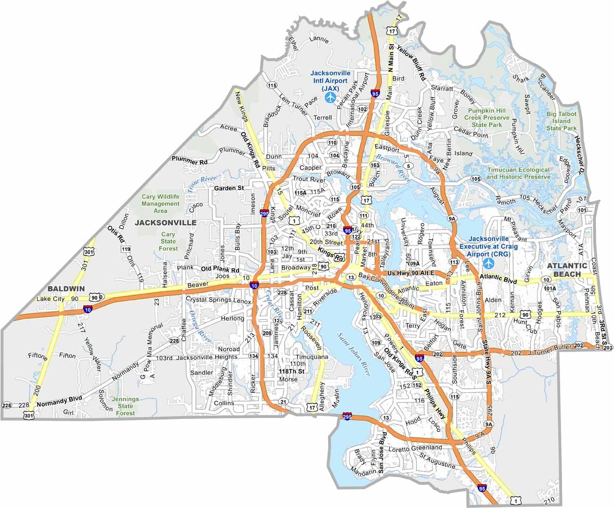
Duval County is closely associated with Jacksonville, Florida’s largest city by land area and one of the state’s most populous cities. The county offers a diverse mix of Atlantic beaches, urban neighborhoods, and suburban communities. Jacksonville Jaguars fans also have a strong presence here, with the NFL team calling the city home.
Jacksonville combines traditional Southern character with a distinct Florida lifestyle. The city continues to invest in downtown redevelopment, while its growing music scene offers plenty to discover. The St. Johns River runs through the heart of the city, shaping both its landscape and waterfront communities.
Duval County traffic can be challenging, particularly during busy periods and around the city’s many bridges. The local naval base also contributes to the area’s large military community. Despite its unique challenges and quirks, Duval County has a strong local identity and remains one of Florida’s often-overlooked major cities.
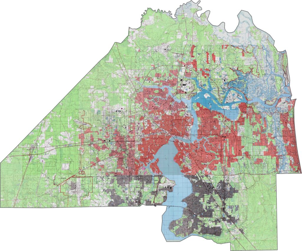
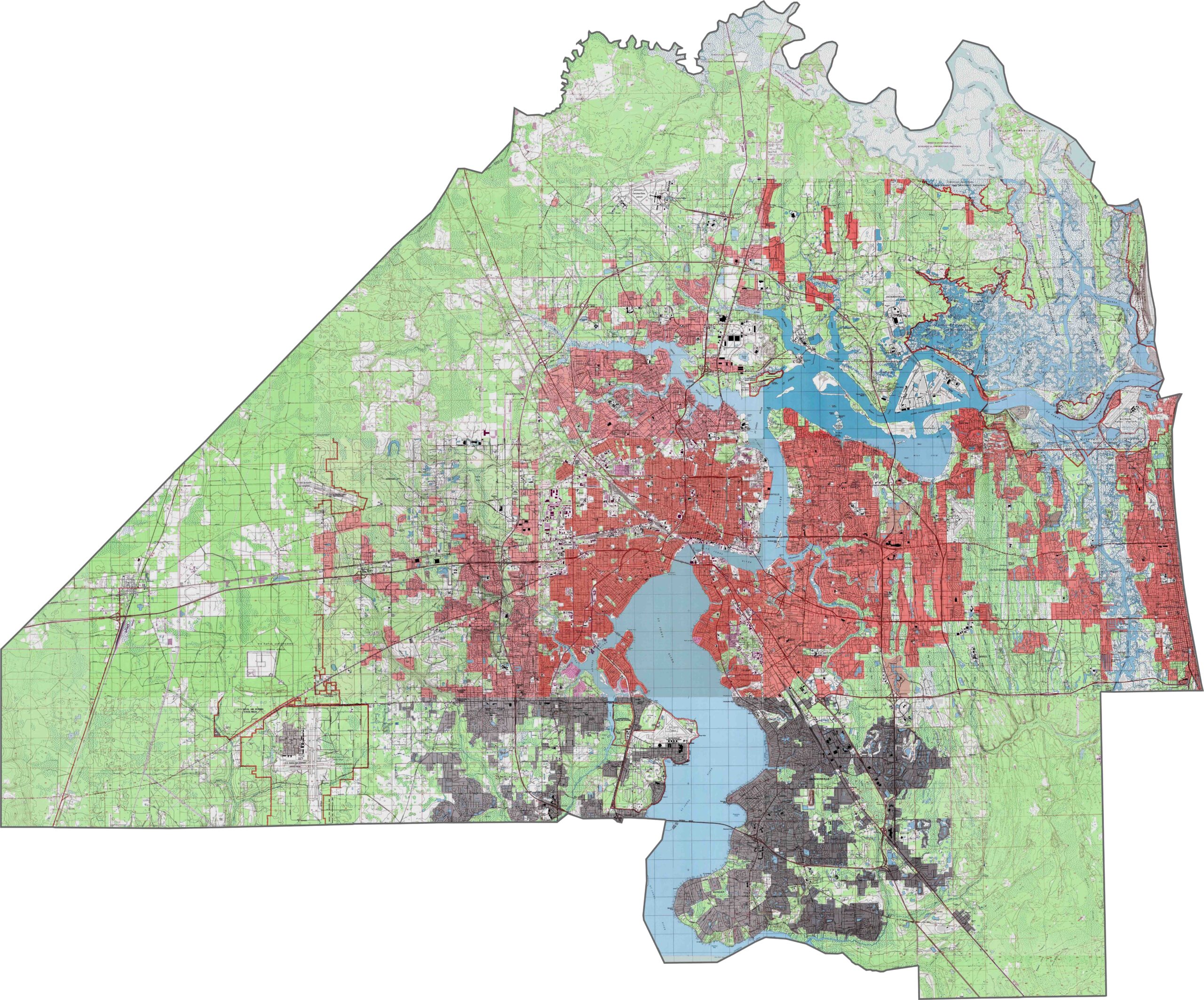
Duval County topography is characterized by a relatively flat coastal plain, with the St. Johns River serving as a major geographic feature as it flows northward. The western areas feature slightly higher elevations and gentle hills, while the eastern portion gradually slopes toward the Atlantic Ocean. Extensive salt marshes can also be found along the coast. Use our zoom tool to explore these elevation and landscape changes in greater detail.
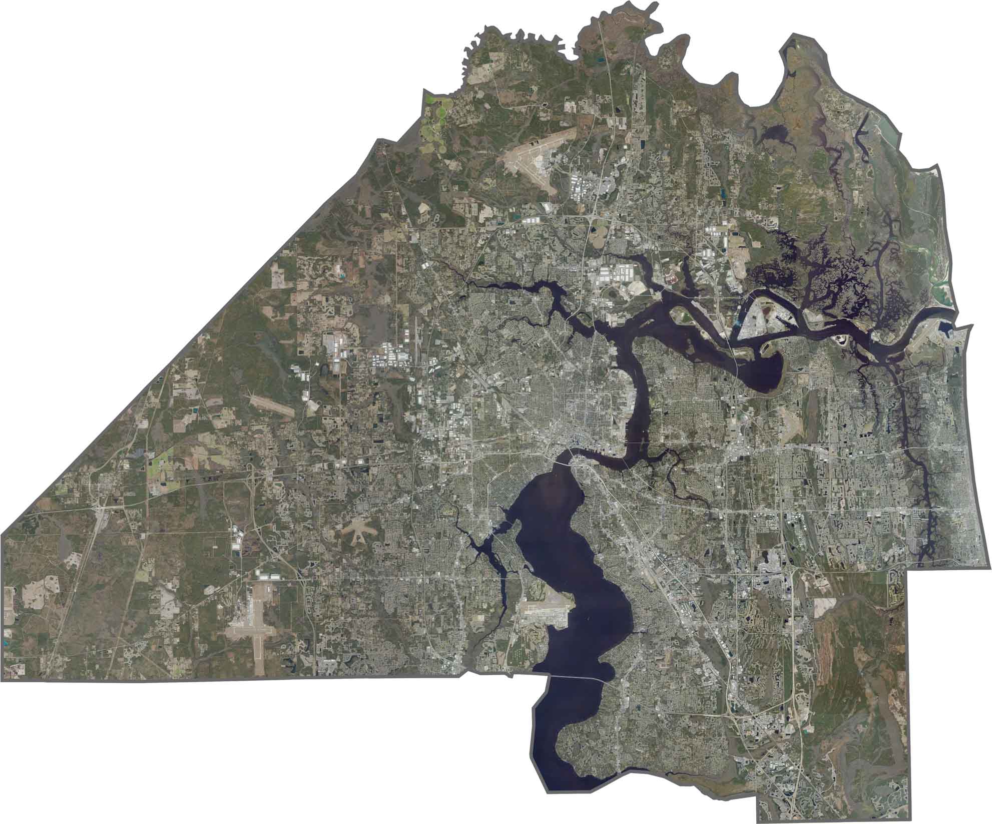
Duval County includes Jacksonville and its surrounding communities, with the St. Johns River winding through the area. The eastern coastline features sandy beaches and the Intracoastal Waterway, while the western portions contain a mix of forests and suburban developments. Use our zoom tool to follow the river’s path and examine the county’s varied landscape.
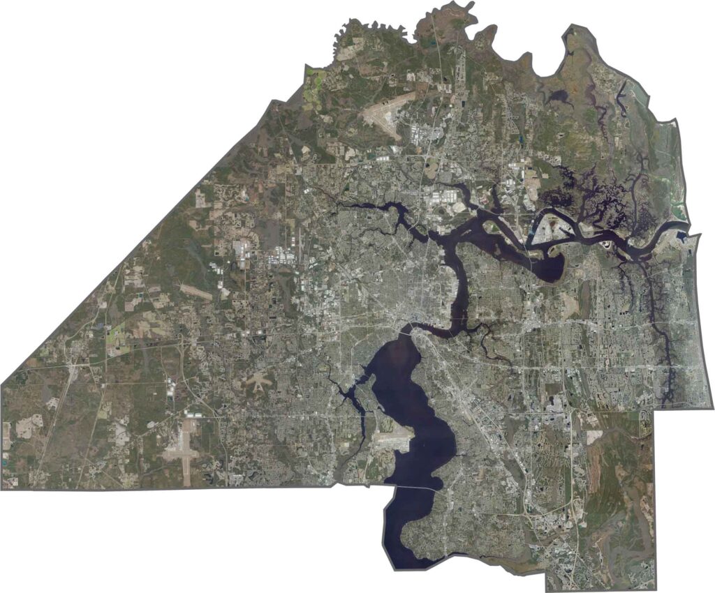
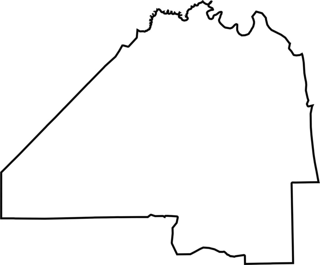
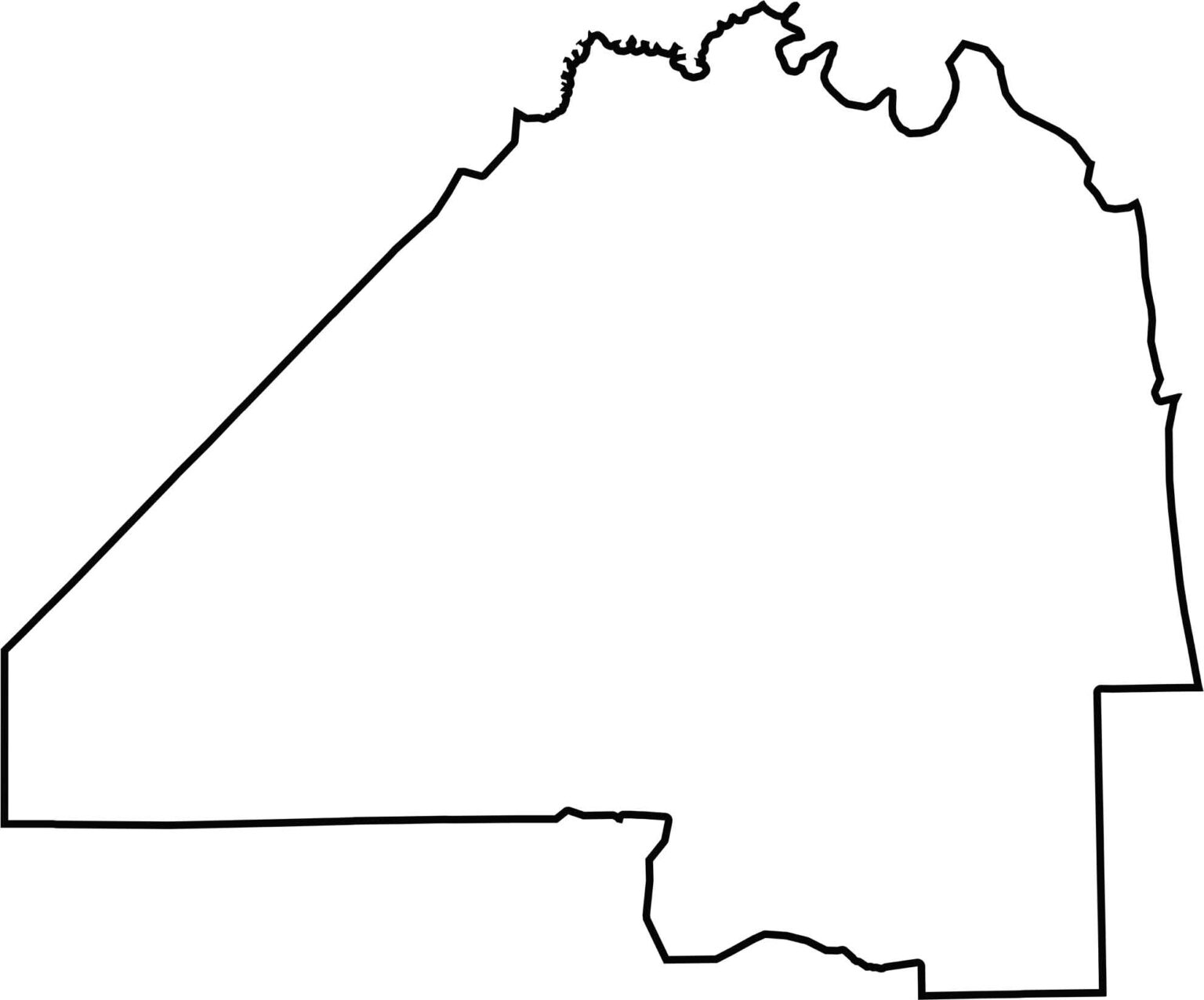
Duval County map covers an extensive coastal and riverfront area, including Jacksonville. The county’s boundaries are influenced by the St. Johns River and surrounding wetlands, creating a distinctive and varied geographic outline.







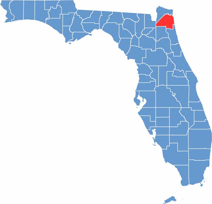
Looking for a county map of Florida? Our Florida County Map breaks down all 67 counties across the Sunshine State. Explore Florida through detailed topographic, satellite, and outline maps to better understand its geography, landscapes, and county boundaries.