
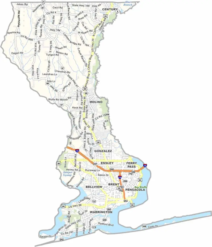
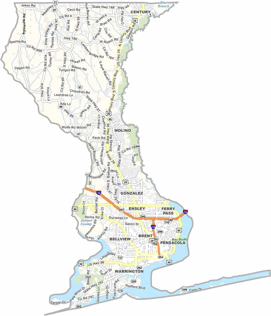
Escambia County is located at the far western end of Florida’s Panhandle, offering a blend of coastal living and Southern charm. The county has a strong military presence, largely influenced by Naval Air Station Pensacola, which plays an important role in the local community.
Pensacola is the county’s largest city and has a rich history that stretches back centuries. Pensacola Beach, known for its sugar-white sand, attracts visitors throughout the year. Meanwhile, Downtown Pensacola has experienced significant revitalization, with new shops, restaurants, and entertainment options adding to its appeal.
In contrast, the rural areas of northern Escambia County retain a distinctly Southern atmosphere. Fishing is popular in both the Pensacola Bay and Gulf of Mexico, while the area’s growing craft beer scene adds another modern attraction. Overall, Escambia County offers a diverse mix of beaches, history, outdoor recreation, military heritage, and local culture.
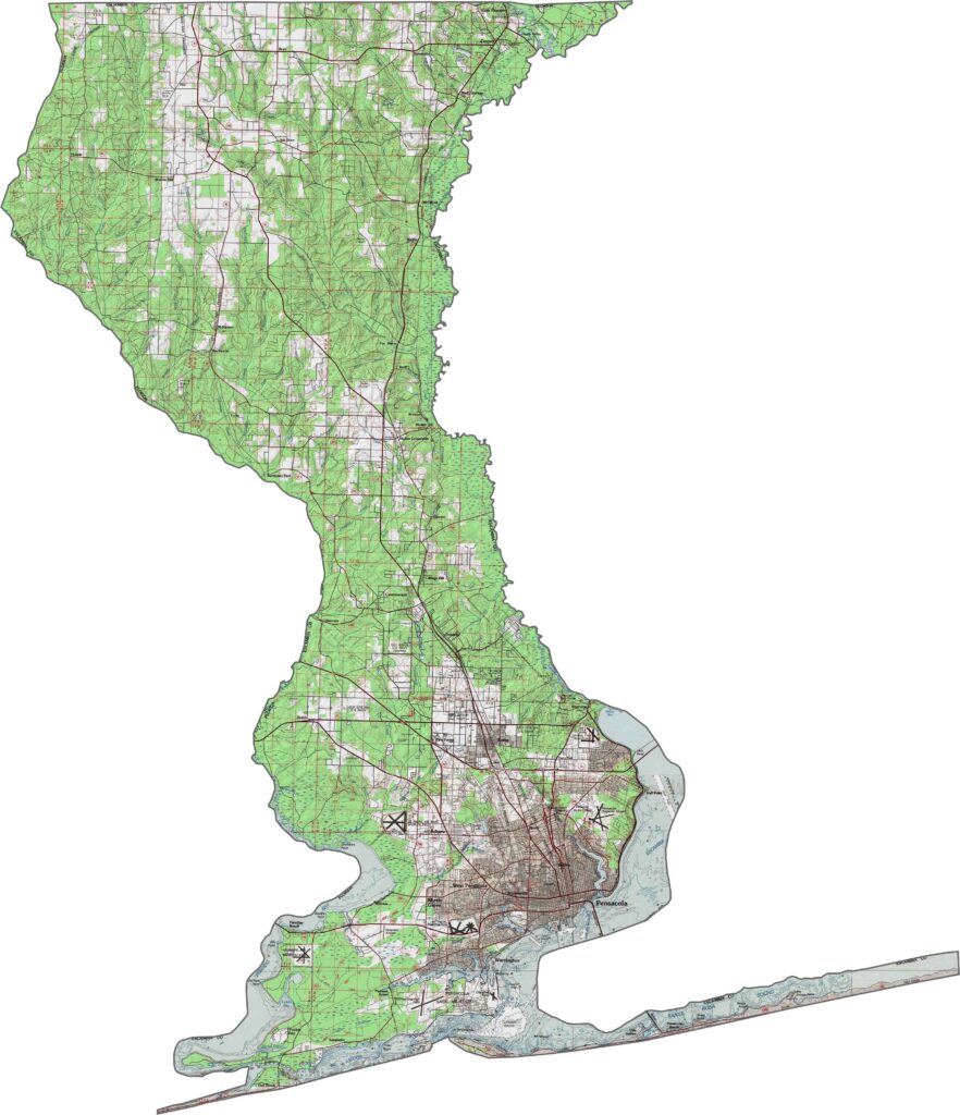
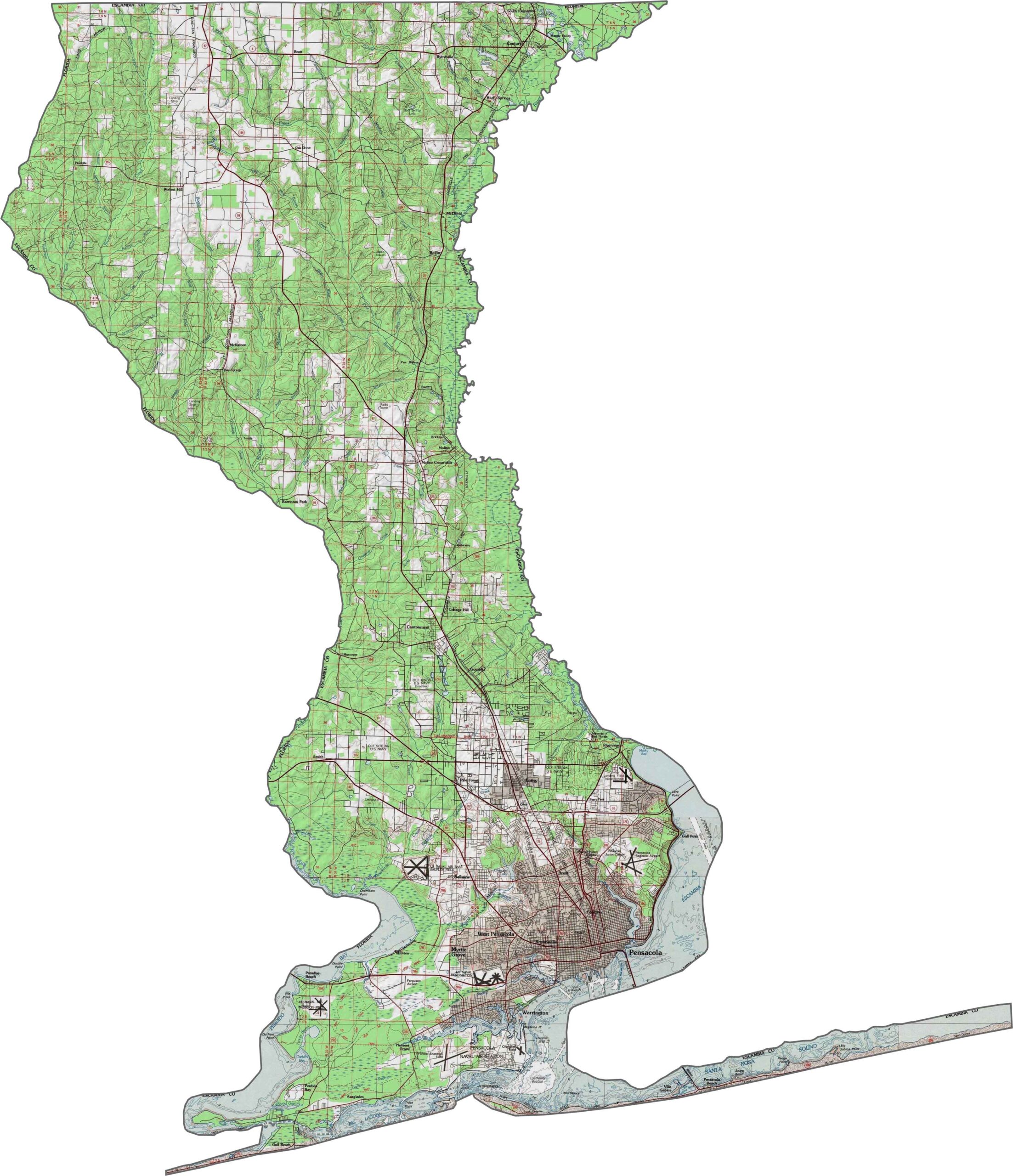
Our Escambia County topographic map highlights a diverse landscape of coastal lowlands, rolling hills, and wetlands. The county’s highest elevations are concentrated in the northern areas, creating a gradual transition from the lower coastal terrain.
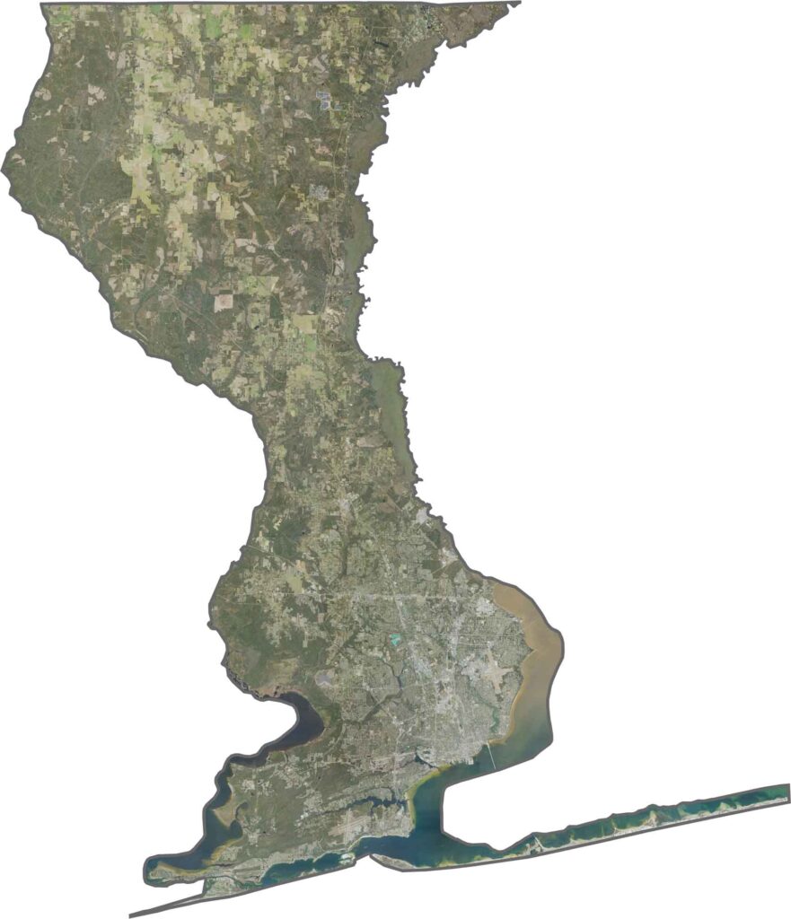
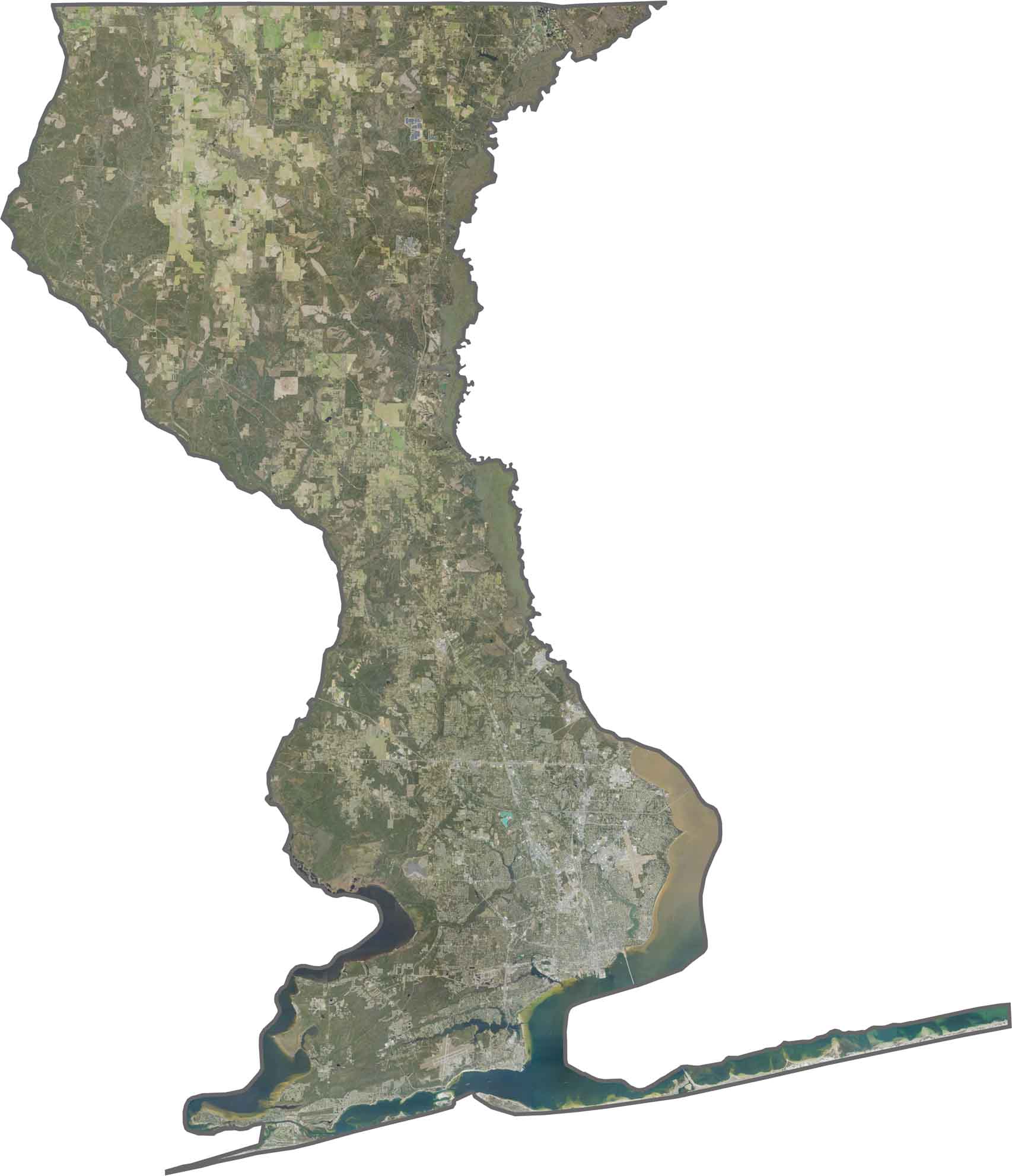
Our Escambia County satellite map showcases a combination of urban areas, military installations, and coastal waters. Use our zoom tool to explore the county’s different landscapes and geographic features in greater detail.
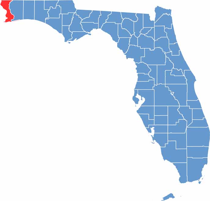
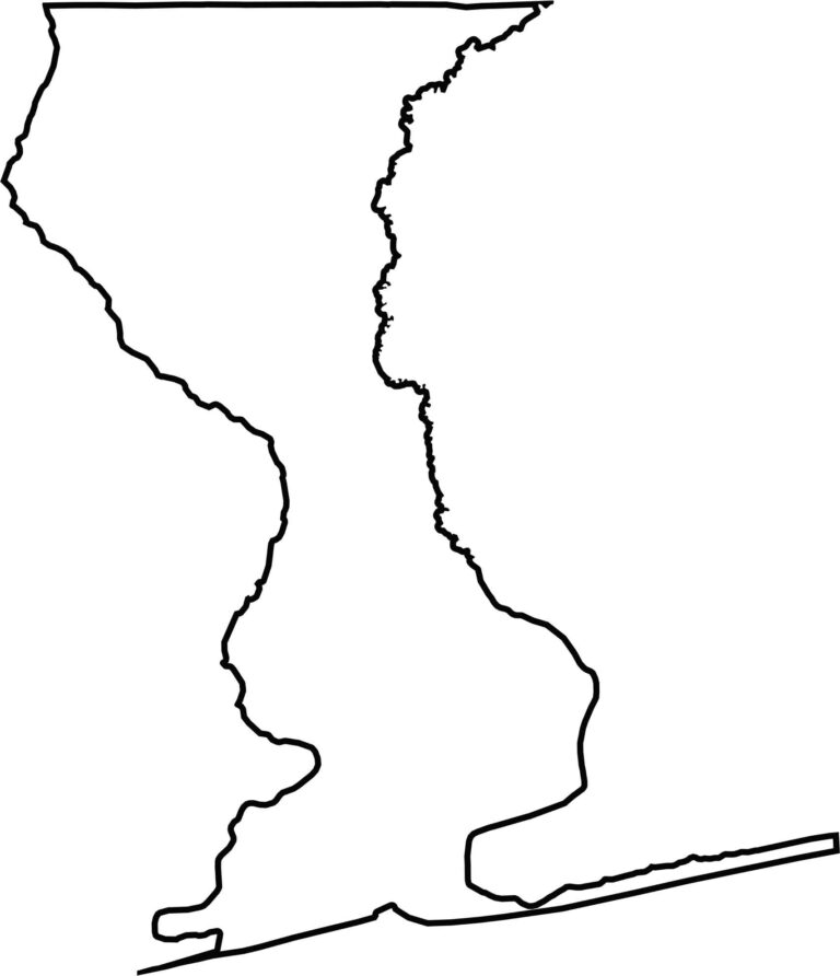
Escambia County is located along Florida’s westernmost edge, giving it a distinctive position within the Florida Panhandle. Its outline is influenced by the winding Perdido River and expansive Pensacola Bay. Our blank map of Escambia County clearly emphasizes its unique Panhandle location and coastal geography.








Looking for a county map of Florida? Our Florida County Map breaks down all 67 counties across the Sunshine State. Explore Florida through detailed topographic, satellite, and outline maps to better understand its geography, landscapes, and county boundaries.