
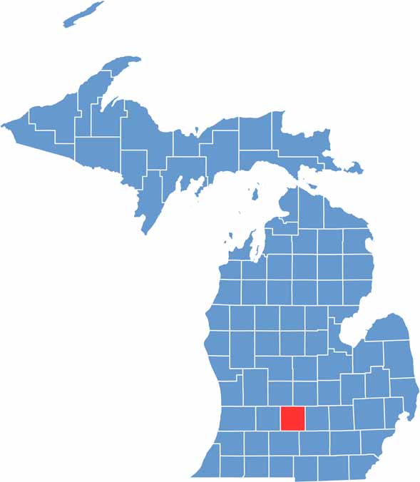
Eaton County sits in the heart of southern Michigan, just west of the state capital, Lansing. The county is named after John Eaton, a politician from way back.
The Grand River winds through the county, offering some great fishing spots. Historians enjoy exploring the 1885 courthouse in Charlotte, the county seat.
Folks here are proud of their roots, and they’re friendly too. Whether you’re passing through or settling down, Eaton County has a little something for everyone.
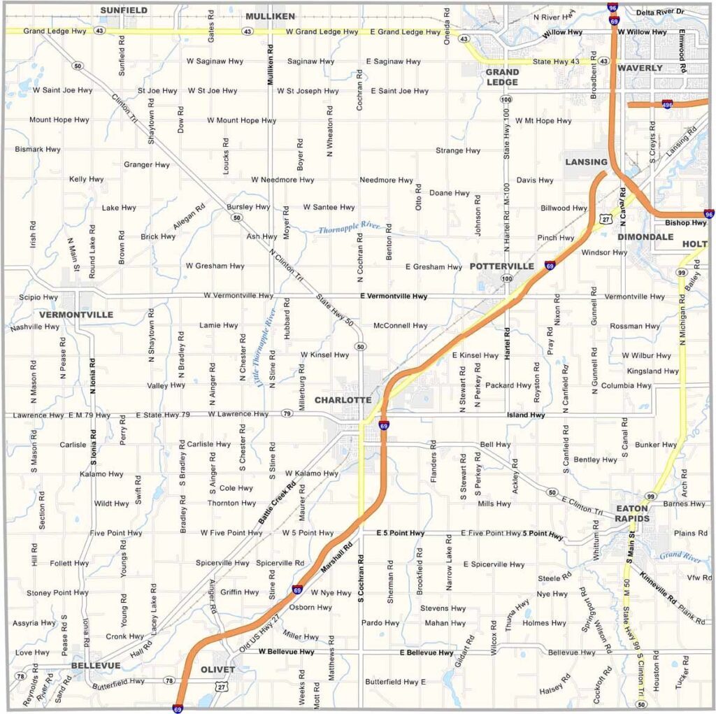
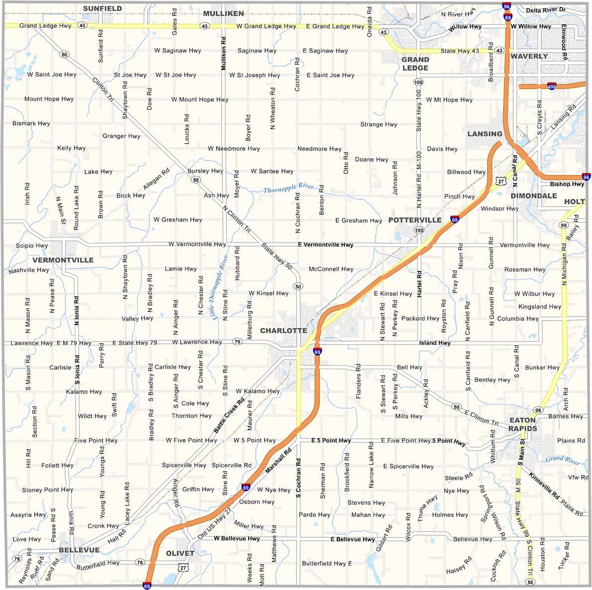
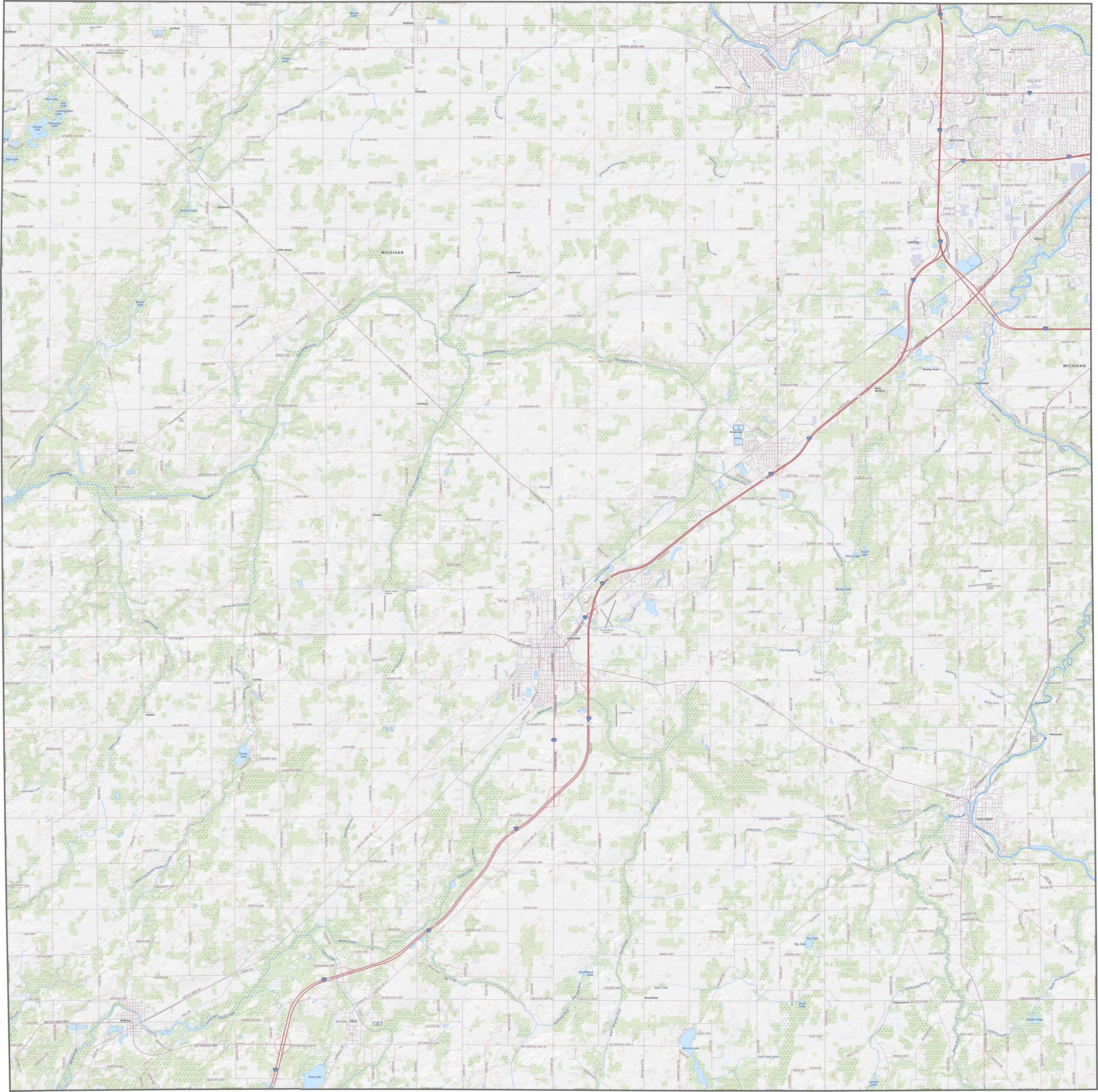
Eaton County’s highways make getting around a breeze. I-69 cuts diagonally across the county, heading northeast toward Lansing. The county roads are well connected too. You can zoom in on our map to explore the network of crisscrossing roads.
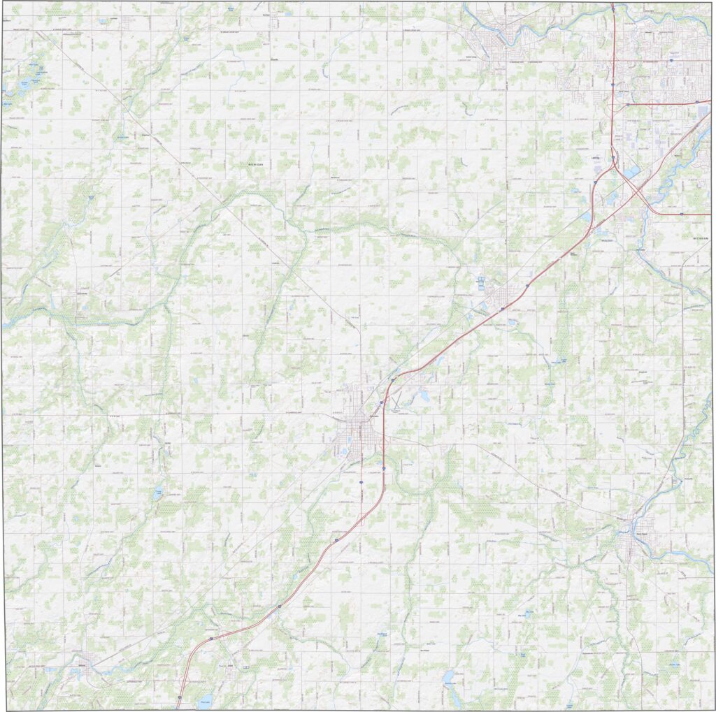
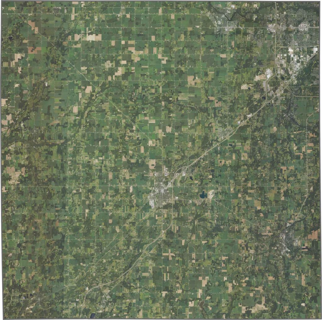
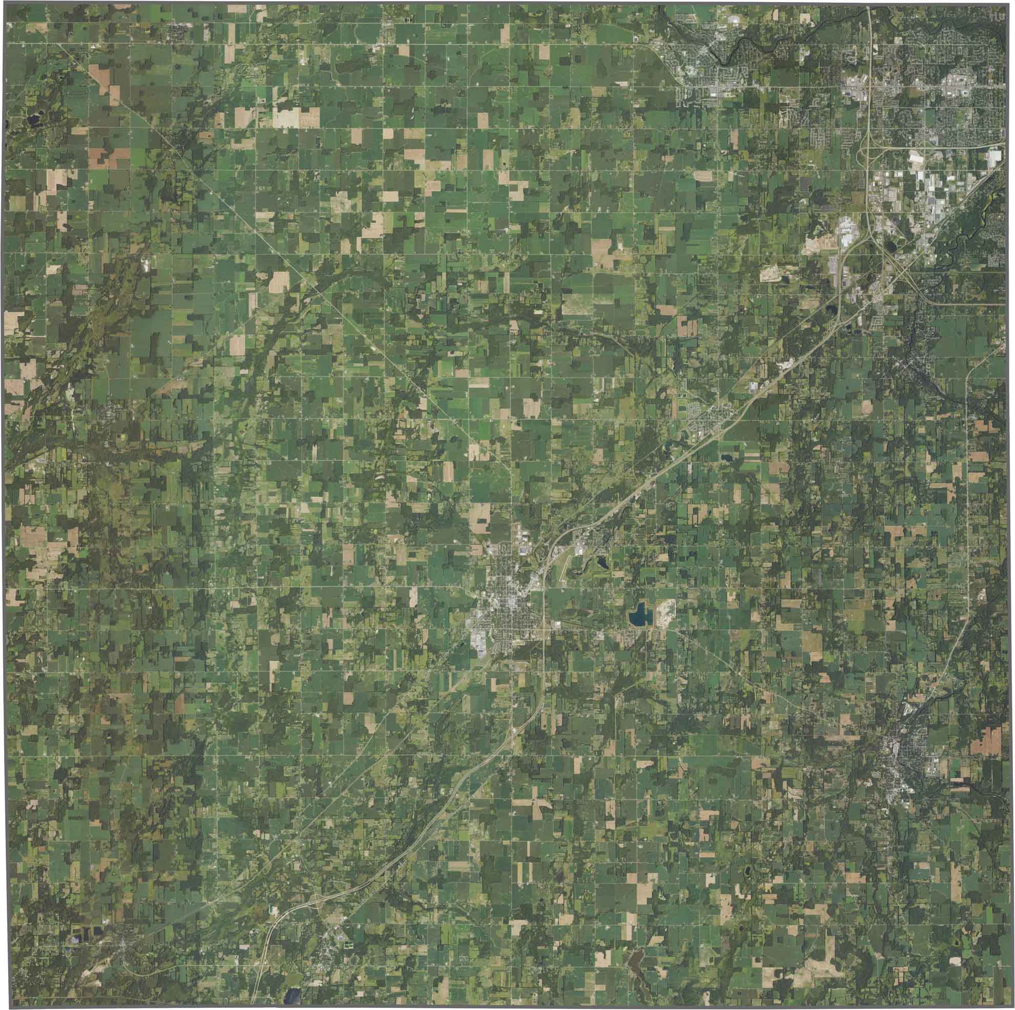
From above, green farmland dominates the scene. While small towns dot the map, open fields take up much of the landscape. Rivers wind gently through the area, with patches of forest hugging the streams. You can also spot suburban development near the Lansing border.
Eaton County has a nearly rectangular shape with very few twists. No rivers form its borders, and it doesn’t border another state. Overall, the county outline looks pretty plain.


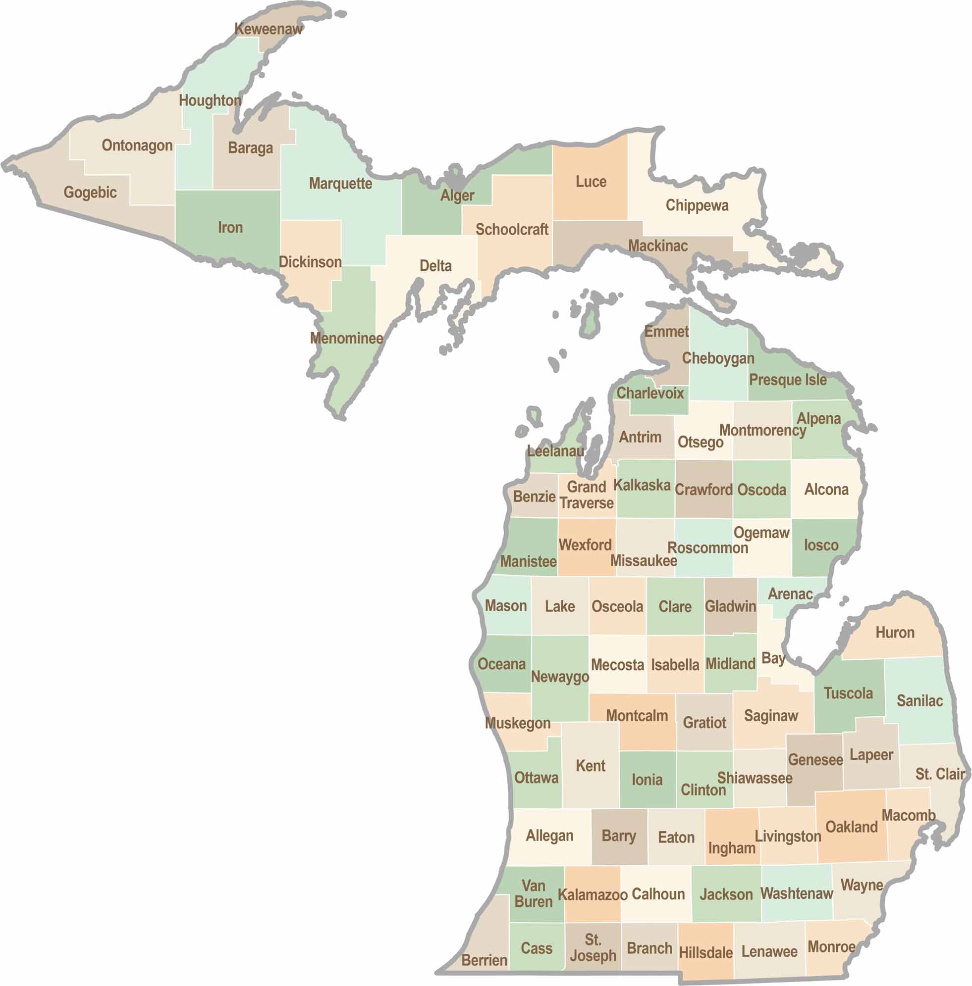
From Motown to moose sightings, Michigan’s 83 counties offer an impressive mix of urban energy, natural beauty, and outdoor adventure. Detroit celebrates its legendary Motown music heritage, while Ann Arbor brings a lively college-town atmosphere shaped by the University of Michigan. From the shores of the Great Lakes to the forests of the Upper Peninsula, the Mitten State delivers a diverse landscape filled with history, culture, and scenic attractions.